The best walks and hikes around Escandolières
4.5
(191)
1,028
hikers
72
hikes
Hiking around Escandolières offers exploration of a diverse and hilly landscape, with elevations ranging from 312 meters to 646 meters. The terrain features a mix of natural sites, including the Roque waterfall and the ecological richness of the Roudillou and Lagarrigue ponds. This area provides varied experiences for hikers, encompassing peaceful environments and historical landmarks.
Best hiking trails around Escandolières
- The most popular hiking route is Le Puech de Cayla loop from Saint-Christophe-Vallon, a 6.9 miles (11.1 km) trail…
Last updated: July 8, 2026
4.0
(10)
41
hikers
12.8km
03:43
330m
330m
Moderate hike. Good fitness required. Easily-accessible paths. Suitable for all skill levels.
4.5
(2)
17
hikers
8.78km
02:31
210m
210m
Moderate hike. Good fitness required. Easily-accessible paths. Suitable for all skill levels.

Sign up for free
5.0
(5)
14
hikers
3.84km
01:00
20m
30m
Easy hike. Great for any fitness level. Easily-accessible paths. Suitable for all skill levels.
11
hikers
24.4km
07:25
810m
810m
Hard hike. Very good fitness required. Easily-accessible paths. Suitable for all skill levels.
6
hikers
8.79km
02:35
250m
250m
Moderate hike. Good fitness required. Easily-accessible paths. Suitable for all skill levels.
Get access to more routes and recommendations from other explorers.
Sign up for free
Already have an account?
Our route recommendations are based on thousands of hikes, rides, and runs completed by other people on komoot.
Start today with a free account
Your next adventure awaits.
Login or Signup
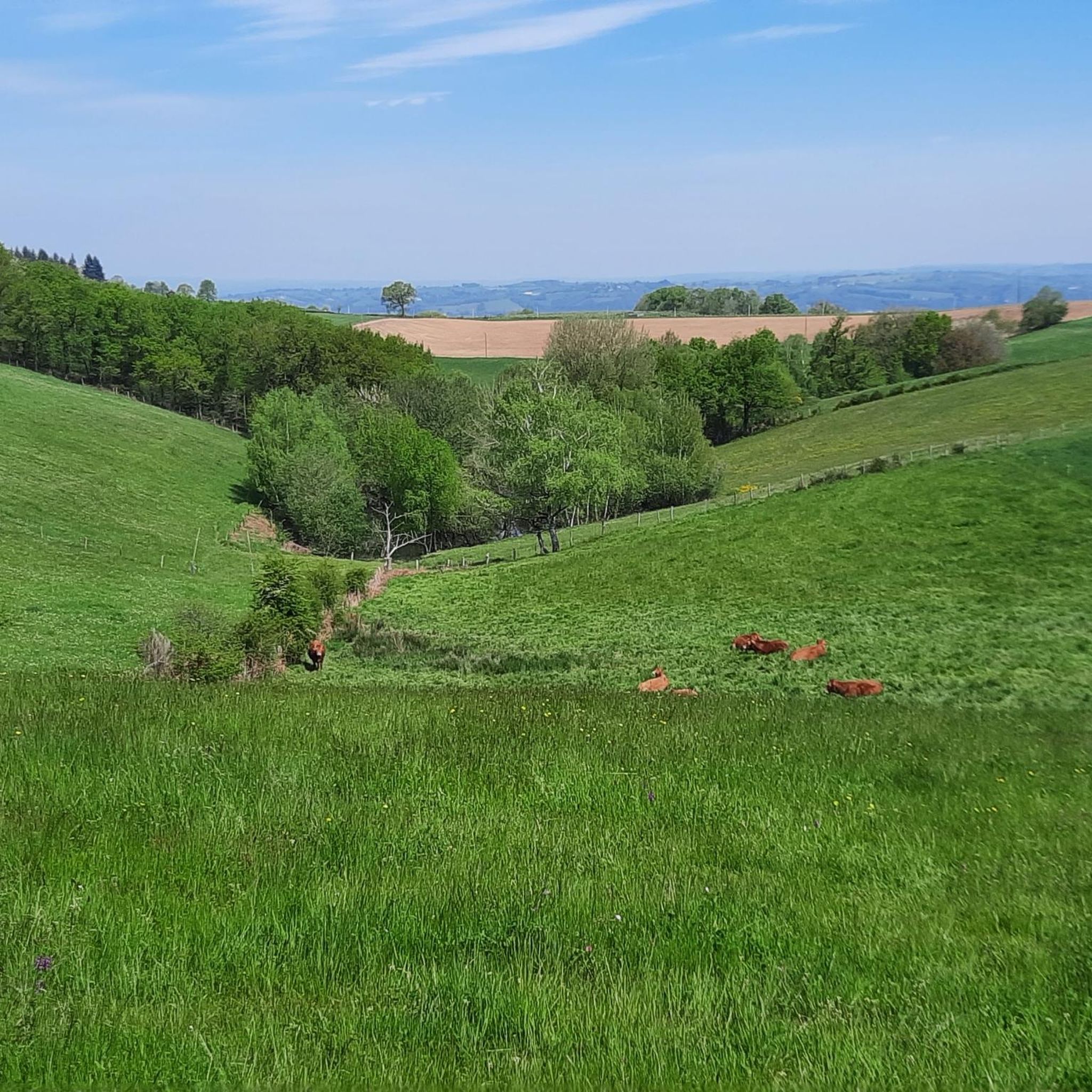
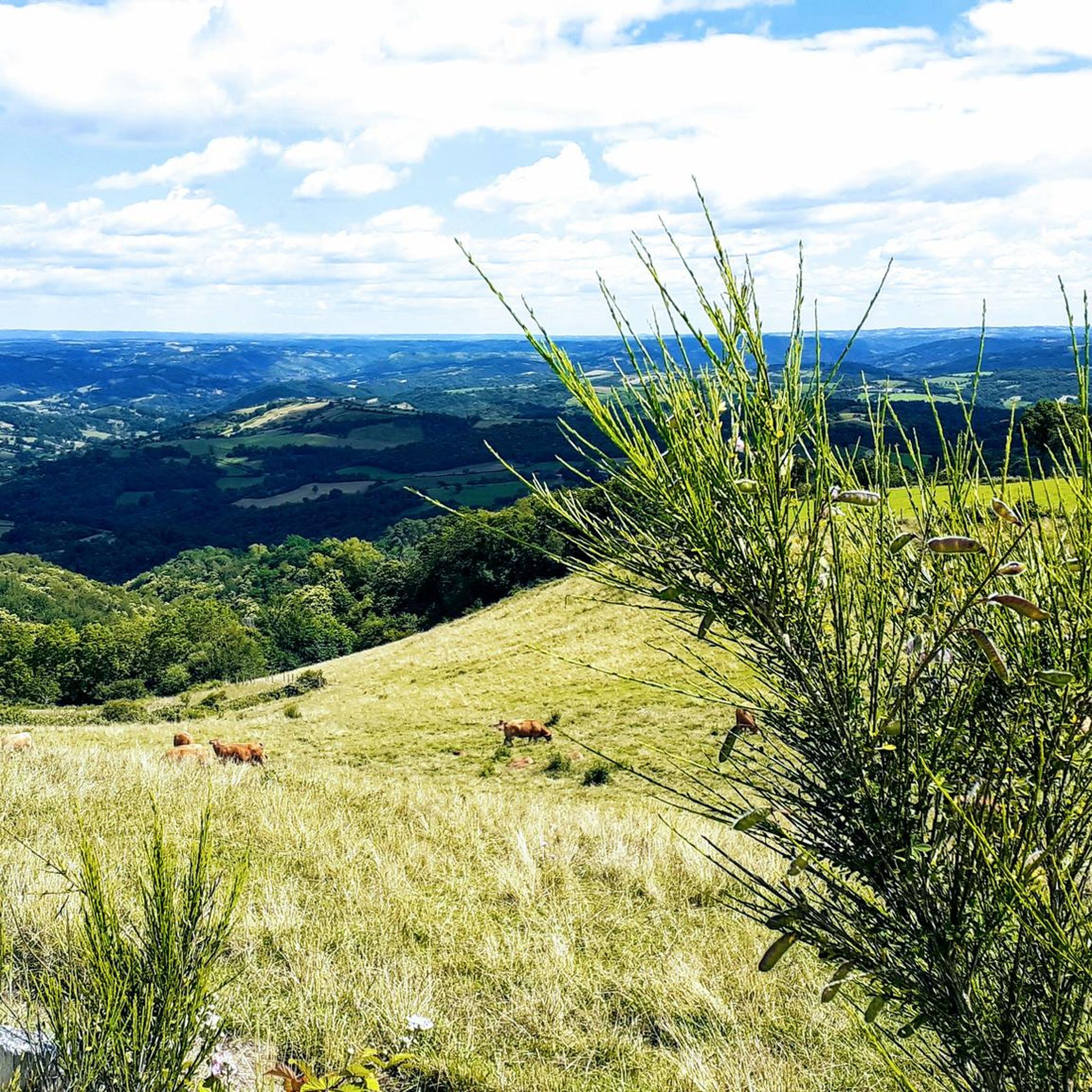
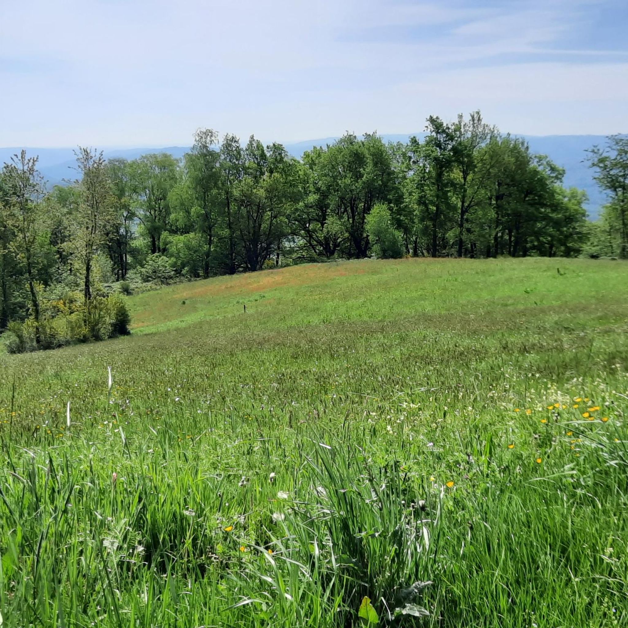
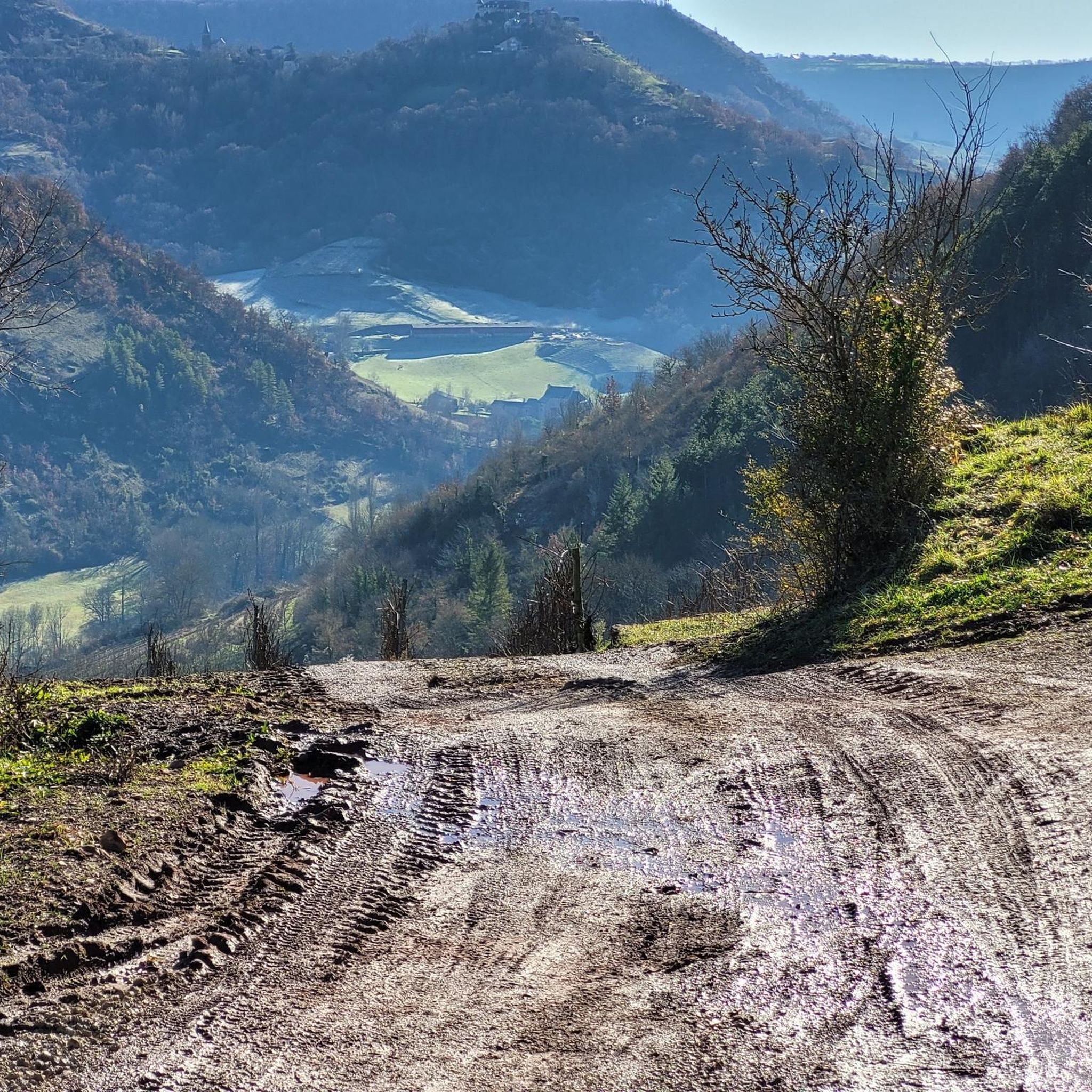

Tips from the Community

The Puech du Puot offers a nice view of the Marcillac vineyard and the Château de Panat.
1
0
The Château de Panat is a medieval castle built on a hill overlooking Clairvaux-d'Aveyron and the Ady valley. The Castrum was visited in 1062 by the son, who had become a monk, of the King of England Harold Pied-de-Lièvre (himself great-grandson of Harald à la Dent Bleue, who moreover gave his name to Bluetooth wireless technology).
1
0

Very beautiful castle, exterior renovated in 08/2022 a tower under construction, the rest of the village is worth the detour and to stop there in the middle of beautiful countryside.
1
0
Frequently Asked Questions
How many hiking trails are available around Escandolières?
There are over 130 hiking trails around Escandolières, offering a wide range of options for different skill levels and preferences. You'll find everything from easy walks to more challenging routes.
What kind of terrain can I expect when hiking in Escandolières?
Escandolières is characterized by a diverse and hilly landscape, with elevations ranging significantly from 312 meters to 646 meters. Hikers can expect varied terrain, including peaceful environments, open vistas, and some moderate ascents.
Are there any easy hiking trails suitable for beginners or families in Escandolières?
Yes, Escandolières offers nearly 50 easy hiking routes. A great option is the Château de Bournazel loop from Bournazel, an easy 2.4-mile (3.8 km) path that takes about 1 hour and passes by the historical Château de Bournazel.
What historical landmarks or natural features can I see along the trails?
The region is rich in both historical and natural attractions. You can explore sites like the 16th-century Sanhes Mill, the Saint Roch Chapel, and the impressive Château de Panat. For natural beauty, look out for the multi-tiered Roques Cascade and the ecologically rich Roudillou and Lagarrigue ponds.
Are there any circular hiking routes in the Escandolières area?
Yes, many of the trails around Escandolières are circular, allowing you to start and end at the same point. An example is the Hiking loop from Goutrens, a moderate 5.4-mile (8.7 km) route.
What do other hikers enjoy most about hiking in Escandolières?
The area is highly rated by the komoot community, with an average score of 4.5 stars from over 220 reviews. Hikers often praise the diverse and peaceful environments, the varied scenery, and the opportunity to discover historical sites along the routes.
Are there any challenging hikes for experienced hikers?
While the majority of routes are easy to moderate, there are about 10 difficult trails for those seeking a greater challenge. These routes typically involve more significant elevation changes and longer distances.
Can I bring my dog on the hiking trails in Escandolières?
Generally, dogs are welcome on many hiking trails in the Escandolières region. However, it's always advisable to check local signage for specific restrictions, especially in nature reserves or protected areas, and to keep your dog on a leash for their safety and to protect wildlife.
What is the best time of year to go hiking in Escandolières?
The diverse landscape of Escandolières can be enjoyed throughout much of the year. Spring and autumn offer pleasant temperatures and vibrant scenery, while summer is ideal for early morning or late afternoon hikes to avoid the midday heat. Winter hikes are also possible, offering a different, quieter perspective of the region.
Are there any viewpoints offering panoramic views of the region?
Yes, designated viewpoints and orientation tables can be found in Escandolières, Goutrens (such as 'la Croix de Bel'), and Cassagnes-Comtaux. These spots provide stunning vistas of the surrounding hilly landscapes and valleys.
Is there parking available at the trailheads?
Many trailheads in and around Escandolières offer convenient parking options. It's common to find parking areas in villages or near popular starting points for hikes, making access to the trails straightforward.
Are there any trails that pass through picturesque villages?
Absolutely. The region is home to charming villages that are often integrated into hiking routes. For example, the magnificent medieval village of Belcastel, listed as one of France's Most Beautiful Villages, is situated on the banks of the Aveyron River and makes for a picturesque hiking destination.
Most popular routes around Escandolières
Most popular attractions around Escandolières

Get inspired with the komoot mobile app


Explore more
Browse the best Hikes in other regions.
