The best walks and hikes around Lanuéjouls
4.4
(100)
488
hikers
41
hikes
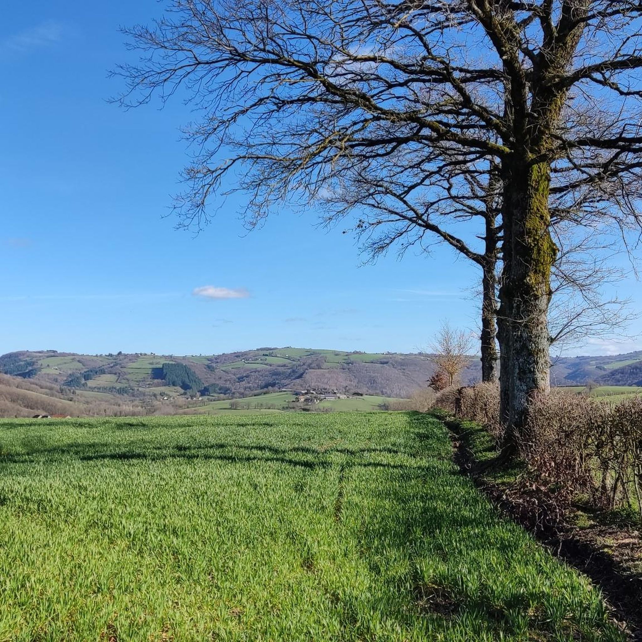
Hiking around Lanuéjouls offers a variety of trails through the rural landscape of this region. The area is characterized by its rolling hills, dense woodlands, and river valleys, providing diverse environments for outdoor exploration. Hikers can expect paths that traverse agricultural lands and lead to historical sites, with varying elevation changes. The network of hiking trails around Lanuéjouls includes options suitable for different fitness levels.
Best hiking trails around Lanuéjouls
- The most popular hiking route is Peyrusse-le-Roc – Synagogue loop…
Last updated: July 8, 2026
4.7
(18)
80
hikers
2.44km
00:48
110m
110m
Easy hike. Great for any fitness level. Easily-accessible paths. Suitable for all skill levels.
4.4
(10)
40
hikers
9.76km
03:01
360m
360m
Moderate hike. Good fitness required. Easily-accessible paths. Suitable for all skill levels.

Sign up for free
4.6
(5)
33
hikers
5.79km
01:40
140m
140m
Easy hike. Great for any fitness level. Easily-accessible paths. Suitable for all skill levels.
4.0
(3)
7
hikers
16.3km
04:42
380m
380m
Moderate hike. Good fitness required. Easily-accessible paths. Suitable for all skill levels.
4.0
(1)
9
hikers
8.41km
02:39
330m
330m
Moderate hike. Good fitness required. Easily-accessible paths. Suitable for all skill levels.
Get access to more routes and recommendations from other explorers.
Sign up for free
Already have an account?
Our route recommendations are based on thousands of hikes, rides, and runs completed by other people on komoot.
Start today with a free account
Your next adventure awaits.
Login or Signup



Tips from the Community

You can't go any higher here, but you should be free from vertigo.
3
0
This tower was originally four stories high. A geological feature can also be seen here: the right rock face, tilted forward, has left erosion marks on the left rock face.
0
0

A real insider tip, you can spend a few hours here exploring, rummaging through the ruins to your heart's content and dreaming of how it once looked here. Everything is in an idyllic valley. The place above is a bit sleepy, but lovely. Since we were all alone here, we liked it better than the more touristically developed Tours de Merle.
1
0

Horseback riding from Ranch des Centaurées (12700 Naussac), to Peyrusse le Roc.
0
0

Striking and beautiful village with the two towers.
1
0

Château Inférieur is now a ruin. The two towers are located on a rock 150 m above the stream.
0
1

Impressive village with its two emblematic towers planted on a rocky outcrop, a lush medieval garden and a charming town centre. Pedestrian paths allow you to visit the surroundings of the towers.
3
0

It is recommended to bring sticks and wear sturdy walking shoes. The route is beautiful, but not well maintained everywhere. Nice walk with lots of climbing and descending.
0
0
Frequently Asked Questions
How many hiking trails are there around Lanuéjouls?
There are over 40 hiking routes available around Lanuéjouls. These trails range from easy strolls through the countryside to more challenging moderate hikes, offering diverse options for exploration.
Are there easy hiking trails suitable for families in Lanuéjouls?
Yes, Lanuéjouls offers 17 easy hiking trails perfect for families. A great option is the The Igues of Py and Rouffiès loop from Compolibat, which is 3.6 miles (5.8 km) long and takes about 1 hour 40 minutes, leading through interesting karst formations and forests.
What kind of terrain can I expect on hikes around Lanuéjouls?
The hiking trails around Lanuéjouls feature a varied landscape of rolling hills, dense woodlands, and river valleys. You'll encounter paths that traverse agricultural lands and lead to historical sites, with a mix of ascents and descents.
Are there any circular walks in the Lanuéjouls area?
Many trails around Lanuéjouls are circular, allowing you to start and end at the same point. For example, the moderate Peyrusse-le-Roc – Peyrusse le Roc loop from Peyrusse-le-Roc is a 6.1-mile (9.8 km) route offering varied terrain through wooded areas and open landscapes.
What is the best season for hiking in Lanuéjouls?
The best seasons for hiking in Lanuéjouls are generally spring and autumn, when the weather is mild and the natural scenery is vibrant. Spring brings blooming wildflowers, while autumn offers beautiful foliage. Summer can also be pleasant, but it's advisable to start early to avoid the midday heat.
Are dogs allowed on the hiking trails around Lanuéjouls?
Most hiking trails in the Lanuéjouls region are dog-friendly, but it's always recommended to keep your dog on a leash, especially when passing through agricultural areas or near livestock. Be sure to carry water for your pet, particularly on longer routes.
What are some interesting landmarks or attractions to see near the hiking trails?
While hiking, you can explore several historical sites and natural features. Consider visiting the medieval town center of Villeneuve-d'Aveyron or the impressive Pont du Cayla. The area around Peyrusse le Roc also offers several historical points of interest, including the Parayre bridge.
Are there any trails suitable for wheelchairs around Lanuéjouls?
The rural landscape and varied terrain around Lanuéjouls, with its rolling hills and natural paths, means that most hiking trails are not specifically designed for wheelchair accessibility. It's best to check individual route descriptions for specific details on surface and gradient.
What do other hikers say about the trails in Lanuéjouls?
The hiking trails in Lanuéjouls are highly regarded by the komoot community, with an average rating of 4.5 stars from nearly 100 reviews. Hikers often praise the region's mix of historical sites, quiet wooded valleys, and diverse agricultural landscapes.
Where can I find parking for Lanuéjouls hiking trails?
Parking is typically available at the starting points of many trails, especially in or near villages like Compolibat or Peyrusse-le-Roc. Look for designated parking areas or roadside spots where permitted. Always check local signage for parking regulations.
Are there any viewpoints or scenic spots along the trails?
Yes, the rolling hills and varied landscapes of Lanuéjouls offer numerous scenic spots. Trails often lead through elevated areas or along river valleys, providing picturesque views of the surrounding countryside, dense forests, and historical ruins, particularly around areas like Peyrusse-le-Roc.
How long do hikes typically take around Lanuéjouls?
Hike durations vary significantly. Easy trails, such as the Peyrusse-le-Roc – Synagogue loop from Peyrusse-le-Roc (1.5 miles / 2.4 km), can be completed in under an hour. Moderate routes, like the Pont de Vézis loop from La Bastide-l'Évêque (10.1 miles / 16.3 km), may take 4-5 hours or more, depending on your pace and breaks.
Most popular attractions around Lanuéjouls

Get inspired with the komoot mobile app


Explore more
Browse the best Hikes in other regions.
