The best running trails around Dunningen
290
runners
38
runs
Jogging around Dunningen offers diverse terrain in southwestern Baden-Württemberg, Germany, situated between the Black Forest and the Swabian Alb. The region is characterized by expansive forests, agricultural fields, and river valleys like the Eschach, providing varied experiences for runners. Gently rolling hills and significant wetlands such as Riedbrunnen create dynamic and scenic routes. Elevations around Dunningen reach approximately 2,221 feet (677 meters) above sea level, contributing to engaging running experiences.
Best jogging routes around Dunningen
- The most popular jogging route…
Last updated: June 25, 2026
29
runners
5.90km
00:37
20m
20m
Moderate run. Good fitness required. Mostly paved surfaces. Suitable for all skill levels.
16
runners
9.39km
00:59
60m
60m
Moderate run. Good fitness required. Mostly paved surfaces. Suitable for all skill levels.

Sign up for free
18
runners
10.4km
01:05
60m
60m
Moderate run. Good fitness required. Mostly paved surfaces. Suitable for all skill levels.
10
runners
10.0km
01:05
60m
60m
Moderate run. Good fitness required. Mostly paved surfaces. Suitable for all skill levels.
5
runners
11.5km
01:12
60m
70m
Moderate run. Good fitness required. Mostly paved surfaces. Suitable for all skill levels.
Get access to more routes and recommendations from other explorers.
Sign up for free
Already have an account?
Our route recommendations are based on thousands of hikes, rides, and runs completed by other people on komoot.
Start today with a free account
Your next adventure awaits.
Login or Signup

Tips from the Community

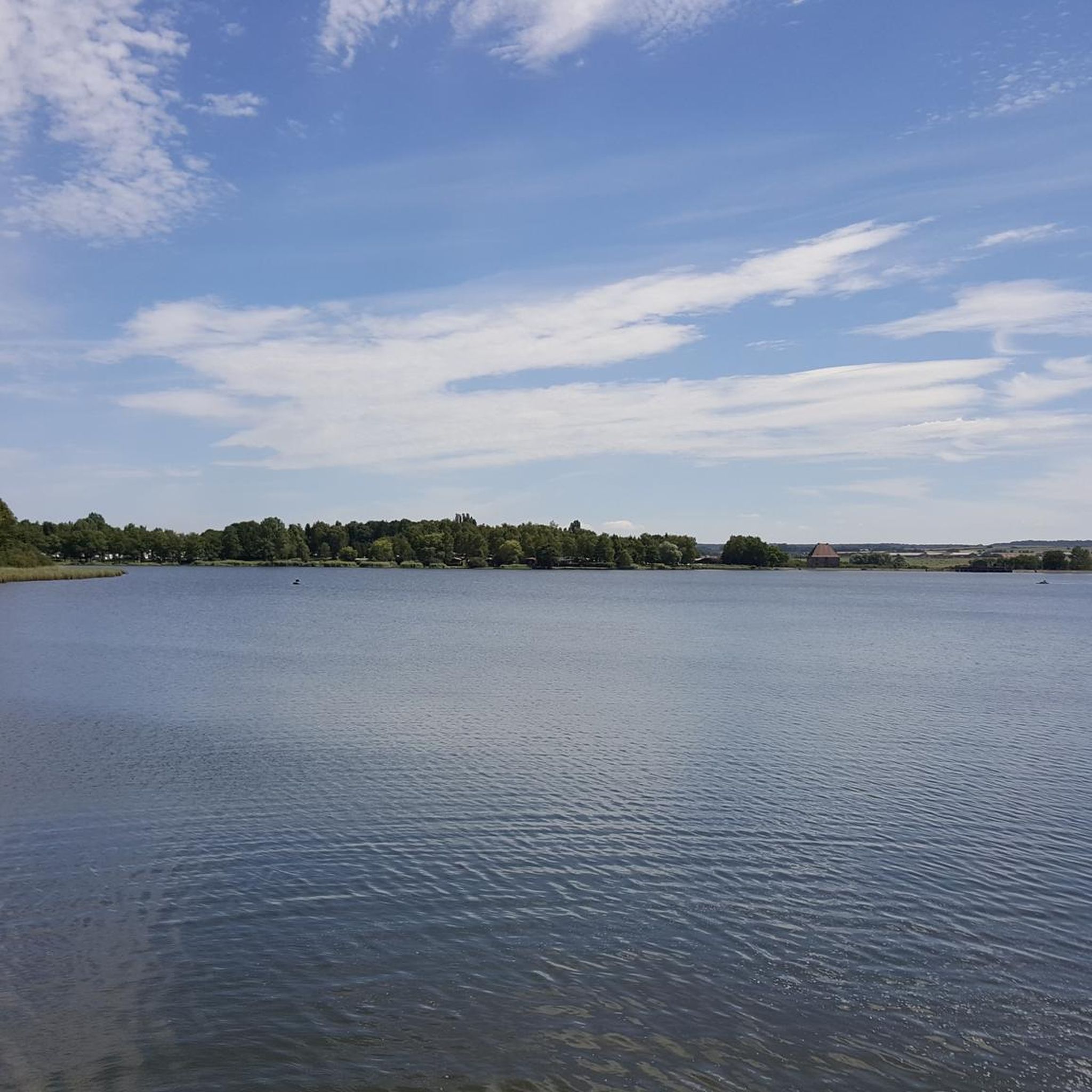
Hikers have uploaded a much larger photo gallery with additional images of this beautifully situated pond to the Highlight (corresponding to this sport). Their photos of the "Etang de Lindre" can be found via the following link =>> https://www.komoot.com/de-de/highlight/5427064
0
0

view of the Indre pond with view of the nature reserve
1
0

South of Dieuze, the Etang de Lindre belongs to the 134 ponds that make up what is called the country of ponds. Large over six square kilometres, the body of water becomes an Eden for walkers and fishermen during the summer.
1
0

Here you can make great rest, there are food and drinks, a toilet is also available! There is also a lot of information about the Domaine de Lindre and a souvenir shop for the small gifts from the holiday! Here you can see clearly, Lindre is Stocheland!
1
0
Frequently Asked Questions
How many running routes are available around Dunningen?
Dunningen offers a comprehensive network of nearly 40 running routes. These trails cater to various preferences, ranging from easy forest loops to more challenging paths across open country, ensuring a diverse experience for every runner.
What kind of terrain can I expect on the jogging trails in Dunningen?
The terrain around Dunningen is quite varied, reflecting its location at the eastern edge of the Black Forest. You'll find a mix of rolling hills, dense forest trails, and paths through open fields. The picturesque Eschachtal also offers routes through forests and juniper heath, with views of striking rock faces along the Eschach river.
Are there easy running routes suitable for beginners or a relaxed jog?
Yes, Dunningen has several easy running options. For instance, the Leichte Waldrunde mit 5,5 km Länge is an easy 5.5 km forest loop. Other gentle options include the Holderbrunnen Near Dunningen – Birnberg Pond loop and the Dunninger Pond loop, both known for their accessible paths.
Are there any longer or more challenging running trails for experienced runners?
Absolutely. For those seeking a longer or more challenging run, Dunningen offers routes like the Schöne Waldrunde mit 10 km, a beautiful 10 km forest loop. There's also the "Mittelschwere Runde über Land und Flur," a moderately difficult route across open country, and the Weiher Rest Stop – Stampfe Barbecue Area and Ponds loop, which is a moderate 7.85 km route requiring good fitness.
What natural features or landmarks can I see while running in Dunningen?
Dunningen's routes are rich in natural beauty. You can explore the scenic Eschachtal with its forests, juniper heath, and views of rock faces along the Eschach river, where you might even spot kingfishers. The area also features idyllic paths along the Brigach and Breg rivers. While not directly on all jogging paths, historic sites like the ruins of Hohenschramberg Castle, Falkenstein Castle, and Castle Ramstein offer scenic backdrops and panoramic views in the wider region.
Are there any circular running routes in Dunningen?
Yes, many of the running paths around Dunningen are designed as circular routes. A popular option is the Große befestigte 10km-Runde, a large paved 10 km loop. Other examples include the Holderbrunnen Near Dunningen – Birnberg Pond loop and the Dunninger Pond loop, providing convenient round trips.
Can I go running in Dunningen during winter?
Yes, Dunningen offers options for winter running. The Große befestigte 10km-Runde is particularly suitable as it's a paved 10 km loop with continuous lighting, making it ideal even in colder, darker months.
Are the running trails in Dunningen suitable for families?
Many of Dunningen's trails are family-friendly, especially the easier, gently undulating paths. Routes like the Holderbrunnen Near Dunningen – Birnberg Pond loop and the Dunninger Pond loop are noted for being suitable for all fitness levels and easily accessible, making them great for a family jog or walk.
Are dogs allowed on the jogging routes in Dunningen?
Generally, dogs are welcome on the outdoor trails around Dunningen. However, it's always advisable to keep your dog on a leash, especially in forested areas or near wildlife enclosures, such as where fallow deer can be observed in the Eschachtal, to ensure the safety and enjoyment of all trail users and local wildlife.
Is there parking available near the running trailheads in Dunningen?
Given Dunningen's well-developed network of paths as part of the "Rad- und WanderParadies Schwarzwald und Alb," you can typically find parking options near popular trailheads and starting points. Specific parking information for individual routes can often be found on detailed route descriptions.
What do other runners enjoy most about jogging in Dunningen?
The komoot community highly appreciates Dunningen's diverse running landscape. With over 275 visitors exploring the area, runners frequently praise the varied terrain, from tranquil forest paths to scenic river valleys, and the well-maintained trail network that caters to all ability levels.
Most popular attractions around Dunningen

Get inspired with the komoot mobile app


Explore more
Browse the best Running Trails & Routes in other regions.
