The best walks and hikes around Lacollonge
4.4
(484)
3,633
hikers
212
hikes
Hiking around Lacollonge offers a network of trails through varied terrain, characterized by woodlands, gentle ascents, and water features. The region's landscape includes rolling hills and proximity to the foothills of the Massif des Vosges. These routes provide opportunities to explore the natural environment with moderate elevation changes.
Best hiking trails around Lacollonge
- The most popular hiking route is Bridge over the Autruche – Stone Water Source loop from Bessoncourt, a 7.7 miles (12.3 km) trail that takes 3…
Last updated: July 5, 2026
4.6
(7)
29
hikers
12.3km
03:13
100m
100m
Moderate hike. Good fitness required. Easily-accessible paths. Suitable for all skill levels.
3.0
(1)
16
hikers
11.6km
03:01
80m
80m
Moderate hike. Good fitness required. Easily-accessible paths. Suitable for all skill levels.

Sign up for free
12
hikers
9.72km
02:37
120m
120m
Moderate hike. Good fitness required. Mostly accessible paths. Sure-footedness required.
6
hikers
4.39km
01:09
30m
30m
Easy hike. Great for any fitness level. Easily-accessible paths. Suitable for all skill levels.
4.5
(2)
6
hikers
8.12km
02:06
50m
50m
Moderate hike. Good fitness required. Easily-accessible paths. Suitable for all skill levels.
Get access to more routes and recommendations from other explorers.
Sign up for free
Already have an account?
Our route recommendations are based on thousands of hikes, rides, and runs completed by other people on komoot.
Start today with a free account
Your next adventure awaits.
Login or Signup

Tips from the Community


Named after General Sénarmont, Fort Bessoncourt was built between 1883 and 1886 to close the roads to Colmar and Basel and the railway to Mulhouse, and to support the forts of Roppe and Vézelois. It is a large pentagonal limestone structure, built for approximately 650 men and 30 artillery pieces. It is typical of forts dating from the 1880s, in which the long-range artillery and close defense were grouped on the rampart bordering the ditch, while the infantry was positioned above the caponiers of the escarpment and on the roof of the central barracks. Opening hours: Visit at 3 p.m. on Sundays from May to September
2
1

France presenting Victory" Sculpture by Louis Maubert (1875-1949), born in Paris.
0
0
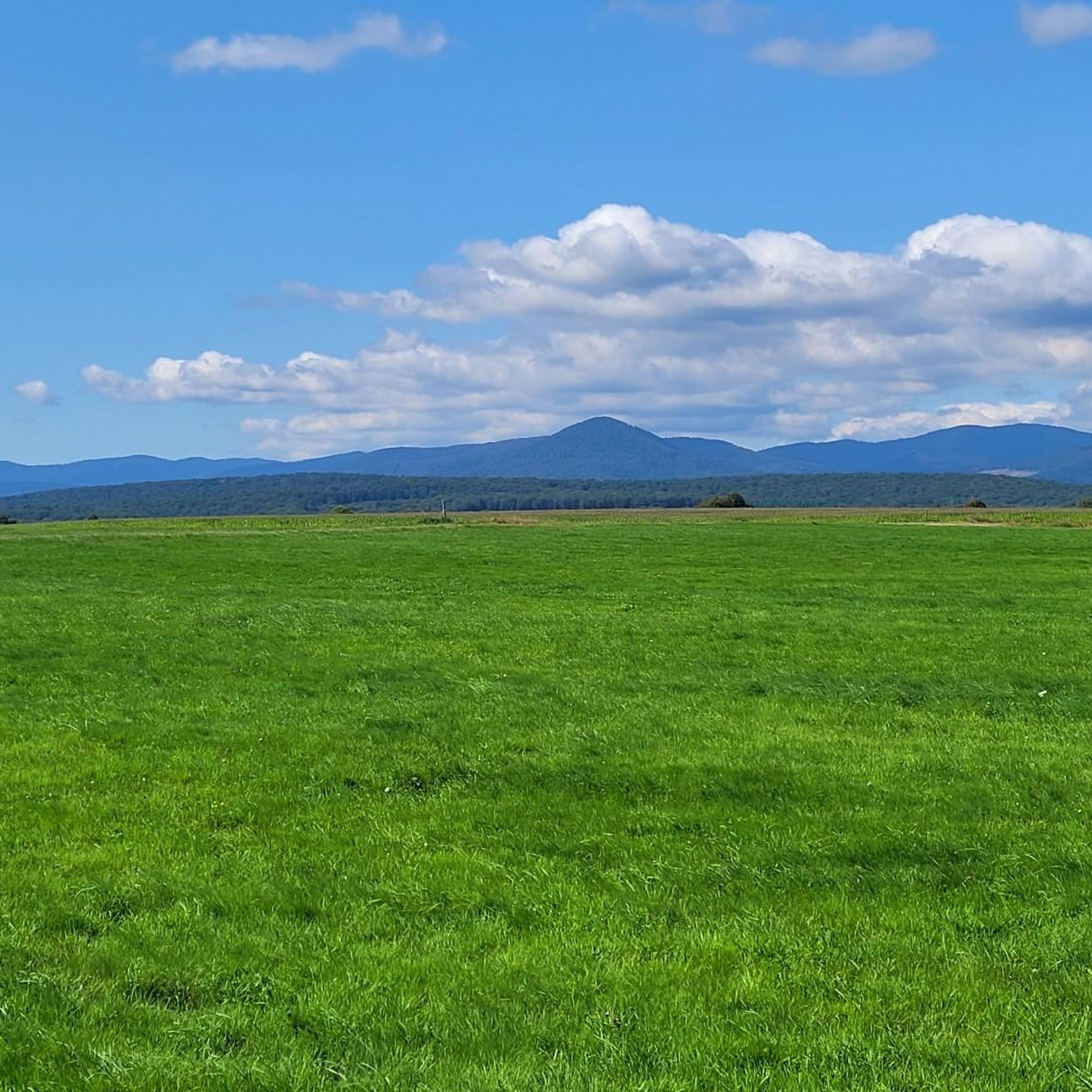
The Vosges massif or the Vosges is a massif of medium mountains in the North-East of France which separates the Lorraine plateau from the plain of Alsace. Of Variscan origin and mainly made up of sandstone and granite, it reaches altitudes culminating at 1,424 meters at the Grand Ballon.
0
0
Named after General Senarmont, Fort Bessoncourt was erected between 1883 and 1886 to block the roads to Colmar and Basel and the Mulhouse railway line, and to cover the forts of Roppe and Vézelois. It is a large limestone masonry fort, pentagonal in plan, designed for about 650 men and about 30 artillery pieces. It is representative of the forts of the 1880s, in which the artillery for distant action and that for close defense were assembled on the rampart bordering the ditch, while the infantry took up position above the caponiers and on the roof of the central barracks. But shortly after its construction, it is already outdated and needs modernization. It is one of the few forts in the square to have constantly kept pace with technical progress: in 1888, a concrete shell was poured over a third of its central barracks: in 1894-1895, most of its artillery being dispersed in surrounding batteries, it became an infantry support point and underwent a complete overhaul. In 1908-1909, two turrets for 75 guns and two machine gun turrets were installed. During the First World War, the fort served as a hospital, but from 1917, fortification work resumed with the digging of deeply buried rooms and galleries connecting the fort with the outside.
1
1

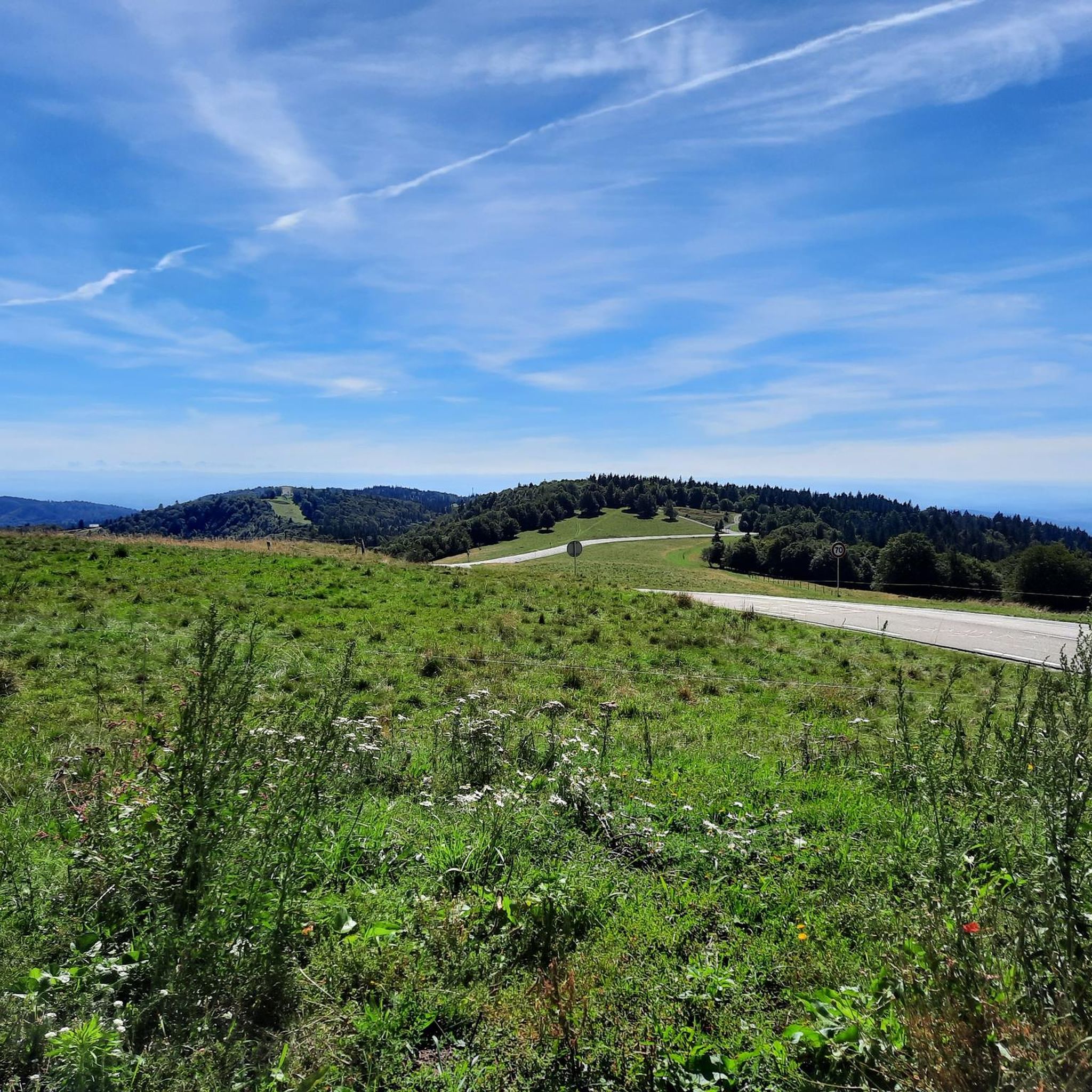
Perfect place to walk the dog! Area for mountain biking, hikers, horses.
0
0

Frequently Asked Questions
How many hiking trails are available around Lacollonge?
There are nearly 200 hiking trails around Lacollonge. The region offers a diverse network of paths through woodlands, past water features, and with views towards the Massif des Vosges, catering to various preferences and fitness levels.
Are there easy hiking trails suitable for beginners or casual walkers?
Yes, Lacollonge features around 80 easy trails. An excellent option for a relaxed walk is the At the foot of the Massif des Vosges loop from Eguenigue, which is just over 4 km long and takes about 1 hour 10 minutes to complete.
What kind of terrain can I expect on hikes in Lacollonge?
Hiking in Lacollonge is characterized by varied terrain, including woodlands, gentle ascents, and numerous water features like ponds and streams. You'll often find yourself on well-maintained paths with moderate elevation changes, offering scenic views towards the foothills of the Massif des Vosges.
Are there any circular hiking routes in the Lacollonge area?
Yes, many routes in Lacollonge are circular. For example, the The Log Footbridge loop from Bessoncourt is a moderate 8.1 km trail that takes around 2 hours 6 minutes, offering a pleasant loop experience through the local landscape.
What are some scenic viewpoints or natural landmarks to look out for?
The region offers picturesque views, particularly towards the Massif des Vosges. You can also explore interesting natural features like the Canal du Rhône au Rhin. Many trails also pass by tranquil ponds and through charming woodlands.
Are there any historical sites or attractions near the hiking trails?
Yes, the area around Lacollonge is rich in history. You can visit the impressive Citadel of Belfort or the Lion of Belfort. For those interested in older structures, the Ruins of Rougemont Castle offer a glimpse into the past.
Is Lacollonge suitable for family-friendly walks?
Absolutely. With nearly 80 easy trails, many routes are suitable for families. These paths often feature gentle terrain and offer opportunities to enjoy nature without strenuous climbs, making them ideal for all ages.
What is the best season for hiking in Lacollonge?
The best seasons for hiking in Lacollonge are typically spring, summer, and autumn. Spring brings blooming flora, summer offers warm weather for longer days, and autumn showcases beautiful fall foliage. The moderate elevation changes make most trails enjoyable across these seasons.
What do other hikers enjoy most about the trails in Lacollonge?
The trails in Lacollonge are highly rated by the komoot community, with an average score of 4.3 stars from over 400 reviews. Hikers often praise the quiet woodlands, the variety of water features, and the well-maintained paths that offer a peaceful escape into nature.
Are there options for parking at the trailheads?
While specific parking details vary by trailhead, many popular starting points for hikes in the Lacollonge region, especially those near villages like Bessoncourt or Phaffans, typically offer designated parking areas or roadside parking options for hikers.
Can I reach hiking routes in Lacollonge using public transport?
Access to trailheads by public transport can be limited in some rural areas around Lacollonge. It is advisable to check local bus schedules or regional transport options for specific starting points, as many routes are more easily accessible by car.
Are there any lesser-known or 'hidden gem' trails in the area?
Beyond the most popular routes, the extensive network of nearly 200 trails means there are many quieter paths to discover. Exploring trails that venture deeper into the local woodlands or connect smaller hamlets often reveals peaceful, less-trafficked sections of the region.
Most popular routes around Lacollonge
Most popular attractions around Lacollonge

Get inspired with the komoot mobile app


Explore more
Browse the best Hikes in other regions.
