The best walks and hikes around Saint-Germain-Le-Châtelet
4.5
(647)
4,194
hikers
234
hikes
Hiking around Saint-Germain-Le-Châtelet offers varied terrain at the northern foothills of the Vosges mountains. The landscape features a mix of forests, open countryside, and noticeable elevation changes. Mount du Chatelet, at 539 meters, provides elevated perspectives of the surrounding area, including views of the Alsace Plain and the Vosges peaks. This region is well-suited for outdoor enthusiasts seeking diverse hiking experiences.
Best hiking trails around Saint-Germain-Le-Châtelet
- The most popular hiking route is Ruins of Rougemont Castle – Roche Marchal (1022m)…
Last updated: July 5, 2026
4.4
(7)
37
hikers
Hard hike. Very good fitness required. Mostly accessible paths. Sure-footedness required.
5.0
(3)
10
hikers
10.2km
02:52
170m
170m
Moderate hike. Good fitness required. Mostly accessible paths. Sure-footedness required.

Sign up for free
12
hikers
9.72km
02:37
120m
120m
Moderate hike. Good fitness required. Mostly accessible paths. Sure-footedness required.
5.0
(2)
9
hikers
Hard hike. Good fitness required. Sure-footedness, sturdy shoes and alpine experience required.
5.0
(2)
12
hikers
5.87km
02:00
290m
290m
Moderate hike. Good fitness required. Mostly accessible paths. Sure-footedness required.
Get access to more routes and recommendations from other explorers.
Sign up for free
Already have an account?
Our route recommendations are based on thousands of hikes, rides, and runs completed by other people on komoot.
Start today with a free account
Your next adventure awaits.
Login or Signup


Tips from the Community


old castle ruins
0
0

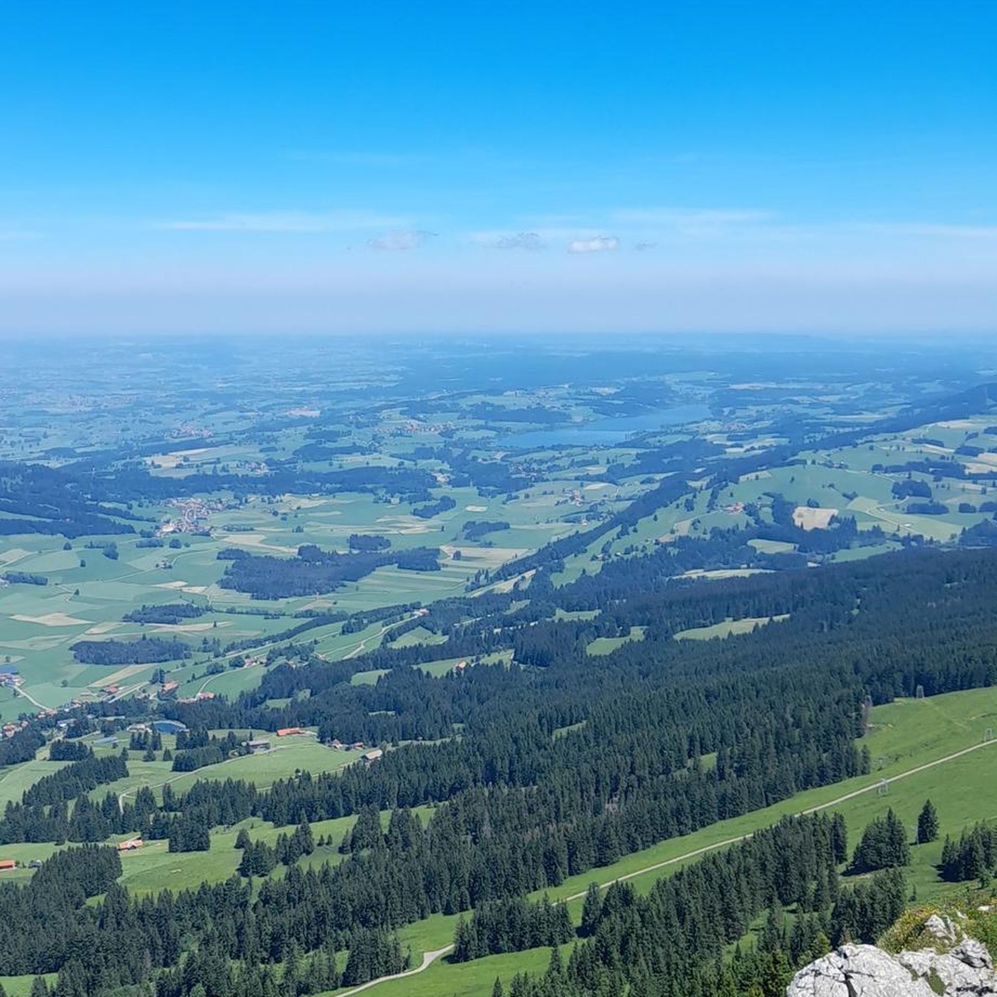
Beautiful viewpoint over the Doller Valley, table and benches installed by the Club Vosgien in 2013.
0
0

The Vosges massif or the Vosges is a massif of medium mountains in the North-East of France which separates the Lorraine plateau from the plain of Alsace. Of Variscan origin and mainly made up of sandstone and granite, it reaches altitudes culminating at 1,424 meters at the Grand Ballon.
0
0

Ideal for VTTAE or Sur-Ron 👍
0
0

At the end of the 12th century, the Counts of Ferrette built the "Château Haut". This construction, at an altitude of 736m, makes it possible to monitor the entire plain and strengthen their defense system. Archaeological excavations of the building have made it possible to date its destruction to 1375. Panels explain the details of the castle.
1
0

We shit to go up there but it's worth it ...
2
0
Frequently Asked Questions
How many hiking trails are available in Saint-Germain-Le-Châtelet?
There are over 200 hiking routes around Saint-Germain-Le-Châtelet. These include a wide range of difficulties, with approximately 80 easy trails, nearly 100 moderate routes, and around 40 more challenging hikes.
What kind of terrain will I encounter on hikes in this region?
Hiking in Saint-Germain-Le-Châtelet offers varied terrain, situated at the northern foothills of the Vosges mountains. You can expect a mix of dense forests, open countryside, and noticeable elevation changes. Trails often feature forest paths, tracks, and small roads, with some sections potentially wet after rain. Mount du Chatelet, at 539 meters, provides elevated perspectives.
Are there any circular hiking routes in Saint-Germain-Le-Châtelet?
Yes, many routes in the area are circular. For example, the moderate Clairière de Saint Germain – The felon tour loop from Felon is a 10.2 km trail that takes you through varied forest and countryside. Another option is the 6.2 km "La Balade du Châtelet" which is an easy loop passing through the Bois du Châtelet.
What are some notable landmarks or viewpoints I can see while hiking?
The region offers several points of interest and scenic views. You can enjoy expansive views of the Alsace Plain and the crests of the Vosges mountains from certain trails, such as "Le Chemin du Pré des Loups." Historical sites like the Ruins of Rougemont Castle are also accessible on hikes like the Ruins of Rougemont Castle – Chapelle Ste Catherine loop from Rougemont-le-Château. The churches of Saint-Germain and Anjoutey, and the fountain of Bourg (Vénus), can be seen along "La Balade du Châtelet."
Are there any challenging hikes with significant elevation gain?
Yes, for those seeking a challenge, the Ruins of Rougemont Castle – Roche Marchal (1022m) loop from Rougemont-le-Château is a difficult 17.1 km trail featuring significant elevation gain towards Roche Marchal. Another difficult option is the Ruins of Rougemont Castle – The Château du Montori loop from Rougemont-le-Château, which covers 9.1 km with considerable ascent.
What is the best time of year to go hiking in Saint-Germain-Le-Châtelet?
The region's deciduous forests and varied landscapes make it appealing across seasons. Spring and autumn offer particularly beautiful scenery with changing foliage. While specific recommendations for winter hikes are not detailed, the trails are generally accessible for most of the year, with some sections potentially wet after rain.
Are there any easy routes suitable for beginners or a quick walk?
Yes, there are many easy options. The "La Balade du Châtelet" is a 6.2 km easy trail that takes about 2 hours. For an even shorter, easier walk, "Le Verger Martha" is a 2.6 km loop designed to take about 45 minutes with a modest elevation change, perfect for a casual stroll.
What do other hikers enjoy most about the trails in Saint-Germain-Le-Châtelet?
The hiking routes in Saint-Germain-Le-Châtelet are highly rated by the komoot community, with an average score of 4.4 stars from over 500 reviews. Hikers often praise the diverse terrain, the blend of forest and countryside, and the panoramic views of the Alsace Plain and Vosges peaks. The well-marked trails and varied difficulty levels are also frequently appreciated.
Is there parking available near the trailheads?
While specific parking locations for every trailhead are not detailed, Saint-Germain-Le-Châtelet is well-equipped for hikers, suggesting that parking is generally available near popular starting points for the marked trails. It's advisable to check individual route descriptions for precise parking information.
Can I reach the hiking trails using public transport?
Information regarding specific public transport links directly to trailheads is not readily available. However, Saint-Germain-Le-Châtelet is a commune in the Territoire de Belfort, and local transport options may exist to reach the village itself. For detailed public transport access to specific starting points, it's recommended to consult local transport services.
Are there any trails that offer views of the Vosges mountains?
Absolutely. Trails like "Le Chemin du Pré des Loups" are known for offering expansive views of the Alsace plain and the crests of the Vosges mountains. The elevated perspectives from Mount du Chatelet also provide excellent opportunities to see the surrounding Vosges foothills.
Most popular routes around Saint-Germain-Le-Châtelet
Most popular attractions around Saint-Germain-Le-Châtelet

Get inspired with the komoot mobile app


Explore more
Browse the best Hikes in other regions.
