The best walks and hikes around Staufen
4.5
(2551)
16,652
hikers
485
hikes
Hiking around Staufen offers access to a diverse landscape characterized by forested hills, historical ruins, and varied terrain. The region features numerous paths that traverse through woodlands and open areas, providing elevation changes suitable for different hiking experiences. Trails often lead to viewpoints or historical landmarks, showcasing the natural and cultural elements of the area.
Best hiking trails around Staufen
- The most popular hiking route is Ruins of Rougemont Castle – Roche Marchal (1022m) loop from Rougemont-le-Château, a 10.6…
Last updated: July 5, 2026
4.0
(3)
18
hikers
14.2km
04:59
590m
590m
Hard hike. Good fitness required. Sure-footedness, sturdy shoes and alpine experience required.
4.0
(2)
8
hikers
8.59km
03:15
410m
410m
Hard hike. Good fitness required. Sure-footedness, sturdy shoes and alpine experience required.

Sign up for free
5.0
(1)
7
hikers
4.15km
01:13
110m
110m
Easy hike. Great for any fitness level. Easily-accessible paths. Suitable for all skill levels.
3.0
(2)
5
hikers
3.32km
01:07
150m
150m
Hard hike. Great for any fitness level. Sure-footedness, sturdy shoes and alpine experience required.
1.0
(1)
6
hikers
6.37km
01:46
110m
110m
Easy hike. Great for any fitness level. Easily-accessible paths. Suitable for all skill levels.
Get access to more routes and recommendations from other explorers.
Sign up for free
Already have an account?
Our route recommendations are based on thousands of hikes, rides, and runs completed by other people on komoot.
Start today with a free account
Your next adventure awaits.
Login or Signup
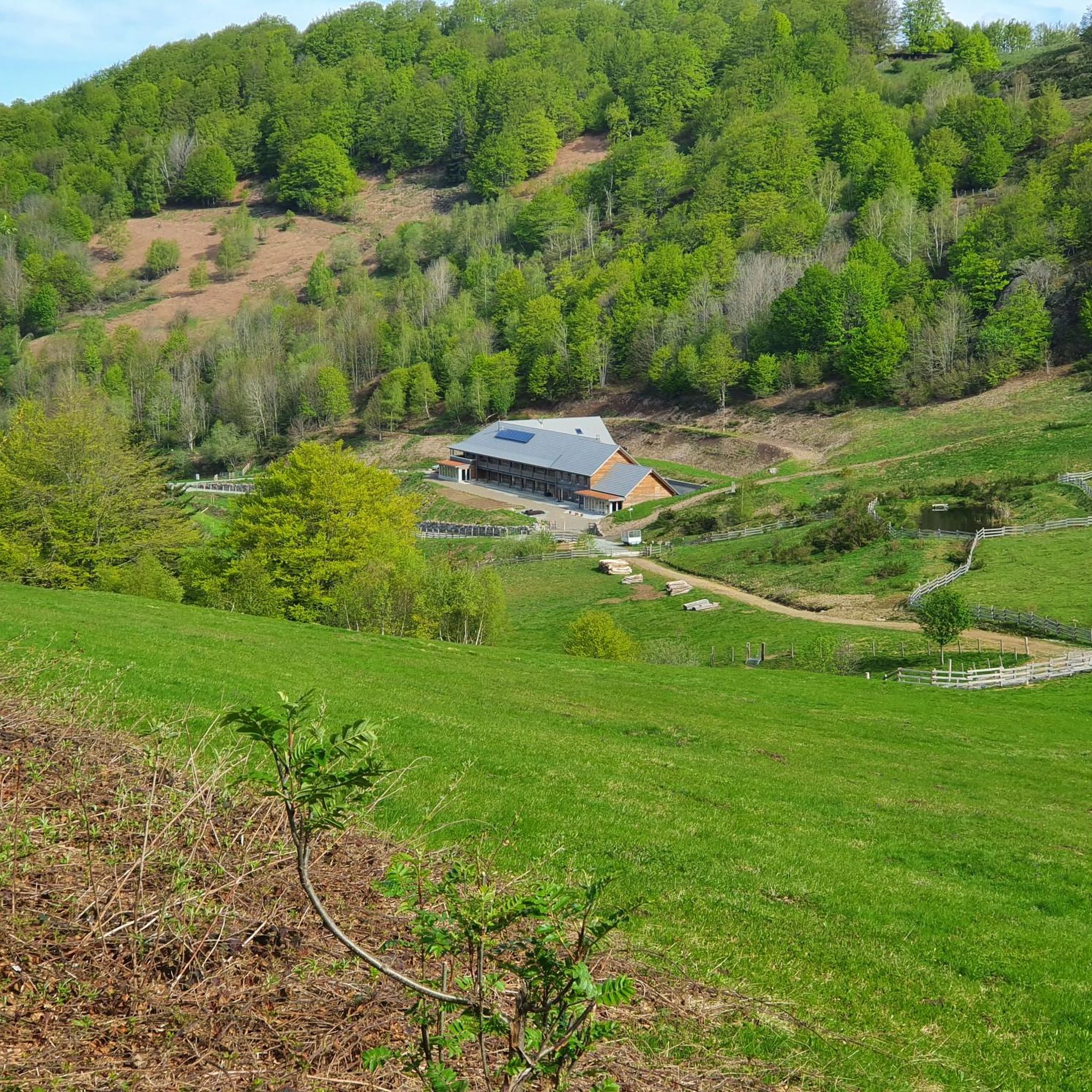
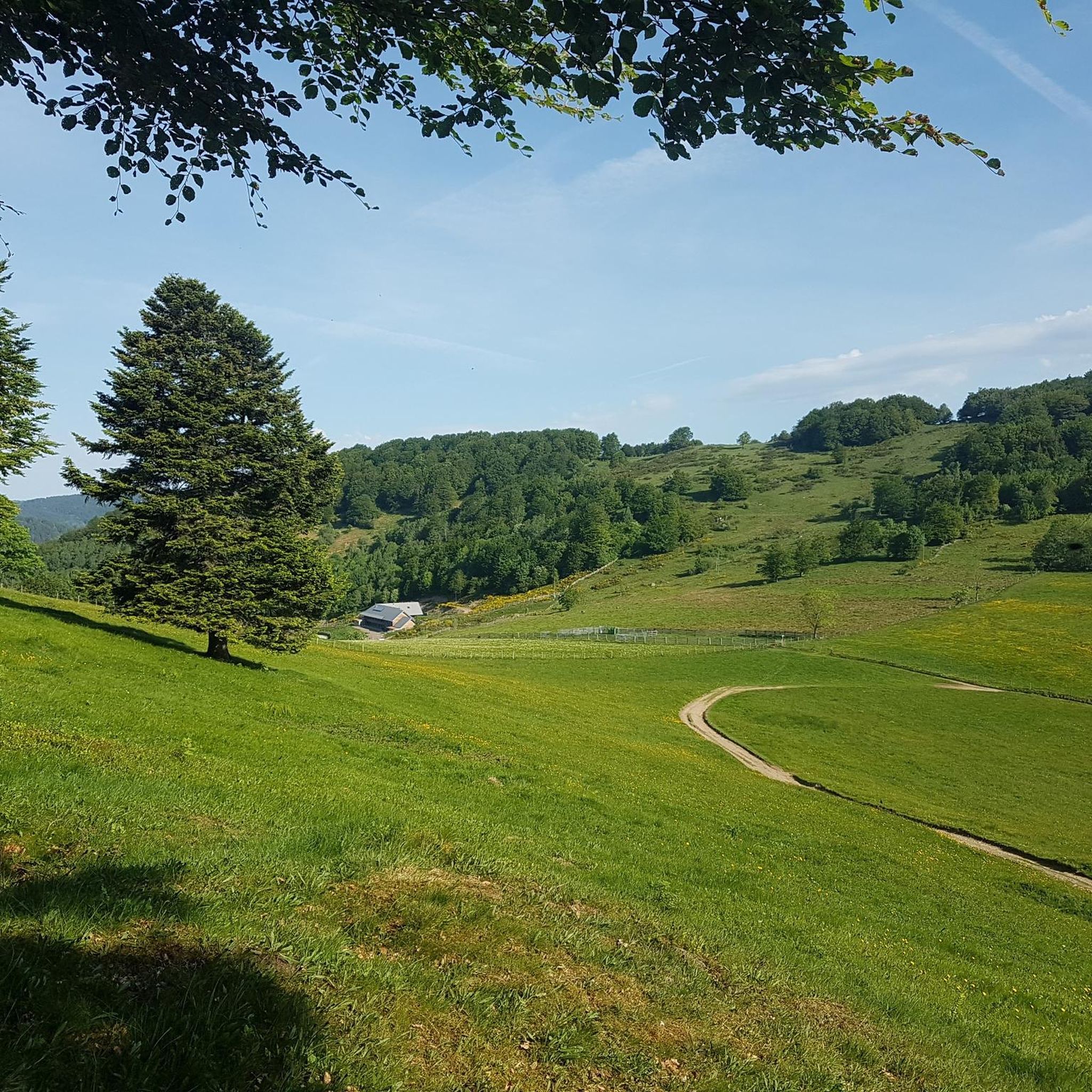
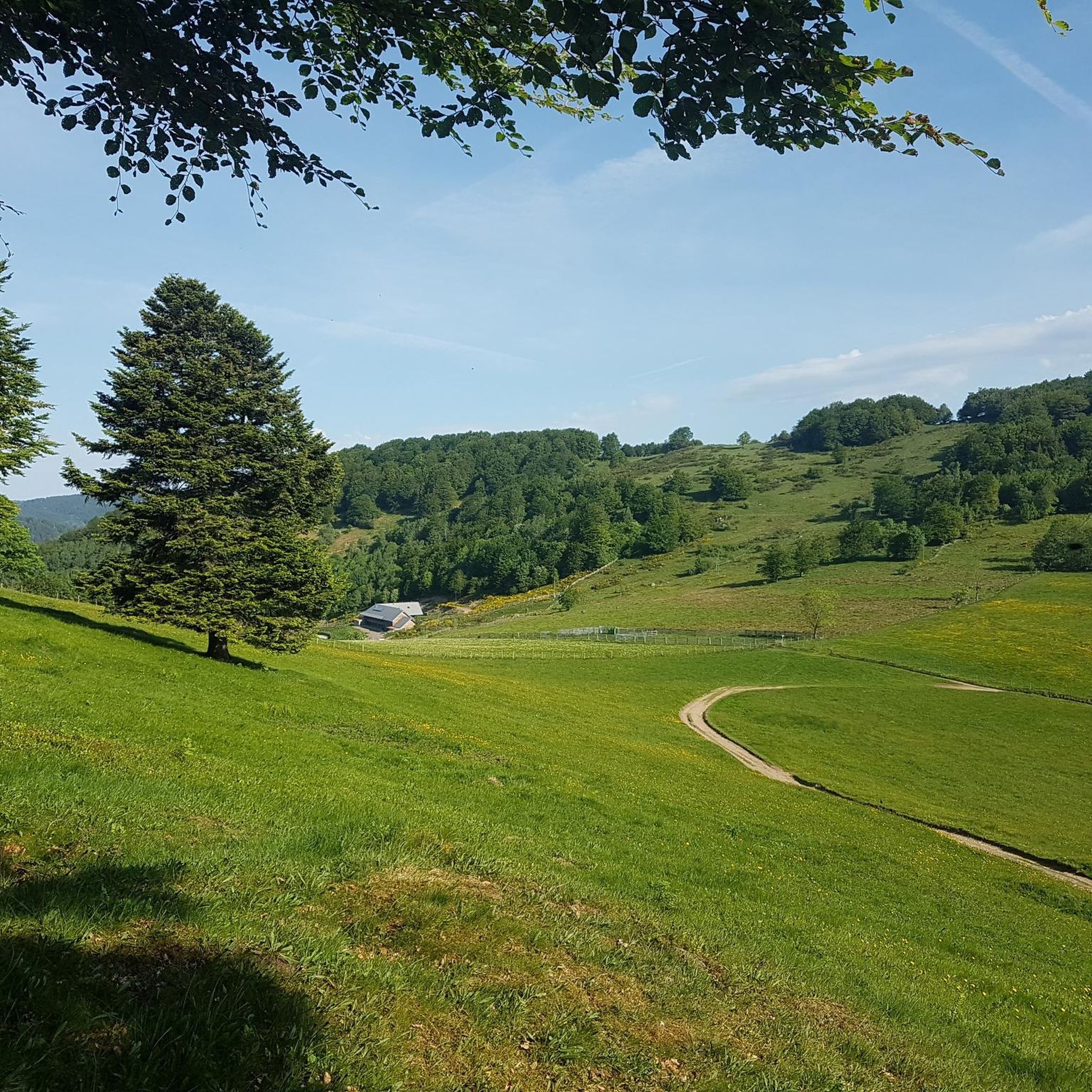

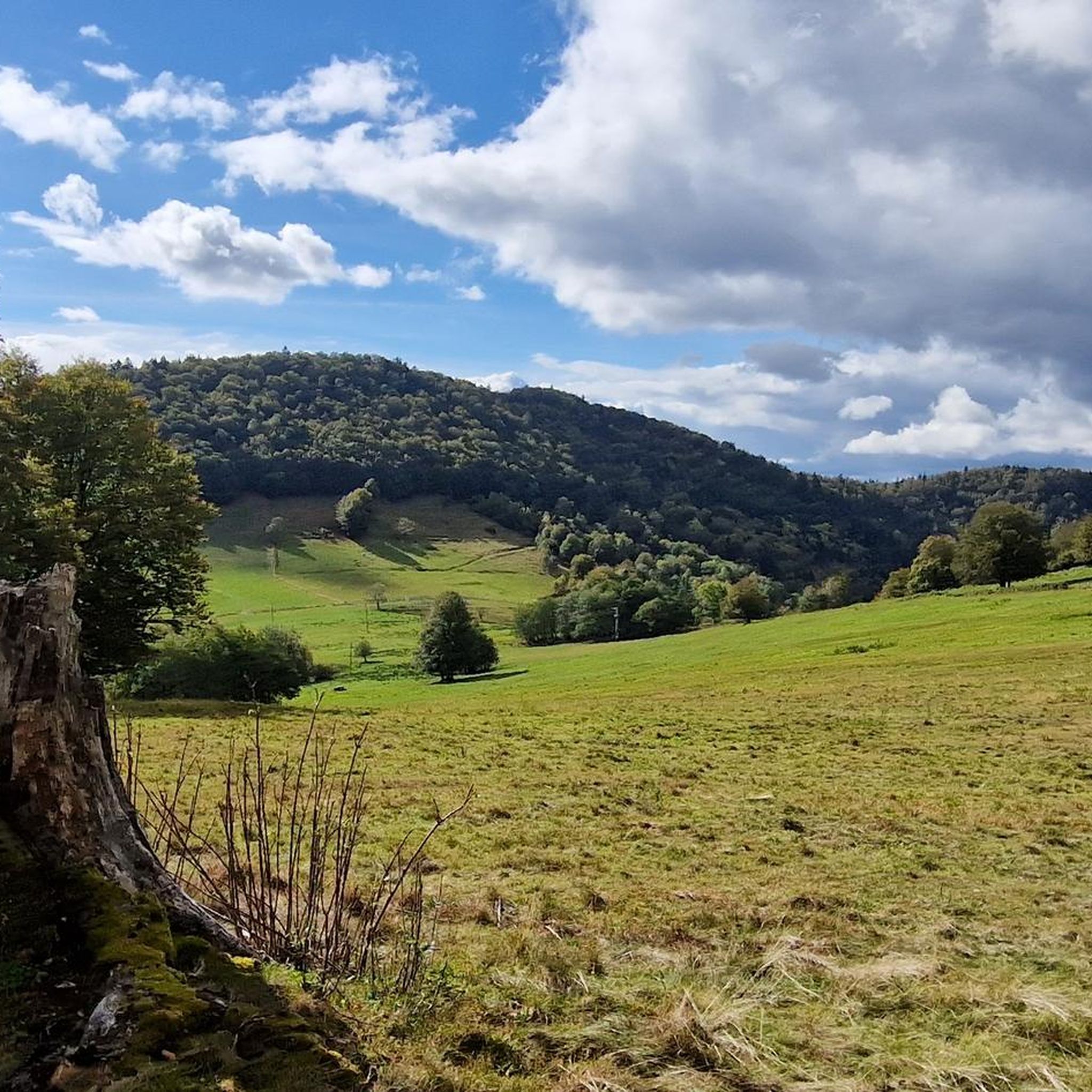
Tips from the Community


pretty fishing pond, perfect for taking a quick ravito break.
0
0
Frequently Asked Questions
How many hiking trails are there in Staufen?
The Staufen region offers a wide variety of hiking experiences, with over 470 routes available. These trails traverse diverse landscapes, including forested hills and historical sites.
Are there easy hiking trails suitable for beginners in Staufen?
Yes, Staufen has numerous options for beginners and those seeking less strenuous walks. There are over 150 easy routes, often featuring gentler terrain through woodlands and open areas.
What kind of historical sites or landmarks can I explore while hiking around Staufen?
Many trails in Staufen lead to historical sites. For example, the Ruins of Rougemont Castle – Chapelle Ste Catherine loop from Rougemont-le-Château takes you past significant castle ruins and a chapel. The region is rich with such cultural elements integrated into its natural paths.
Are there any hikes with waterfalls near Staufen?
Yes, the area around Staufen features beautiful waterfalls. You can explore highlights such as the Rummel Waterfalls and the Small and Large Seebach Waterfalls, which are popular natural attractions in the region.
Can I find circular hiking routes in Staufen?
Absolutely. Many of the trails in Staufen are designed as loops, allowing you to start and end at the same point. An example is the Haut Guignot – Route du Fayé loop from Grosmagny, which offers a moderate challenge through varied terrain.
Are there family-friendly hiking options in Staufen?
Staufen offers several trails suitable for families, particularly among the easier and moderate routes. These often feature well-maintained paths and points of interest that can engage younger hikers. Look for routes with shorter distances and less elevation gain.
What are the options for public transport to access hiking trails in Staufen?
While specific public transport connections vary by trailhead, Staufen and its surrounding villages are generally accessible by local bus services. It's advisable to check local transport schedules for the most convenient access points to your chosen hiking trail.
Are there dog-friendly trails in Staufen?
Most hiking trails in Staufen are dog-friendly, provided dogs are kept on a leash, especially in nature protection areas or near livestock. It's always a good idea to carry water for your pet and check specific trail regulations if posted.
Where can I find the best viewpoints on hikes around Staufen?
Staufen's hilly landscape provides many opportunities for scenic views. Trails often lead to elevated points offering panoramic vistas. For example, the Ballon d'Alsace summit is a prominent natural monument that provides expansive views of the surrounding area.
What is the best time of year to go hiking in Staufen?
Spring and autumn are generally considered the best times for hiking in Staufen, with pleasant temperatures and vibrant natural colors. Summer offers longer daylight hours but can be warmer, while winter hiking is possible on some trails, especially at lower elevations, but requires appropriate gear for potentially snowy or icy conditions.
How long do hikes around Staufen typically take?
Hiking durations in Staufen vary significantly based on the trail's length and difficulty. For instance, a moderate route like the Ruins of Rougemont Castle – Chapelle Ste Catherine loop typically takes around 3 hours 30 minutes, while more difficult trails can extend to 5-6 hours or more.
Are there hiking trails in Staufen that include a cafe or refreshment stop?
Yes, some trails in Staufen pass by or lead to mountain huts or small eateries, particularly in more frequented areas. For example, the Neuweiher Refuge Inn is located near the Neuweiher Lake and can be a welcome stop on longer hikes.
What do other hikers say about the trails in Staufen?
The hiking trails in Staufen are highly regarded by the komoot community, with an average rating of 4.5 stars from over 2,300 reviews. Hikers often praise the diverse landscape, well-maintained paths, and the blend of natural beauty with historical points of interest.
Most popular routes around Staufen
Most popular attractions around Staufen

Get inspired with the komoot mobile app


Explore more
Browse the best Hikes in other regions.
