The best walks and hikes around Éloie
4.4
(641)
5,095
hikers
293
hikes
Hiking around Éloie offers diverse routes through a landscape characterized by ponds, forests, and gently rolling terrain. The region features a mix of natural areas and paths with historical interest, such as those around former military zones. With relatively low elevation gains, the trails are generally accessible, providing opportunities for various skill levels. This area provides a tranquil setting for outdoor exploration.
Best hiking trails around Éloie
- The most popular hiking route is Boardwalk at Étang des Forges – Forges Pond loop from Offemont, a 3.2 miles (5.1 km) trail that takes 1 hour 18 minutes to complete. This easy path features a boardwalk and loops around a scenic pond.
- Another top favourite among local hikers is Malsaucy cycling link – Véronne Pond loop from Valdoie, a moderate 6.6 miles (10.6 km) path. This route offers a pleasant loop around Véronne Pond, often utilizing a cycling link for smooth terrain.
- Local hikers also love the Military Zone – No Entry loop from Offemont, a 6.3 miles (10.2 km) trail leading through varied terrain, often completed in about 2 hours 47 minutes.
- Hiking around Éloie is defined by its numerous ponds, forested areas, and paths with gentle elevation changes. The network offers options for different ability levels, from easy strolls to moderate excursions.
- The routes in Éloie are highly rated by the komoot community with an average score of 4.4 stars from over 500 reviews. More than 4000 hikers have used komoot to explore Éloie's varied terrain.
Last updated: July 5, 2026
4.8
(31)
427
hikers
5.30km
01:21
10m
10m
Easy hike. Great for any fitness level. Easily-accessible paths. Suitable for all skill levels.
4.5
(6)
28
hikers
10.3km
02:49
170m
160m
Moderate hike. Good fitness required. Easily-accessible paths. Suitable for all skill levels.

Sign up for free
5.0
(2)
19
hikers
11.2km
02:52
50m
50m
Moderate hike. Good fitness required. Easily-accessible paths. Suitable for all skill levels.
4.0
(1)
9
hikers
10.2km
02:47
160m
160m
Moderate hike. Good fitness required. Mostly accessible paths. Sure-footedness required.
8
hikers
8.69km
02:26
160m
160m
Moderate hike. Good fitness required. Mostly accessible paths. Sure-footedness required.
Get access to more routes and recommendations from other explorers.
Sign up for free
Already have an account?
Our route recommendations are based on thousands of hikes, rides, and runs completed by other people on komoot.
Start today with a free account
Your next adventure awaits.
Login or Signup
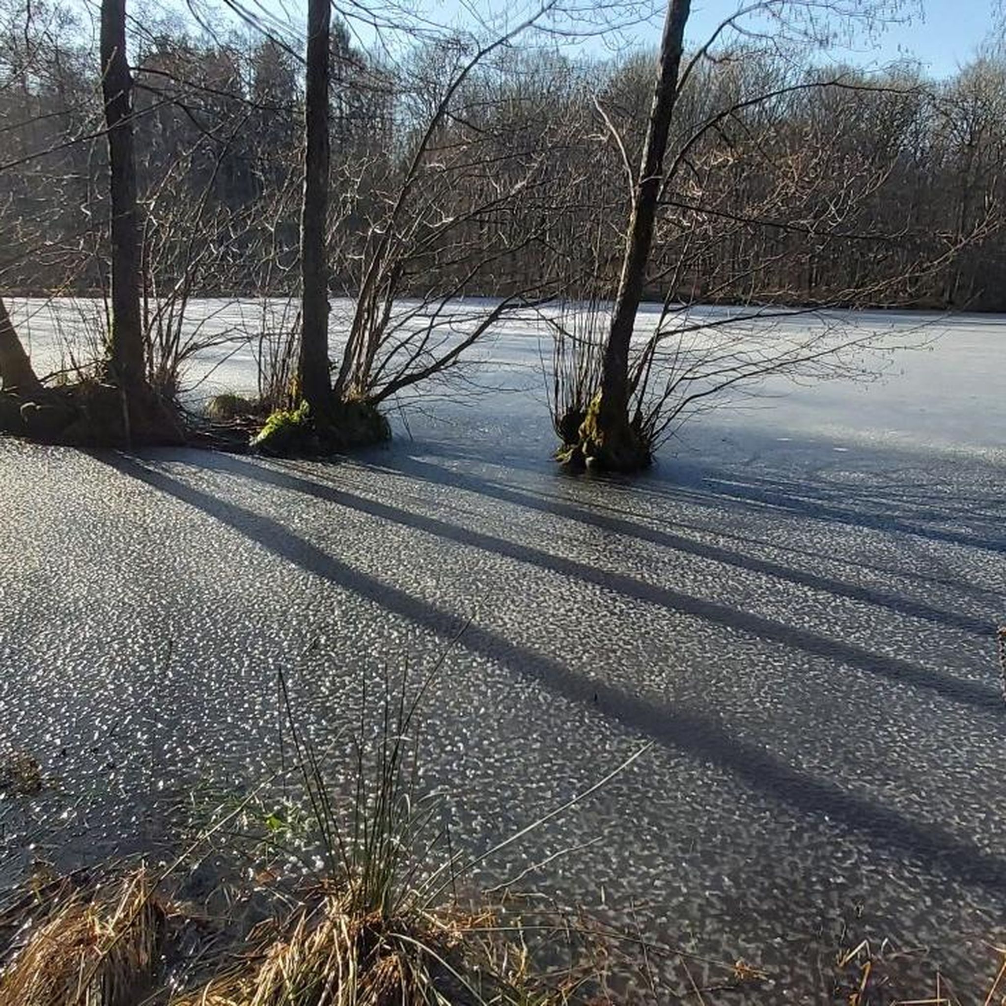

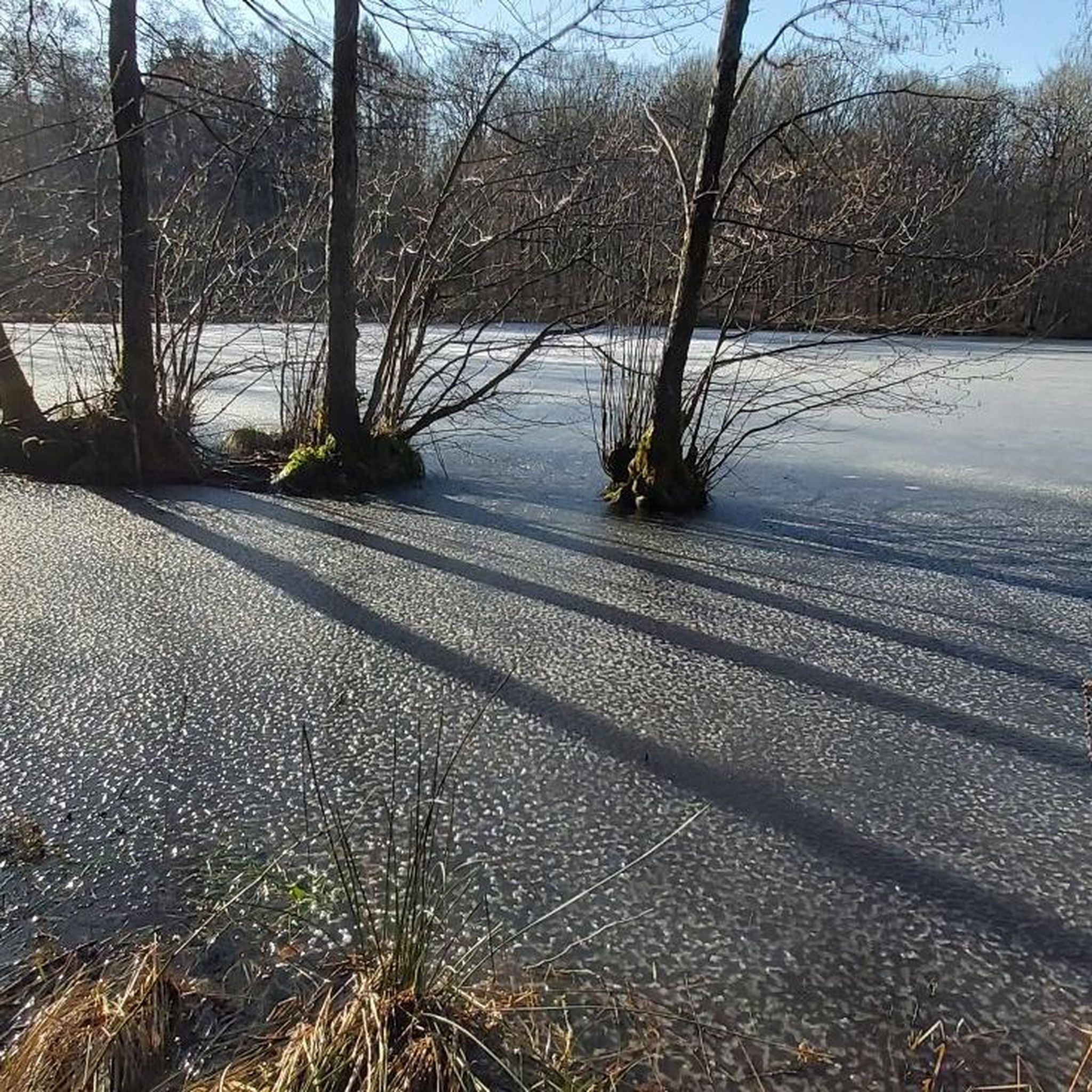
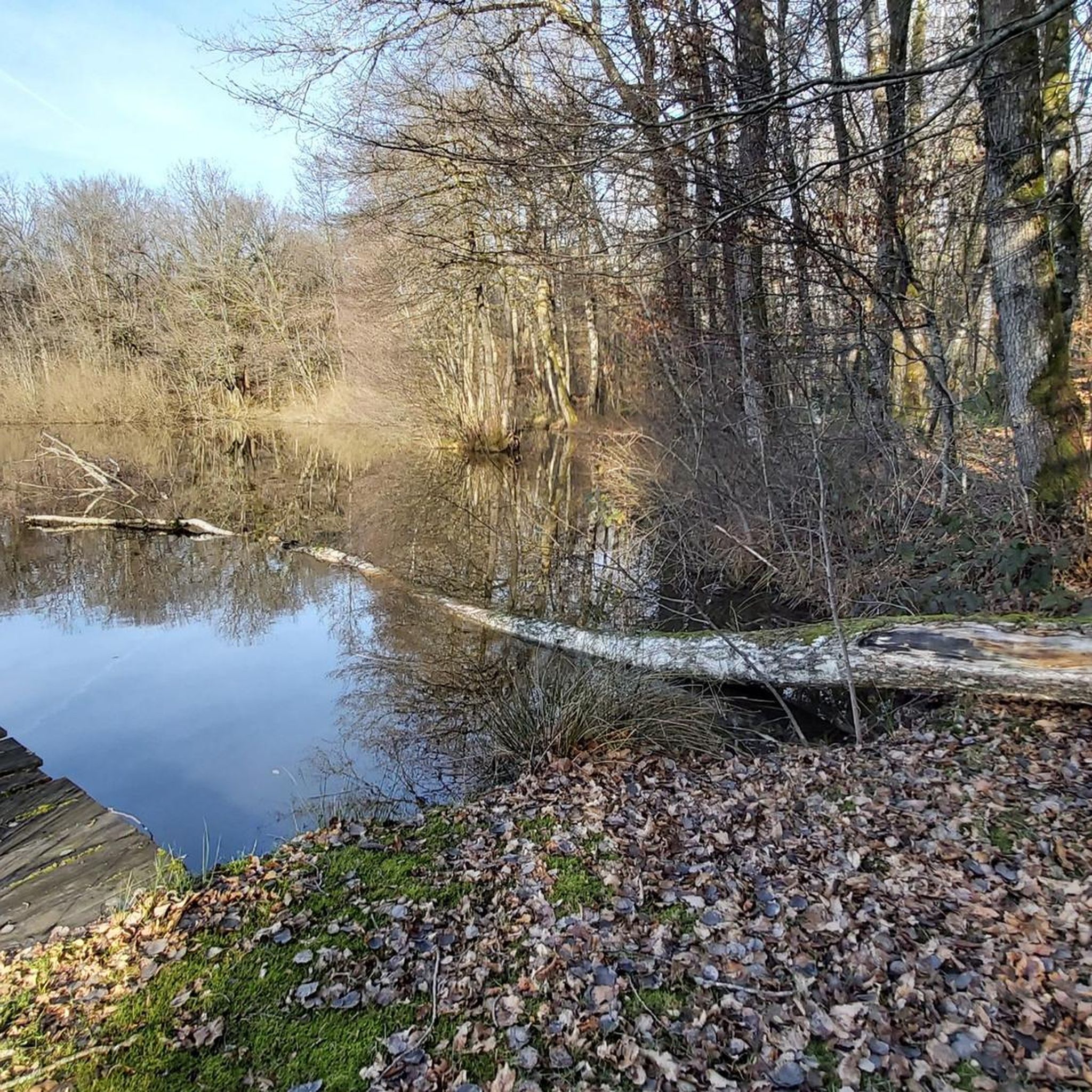

Tips from the Community


Warning: This route crosses militairy terrain. very dangerous to access on some days of the week.
0
0

Pleasant route in the middle of the lakes.
3
0


One of the many French greenways. Previously called Promenade François Mitterrand, this pretty Voie Verte first crosses the center of Belfort from south to north, along the Savoureuse river, then it crosses Valdoie, before crossing a rural and wooded area, up to Malsaucy lake , where a large natural recreation area is located.
4
0
Frequently Asked Questions
What kind of terrain can I expect on hiking trails around Éloie?
Hiking around Éloie offers a diverse landscape characterized by numerous ponds, extensive forests, and gently rolling terrain. You'll find paths that wind through natural areas and some with historical interest, such as those around former military zones. The trails generally feature relatively low elevation gains, making them accessible for various skill levels.
Are there many easy hiking options suitable for beginners or casual walkers?
Yes, Éloie offers a good selection of easy hikes. For example, the Boardwalk at Étang des Forges – Forges Pond loop from Offemont is an easy 3.2-mile trail that takes just over an hour to complete, featuring a scenic boardwalk around the pond.
What are some popular circular hiking routes in the Éloie area?
Many popular routes around Éloie are circular, allowing you to start and end in the same location. Besides the Forges Pond loop, another favorite is the Malsaucy cycling link – Véronne Pond loop from Valdoie, a moderate 6.6-mile path offering a pleasant circuit around Véronne Pond.
What do other hikers say about the trails in Éloie?
The routes in Éloie are highly rated by the komoot community, with an average score of 4.4 stars from over 500 reviews. Hikers often praise the tranquil setting, the varied scenery of ponds and forests, and the generally accessible nature of the paths.
Are there any family-friendly hiking trails in Éloie?
Given the region's gently rolling terrain and relatively low elevation gains, many trails around Éloie are suitable for families. Easy routes like the Boardwalk at Étang des Forges – Forges Pond loop from Offemont are particularly good choices for walks with children.
Can I bring my dog on the hiking trails in Éloie?
While specific regulations can vary, many natural areas in France, especially those outside national parks, are generally dog-friendly, often requiring dogs to be on a leash. The varied terrain of forests and ponds around Éloie provides pleasant environments for walks with your canine companion. Always check local signage for any specific restrictions.
What natural features or landmarks can I see while hiking in Éloie?
The Éloie area is rich in natural features, particularly its numerous ponds and forests. You can explore highlights like Véronne Pond, Étang du Malsaucy, and Étang des Forges. There's also a Viewpoint overlooking Lake Malsaucy offering scenic vistas.
Are there any historical sites or castles to explore near the hiking trails?
Yes, the region around Éloie has several historical sites. You can visit the impressive Citadel of Belfort or the Fort de Vézelois. The Miotte Tower – Fort de la Miotte loop from Vétrigne is a moderate hike that takes you past some of these historical fortifications.
What is the best season for hiking in Éloie?
Éloie offers pleasant hiking opportunities throughout much of the year. Spring brings fresh greenery and blooming flora, while autumn showcases beautiful fall colors in the extensive forests. Summer provides shaded paths, and the relatively low elevation makes it enjoyable. Winter hiking is also possible, though conditions may vary.
How many hiking trails are there in total around Éloie?
There are over 270 hiking routes available around Éloie, catering to a wide range of preferences and skill levels. This includes nearly 100 easy trails, over 140 moderate options, and about 30 more challenging routes.
Are there any trails that pass through former military zones?
Yes, some trails in the Éloie area traverse paths with historical significance, including those around former military zones. An example is the Military Zone – No Entry loop from Éloie, a moderate 5.4-mile trail that offers a unique perspective on the region's past.
Most popular attractions around Éloie

Get inspired with the komoot mobile app


Explore more
Browse the best Hikes in other regions.
