The best walks and hikes around Malleloy
4.6
(595)
3,495
hikers
281
hikes
Hiking around Malleloy traverses a landscape shaped by the confluence of the Moselle and Meurthe rivers, offering varied terrain for outdoor exploration. The region is characterized by deciduous forests, rivers, and wooded hills, providing a blend of serene natural features. Situated near the Lorraine Regional Natural Park, the area features diverse ecosystems and open panoramas of surrounding valleys. This environment supports a network of trails suitable for different fitness levels.
Best hiking trails around Malleloy
- The most popular hiking route…
Last updated: July 2, 2026
4.0
(3)
10
hikers
9.27km
02:32
150m
140m
Moderate hike. Good fitness required. Easily-accessible paths. Suitable for all skill levels.
10
hikers
9.51km
02:38
170m
170m
Moderate hike. Good fitness required. Easily-accessible paths. Suitable for all skill levels.

Sign up for free
7
hikers
7.59km
02:05
120m
120m
Moderate hike. Good fitness required. Easily-accessible paths. Suitable for all skill levels.
5.0
(1)
6
hikers
11.8km
03:17
230m
230m
Moderate hike. Good fitness required. Easily-accessible paths. Suitable for all skill levels.
4
hikers
5.51km
01:33
110m
110m
Easy hike. Great for any fitness level. Easily-accessible paths. Suitable for all skill levels.
Get access to more routes and recommendations from other explorers.
Sign up for free
Already have an account?
Our route recommendations are based on thousands of hikes, rides, and runs completed by other people on komoot.
Start today with a free account
Your next adventure awaits.
Login or Signup



Tips from the Community


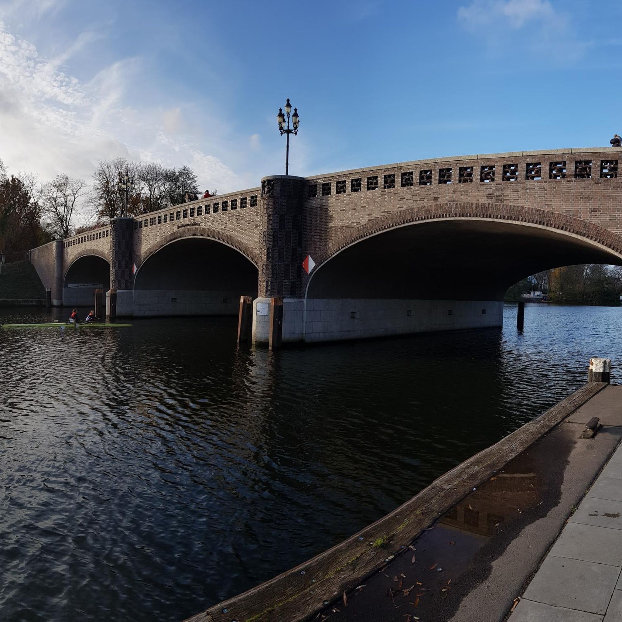
Because of the confluence (lat. condatum) of the Moselle and Meurthe, the name of the village was Condé-sur-Moselle until 1719. She was then named after Earl Custine. During the revolutionary years the place was then called Port-sur-Moselle and from 1800 Custines.
2
0
Frequently Asked Questions
How many hiking trails are available around Malleloy?
There are over 250 hiking routes around Malleloy, catering to various preferences and skill levels. This includes more than 100 easy trails, over 140 moderate routes, and 10 more challenging options.
What kind of landscapes can I expect to see while hiking near Malleloy?
Hiking around Malleloy offers diverse landscapes shaped by the confluence of the Moselle and Meurthe rivers. You'll encounter deciduous forests, serene riverine environments, and wooded hills, with many trails providing open panoramas of the surrounding valleys. The region is also part of the Lorraine Regional Natural Park, known for its biodiversity.
Are there any easy circular walks suitable for a relaxed outing?
Yes, there are several easy circular walks. For example, the Brasserie Le Mani-Gai Tabac loop from Malleloy is an easy 6.3 km trail that can be completed in under two hours, leading through the local countryside.
What do other hikers enjoy most about the trails in Malleloy?
The trails in Malleloy are highly rated by the komoot community, with an average score of 4.6 stars from over 500 reviews. Hikers often praise the varied terrain, from quiet woodlands to open views, and the well-maintained paths that make for enjoyable outdoor exploration.
Are there any longer or more challenging routes for experienced hikers?
Yes, for those seeking a longer hike, the Bois de Faulx – Custines loop from Custines is a moderate 13.2 km trail that takes around 3 hours 35 minutes to complete, offering views of wooded hills and varied landscapes. There are also 10 routes classified as difficult in the region for experienced individuals.
Are there any notable attractions or landmarks to see near the hiking trails?
While hiking, you can explore several interesting landmarks. The region is known for the Confluence of the Moselle and Meurthe rivers. Further afield, you might visit Stanislas Square or Place de la Carrière, both significant historical sites.
Can I access hiking trails in Malleloy using public transport?
Information regarding specific public transport access points directly to trailheads in Malleloy is not readily available. However, many trails start from nearby villages like Custines, which may have better public transport connections. It's advisable to check local transport schedules for routes to these starting points.
Are the hiking trails around Malleloy suitable for families with children?
Yes, with over 100 easy routes, many trails around Malleloy are suitable for families. These shorter, less strenuous paths often wind through forests or along rivers, providing a pleasant experience for all ages. Look for routes with lower elevation gain and shorter distances for family-friendly outings.
What is the best time of year to go hiking in Malleloy?
The region around Malleloy, with its deciduous forests, is particularly beautiful in spring when nature awakens, and in autumn when the foliage displays vibrant colors. Summer offers pleasant conditions for hiking, while winter can provide a different, serene experience, though some paths might be muddy or slippery.
Are dogs allowed on the hiking trails in Malleloy?
Generally, dogs are welcome on hiking trails in natural areas like those around Malleloy, especially if kept on a leash. However, specific regulations can vary, particularly within protected areas like the Lorraine Regional Natural Park. It's always best to observe local signage and ensure your dog is under control to protect wildlife and other hikers.
Where can I find more information about the Lorraine Regional Natural Park?
The region's natural beauty is significantly influenced by its proximity to the Lorraine Regional Natural Park. For more detailed information about the park's features, biodiversity, and conservation efforts, you can visit the official tourism website: tourisme-bassindepontamousson.fr.
Most popular attractions around Malleloy

Get inspired with the komoot mobile app


Explore more
Browse the best Hikes in other regions.
