The best walks and hikes around Langstein
4.5
(940)
4,835
hikers
81
hikes
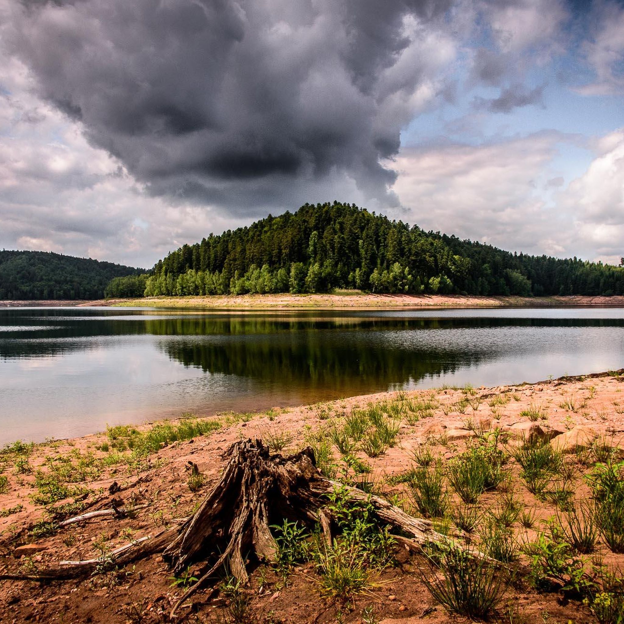
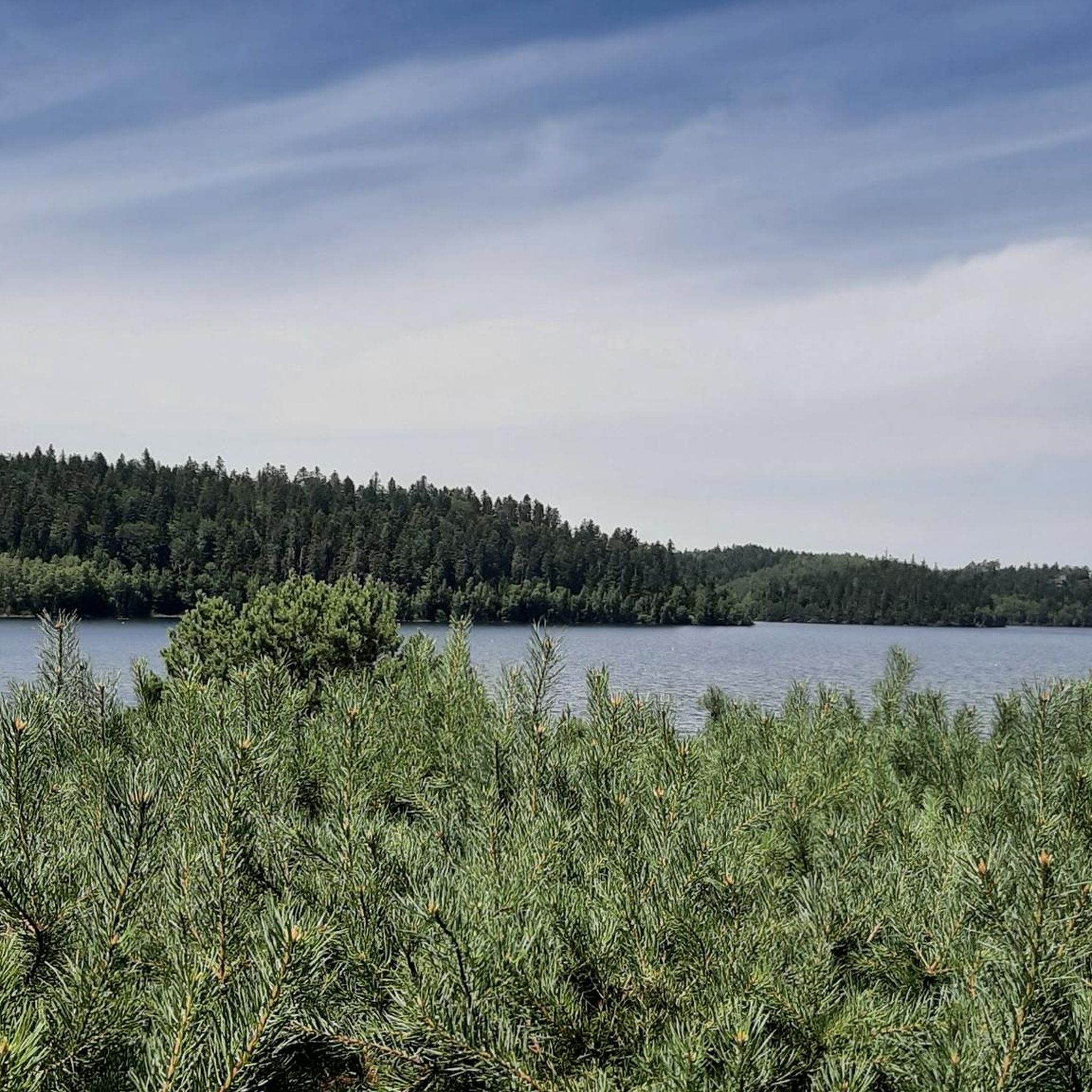
Hiking around Langstein, particularly the area surrounding Lake Pierre-Percée, offers a landscape characterized by expansive lakes, dense woodlands, and rolling hills. The region features well-maintained trails that provide views of the water and forested terrain. Hikers can expect moderate elevation changes, making it suitable for various fitness levels. This area is defined by its natural beauty and opportunities for lakeside exploration.
Best hiking trails around Langstein
- The most popular hiking route is Tour of Lake Pierre-Percée Trail, a 8.0…
Last updated: October 10, 2026
4.7
(213)
1,052
hikers
12.9km
03:38
270m
270m
Moderate hike. Good fitness required. Easily-accessible paths. Suitable for all skill levels.
4.5
(22)
69
hikers
4.92km
01:28
150m
150m
Easy hike. Great for any fitness level. Easily-accessible paths. Suitable for all skill levels.

4.6
(47)
263
hikers
9.04km
02:41
260m
260m
Moderate hike. Good fitness required. Easily-accessible paths. Suitable for all skill levels.
4.7
(182)
848
hikers
10.5km
02:56
210m
210m
Moderate hike. Good fitness required. Easily-accessible paths. Suitable for all skill levels.
4.6
(37)
176
hikers
8.93km
02:37
230m
230m
Moderate hike. Good fitness required. Easily-accessible paths. Suitable for all skill levels.
Get access to more routes and recommendations from other explorers.
Already have an account?
Our route recommendations are based on thousands of hikes, rides, and runs completed by other people on komoot.
Start today with a free account
Your next adventure awaits.

Other adventures around Langstein

Tips from the Community

The cave served as an emergency track
4
0
A church in the village style.
4
0
What a pleasure to wander along the lake in a peaceful place.
4
0
A nice little village in an idyllic region.
4
0


Very beautiful path through the forest with exciting rock formations.
1
0

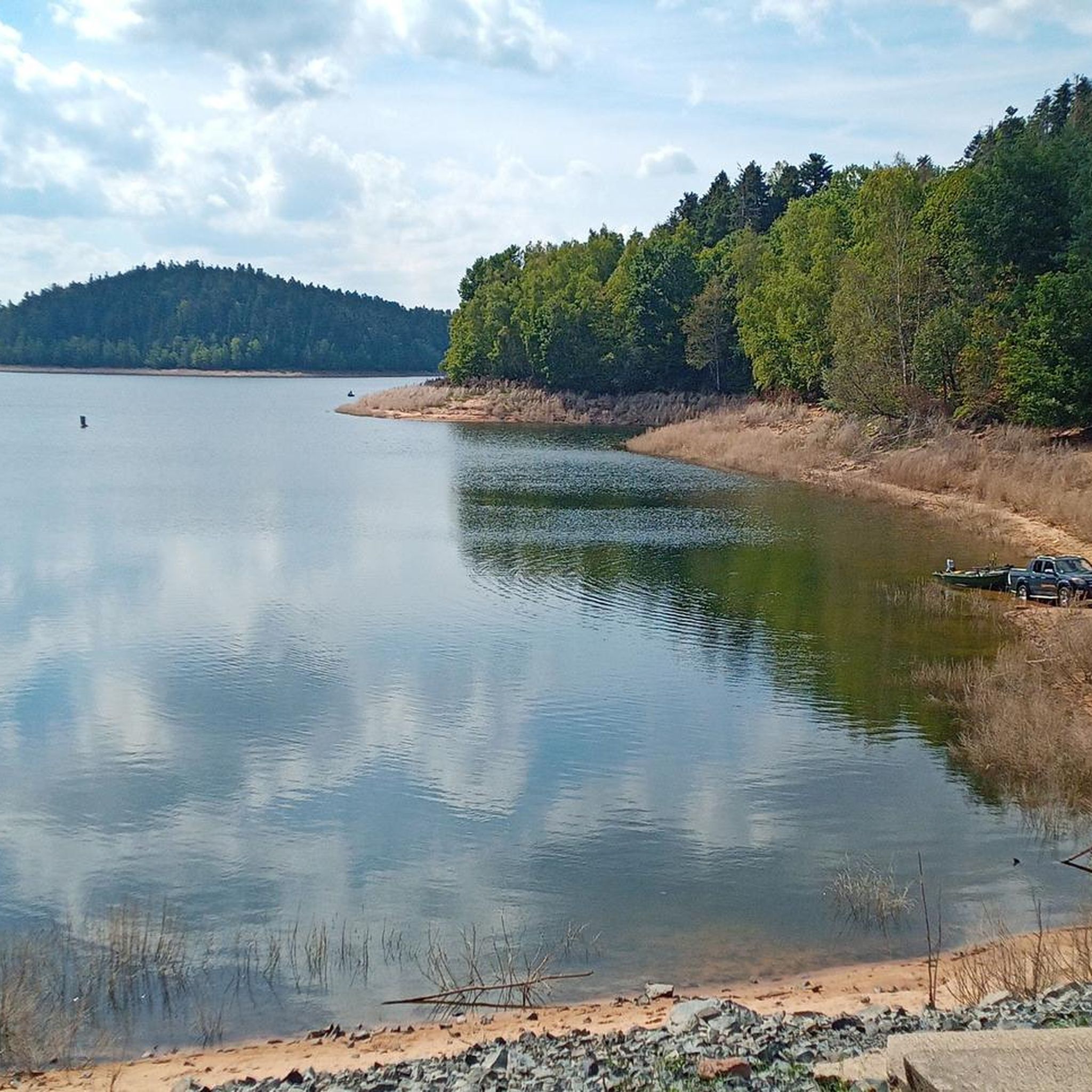
Lac de la Plaine is a picturesque lake in the Vosges, located near Celles-sur-Plaine, near the larger Lac de Pierre-Percée. The lake is an artificial water reservoir of about 0.5 million m³ and serves as a supply basin for the reservoir above.
1
0
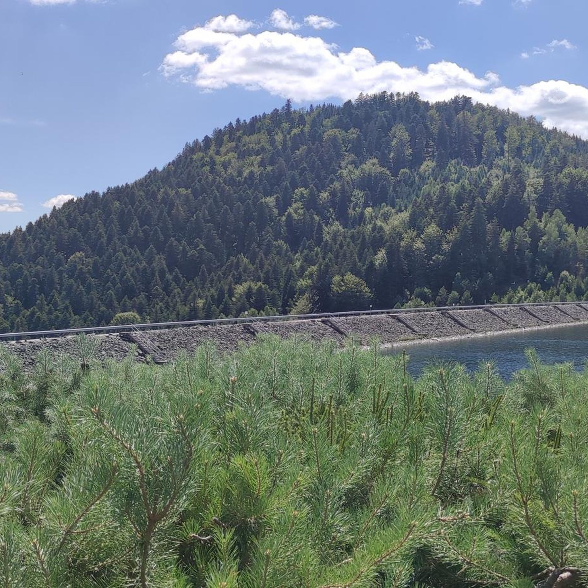
This impressive dam, located in the Vosges, forms an artificial water reservoir together with the Lac de Pierre-Percée. The dam is 69 metres high and 330 metres long, built with a clay core and lined with volcanic rock. It plays an important role in water management and energy production via an underground water connection with the Lac de la Plaine. The surrounding area offers beautiful views and is ideal for hiking along rocky paths, forests and viewpoints over the lake.
7
0
Frequently Asked Questions
What kind of terrain can I expect when hiking around Langstein?
Hiking around Langstein, particularly near Lake Pierre-Percée, features a diverse landscape of expansive lakes, dense woodlands, and rolling hills. Trails often provide continuous views of the water and forested terrain. You'll encounter moderate elevation changes, making it suitable for various fitness levels.
Are there any easy hiking trails suitable for beginners or families in Langstein?
Yes, Langstein offers several easy trails. For example, the La grotte des Poilus — loop from the col de la Chapelotte is an easy 3.1-mile (4.9 km) route that takes about 1 hour 28 minutes, leading through historical sites and forest. Another easy option is the Lake Pierre-Percée – Vieux-Pré Dam loop from Pierre-Percée, a 3.8-mile (6.1 km) path.
What are some natural landmarks or viewpoints to discover along the trails?
The region is rich in natural beauty. You can find impressive viewpoints like Rambiroche and Raven Rock, offering stunning vistas of the lake and surrounding forests. Other notable natural monuments include the Pain de Sucre Rock Formation and the Roches de Lanceux.
Can I find circular hiking routes around Langstein?
Absolutely. Many trails in Langstein are designed as loops, allowing you to start and end at the same point. A popular choice is the Lake Pierre-Percée – Lake Pierre-Percée loop from Pierre-Percée, which offers diverse scenery combining lakeside paths with sections through the woods.
Are there any longer or more challenging hikes for experienced hikers?
While most routes are moderate, the area does offer longer options. The Tour of Lake Pierre-Percée Trail is a moderate 8.0-mile (12.9 km) route that takes around 3 hours 37 minutes, providing a good challenge with continuous lake views. There are also 11 routes classified as difficult in the broader Langstein area for those seeking more strenuous adventures.
What do other hikers say about the trails in Langstein?
The trails in Langstein are highly rated by the komoot community, with an average score of 4.6 stars from over 600 reviews. Hikers frequently praise the scenic lakes, extensive forests, and well-maintained paths that offer options for different ability levels.
Are there any historical sites or points of interest along the hiking trails?
Yes, the region has historical significance. The La grotte des Poilus — loop from the col de la Chapelotte trail, for instance, leads through historical sites, including the 'Grotte des Poilus' (Cave of the Hairy Ones), which is a poignant reminder of World War I.
What is the best time of year to go hiking in Langstein?
The best time to hike around Langstein is generally from spring through autumn. During these seasons, the weather is pleasant, and the natural beauty of the lakes and forests is at its peak. Spring brings fresh greenery, summer offers warm days for lakeside activities, and autumn provides stunning foliage.
Are dogs allowed on the hiking trails in Langstein?
While specific regulations can vary by trail, generally, dogs are welcome on many hiking trails in the Langstein area, especially if kept on a leash. It's always a good idea to check local signage or specific trail information for any restrictions before heading out with your pet.
How many hiking routes are available in the Langstein area?
There are over 70 hiking routes available in the Langstein area, catering to a wide range of preferences and fitness levels. These include 36 easy, 24 moderate, and 11 difficult trails.
Can I combine hiking with water activities in Langstein?
Absolutely. The presence of Lake Pierre-Percée and other lakes like Lac de la Maix and Lac de la Plaine means you can easily combine your hike with water-based activities. Many trails run along the lake shores, offering opportunities for swimming, picnicking by the water, or simply enjoying the lakeside scenery.
Most popular routes around Langstein
Most popular attractions around Langstein

Get inspired with the komoot mobile app


Explore more
Browse the best Hikes in other regions.
