The best walks and hikes around Saint-Laurent-De-Cognac
4.5
(118)
773
hikers
106
hikes
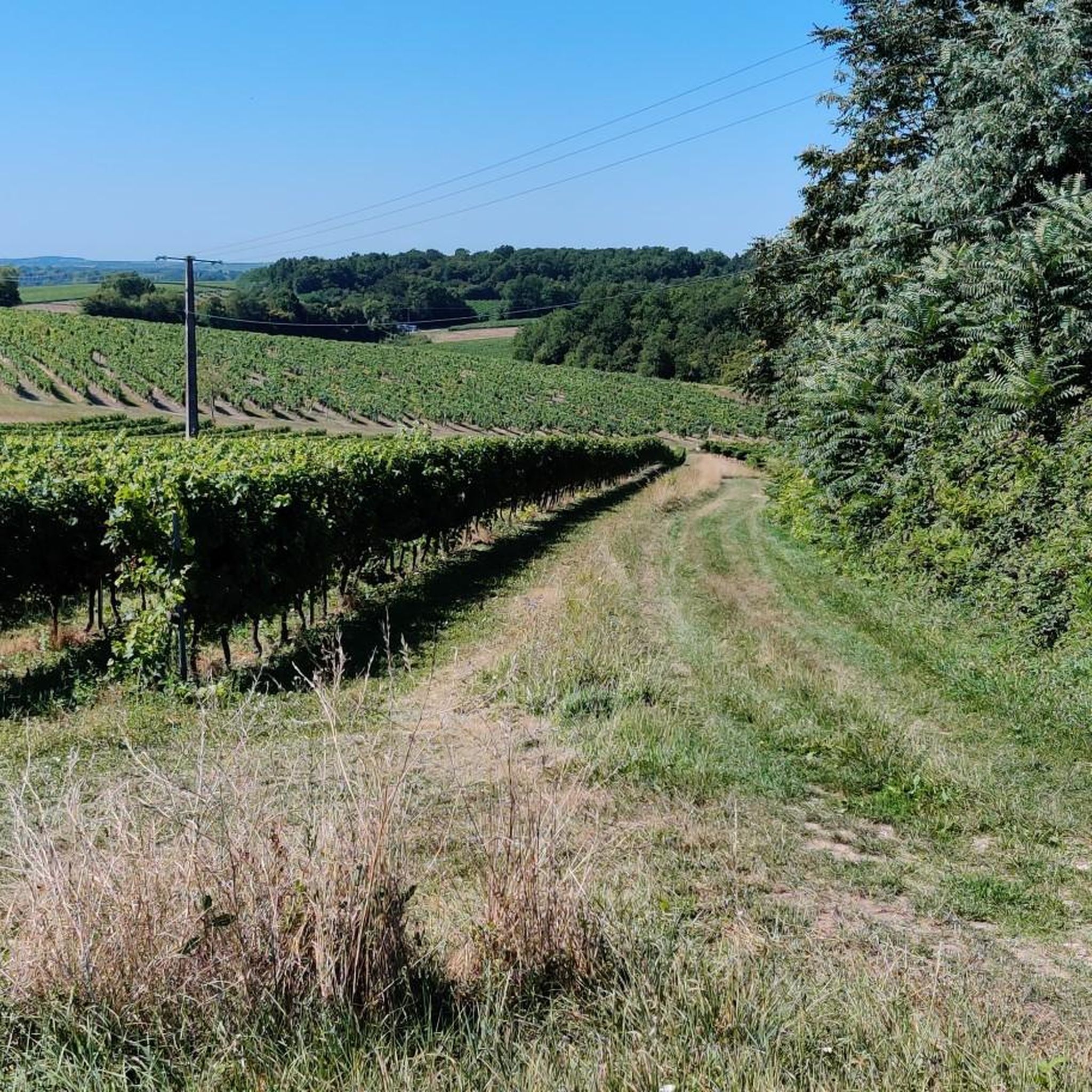
Hiking trails around Saint-Laurent-De-Cognac traverse a landscape characterized by gentle rolling hills, expansive vineyards, and tranquil river valleys. The region offers a network of paths that wind through rural countryside, connecting small villages and historical points of interest. These routes provide opportunities to explore the agricultural heartland and natural beauty of the area. The terrain is generally accessible, making it suitable for various hiking abilities.
Best hiking trails around Saint-Laurent-De-Cognac
- The most popular hiking route is Three Villages Trail,…
Last updated: July 21, 2026
5.0
(1)
3
hikers
18.7km
04:57
180m
180m
Hike the moderate 11.6-mile Saint-Laurent-de-Cognac loop through vineyards and woodlands, featuring the historic Pont des Gaulois.
5.0
(2)
9
hikers
9.14km
02:26
90m
90m
Moderate hike. Good fitness required. Easily-accessible paths. Suitable for all skill levels.

Sign up for free
2
hikers
11.3km
03:02
130m
130m
Moderate hike. Good fitness required. Easily-accessible paths. Suitable for all skill levels.
4.0
(2)
9
hikers
13.5km
03:42
200m
200m
Moderate hike. Good fitness required. Easily-accessible paths. Suitable for all skill levels.
3.0
(1)
7
hikers
12.7km
03:29
200m
200m
Moderate hike. Good fitness required. Easily-accessible paths. Suitable for all skill levels.
Get access to more routes and recommendations from other explorers.
Sign up for free
Already have an account?
Our route recommendations are based on thousands of hikes, rides, and runs completed by other people on komoot.
Start today with a free account
Your next adventure awaits.
Login or Signup


Tips from the Community

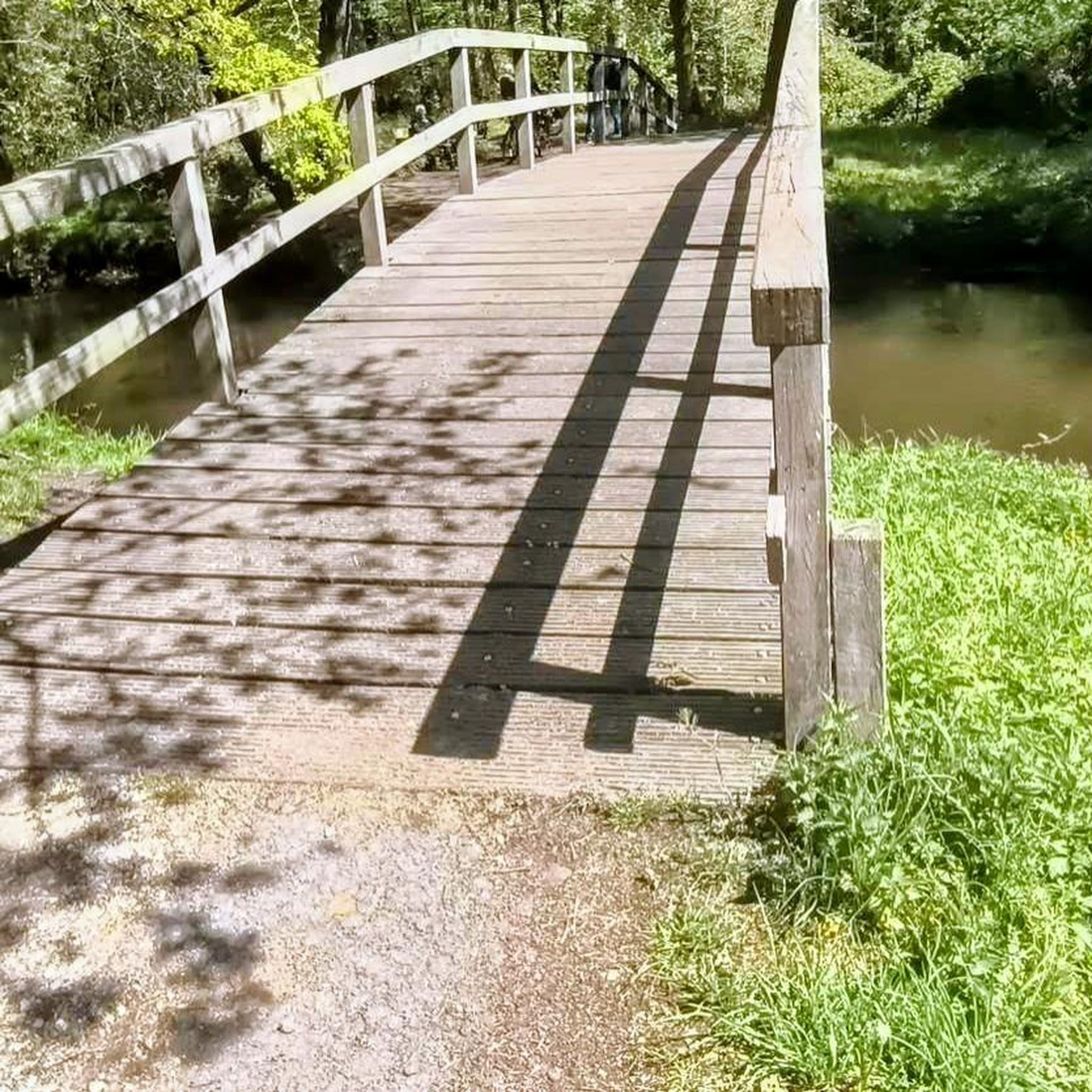
Take a closer look at the rocks to see the location of a Gallic medieval bridge.
2
0


Le lieu, sur un promontoire dominant le Ris-Bellot, un affluent de l'Antenne était proche de la voie romaine Saintes-Lyon dite Chemin des Romains ou Chemin chaussé. La paroisse "Saint-Andrea de Combis' est signalée dans les textes anciens. Un sanctuaire précéda l'église (fin 12e siècle) puis l'implantation d'un prieuré de l'ordre de Saint-Augustin cité au 14e siècle. L'église Saint-André faisait partie d'un important prieuré qui a existé jusqu'à la Révolution. Ce prieuré-cure dépendait de Saint-Vivien de Saintes. Les bâtiments jouxtaient l'église qui fut exhaussée pour créer un appartement au-dessus du choeur. Les religieux restèrent dans ces lieux jusqu'au 18e siècle. C'est une église romane à un vaisseau, à nef voûtée en berceau brisé et chœur voûté en plein-cintre. Le chevet est adjacent aux bâtiments de l'ancien prieuré, devenu un temps l'école. Le clocher de plan carré, accolé au sud de l'église, peut dater du 15e siècle. La cloche daterait du XIIe siècle. La sacristie qui suit à l'est porte la date de 1685. Restaurée en 1784 et au 19e siècle, l'église fut ensuite refaite à l'intérieur en 1910-1911 : parois, voûtes et plâtre. Une simple nef de plan allongé se terminait par une abside. Cette dernière garde quelques éléments romans occultés par les bâtiments de l'ancien prieuré. La nef est couverte d'un berceau brisé en briques. La travée sous clocher est sur croisée d'ogives. Le chœur se termine par un cul de four. Il est précédé de colonnes engagées au décor roman. Le retable en bois tourné mouluré date du XIXe siècle. Les tableaux sont de la même époque. Le portail ouest est à trois voussures, les deux dernières étant sculptées de losanges et de pointes de diamant. Un enfeu a été pratiqué à gauche du portail. Deux statues encadrent la baie de la façade. La façade occidentale, datant du XIIe siècle fait l’objet d’une inscription au titre des monuments historiques depuis le 5 décembre 1991. Elle comporte un portail, une fenêtre et une corniche avec des modillons sculptés. Lors de la rénovation de 2002 ce sont les visages du maire de Louzac et du maire adjoint de Saint-André qui ont servi de modèles. Un petit bijou d'histoire et de mutation historique dans la destination des lieux.
0
0
Frequently Asked Questions
How many hiking trails are available around Saint-Laurent-De-Cognac?
There are over 100 hiking trails around Saint-Laurent-De-Cognac, offering a wide range of options for exploring the region's vineyards, gentle hills, and rural countryside.
Are there easy hiking trails suitable for beginners or families?
Yes, nearly half of the trails around Saint-Laurent-De-Cognac are rated as easy, making them ideal for beginners or families. These routes typically feature gentle terrain through vineyards and rural paths, providing an accessible way to enjoy the outdoors.
What kind of terrain can I expect on hikes in Saint-Laurent-De-Cognac?
The terrain around Saint-Laurent-De-Cognac is characterized by gentle rolling hills, expansive vineyards, and tranquil river valleys. You'll mostly find paths winding through rural countryside, connecting small villages and historical points, generally making for accessible and pleasant walking.
Are there any circular walks in the area?
Yes, many routes in the region are circular. For example, the Richemont Crouin loop from Richemont is a moderate 6.0-mile (9.6 km) path exploring the countryside, and the Pont des Gaulois – Moulin de Saint-Laurent loop from Louzac-Saint-André is another popular circular option.
What are some interesting places to see along the hiking trails?
The region offers several historical and cultural points of interest. You might encounter sites like the Abbaye de Fontdouce, the Saint-Césaire Church, or the Gademoulin Castle in Gensac-la-Pallue, which add historical context to your walk.
Are the hiking trails in Saint-Laurent-De-Cognac dog-friendly?
Most rural paths and trails in the Saint-Laurent-De-Cognac area are generally dog-friendly, especially if your dog is well-behaved and kept on a leash. Always be mindful of agricultural land and livestock, and ensure you clean up after your pet.
What is the typical duration of hikes in this region?
Hikes in Saint-Laurent-De-Cognac vary in length. Many moderate trails, like the Three Villages Trail (11.6 miles / 18.7 km), can take around 5 hours, while shorter loops such as the Pont des Gaulois – Moulin de Saint-Laurent loop (7.0 miles / 11.3 km) can be completed in about 3 hours.
What do other hikers say about the trails in Saint-Laurent-De-Cognac?
The trails are highly rated by the komoot community, with an average score of 4.5 stars from over 80 reviews. Hikers often praise the tranquil rural scenery, the well-maintained paths through vineyards, and the charm of connecting small villages.
Are there any trails that offer good viewpoints?
While Saint-Laurent-De-Cognac is known for its gentle hills rather than dramatic peaks, many trails offer pleasant open views across the expansive vineyards and rural landscapes. The slight elevation changes provide varied perspectives of the agricultural heartland.
Is there parking available at the trailheads?
Many trailheads in and around Saint-Laurent-De-Cognac, especially those starting from villages or popular points, typically have designated parking areas. It's advisable to check specific route details on komoot for information on parking availability at your chosen starting point.
What is the best time of year to go hiking in Saint-Laurent-De-Cognac?
Spring and autumn are generally the best times for hiking in Saint-Laurent-De-Cognac. Spring offers pleasant temperatures and blooming landscapes, while autumn provides mild weather and beautiful vineyard colors. Summer can be warm, so early morning or late afternoon hikes are recommended.
Can I find places to eat or drink near the hiking trails?
Given the region's focus on small villages and rural areas, you'll often find local establishments like small restaurants or cafés in the villages that many trails pass through or start from. These can be great spots to refuel after your hike.
Most popular routes around Saint-Laurent-De-Cognac
Most popular attractions around Saint-Laurent-De-Cognac

Get inspired with the komoot mobile app


Explore more
Browse the best Hikes in other regions.
