The best walks and hikes around Montcel
4.6
(321)
2,307
hikers
93
hikes
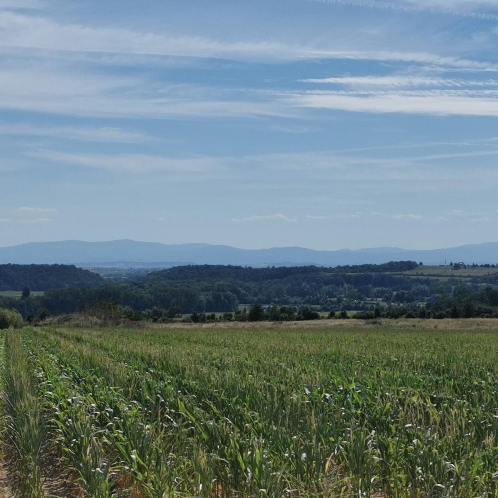
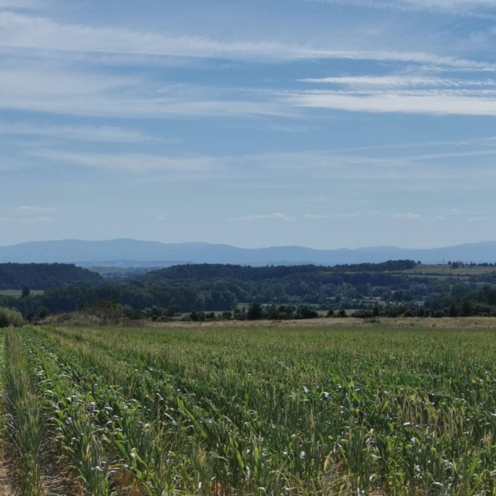
Hiking around Montcel offers a diverse landscape characterized by rolling hills, dense woodlands, and serene water features. The region provides a mix of terrain, from gentle paths suitable for leisurely walks to more challenging ascents. Elevation changes are present, contributing to varied views and physical engagement across the trails.
Best hiking trails around Montcel
- The most popular hiking route is Barrage de la Sep – View of the Lake loop from Barrage de la Sep, a 4.4 miles (7.0…
Last updated: July 3, 2026
4.8
(9)
66
hikers
7.01km
01:55
110m
110m
Easy hike. Great for any fitness level. Easily-accessible paths. Suitable for all skill levels.
5.0
(2)
19
hikers
14.1km
04:04
360m
360m
Moderate hike. Good fitness required. Easily-accessible paths. Suitable for all skill levels.

Sign up for free
5.0
(2)
19
hikers
Moderate hike. Good fitness required. Easily-accessible paths. Suitable for all skill levels.
12
hikers
14.7km
04:08
310m
300m
Moderate hike. Good fitness required. Easily-accessible paths. Suitable for all skill levels.
5.0
(1)
8
hikers
28.7km
07:55
480m
480m
Hard hike. Very good fitness required. Easily-accessible paths. Suitable for all skill levels.
Get access to more routes and recommendations from other explorers.
Sign up for free
Already have an account?
Our route recommendations are based on thousands of hikes, rides, and runs completed by other people on komoot.
Start today with a free account
Your next adventure awaits.
Login or Signup

Tips from the Community

The Montcel bridges and the Gaudon bridge, spanning the Morge, were once toll bridges, established by royal decree on August 15, 1778. At that time, any crossing was subject to a passage fee, the rate of which varied depending on the type of vehicle and the load carried. For example, a four-wheeled cart loaded with firewood had to pay a tax of four deniers. These infrastructures, essential for local trade and exchange, still bear witness today to the economic and social history of Montcel during the Ancien Régime.
0
0

There is a lovely little path that leads to this viewpoint and further around the lake.
0
0

The Sep dam is a 41-metre high structure. It is possible to admire its entire height since a road provides access to it.
2
0

Great for a novice hiker, but take extra water with you when there is a lot of sun
0
0

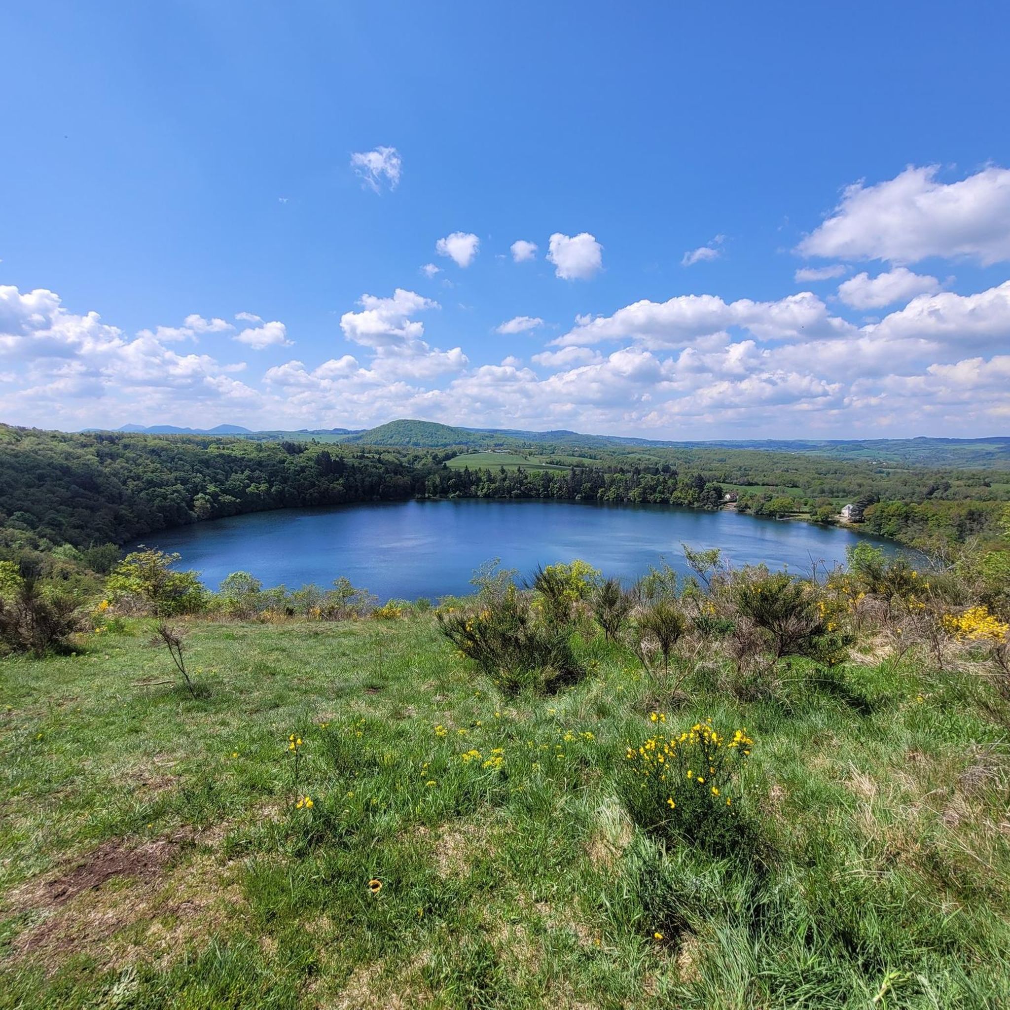
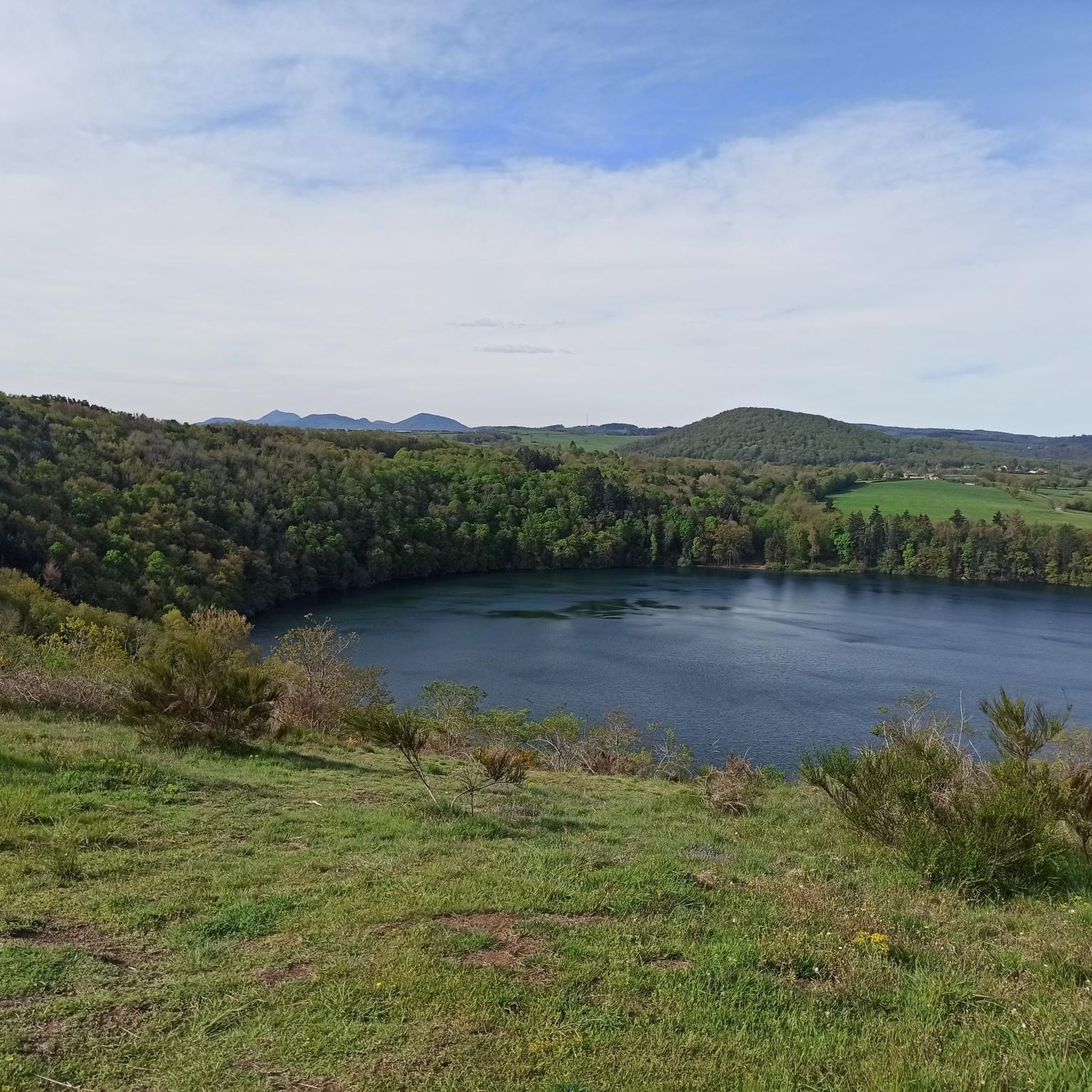
Taking a little height on the Côte du Gour allows you to admire this lake of volcanic origin in the north of the Puys chain.
0
0

Crater become a lake with a depth of 66 m
0
0
Crater that became a lake
0
0

Magnificent point of view. It is said that a village is at the bottom of the lake. Personally not tested the bottom of the lake :-)
0
0
Frequently Asked Questions
How many hiking trails are available around Montcel?
Montcel offers a wide variety of hiking experiences, with over 80 distinct trails. These range from easy strolls to more challenging long-distance routes, ensuring options for all fitness levels.
Are there any easy hiking routes suitable for beginners or families?
Yes, Montcel has about 40 easy routes perfect for beginners or families. A great option is the Barrage de la Sep – View of the Lake loop from Barrage de la Sep, which is 4.4 miles (7.0 km) long and offers pleasant views of the lake.
What are some longer distance hiking options in the Montcel area?
For those seeking a longer challenge, Montcel provides several options. The View of Gour de Tazenat loop from Combronde is a difficult 17.8 miles (28.7 km) trail with significant elevation gain, offering diverse terrain. Another moderate option is the Priory of Saint-Hilaire loop from Montcel, spanning 8.7 miles (14.1 km).
Are there hiking trails around Montcel that offer scenic viewpoints?
Absolutely. The region is known for its varied landscapes, and many trails lead to rewarding vistas. The Gour de Tazenat Viewpoint / Chaîne des Puys is a notable highlight, offering expansive views of the volcanic landscape. The Barrage de la Sep – View of the Lake loop from Barrage de la Sep also provides beautiful lake views.
Can I find circular hiking routes in Montcel?
Yes, many of the trails around Montcel are designed as loops, allowing you to start and end at the same point. Examples include the Barrage de la Sep – View of the Lake loop from Barrage de la Sep and the Priory of Saint-Hilaire loop from Montcel, both offering convenient circular paths.
What kind of natural attractions or landmarks can I explore while hiking?
Montcel's trails often pass by interesting natural and historical sites. You can discover the Ruins of the Priory of Saint-Coust, enjoy the serene Étang de la Faye, or take in the geological wonder of the Gour de Tazenat Viewpoint, a volcanic lake.
Is Montcel a dog-friendly hiking destination?
Generally, Montcel's natural areas are welcoming to dogs, provided they are kept on a leash to protect wildlife and ensure the safety of other hikers. Always check local signage for specific regulations on individual trails or protected areas.
What is the best time of year to go hiking in Montcel?
The spring and autumn months typically offer the most pleasant hiking conditions in Montcel, with mild temperatures and vibrant natural scenery. Summer can also be enjoyable, especially in forested areas, but it's advisable to start early to avoid the midday heat. Winter hiking is possible, though some trails may be more challenging due to weather conditions.
Are there options for parking near the hiking trails in Montcel?
Most trailheads and popular starting points in and around Montcel offer designated parking areas. It's common to find parking available, especially in rural areas, though it's always good practice to arrive early during peak season to secure a spot.
What do other hikers say about the trails in Montcel?
The hiking trails in Montcel are highly regarded by the komoot community, holding an average rating of 4.6 stars from over 280 reviews. Hikers frequently praise the region's diverse landscapes, from quiet woodlands to serene water features, and the well-maintained paths suitable for various skill levels.
Are there any trails that pass by water features, like lakes or rivers?
Yes, Montcel's landscape includes several water features. The Barrage de la Sep – View of the Lake loop from Barrage de la Sep offers direct views of the lake. Additionally, the Étang de la Faye is a tranquil lake that can be incorporated into various hiking routes.
Most popular attractions around Montcel

Get inspired with the komoot mobile app


Explore more
Browse the best Hikes in other regions.
