The best walks and hikes around Sankt Bernhard
4.6
(448)
2,758
hikers
340
hikes
Hiking around Sankt Bernhard offers a network of trails through varied landscapes. The region features rolling terrain with moderate elevation changes, often leading through forested areas and past historical landmarks. Many routes are circular, providing diverse views of the local countryside. The trails are generally well-maintained, catering to different levels of hiking experience.
Best hiking trails around Sankt Bernhard
- The most popular hiking route is Sentier 14/18 loop from Heidwiller, a 5.1 miles (8.3 km) trail that takes 2…
Last updated: July 5, 2026
4.6
(10)
47
hikers
11.0km
02:58
140m
140m
Moderate hike. Good fitness required. Easily-accessible paths. Suitable for all skill levels.
4.7
(3)
25
hikers
9.61km
02:35
120m
120m
Moderate hike. Good fitness required. Easily-accessible paths. Suitable for all skill levels.

Sign up for free
5.0
(4)
14
hikers
20.5km
05:51
460m
460m
Hard hike. Very good fitness required. Easily-accessible paths. Suitable for all skill levels.
5.0
(1)
12
hikers
10.4km
02:55
200m
200m
Moderate hike. Good fitness required. Easily-accessible paths. Suitable for all skill levels.
5.0
(2)
5
hikers
10.7km
02:46
70m
70m
Moderate hike. Good fitness required. Easily-accessible paths. Suitable for all skill levels.
Get access to more routes and recommendations from other explorers.
Sign up for free
Already have an account?
Our route recommendations are based on thousands of hikes, rides, and runs completed by other people on komoot.
Start today with a free account
Your next adventure awaits.
Login or Signup
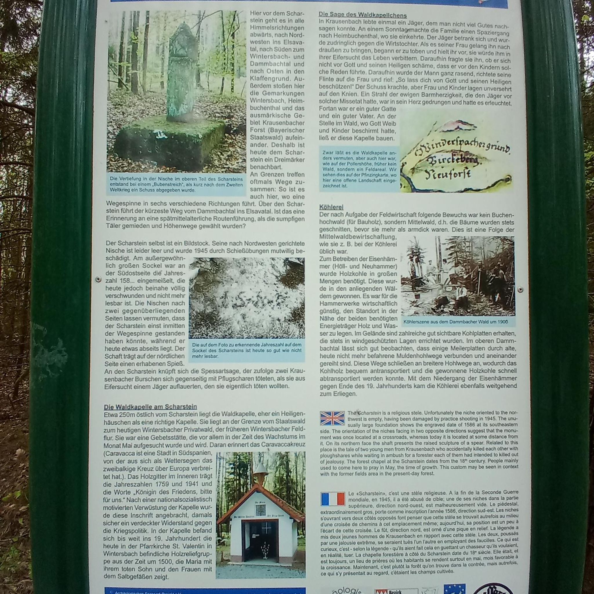
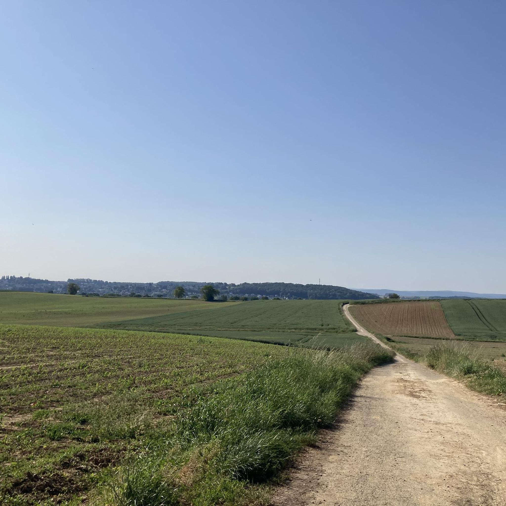
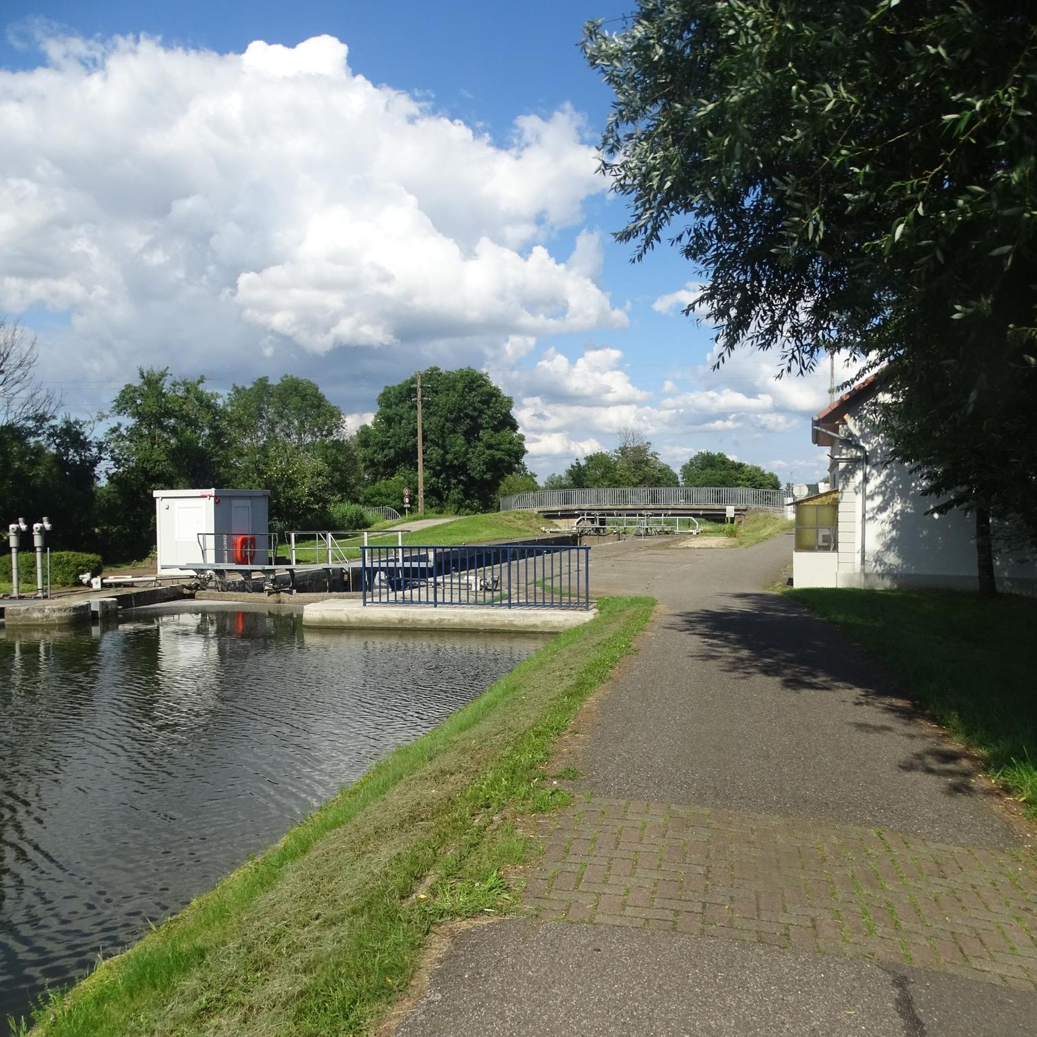
Tips from the Community

The German soldiers who died in the Battle of Mühlhausen in August 1914 are buried there, including the first casualty of World War I. It's a bit off the beaten track and very well maintained.
0
0

Beneath the forest canopy, you can discover numerous traces of bygone times, still visible or legible; only the "barracks" have disappeared. During a guided tour with one of the site's enthusiastic volunteers, you can explore the underground tunnels and discover the organization of this impressive military infrastructure. Of course, you can also visit the surface infrastructure yourself, following the marked route, where the panels provide detailed explanations. An application, "Site du Grand Canon de Zillisheim," is also available for download.
5
0
In 1720, the religious building was recorded as a ruin. Reconstruction work began in 1765. The chapel was destroyed during the Revolution and rebuilt in 1870, expanded in 1925, and the last restoration was carried out in 1998.
5
0
The Illfurth German War Cemetery was established by the French military authorities in April 1920. As a collective cemetery, it housed some of the fallen soldiers from the battles of August 7 and 17, 1914. The transfer of war dead to Illfurth, who had been provisionally buried in 64 municipalities and districts during the war or who had died in French captivity, ended in 1924. Among those reburied was the first German casualty of the 1914-1918 War on the Western Front, Lieutenant Albert Mayer, who fell on August 2, 1914, while on patrol. The first French soldier also lost his life in this battle. Several memorials erected in field cemeteries during the war were also relocated to Illfurth.
8
0

Ammertzwiller is a quiet Alsatian village that is surprisingly convenient for cyclists on the road. There are a few mini markets, restaurants and even a chemist – ideal for stocking up on provisions or taking a break. The village is set in rolling countryside and offers lovely picnic spots overlooking the fields. Information boards in the village tell the story of the local history during the First World War, making this stop not only practical but also meaningful."
8
0

This site is the location of a “KW” cannon of the “Kaiser Wilhelm Geschutze” or “Max le long” type whose mission, during the First World War, was to fire large detonations at Belfort to provide a diversion during attacks. on Verdun and the forts of Vaux and Douaumont.
2
0

In Gildwiller, an unmissable pilgrimage
0
0
Very pretty, extremely well preserved
0
0
Frequently Asked Questions
How many hiking trails are available in Sankt Bernhard?
Sankt Bernhard offers a wide selection of hiking opportunities, with over 330 routes available for exploration. These trails cater to various skill levels, from easy strolls to more challenging treks.
Are there easy hiking trails suitable for beginners or families in Sankt Bernhard?
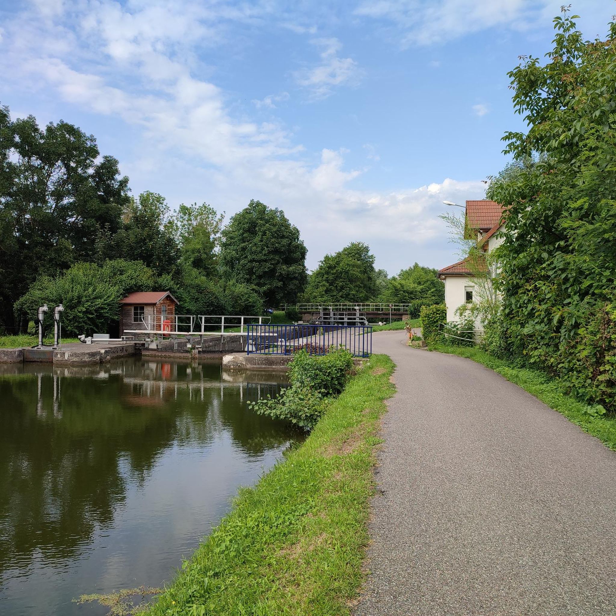
Yes, Sankt Bernhard has a good selection of easy trails. There are over 150 easy routes, perfect for beginners or families looking for a relaxed outdoor experience. While specific family-friendly routes aren't highlighted here, many easy trails are suitable. For a moderate option that's not too strenuous, consider the Illfurth lock – Heidwiller lock loop from Spechbach-le-Bas, which is just over 10 km with minimal elevation gain.
Are there challenging hikes for experienced hikers in Sankt Bernhard?
For those seeking a more demanding adventure, Sankt Bernhard offers several challenging routes. There are 14 difficult trails available. A notable challenging option is the Saint-Brice Chapel – Grand Cannon of Zillisheim loop from Heidwiller, a 20.5 km route with significant elevation changes.
What kind of landscapes can I expect to see while hiking in Sankt Bernhard?
The hiking trails around Sankt Bernhard feature varied landscapes, including rolling terrain, forested areas, and paths that often lead past historical landmarks. Many routes offer diverse views of the local countryside, characterized by well-maintained paths.
Are there circular hiking routes in Sankt Bernhard?
Yes, many of the hiking routes in Sankt Bernhard are circular, providing convenient loop options for hikers. For example, the Notre-Dame du Mont loop from Ammertzwiller is a popular circular trail leading through local landscapes.
What are some interesting landmarks or attractions I can see near the hiking trails?
Around Sankt Bernhard, you can discover several interesting landmarks and natural attractions. Highlights include various lakes such as Lake Michelbach and Riedweiher Pond. Man-made attractions include the Port of Dannemarie, the Zillisheim Drawbridge and Lock No. 35, and the historical Grand Cannon of Zillisheim.
What do other hikers enjoy most about hiking in Sankt Bernhard?
The hiking experience in Sankt Bernhard is highly rated by the komoot community, with an average score of 4.5 stars from over 370 reviews. Hikers often praise the varied terrain, well-maintained paths, and the opportunity to explore both natural beauty and historical sites.
Is Sankt Bernhard suitable for dog-friendly hiking?
While specific dog-friendly regulations can vary by trail, many outdoor areas in Sankt Bernhard are generally welcoming to dogs, especially on leash. It's always recommended to check local signage or specific route details for any restrictions before heading out with your canine companion.
When is the best time of year to go hiking in Sankt Bernhard?
The region's rolling terrain and forested paths make it enjoyable for hiking across multiple seasons. Spring and autumn offer pleasant temperatures and beautiful scenery, while summer provides longer daylight hours. Winter hiking may be possible on some trails, but conditions should be checked for snow or ice.
Is public transport available to access hiking trails in Sankt Bernhard?
Information on specific public transport links directly to trailheads is not detailed here. However, Sankt Bernhard is a regional center, and local transport options may connect to nearby villages or starting points for hikes. It's advisable to check local bus or train schedules for connections to the general area.
Are there parking facilities available near the hiking trailheads?
While specific parking locations are not listed for every trailhead, it is common for popular hiking areas and villages in regions like Sankt Bernhard to have designated parking spaces. It's recommended to research parking options for your chosen starting point before your hike.
Can I find historical sites along the hiking routes in Sankt Bernhard?
Yes, Sankt Bernhard's hiking network often leads through areas rich in history. For instance, the Sentier 14/18 loop from Heidwiller specifically explores historical sites, offering a chance to combine outdoor activity with cultural exploration.
Most popular routes around Sankt Bernhard
Most popular attractions around Sankt Bernhard

Get inspired with the komoot mobile app


Explore more
Browse the best Hikes in other regions.
