Top 9 Mountain Passes around Gilly-Sur-Isère
Best mountain passes around Gilly-Sur-Isère are situated in the Savoie region of France, offering access to diverse alpine terrain. This area serves as a central point for exploring various mountain passes, which connect valleys and provide routes through the French Alps. The landscape features a mix of challenging climbs and scenic routes, appealing to those seeking mountain experiences. It is characterized by its position within the Bauges massif and proximity to other significant mountain ranges.
Best mountain passes around Gilly-Sur-Isère
…Last updated: September 2, 2026
Tamié Pass
Highlight • Mountain Pass
Translated by Google •
Tip by

Orgeval Pass
Highlight • Mountain Pass
Translated by Google •
Tip by

Sign up now to discover places like this
Get recommendations on the best single tracks, peaks, & plenty of other exciting outdoor places.
Sign up for free
Ascent of the Col de l'Arpettaz from Ugine via Mont-Dessous
Highlight (Segment) • Mountain Pass
Translated by Google •
Tip by

Gravel Climb to Col de Chérel Hut
Highlight (Segment) • Climb
Tip by

Col de la Forclaz de Queige
Highlight • Mountain Pass
Translated by Google •
Tip by

Sign up for free to discover even more mountain passes around Gilly-Sur-Isère.
Sign up for free
Already have an account?
Start today with a free account
Your next adventure awaits.
Login or Signup


Tips from the Community

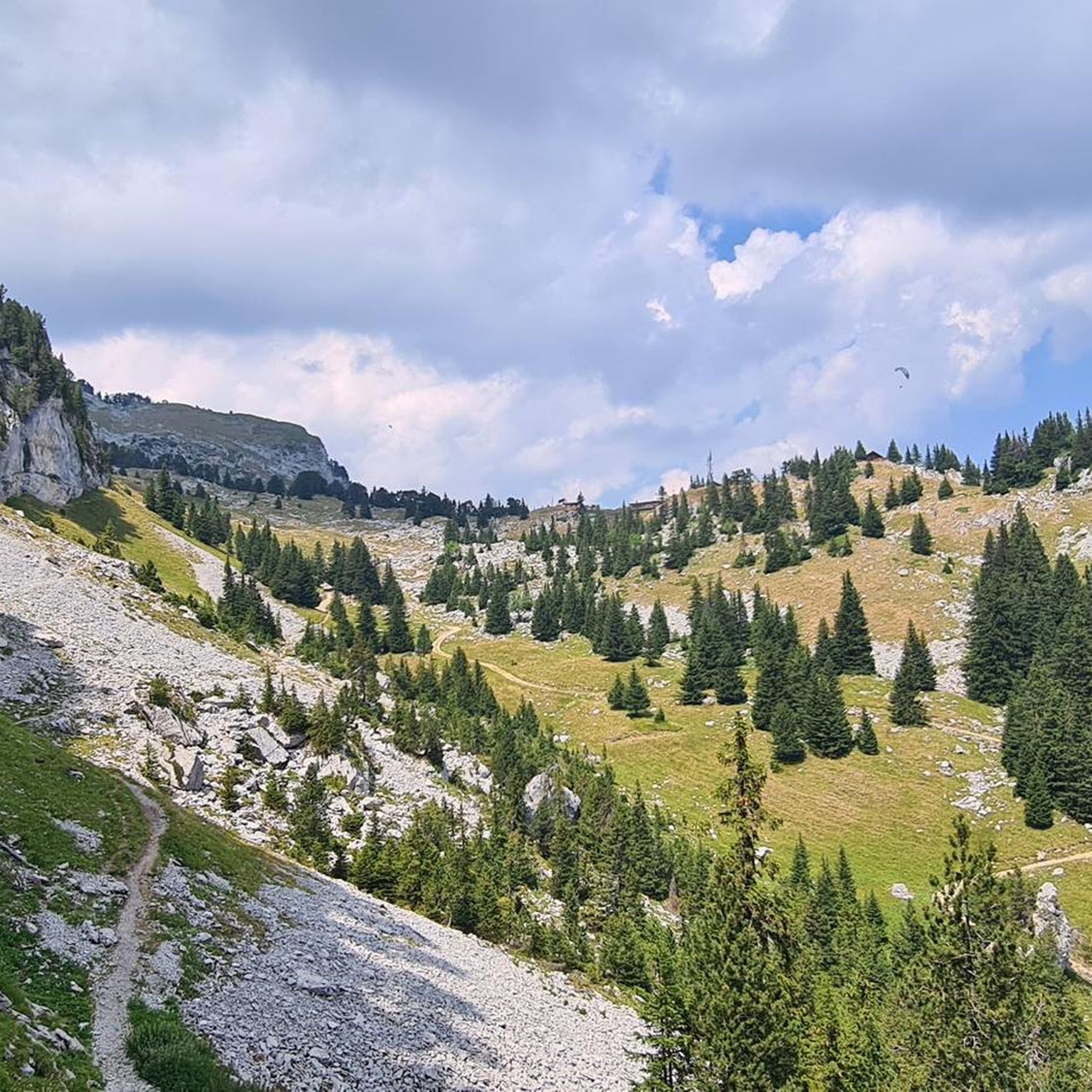
A pass in the heart of the Bauges Massif, the core zone of the nature reserve, with beautiful views, including the Arcalod, the highest peak of the massif, with good chances of spotting marmots below.
0
0

Steady and gradual climb to the Col de Chérel. Easy gravel ride
0
0

A very different route from the eastern slope: numerous hairpin bends, a steep road with poor tarmac, mostly in the forest. Perhaps more fun on the descent: a technical slalom that shakes up both bike and cyclist.
0
0

This 15.5-kilometer, 7.6% variation of the Col de l'Arpettaz is enhanced by the magnificent landscapes of the Aravis mountains. The climb is truly very pleasant.
0
0

This pass will allow you to go more “quickly” from the Beaufortin valley (Queige) to the Val d'Arly (Ugine or l'Île) without passing through Albertville. It is not a very high pass, 871 m, not very long – 6.8 km maximum – but it is a bit steep with a minimum gradient of 7% on average for the South and West-North slopes, 8% for the North slope.
0
0
A hill with a lot of traffic, better on roads that run parallel.
0
0
Very hard climb on a stone path to the Col de Cherèl
0
0

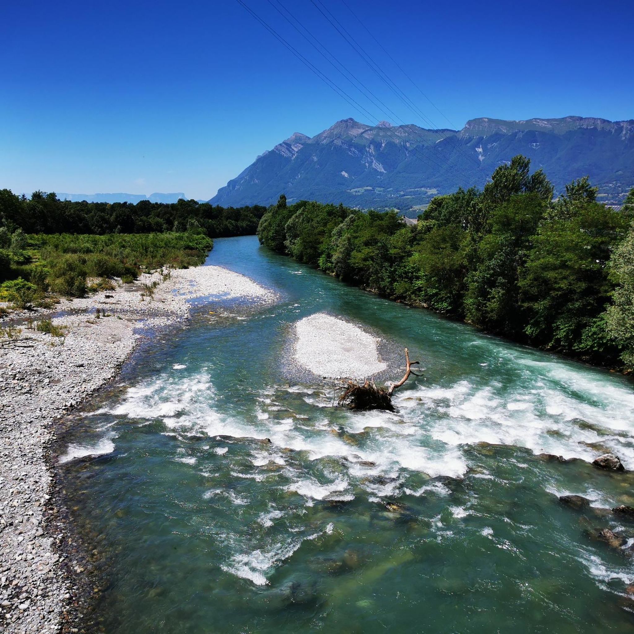
Located at an altitude of 907 meters, this pass is located in the Bauges massif, in the town of Plancherine. It separates the valley of Savoie and Albertville from the Faverges valley and Lake Annecy.
2
0
Frequently Asked Questions
Which mountain passes around Gilly-Sur-Isère offer the most challenging cycling routes?
For a significant cycling challenge, consider the Ascent of the Col de l'Arpettaz from Ugine via Mont-Dessous. This route is a 15.5-kilometer climb with an average gradient of 7.6%, offering magnificent landscapes of the Aravis mountains. Another challenging option is the Col de la Forclaz de Queige, which, despite its moderate altitude of 871 meters, features steep sections with gradients of at least 7% on average.
Are there mountain passes near Gilly-Sur-Isère known for their natural beauty and secluded settings?
Yes, the Col d'Orgeval is a narrow pass situated between mountain pastures on Sambuy and below Arcalod, the highest peak in the Massif des Bauges. Its rugged and natural setting makes it ideal for those seeking a more secluded mountain experience.
What are the best times of year to visit the mountain passes around Gilly-Sur-Isère?
The mountain passes are generally best visited from late spring through early autumn (May to October). During these months, the weather is typically more stable, and the passes are clear of snow, making them ideal for cycling, hiking, and scenic drives. Some higher passes, like the Col de l'Iseran, are only accessible in summer due to heavy snowfall.
What kind of outdoor activities can I do near the mountain passes around Gilly-Sur-Isère?
The region offers a variety of outdoor activities. You can find numerous hiking trails, including moderate options like the 'Tamié Pass – Fort de Tamié loop' or the 'View of Mont Blanc – Tamié Pass loop'. For cycling, there are routes such as the 'Queige – L'Art Lie loop' or the 'Fort du Mont – Cyclists' Pass loop'. Explore more options on the hiking guide and cycling guide for Gilly-Sur-Isère.
Are there any mountain passes that connect different valleys or regions near Gilly-Sur-Isère?
The Tamié Pass is a strategic link, connecting the valley of Savoie and Albertville with the Faverges valley and Lake Annecy. Similarly, the Col de la Forclaz de Queige provides a scenic alternative route between the Beaufortin valley (Queige) and the Val d'Arly (Ugine or l'Île), bypassing Albertville.
What are some notable viewpoints or scenic features found at these mountain passes?
Many passes offer stunning vistas. The Ascent of the Col de l'Arpettaz from Ugine via Mont-Dessous provides magnificent landscapes of the Aravis mountains. While further afield, the Col de l'Iseran is renowned for its spectacular panoramic views and access to the Pisaillas glacier, making it a significant destination for serious cyclists and tourists traversing the French Alps.
Can I find gravel cycling routes or climbs near Gilly-Sur-Isère's mountain passes?
Yes, the Gravel Climb to Col de Chérel Hut offers an incredibly well-graded gravel climb with switchbacks. It's described as a steady and gradual ride to the hut at the top, making it a rewarding experience for gravel cyclists.
Are there any mountain passes that are part of longer, famous routes?
While not directly adjacent to Gilly-Sur-Isère, the Col de l'Iseran, the highest paved mountain pass in the Alps, is a significant part of the 'Route des Grandes Alpes'. This route is famous among cyclists and motorists for its breathtaking scenery and challenging ascents across the French Alps.
What do visitors appreciate most about the mountain passes around Gilly-Sur-Isère?
Visitors frequently appreciate the diverse alpine terrain, ranging from challenging climbs to scenic routes. The area is valued for its natural beauty, the physical challenge it offers to cyclists and hikers, and its role in connecting picturesque valleys. The komoot community has contributed over 25 photos and more than 170 upvotes, highlighting the appeal of these passes.
Are there mountain hikes available near the passes, particularly those in the Bauges massif?
Yes, the Bauges massif, where passes like Tamié Pass and Col d'Orgeval are located, offers excellent mountain hiking opportunities. You can find routes such as the 'Col d'Orgeval loop from Réserve biologique intégrale du Haut Chéran' or the 'Mountain Cow loop from Seythenex'. More details are available in the Mountain Hikes guide for Gilly-Sur-Isère.
What are the typical gradients encountered on the mountain passes in this region?
The gradients can vary, but many passes present significant challenges. For instance, the Ascent of the Col de l'Arpettaz from Ugine via Mont-Dessous has an average gradient of 7.6%. The Col de la Forclaz de Queige features sections with gradients of at least 7% on average for its south and west-north slopes, and 8% for the north slope.
Most popular routes around Gilly-Sur-Isère
Most popular attractions around Gilly-Sur-Isère

Get inspired with the komoot mobile app


Explore more
See even more epic mountain passes by checking out these guides around Gilly-Sur-Isère:
