The best running trails around Cléry
4.4
(59)
3,220
runners
236
runs
Jogging around Cléry offers a diverse landscape characterized by gentle rolling hills, expansive agricultural fields, and tranquil forest paths. The region features a network of trails that often follow riverbanks and quiet country lanes, providing varied terrain. These routes typically offer open views across the countryside interspersed with shaded sections through woodlands. The area also includes picturesque vineyards, adding to the scenic variety for runners.
Best jogging routes around Cléry
- The most popular jogging route is La Pointe de Chaurionde…
Last updated: July 2, 2026
60
runners
18.3km
03:27
1,320m
1,320m
Hard run. Very good fitness required. Sure-footedness, sturdy shoes and alpine experience required.
3.0
(1)
29
runners
16.4km
02:45
1,080m
1,090m
Hard run. Very good fitness required. Sure-footedness, sturdy shoes and alpine experience required.

Sign up for free
5.0
(1)
18
runners
11.1km
02:22
940m
940m
Hard run. Very good fitness required. Sure-footedness, sturdy shoes and alpine experience required.
9
runners
24.8km
04:40
1,710m
1,710m
Hard run. Very good fitness required. Sure-footedness, sturdy shoes and alpine experience required.
23
runners
8.16km
00:53
80m
80m
Moderate run. Good fitness required. Mostly paved surfaces. Suitable for all skill levels.
Get access to more routes and recommendations from other explorers.
Sign up for free
Already have an account?
Our route recommendations are based on thousands of hikes, rides, and runs completed by other people on komoot.
Start today with a free account
Your next adventure awaits.
Login or Signup
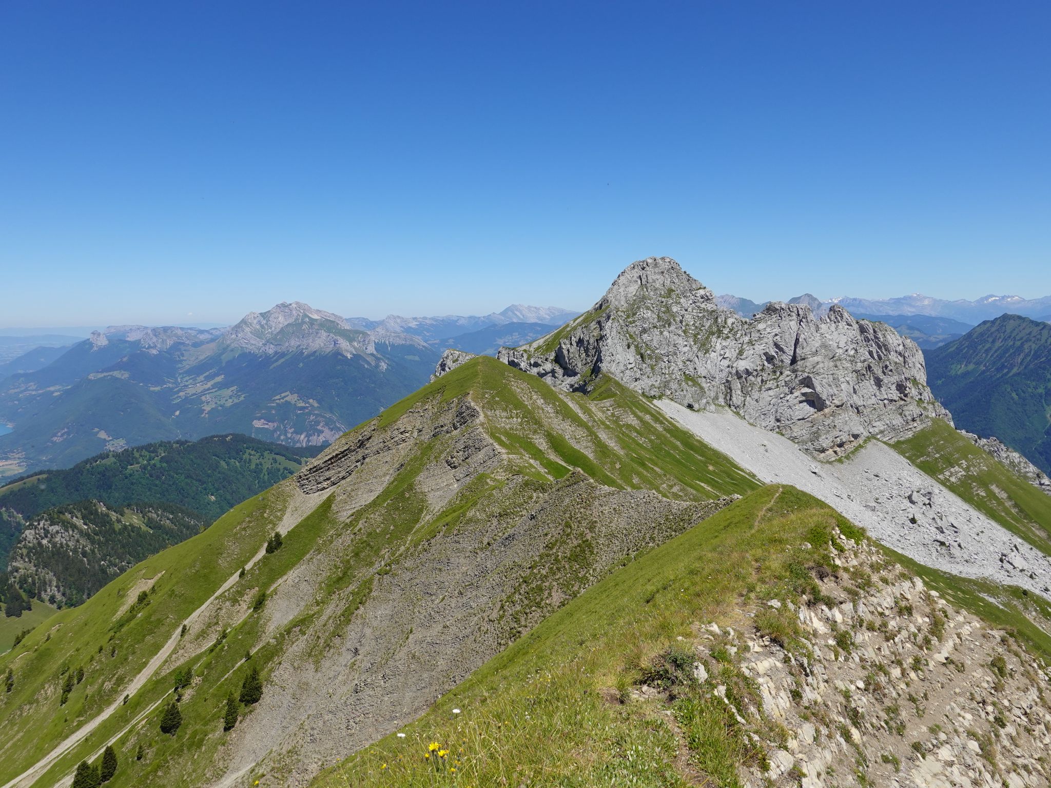
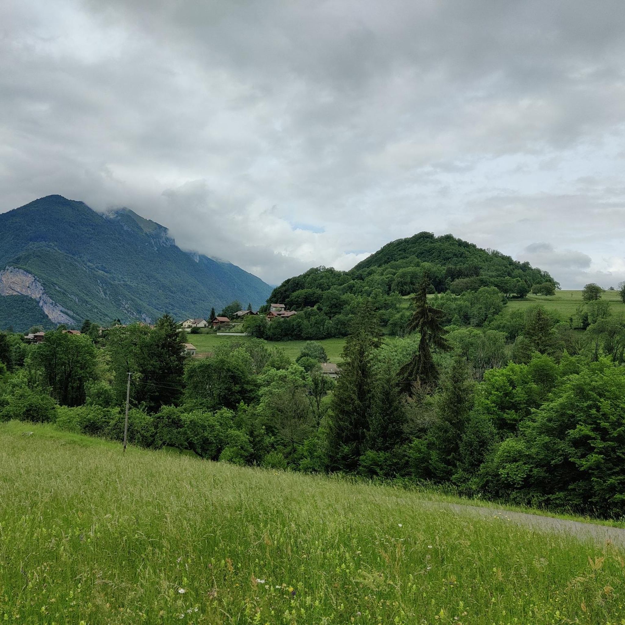
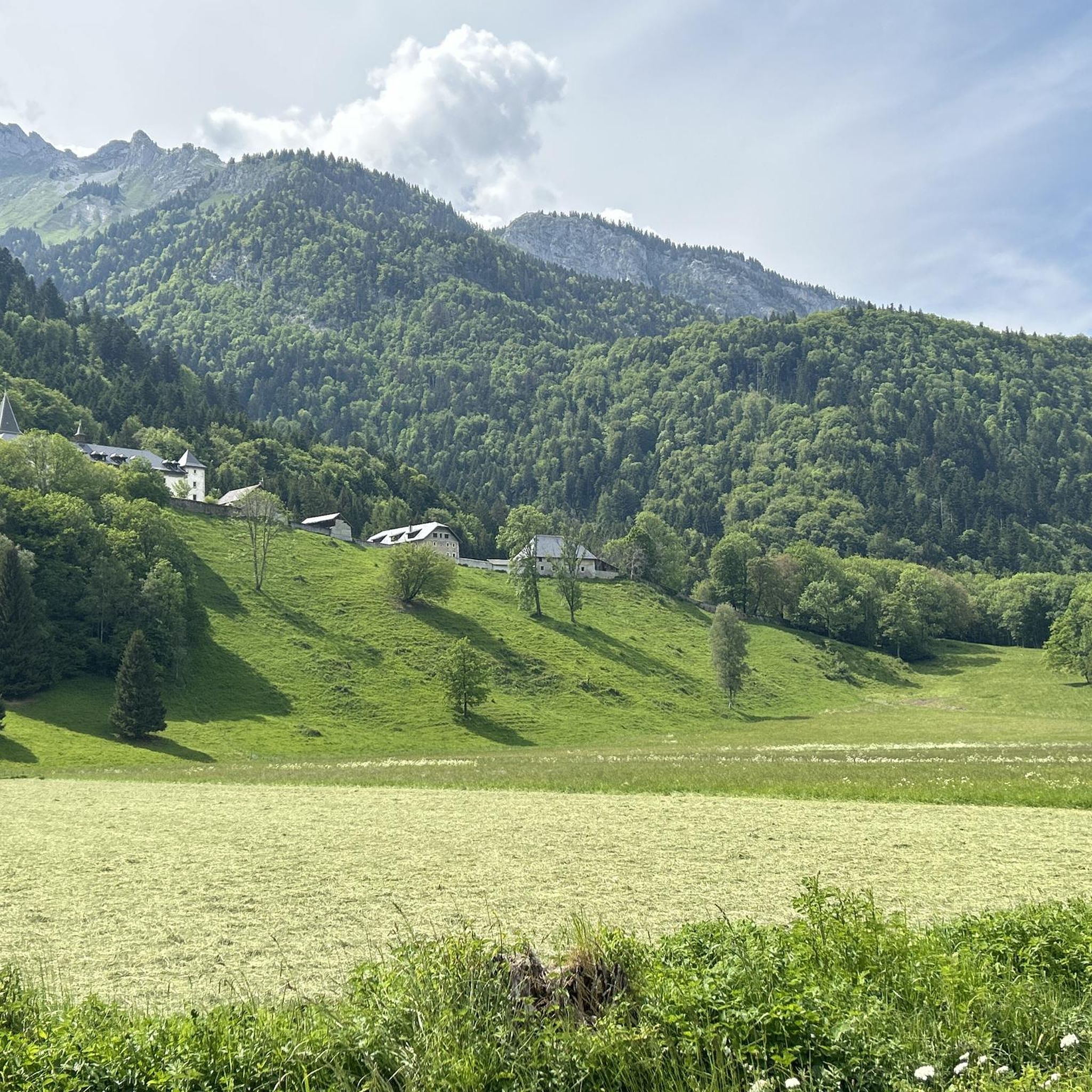
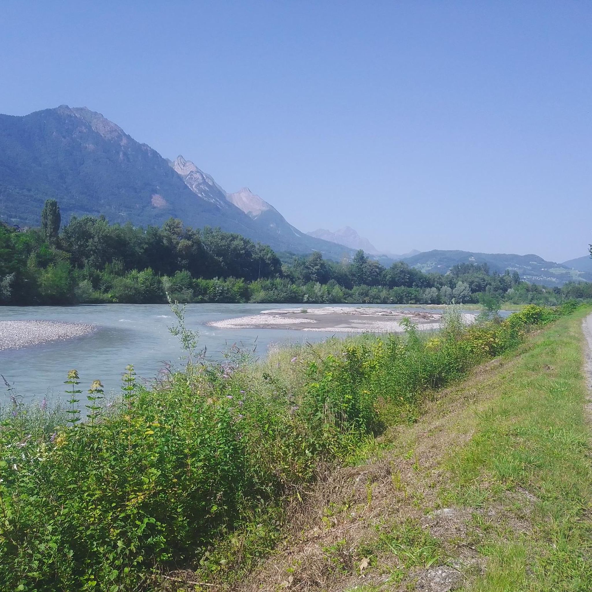


Other adventures around Cléry

Tips from the Community

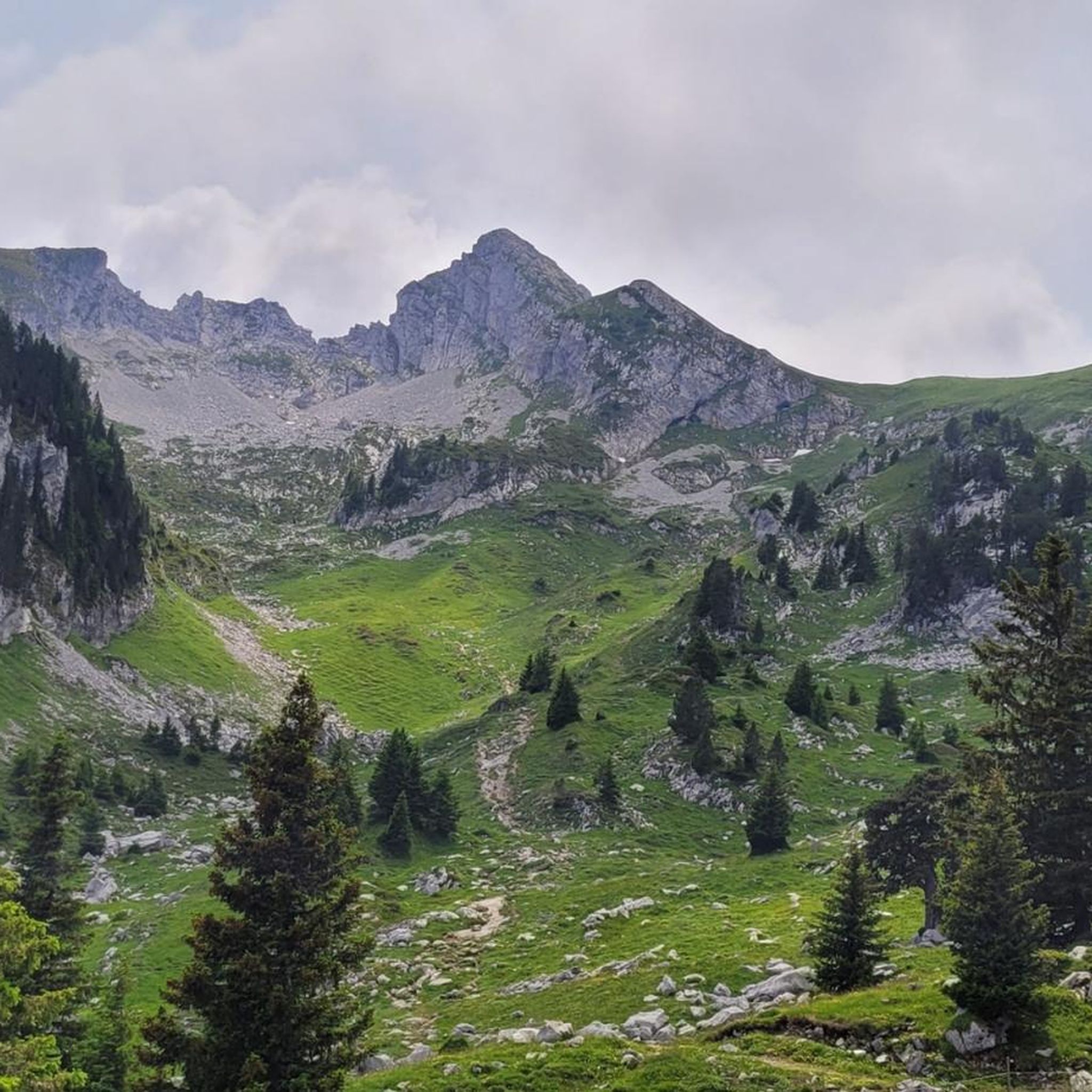
A pass in the heart of the Bauges Massif, the core zone of the nature reserve, with beautiful views, including the Arcalod, the highest peak of the massif, with good chances of spotting marmots below.
0
0

A beautiful peak at 1919m, near the Refuge d'Orgeval.
0
0

It is a pretty rocky point, which rises to 1,919 meters above sea level.
0
0
From here, we have a very beautiful panorama of the Bauges. It's a very cool spot!
0
0
The Mont de la Coche rises to 2,070 meters above sea level and offers a splendid panorama of the Bauges. A cross marks the top.
0
0
It is a pretty pass in the heart of the alpine pastures, at an altitude of 1,519 meters.
0
0
It is a small set of private buildings. There is a fountain and public toilets.
0
0
It's a pretty little alpine chalet, 1,610 meters above sea level. You can buy something to eat there, and spend the night there. However, the refuge no longer offers half board.
0
0
Frequently Asked Questions
How many running routes are available around Cléry?
Cléry offers a wide variety of running experiences, with over 240 routes available. These range from easy strolls to more challenging runs, ensuring there's something for every fitness level.
Are there easy running routes suitable for beginners in Cléry?
Yes, Cléry has several easy running routes perfect for beginners. The region's gentle rolling hills and flat river paths provide accessible terrain. For instance, the Riverbank Meadow Run is an easy 3.0 miles (4.8 km) path that follows the scenic river, offering open views and a flat surface.
What kind of terrain can I expect on the running trails in Cléry?
The running trails in Cléry feature a diverse landscape. You'll encounter gentle rolling hills, expansive agricultural fields, and tranquil forest paths. Many routes also follow riverbanks and quiet country lanes, providing a mix of open views and shaded sections through woodlands.
Are there any circular running routes in Cléry?
Yes, many of the running routes in Cléry are designed as loops, offering a convenient way to explore the area without retracing your steps. A popular example is the Cléry Forest Loop, a 4.5 miles (7.2 km) trail that provides a peaceful run through dense woodland.
Can I bring my dog on the running trails around Cléry?
Many trails in Cléry are dog-friendly, especially those through forests and along riverbanks. It's always a good idea to check local signage for specific restrictions, particularly in nature reserves or agricultural areas, and to keep your dog on a leash where required.
Are there running routes in Cléry that are suitable for families?
Absolutely. The region's easier, flatter paths, such as those along riverbanks or through open fields, are ideal for families. These routes often provide accessible surfaces and less strenuous distances, making them enjoyable for all ages.
What are some interesting sights or landmarks I might encounter on a run in Cléry?
While running in Cléry, you might pass by several interesting points. The region features natural landmarks like the Tamié Pass and La Belle-Étoile. You could also encounter cultural sites such as the Notre-Dame de Tamié Abbey, or enjoy a nice bike path along the Isère which can also be used for running.
What is the best time of year to go running in Cléry?
Spring and autumn are generally considered the best times for running in Cléry. The weather is mild, and the natural scenery is particularly beautiful with blooming flowers or vibrant fall foliage. Summer can also be pleasant, especially in the shaded forest sections, but it's advisable to run early in the morning or late in the afternoon to avoid the midday heat.
Are there options for parking near the running trails in Cléry?
Yes, many trailheads and popular starting points for running routes in Cléry offer designated parking areas. These are often found near villages, recreational areas, or forest entrances. It's recommended to check specific route details on komoot for parking information before you head out.
How accessible are the running routes in Cléry by public transport?
Accessibility by public transport varies across the region. While some routes might be reachable via local bus services connecting to Cléry's main areas, many trails, especially those in more rural or forested locations, may require personal transport. Checking local bus schedules and route starting points is advisable.
What do other runners say about the trails in Cléry?
The running routes in Cléry are highly regarded by the komoot community, boasting an average score of 4.3 stars from over 50 reviews. Runners frequently praise the peaceful atmosphere of the dense woodlands, the scenic river views, and the well-maintained paths that cater to various skill levels.
Are there longer or more challenging running routes for experienced runners?
Yes, Cléry offers plenty of options for experienced runners seeking a greater challenge. With 104 difficult routes and 128 moderate routes, you can find longer distances and more varied terrain, including routes like the Village to Vineyard Trail, which is 6.0 miles (9.7 km) and leads through picturesque vineyards and small hamlets.
Can I find routes with good viewpoints in Cléry?
Absolutely. Given Cléry's rolling hills and open landscapes, many running routes offer rewarding viewpoints. Trails that ascend to higher ground or pass through open agricultural fields often provide expansive vistas of the surrounding countryside and distant mountains.
Are there any huts or refuges along the running trails in Cléry?
Yes, for those looking for a stop or a longer adventure, there are several huts and refuges in the vicinity of Cléry. Notable options include the Drison Refuge, La Fullie Chalets, and the Orgeval Refuge. These can be great points for a break or to extend your run into a multi-day trip.
Most popular attractions around Cléry

Get inspired with the komoot mobile app


Explore more
Browse the best Running Trails & Routes in other regions.
