The best MTB trails around La Prétière
4.4
(150)
655
riders
94
rides
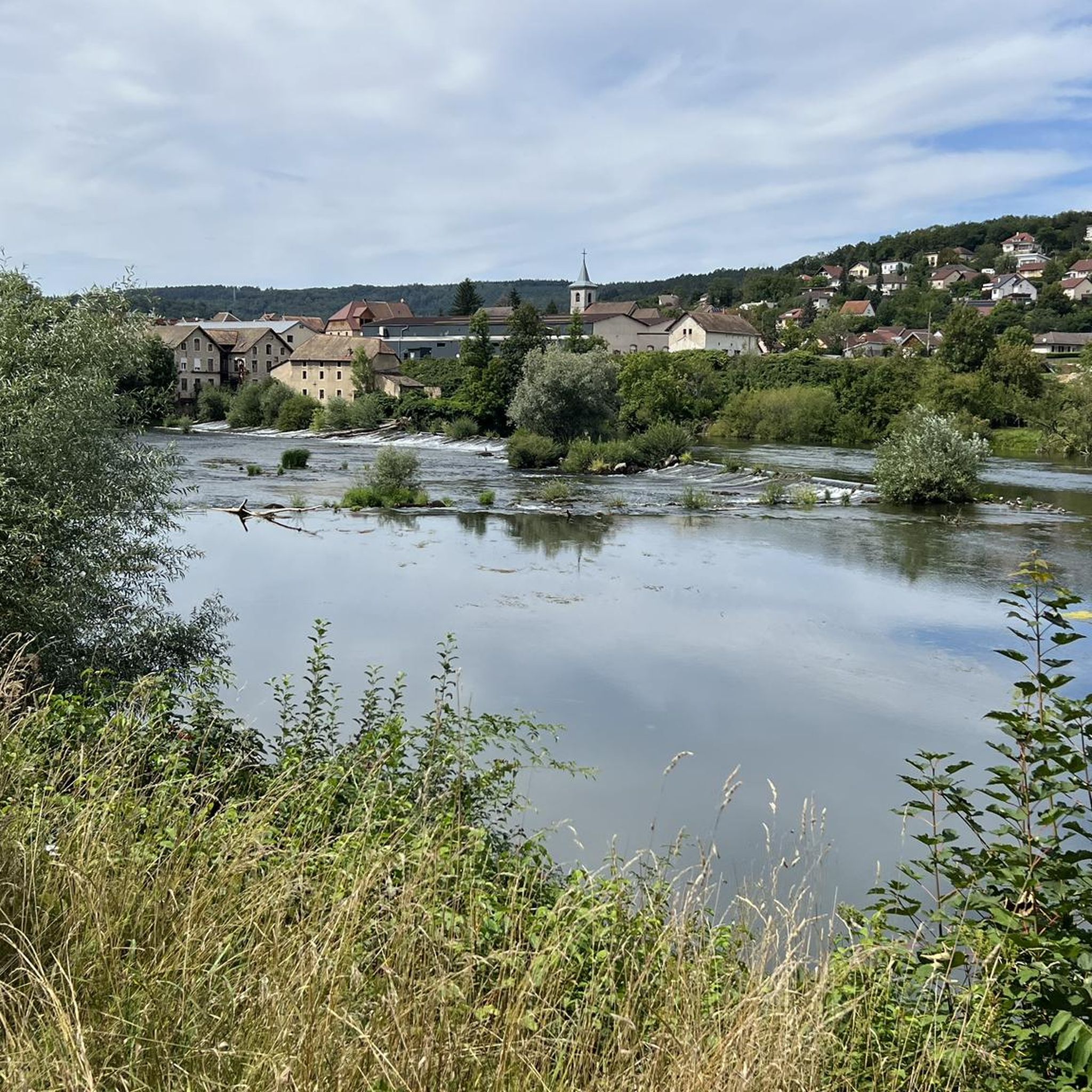
Mountain biking around La Prétière offers diverse landscapes characterized by deep, green valleys, steep slopes, and extensive forests. The region, sometimes referred to as "Swiss Normandy," features rugged terrain shaped by rivers and natural water features. This environment provides a variety of mountain bike trails suitable for different skill levels, from moderate paths along river loops to more challenging routes with significant elevation changes.
Best mountain bike trails around La Prétière
- The most popular mountain bike trail is L'Isle-sur-le-Doubs Lock…
Last updated: October 9, 2026
4.1
(9)
40
riders
49.1km
02:33
190m
190m
Moderate mountain bike ride. Good fitness required. Suitable for all skill levels.
4.5
(2)
21
riders
Moderate mountain bike ride. Good fitness required. Suitable for all skill levels.

4.0
(3)
17
riders
Hard mountain bike ride. Very good fitness required. Advanced riding skills necessary.
5.0
(2)
21
riders
108km
07:32
1,250m
1,250m
Hard mountain bike ride. Very good fitness required. Advanced riding skills necessary.
3.0
(1)
4
riders
35.4km
02:45
480m
480m
Moderate mountain bike ride. Good fitness required. Advanced riding skills necessary.
Get access to more routes and recommendations from other explorers.
Already have an account?
Our route recommendations are based on thousands of hikes, rides, and runs completed by other people on komoot.
Start today with a free account
Your next adventure awaits.

Tips from the Community

During this hilly route which combines asphalted parts, gravel and sometimes "single track", you will discover pretty panoramas. Be careful, from the place called "Les Baraques", we had planned to cross the "bois des Bouillets" via a path marked on the map. However, this path has disappeared under vegetation and is no longer passable. It is therefore useless to go to the place called Les Baraques as the route plans, otherwise you will have to turn back.
0
0

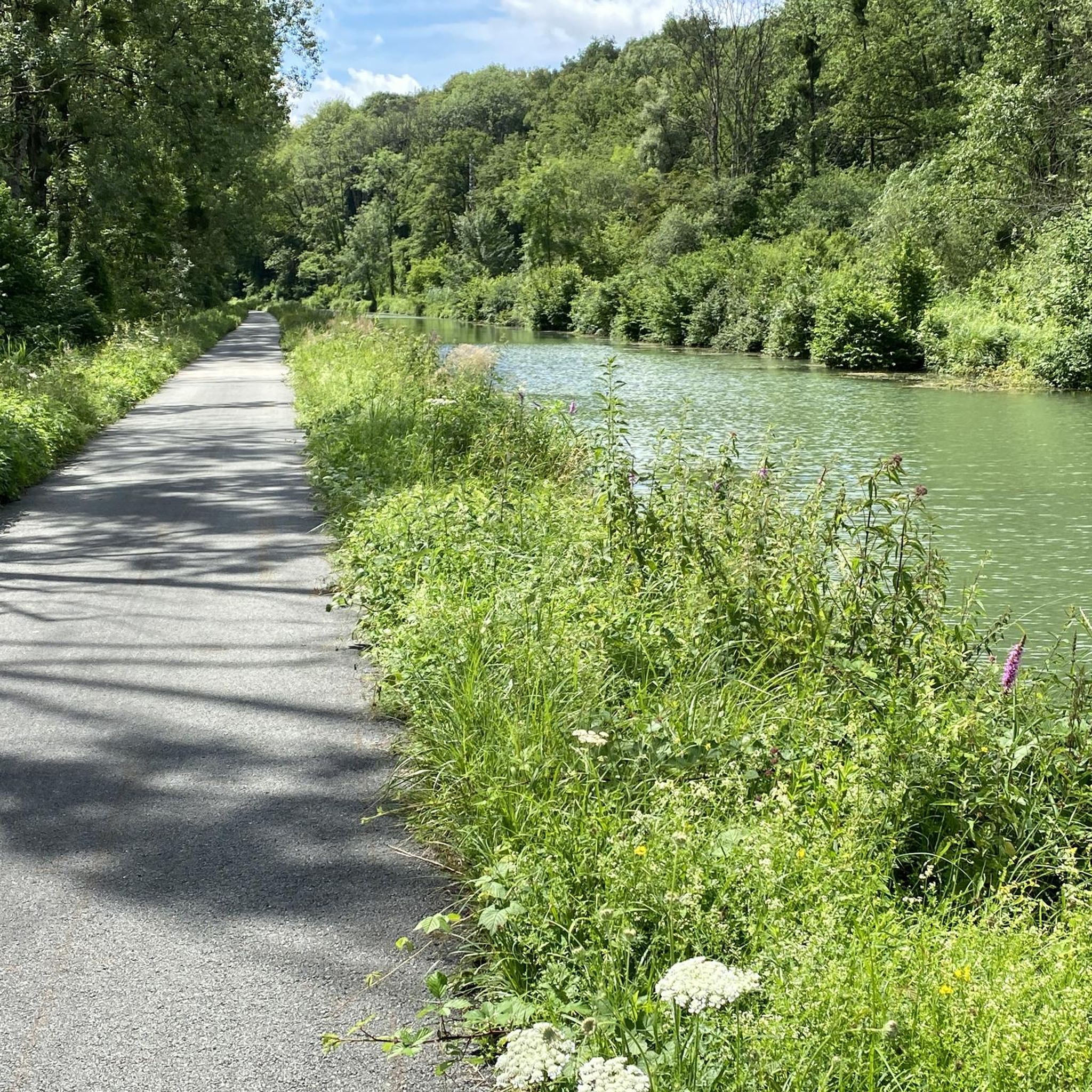
Just a short walk from the city centre, the Montbéliard marina offers a pleasant stop for strolling along the banks of the Rhône-Rhine canal.
0
0
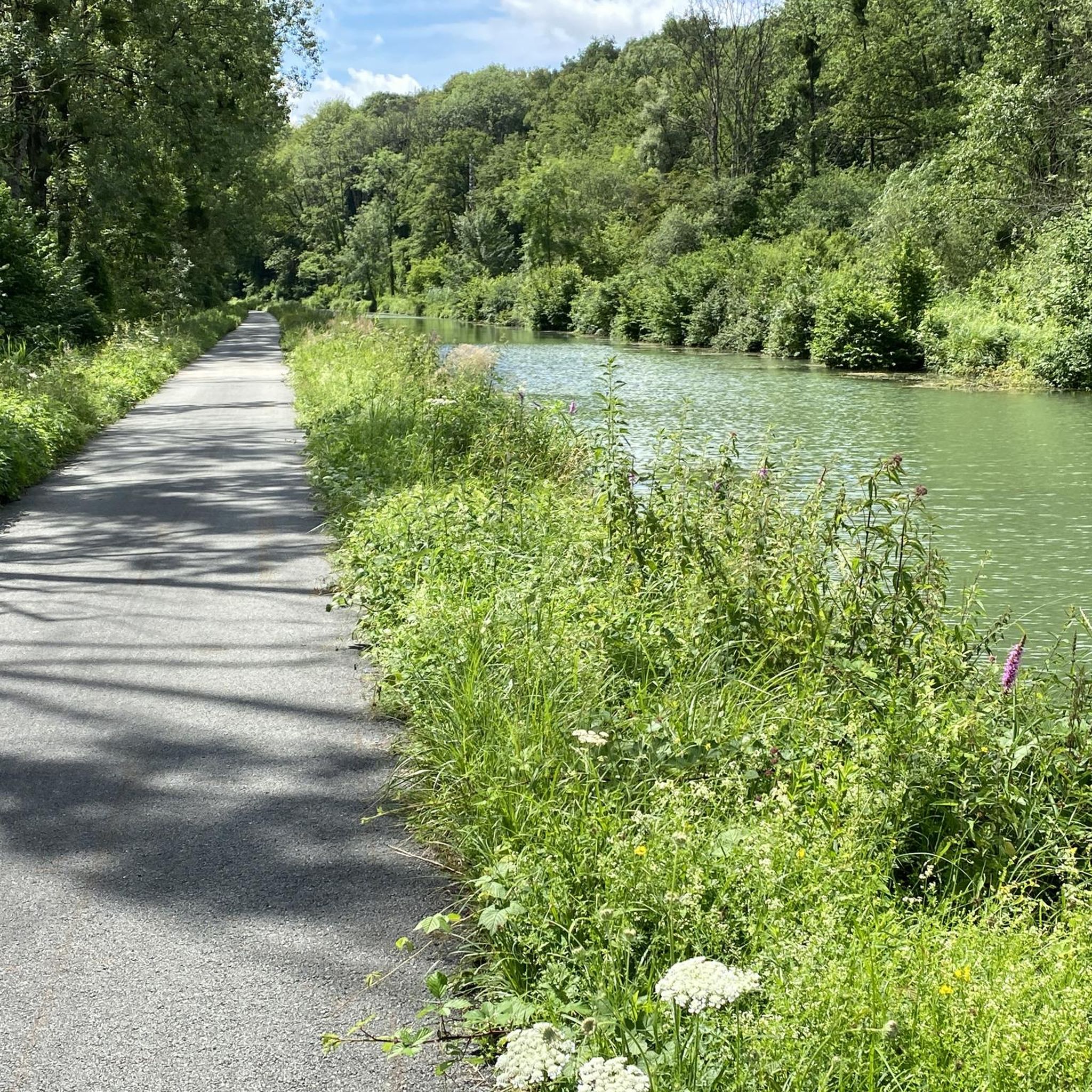
This magnificent section approaching Baume-les-Dames reveals a bucolic setting. Between the Rhône-Rhine Canal and the Doubs River, it's a delight to progress through this environment.
0
0


nice tour along chanels and rivers.. for now from Mulhouse to Besançon... and further... until Nevers
0
0


A beautiful tour to get from Freiburg into France. Then you can follow the Rhone to the South of France or cross the Saone to the Loire. A very, very nice ride.
0
0

A lovely, typically French town with everything you need. The Salon de Thé makes the best croissants!
0
0
Frequently Asked Questions
How many mountain bike trails are available around La Prétière?
There are over 100 mountain bike trails around La Prétière, offering a wide range of options for different skill levels. You'll find 8 easy routes, 46 moderate routes, and 48 difficult routes to explore.
What kind of terrain can I expect on mountain bike trails in La Prétière?
The terrain around La Prétière is diverse, characterized by deep, green valleys, steep slopes, and extensive forests. Often referred to as "Swiss Normandy," the region features rugged landscapes shaped by rivers and natural water features, providing both challenging climbs and scenic descents.
Are there any easy mountain bike trails suitable for beginners or families?
Yes, there are 8 easy mountain bike routes around La Prétière. While specific family-friendly routes are not detailed, these easier options generally follow less challenging terrain, often along river loops, making them more accessible.
What do other mountain bikers enjoy most about the trails in La Prétière?
The mountain bike trails in La Prétière are highly rated by the komoot community, with an average score of 4.5 stars from over 145 reviews. Riders often praise the varied terrain, the scenic river valleys, and the extensive forest paths that define the region.
Are there any circular mountain bike routes in the area?
Yes, many routes around La Prétière are circular. For example, the moderate L'Isle-sur-le-Doubs Lock – Le Doubs loop from L'Isle-sur-le-Doubs is a popular circular trail following the scenic Doubs river. Another option is the Rhine-Rhone Canal – Le Doubs loop from L'Isle-sur-le-Doubs, which takes you through river valleys and along canals.
What are some challenging mountain bike routes for experienced riders?
Experienced riders will find plenty of challenging options, with 48 difficult routes available. A notable difficult route is the L'Isle-sur-le-Doubs – Four Ends Boundary Stone loop from L'Isle-sur-le-Doubs, which covers 53.8 km and features significant elevation gain through varied terrain.
Are there any natural attractions or scenic viewpoints along the mountain bike trails?
Yes, the region offers striking natural features. You can explore areas near the Le Doubs river, which carves deep valleys. While not directly on these specific routes, the broader region is known for waterfalls like the Grande Cascade in Mortain and unique rock formations, enhancing the scenic beauty of the trails.
What towns or villages can I explore near the mountain bike trails?
The town of L'Isle-sur-le-Doubs serves as a common starting point for many routes. The region also features picturesque villages nestled within valleys or against hillsides, providing charming stops during your excursions.
Are there any places to camp or find facilities near the trails?
Yes, for those looking to stay overnight, Camping Municipal des Îles Clerval is a facility located nearby, offering a convenient base for exploring the mountain bike trails.
Can I find routes that follow rivers or canals?
Absolutely. Many routes in La Prétière incorporate water features. For instance, the Le Doubs – L'Isle-sur-le-Doubs loop from L'Isle-sur-le-Doubs follows the river, and the Rhine-Rhone Canal – Le Doubs loop from L'Isle-sur-le-Doubs specifically leads through river valleys and along canals.
What is the typical duration for mountain bike rides in La Prétière?
Ride durations vary significantly based on the trail's difficulty and length. Moderate routes like the Le Gélot Monument – Nice, well-maintained single loop from L'Isle-sur-le-Doubs can take around 2 hours 47 minutes, while more difficult and longer trails can extend to over 4 hours, such as the L'Isle-sur-le-Doubs – Four Ends Boundary Stone loop from L'Isle-sur-le-Doubs, which typically takes 4 hours 46 minutes.
Most popular routes around La Prétière
Most popular attractions around La Prétière

Get inspired with the komoot mobile app


Explore more
Browse the best MTB trails in other regions.
