The best walks and hikes around Pompierre-Sur-Doubs
4.3
(39)
129
hikers
9
hikes
Hiking around Pompierre-Sur-Doubs offers diverse natural features within the Doubs department of Bourgogne-Franche-Comté. The region is characterized by the confluence of the Rhône-Rhine Canal and the Soye river, which has sculpted a narrow valley through a plateau averaging 350 meters in altitude. Hikers can explore landscapes featuring the wide meanders of the Doubs river, dense forests, and the broader Montagnes du Jura region.
Best hiking trails around Pompierre-Sur-Doubs
- The most popular hiking route is Chapel – Local Campsite by the…
Last updated: October 9, 2026
4.3
(6)
19
hikers
6.14km
01:55
230m
230m
Easy hike. Great for any fitness level. Easily-accessible paths. Suitable for all skill levels.
4.0
(4)
6
hikers
Moderate hike. Good fitness required. Easily-accessible paths. Suitable for all skill levels.

4.0
(4)
14
hikers
4.10km
01:07
60m
60m
Easy hike. Great for any fitness level. Easily-accessible paths. Suitable for all skill levels.
13
hikers
8.93km
02:17
30m
30m
Moderate hike. Good fitness required. Easily-accessible paths. Suitable for all skill levels.
4
hikers
14.5km
03:58
230m
230m
Moderate hike. Good fitness required. Easily-accessible paths. Suitable for all skill levels.
Get access to more routes and recommendations from other explorers.
Already have an account?
Our route recommendations are based on thousands of hikes, rides, and runs completed by other people on komoot.
Start today with a free account
Your next adventure awaits.

Tips from the Community


A nice campsite right on the Doubs. Just set up camp. In the evening, someone goes around and registers you. Then you pay at the cash register. I think it was around €7 for the tent. I set up a spot in the shade. The restrooms are a bit older, but when I was there to shower, someone was always there cleaning, and it was noticeable. There was a music festival in the village that evening. The birds were noisy at night, but that's nature. The next morning, we drove to the delicious bakery in the village and then moved on.
1
0

The campsite is managed by the municipality. The reception is open for 30 minutes each morning and evening. If you arrive between these hours, you can simply set up camp on a free pitch and report to reception when it opens.
0
0

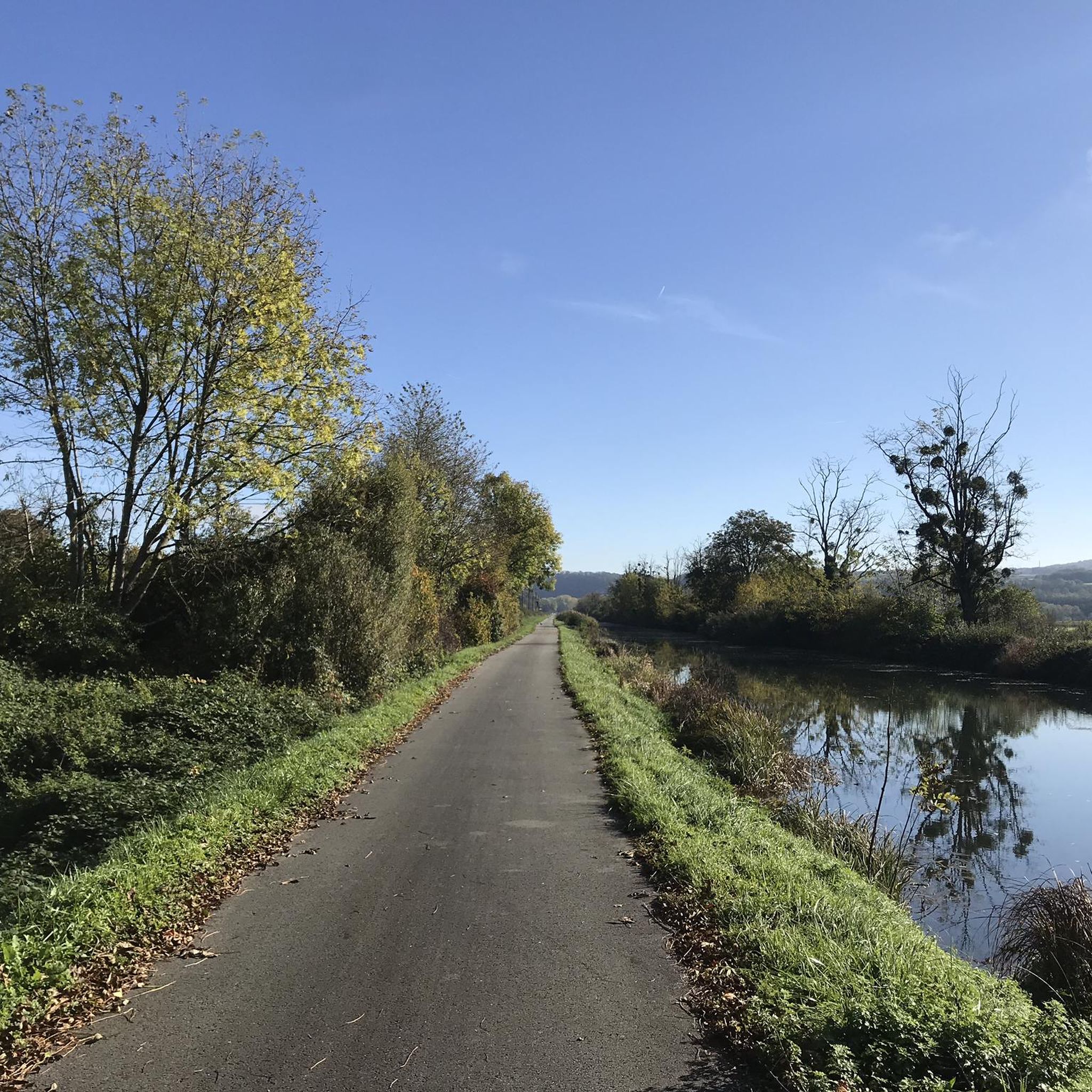
The banks of the Doubs are a wonderful place for a bike ride. At this loop, the river is paralleled by the pretty Rhone-Rhine canal.
2
0

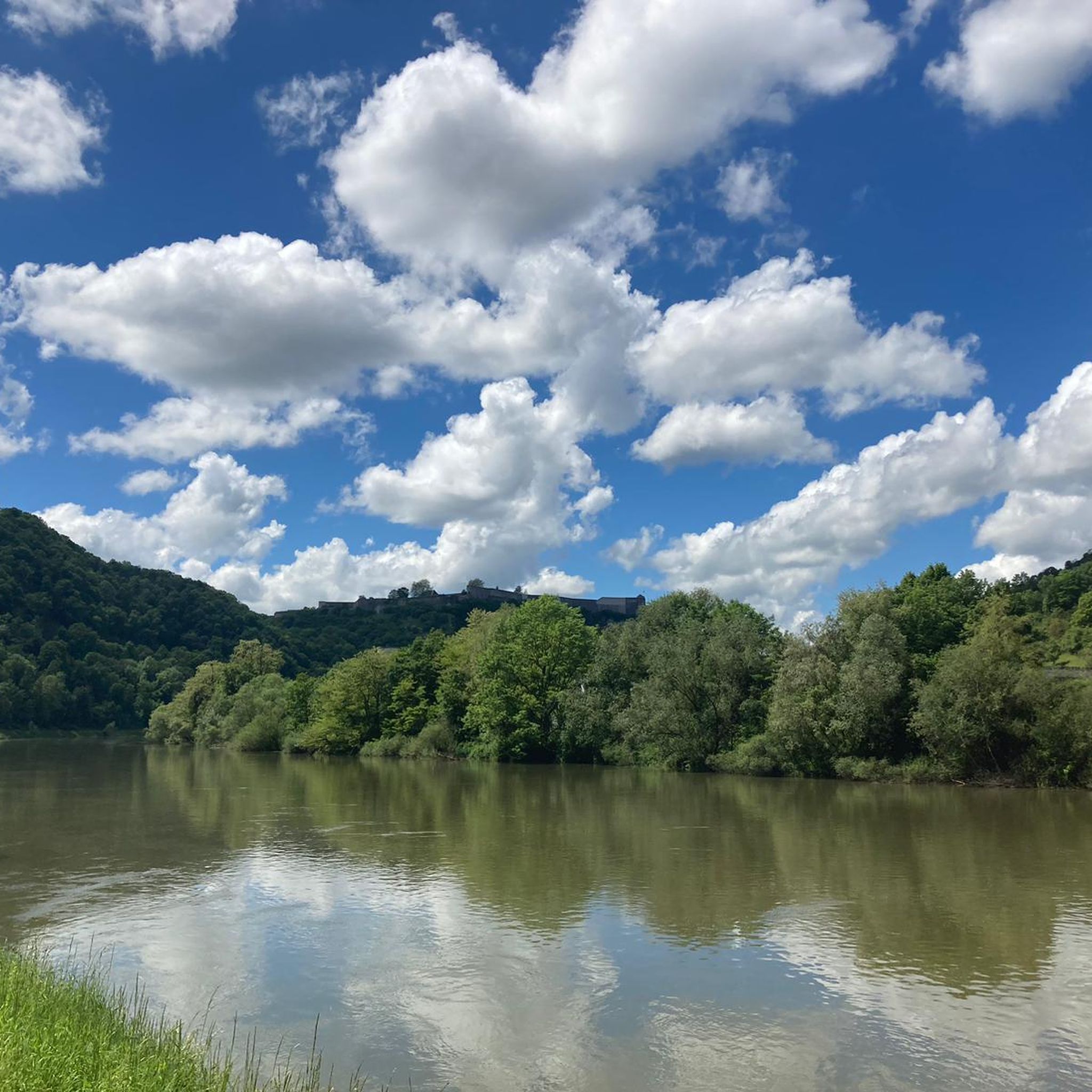
Quaint view across the old canal locks in this historic town on the Doubs river.
1
1

Unfortunately already closed
0
0
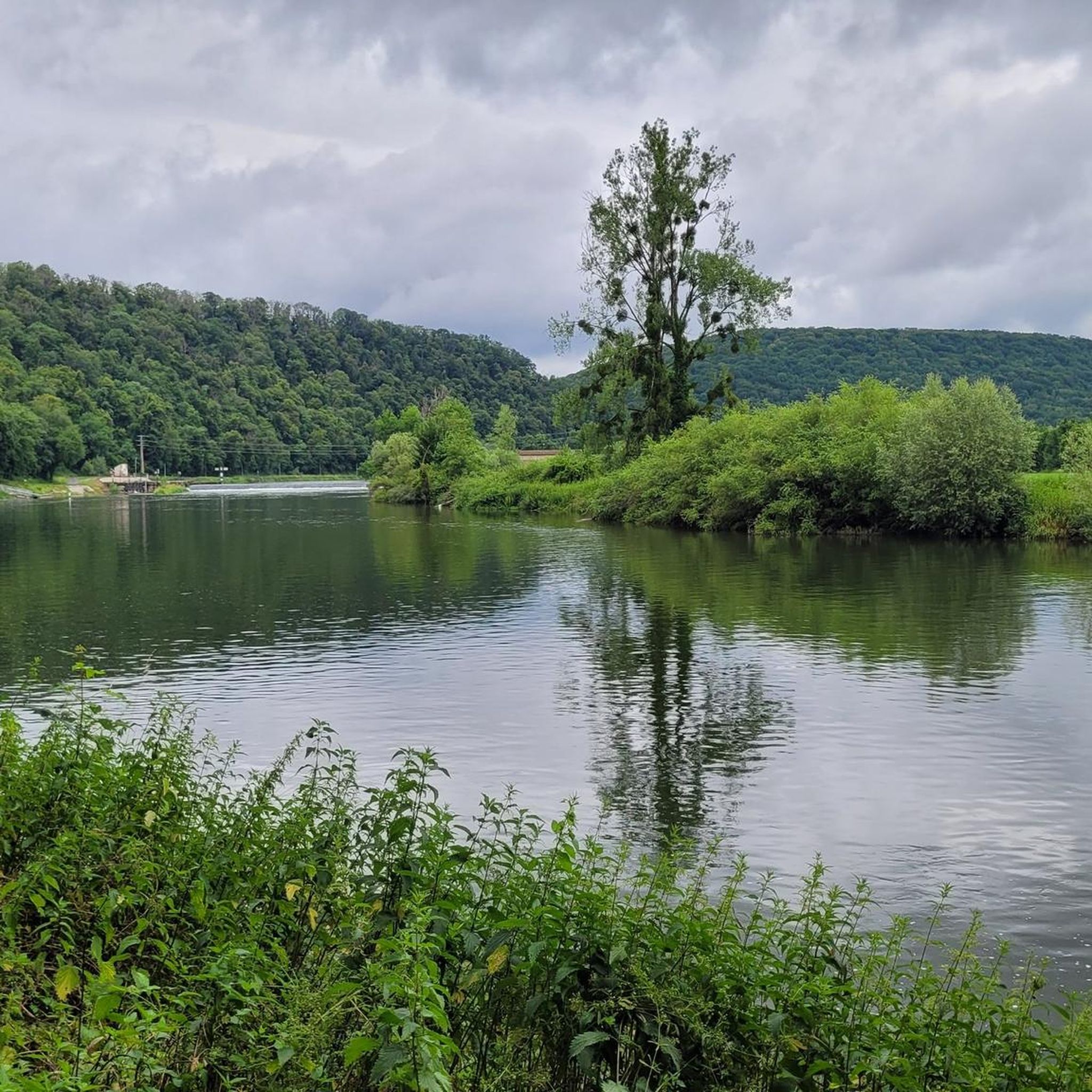
In a beautiful location next to the Doubs
0
0

Nice little place sm bike path.
2
0
Frequently Asked Questions
How many hiking trails are available around Pompierre-sur-Doubs?
There are 9 marked hiking trails around Pompierre-sur-Doubs, offering diverse options for exploration. These routes are highly rated by the komoot community, with an average score of 4.0 stars.
What kind of landscapes can I expect on hikes near Pompierre-sur-Doubs?
The region offers varied landscapes, characterized by the confluence of the Rhône-Rhine Canal and the Soye river. You'll find trails along the wide meanders of the Doubs river, through narrow valleys sculpted into plateaus, and within dense forests typical of the broader Montagnes du Jura region.
Are there hiking trails for all skill levels in Pompierre-sur-Doubs?
Yes, the area provides options for various abilities. There are 4 easy trails, 4 moderate trails, and 1 difficult trail, ensuring that both casual walkers and more experienced hikers can find suitable routes.
What natural features or landmarks can I discover while hiking in the area?
Hikers can explore the scenic Doubs river, the Soye stream, and plateaus offering views of the surrounding landscape. Notable points of interest include the historic Fountain-washhouse Saint-Léger in the village center, and destinations like "La Roche du Châtelard" and "La Chapelle Sainte-Anne et les éoliennes du Lomont" mentioned in local hiking specifics. You can also find highlights like the Bike path along the Doubs and the Le Doubs river itself.
Are there any family-friendly hiking options in Pompierre-sur-Doubs?
Yes, several trails are suitable for families. Easy routes like the View of Nans – Les roches de nans loop from Nans, which is 4.1 km long, provide accessible options for a pleasant outing with children. The area also features picnic and recreation areas, such as by the Soye stream.
Are dogs allowed on the hiking trails around Pompierre-sur-Doubs?
While specific regulations for each trail may vary, generally, dogs are welcome on many hiking paths in the Doubs region, provided they are kept under control, especially in natural areas. It's always recommended to check local signage or specific trail guidelines for any restrictions.
Are there any circular hiking routes available?
Yes, many of the trails around Pompierre-sur-Doubs are designed as loops. For example, the Chapel – Local Campsite by the Doubs loop from Pays-de-Clerval is a popular circular route that takes you along the Doubs river.
What do other hikers enjoy most about hiking in Pompierre-sur-Doubs?
The area is highly rated by the komoot community, with an average score of 4.0 stars from over 20 reviews. Hikers often praise the diverse terrain, from river valleys to plateaus and dense woodlands, and the well-maintained network of trails that cater to different ability levels.
Is there parking available near the trailheads in Pompierre-sur-Doubs?
Parking is generally available in and around Pompierre-sur-Doubs, particularly in village centers or designated areas near popular trail starting points. It's advisable to check specific route details for recommended parking locations.
What is the best time of year to go hiking in Pompierre-sur-Doubs?
The region is suitable for hiking across multiple seasons. Spring and autumn offer pleasant temperatures and vibrant natural colors, while summer provides warmer weather for longer days on the trails. Winter hiking is also possible, though conditions may vary, especially on higher plateaus.
Are there any longer, more challenging hikes for experienced trekkers?
Yes, for those seeking a greater challenge, there is at least one difficult trail available. Additionally, moderate routes like the Grotte de la Malatière loop from Accolans, which spans nearly 14.5 km, offer a substantial trek through varied terrain.
Can I combine hiking with other outdoor activities in the area?
Absolutely. The EuroVélo 6, a major European cycling route, passes close to Pompierre-sur-Doubs, offering excellent opportunities for cycling. The region's rivers also provide options for water-based activities, and the broader Doubs department is known for various outdoor pursuits.
Most popular routes around Pompierre-Sur-Doubs
Most popular attractions around Pompierre-Sur-Doubs

Get inspired with the komoot mobile app


Explore more
Browse the best Hikes in other regions.
