The best walks and hikes around Gerzat
4.4
(1119)
8,297
hikers
504
hikes
Hiking trails around Gerzat offer a diverse landscape characterized by gentle hills, stream valleys, and open views of the surrounding countryside. The region features a mix of agricultural areas and natural waterways, providing varied scenery for outdoor activities. Elevation changes are generally moderate, making many routes accessible for different fitness levels. Hikers can expect paths that traverse both open fields and areas near small watercourses.
Best hiking trails around Gerzat
- The most popular hiking route is Ruisseau de Blanzat –…
Last updated: July 3, 2026
4.3
(9)
34
hikers
11.4km
03:11
210m
210m
Moderate hike. Good fitness required. Easily-accessible paths. Suitable for all skill levels.
4.0
(1)
27
hikers
6.44km
01:42
50m
50m
Easy hike. Great for any fitness level. Easily-accessible paths. Suitable for all skill levels.

Sign up for free
5.0
(1)
13
hikers
8.24km
02:23
200m
200m
Moderate hike. Good fitness required. Easily-accessible paths. Suitable for all skill levels.
5.0
(1)
12
hikers
5.27km
01:41
200m
200m
Easy hike. Great for any fitness level. Easily-accessible paths. Suitable for all skill levels.
4.0
(1)
15
hikers
7.81km
01:59
20m
20m
Easy hike. Great for any fitness level. Easily-accessible paths. Suitable for all skill levels.
Get access to more routes and recommendations from other explorers.
Sign up for free
Already have an account?
Our route recommendations are based on thousands of hikes, rides, and runs completed by other people on komoot.
Start today with a free account
Your next adventure awaits.
Login or Signup

Tips from the Community

The Col de Bancillon is a symbolic passage of the GTMC. It is climbed at the end of a steep climb with elevation percentages ranging from 12% to 23%. The arrival at the summit is marked by this emblematic GTMC totem (composed of four white poles).
0
0

1 hour, 11km tour between town and hill
0
0

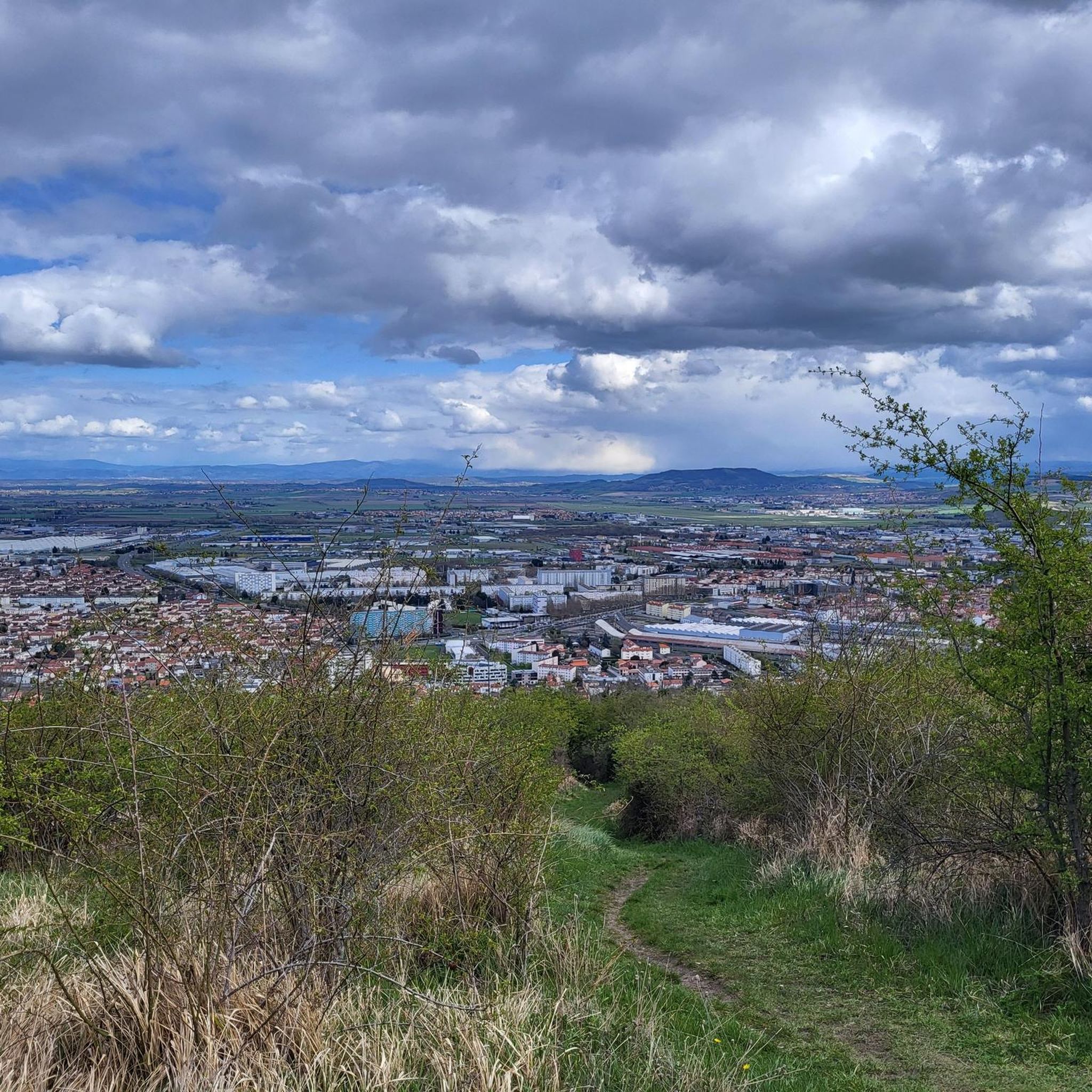
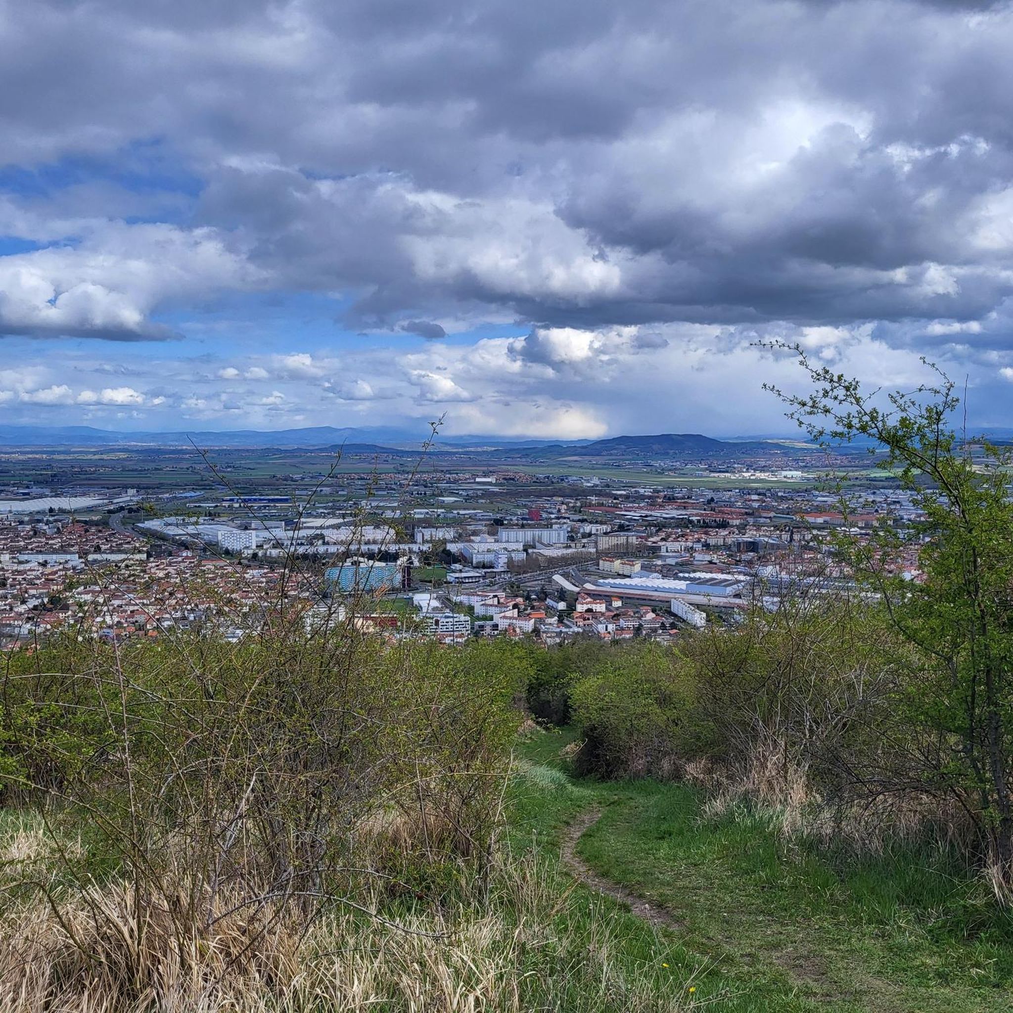
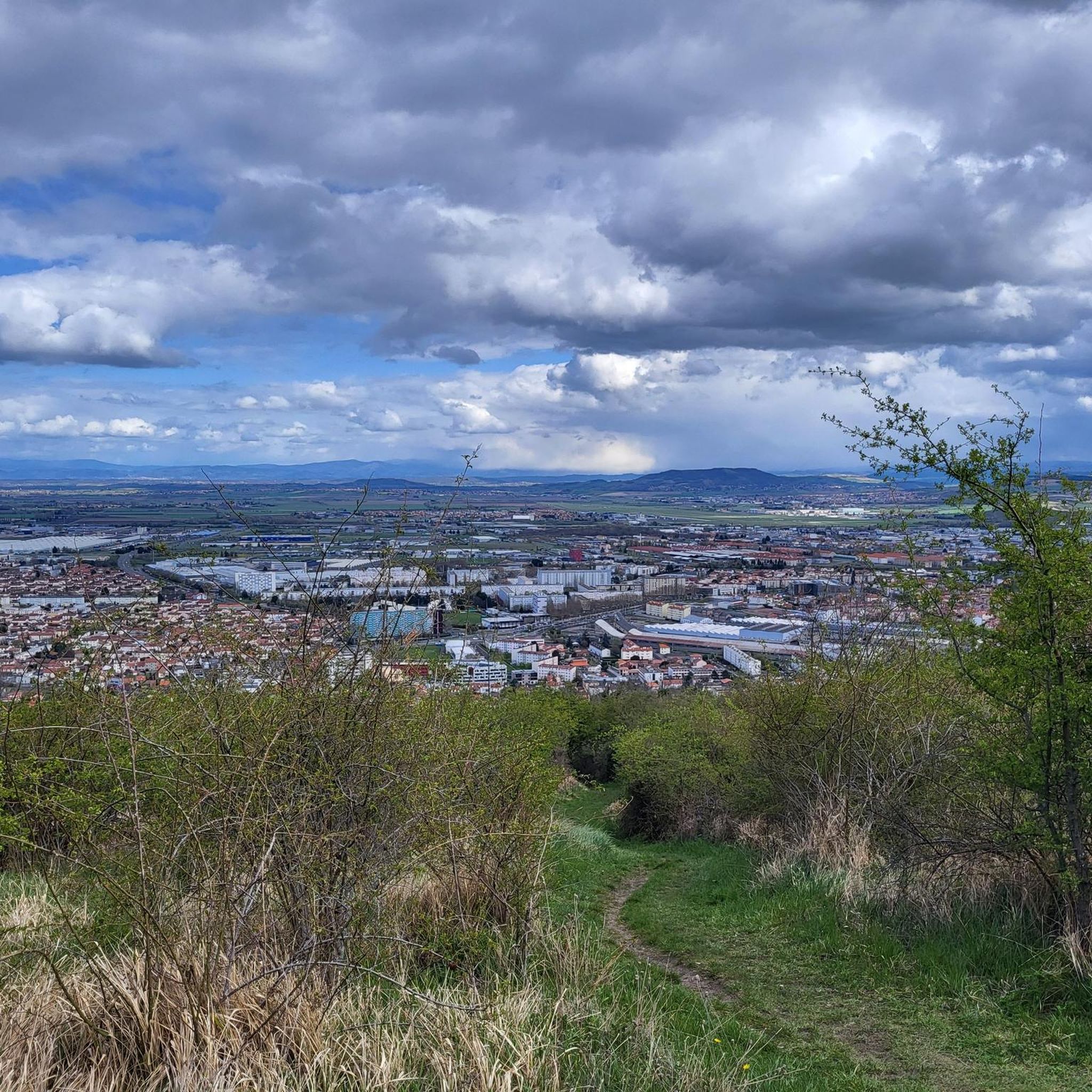
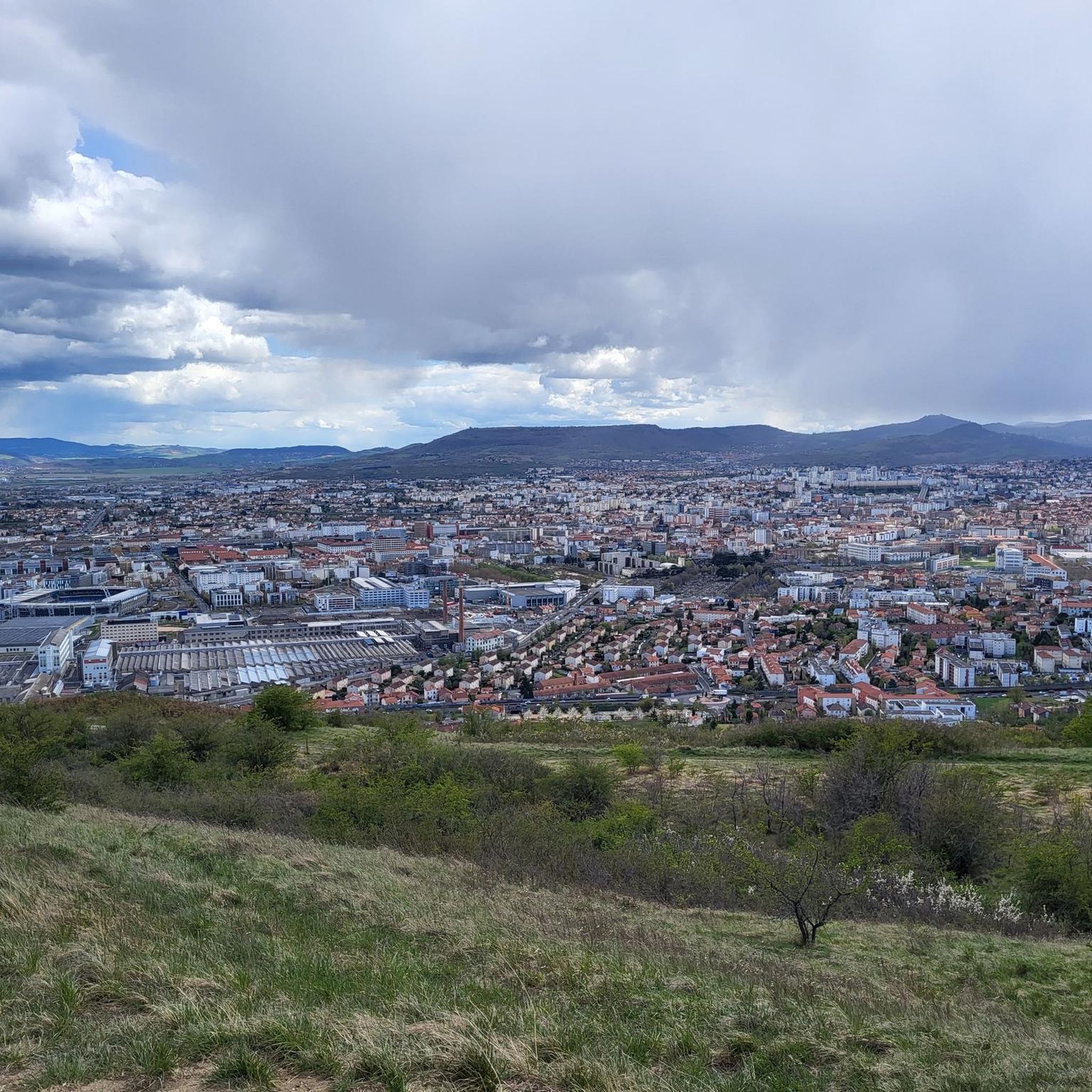
This viewpoint offers a beautiful panorama of the city of Clermont-Ferrand further south.
0
0

The Col de Bancillon offers lovely views of the center of Clermont and its cathedral.
0
0
Located between Blanzat and Nohanent, the Vallée du Bédat storm basin is a pretty body of water with landscaped banks.
0
0

Crossing point of the Grande Traversée du Massif Central (GTMC), ascent with high percentages (12 to 23%) by rue du Cheval.
0
0
Very nice panoramic view.
0
0

Col listed in the "Club des 100 cols" Very very dry climb !!! Short but hellish !!
0
0
Frequently Asked Questions
How many hiking trails are available around Gerzat?
Gerzat offers a wide selection of hiking opportunities, with over 490 routes recorded on komoot. This includes a diverse range of trails suitable for various fitness levels and preferences.
Are there easy hiking trails suitable for beginners or families in Gerzat?
Yes, Gerzat is very welcoming for beginners and families. More than half of the trails, specifically 252 routes, are rated as easy. An excellent option is the Small bridge over the Bédat – Bédat Basin loop from Cébazat, which is an easy 4.3-mile (7.0 km) path providing a gentle walk along the Bédat Basin.
Can I find circular hiking routes in Gerzat?
Many of the hiking routes around Gerzat are designed as loops, allowing you to start and end at the same point. For example, the popular Ruisseau de Blanzat – Blanzat and its agricultural past loop from Cébazat is a 6.8-mile (11.0 km) circular trail offering varied terrain and agricultural views.
What kind of scenery can I expect on hikes near Gerzat?
Hiking around Gerzat features a diverse landscape of gentle hills, serene stream valleys, and expansive open views of the surrounding countryside, often including glimpses of Clermont-Ferrand. You'll traverse a mix of agricultural areas and natural waterways, providing varied and pleasant scenery.
Are there any waterfalls or natural attractions to see near Gerzat?
While hiking near Gerzat, you can discover several natural attractions. The Ambène Waterfall is a notable natural monument in the vicinity. Additionally, you might encounter the Puy de Bane, a local summit offering views, and the Ternant Cross viewpoint.
What are some interesting landmarks or places to explore near the trails?
Beyond the natural beauty, the region around Gerzat offers historical and cultural landmarks. You can visit the impressive Château de Tournoël, a historic castle. In nearby Clermont-Ferrand, explore the magnificent Cathedral of Our Lady of the Assumption, stroll through Jaude Square, or relax in Lecoq Park.
What do other hikers say about the trails in Gerzat?
The hiking trails in Gerzat are highly regarded by the komoot community, boasting an average rating of 4.5 stars from over 900 reviews. Hikers often praise the well-maintained paths, the varied scenery, and the accessibility of routes for different skill levels.
What is the typical duration of hikes in Gerzat?
Hikes in Gerzat vary in length and duration. Many popular routes, such as the View of Clermont-Ferrand – Bancillon Pass loop from Cébazat, can be completed in about 2 to 3 hours. Shorter, easier walks might take less than 2 hours, while longer routes could extend to half a day.
Are there any longer or more challenging routes for experienced hikers?
While Gerzat is known for its moderate terrain, there are 17 routes classified as difficult for those seeking a greater challenge. These trails typically feature more significant elevation changes or longer distances, providing a more strenuous experience for experienced hikers.
Is parking generally available at the trailheads around Gerzat?
Many trailheads in and around Gerzat, especially those starting from villages like Cébazat or near popular attractions, typically offer designated parking areas. It's always advisable to check specific route details on komoot for precise parking information before you go.
Are the hiking trails around Gerzat dog-friendly?
Generally, the natural areas and trails around Gerzat are dog-friendly. However, it's always recommended to keep dogs on a leash, especially in agricultural areas or near livestock, and to respect local regulations regarding pets in specific parks or protected zones. Always carry water for your dog.
What is the best time of year to go hiking in Gerzat?
The best time for hiking in Gerzat is typically from spring to autumn (April to October). During these months, the weather is generally mild and pleasant, with lush greenery in spring and vibrant colors in autumn. Summer offers warm conditions, ideal for longer days out, but remember to bring plenty of water and sun protection.
Most popular attractions around Gerzat

Get inspired with the komoot mobile app


Explore more
Browse the best Hikes in other regions.
