The best walks and hikes around Blanzat
4.5
(676)
4,296
hikers
42
hikes
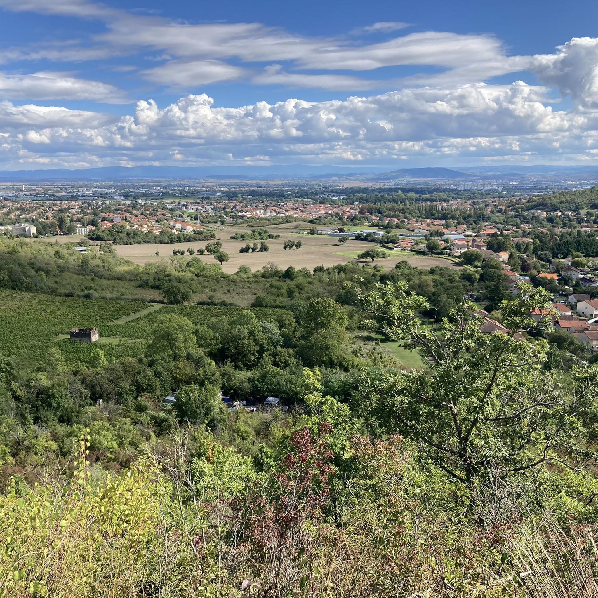
Hiking around Blanzat offers access to diverse landscapes within the Puy-de-Dôme department of central France. The region features varied terrain, including the gentle Bédat river valley, agricultural areas with orchards and vineyards, and elevated plateaus. Hikers can experience views of the Chaîne des Puys, a volcanic chain that includes the prominent Puy de Dôme. The area provides a mix of natural settings and geological formations.
Best hiking trails around Blanzat
- The most popular hiking route is Puy de Dome –…
Last updated: October 12, 2026
4.3
(8)
61
hikers
6.95km
01:55
120m
120m
Easy hike. Great for any fitness level. Easily-accessible paths. Suitable for all skill levels.
4.3
(6)
20
hikers
Easy hike. Great for any fitness level. Easily-accessible paths. Suitable for all skill levels.

4.4
(7)
29
hikers
10.2km
02:53
220m
220m
Moderate hike. Good fitness required. Easily-accessible paths. Suitable for all skill levels.
4.7
(14)
17
hikers
12.6km
03:27
190m
190m
Moderate hike. Good fitness required. Easily-accessible paths. Suitable for all skill levels.
4.0
(2)
4
hikers
5.19km
01:35
170m
170m
Easy hike. Great for any fitness level. Easily-accessible paths. Suitable for all skill levels.
Get access to more routes and recommendations from other explorers.
Already have an account?
Our route recommendations are based on thousands of hikes, rides, and runs completed by other people on komoot.
Start today with a free account
Your next adventure awaits.

Tips from the Community

very beautiful view of Puy de Dome
0
0
very beautiful view of the Puy de Dome
0
0

The Col de Bancillon is a symbolic passage of the GTMC. It is climbed at the end of a steep climb with elevation percentages ranging from 12% to 23%. The arrival at the summit is marked by this emblematic GTMC totem (composed of four white poles).
0
0

1 hour, 11km tour between town and hill
0
0
superb view of the chain of puys
0
0

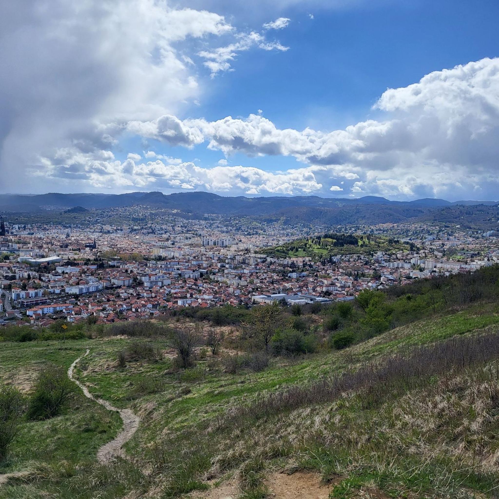
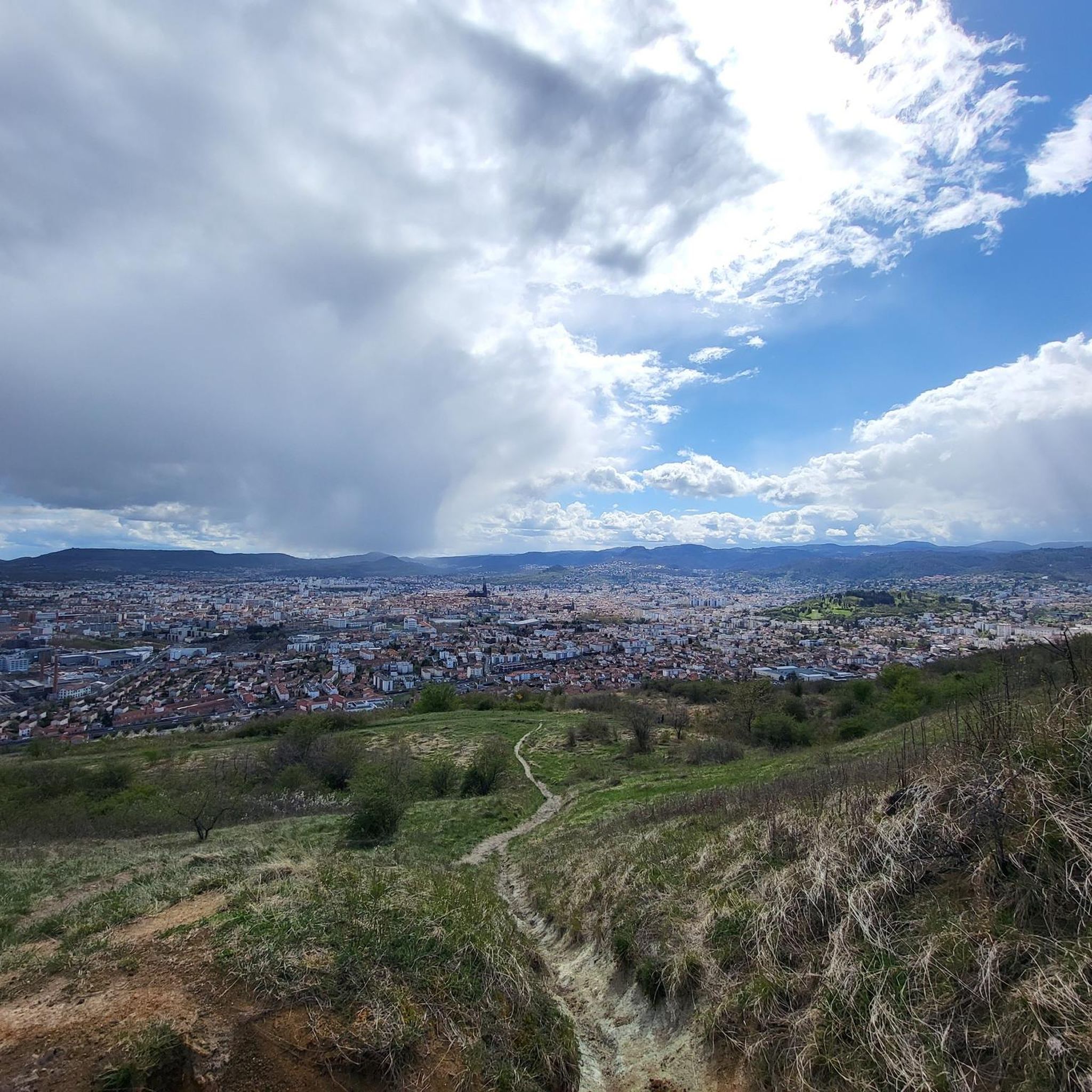
This viewpoint offers a beautiful panorama of the city of Clermont-Ferrand further south.
0
0

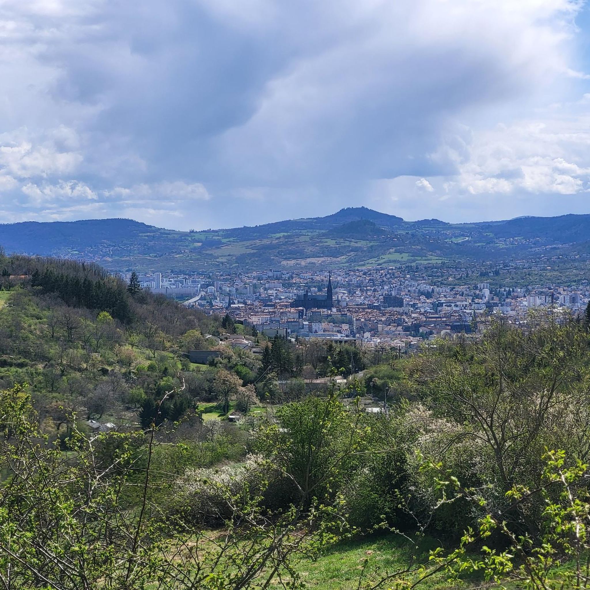
The Côtes de Clermont (a huge basalt flow that formed the entire plateau) are excellent spots for observing Clermont and its cathedral.
0
0
The Col de Bancillon offers lovely views of the center of Clermont and its cathedral.
0
0
Frequently Asked Questions
How many hiking trails are available around Blanzat?
There are over 40 hiking trails around Blanzat, offering a variety of experiences from easy strolls to more challenging routes. The area is well-suited for discovering the diverse landscapes of the Puy-de-Dôme department.
What kind of terrain can I expect on hikes near Blanzat?
Hiking around Blanzat features a rich tapestry of landscapes. You'll find varied terrain including the gentle Bédat river valley, agricultural areas with orchards and vineyards, and elevated plateaus. Many routes offer views of the Chaîne des Puys, a volcanic chain that includes the prominent Puy de Dôme.
Are there any easy hikes suitable for beginners or families in Blanzat?
Yes, Blanzat offers numerous easy hikes perfect for beginners or families. For example, the Puy de Dome – Baden Plateau loop from Blanzat is an easy 6.9 km trail that takes less than 2 hours to complete and offers views towards the volcanic chain. Another option is the View of Clermont-Ferrand – View of Clermont-Ferrand loop from Blanzat, an easy 4.6 km route.
Can I bring my dog on the hiking trails in Blanzat?
Many trails around Blanzat are dog-friendly, allowing you to enjoy the natural beauty with your canine companion. However, it's always recommended to keep your dog on a leash, especially in agricultural areas or near wildlife, and to check local signage for any specific regulations.
Are there any circular hiking routes around Blanzat?
Yes, many of the hiking routes around Blanzat are circular, allowing you to start and end at the same point without retracing your steps. Popular circular options include the Puy de Dome – Baden Plateau loop from Blanzat and the Châteaugay – Baden Plateau loop from Blanzat.
What notable landmarks or viewpoints can I see while hiking in Blanzat?
Hiking in Blanzat offers access to several notable landmarks and viewpoints. You can enjoy panoramic views of the Chaîne des Puys, including the iconic Puy de Dôme. Some trails also offer views of Clermont-Ferrand and its cathedral. Highlights in the wider area include the Puy de Dôme Summit and the Temple of Mercury.
What do other hikers enjoy most about the trails in Blanzat?
The trails in Blanzat are highly rated by the komoot community, with an average score of 4.4 stars from over 500 reviews. Hikers often praise the diverse scenery, which includes volcanic formations, river valleys, and agricultural landscapes, as well as the variety of options for different ability levels.
Are there any historical or cultural points of interest along the trails?
Beyond natural beauty, hiking in Blanzat can also include exploring historical elements. The region has strong ties to viticulture, and you might pass through vineyards or see old winegrowers' houses. The Bédat Valley, for instance, retains remnants of old paper and flour mills. The town of Blanzat itself features heritage sites like the Château de Blanzat and the Saint-Pardoux church.
What is the best time of year to go hiking in Blanzat?
Blanzat is a great destination for hiking throughout much of the year. Spring and autumn offer pleasant temperatures and vibrant scenery, with blooming flowers or colorful foliage. Summer is also popular, though it can be warmer. Winter hikes are possible, but some higher elevation trails might require appropriate gear or be less accessible depending on snow conditions.
Where can I find parking for hiking trailheads near Blanzat?
Parking is generally available near the trailheads in and around Blanzat. Specific parking information can often be found on individual route descriptions on komoot. It's advisable to check the starting point of your chosen trail for the most convenient parking options.
Are there any moderate hikes for those looking for more of a challenge?
Yes, Blanzat offers several moderate hikes for those seeking a bit more challenge. A popular choice is the Châteaugay – Baden Plateau loop from Blanzat, a 12.6 km path that takes about 3 hours and 27 minutes and passes through vineyards with expansive views. Another moderate option is the Small bridge over the Bédat – View of Clermont-Ferrand loop from Blanzat, a 10.2 km trail.
Most popular attractions around Blanzat

Get inspired with the komoot mobile app


Explore more
Browse the best Hikes in other regions.
