The best MTB trails around Contamine-Sur-Arve
4.3
(545)
3,067
riders
184
rides
Mountain biking around Contamine-Sur-Arve offers diverse terrain within the picturesque Arve Valley in France's Haute-Savoie department. The region is characterized by its mountainous landscapes, the flowing Arve River, and a network of accessible trails. Riders can expect a mix of riverside paths, forest sections, and routes with views of the surrounding peaks.
Best mountain bike trails around Contamine-Sur-Arve
- The most popular mountain bike trail is Ponds on the banks of the Arve – Arve Path loop from Arenthon, a…
Last updated: July 10, 2026
4.4
(34)
165
riders
35.4km
02:32
100m
100m
Moderate mountain bike ride. Good fitness required. Suitable for all skill levels.
3.7
(6)
30
riders
29.4km
02:42
730m
730m
Moderate mountain bike ride. Good fitness required. Advanced riding skills necessary.

Sign up for free
3.6
(16)
38
riders
38.5km
04:00
1,190m
1,190m
Hard mountain bike ride. Very good fitness required. Advanced riding skills necessary.
4.1
(7)
32
riders
44.0km
03:20
290m
290m
Moderate mountain bike ride. Good fitness required. Suitable for all skill levels.
4.7
(3)
20
riders
24.3km
02:23
690m
690m
Moderate mountain bike ride. Good fitness required. Suitable for all skill levels.
Get access to more routes and recommendations from other explorers.
Sign up for free
Already have an account?
Our route recommendations are based on thousands of hikes, rides, and runs completed by other people on komoot.
Start today with a free account
Your next adventure awaits.
Login or Signup


Tips from the Community

Don't be afraid to carry your mountain bike 😂
0
0

The Church of Saint Andrew in Saint-André-de-Boëge is a French Catholic church located in the Haute-Savoie department, in the commune of Saint-André-de-Boëge. An earlier church is documented dating back to around the 12th century. The church was built between 1855 and 1858[1]. It was constructed in a Sardinian Neoclassical style. In 1987, the building was completely renovated and the paintings were redone.
0
0
Intersection point of the Vouan Forest Road, Altitude 664m
1
0
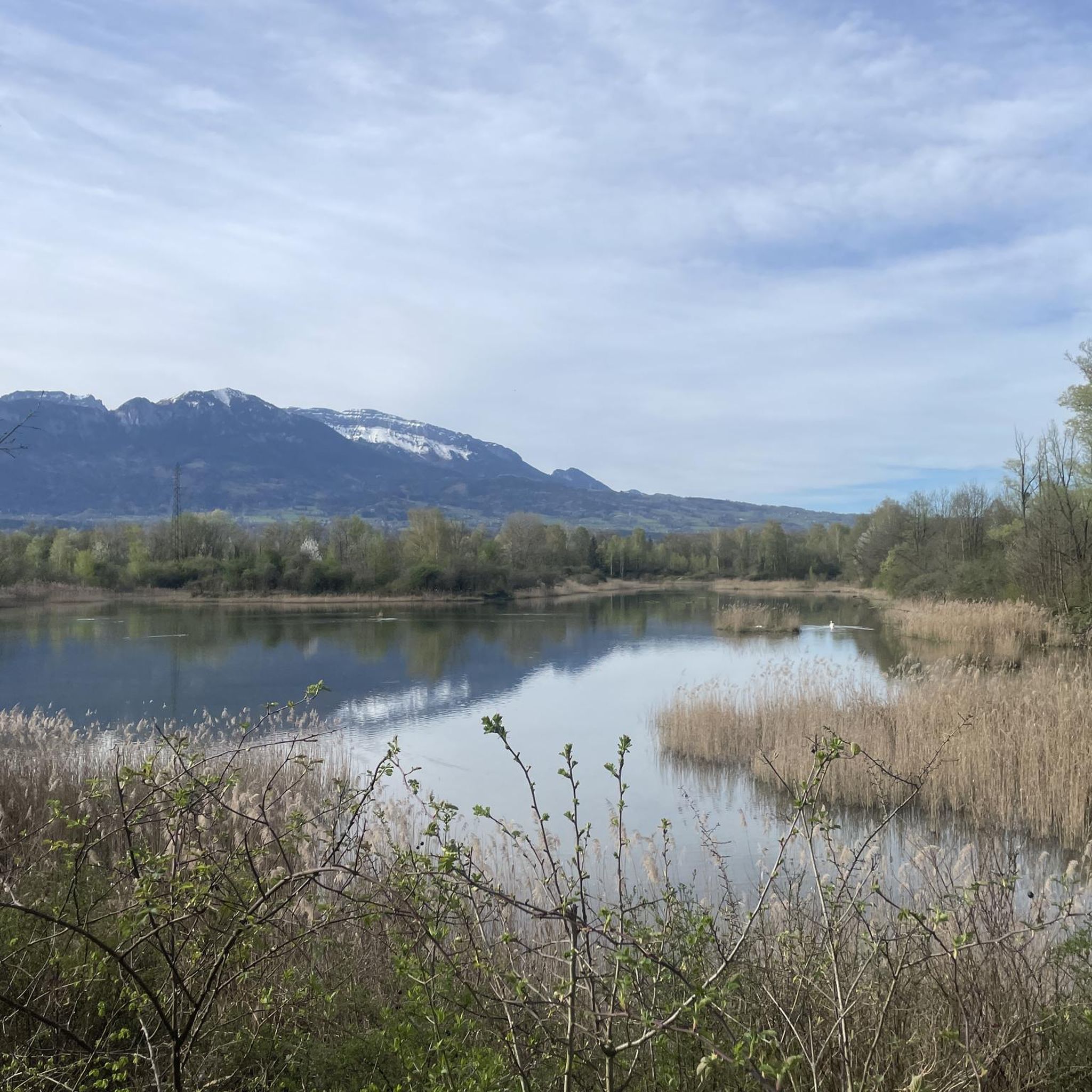
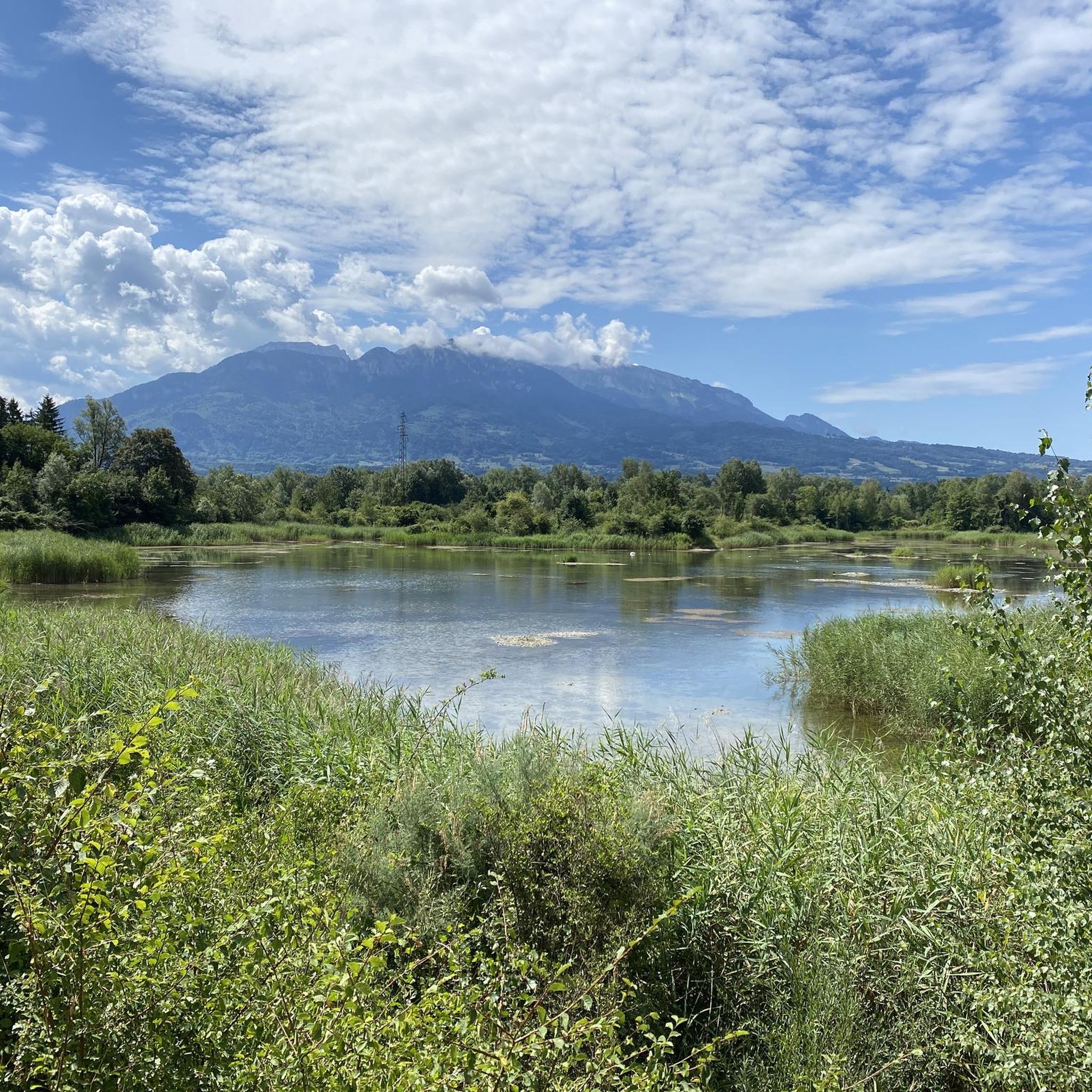
Intersection Point: La Gouille aux Morts (Pond of the Dead) Altitude 650m Gouille aux Morts: What an ugly name for this charming little pond. Beavers, mallards, herons, and especially frogs take shelter in its tall grass and breed there. The place is calm and peaceful, far from the road to the Vallée Verte (Green Valley), although you can still hear the sounds of traffic. Above it, the Molière à Vachat stream is mirrored in its waters. Its reflection blends with the water lilies scattered there, creating perfect harmony. A delight for the eye of the walker. It's impossible not to think of Monet's "Water Lilies." It is said that, long ago, two stonemasons working at the "Molière," located about fifty meters above, fell to their deaths there on a Sunday (yes, a Sunday...the Lord's Day). See: H. Savoie: Les Molières du Mont Vouan. Or perhaps the pond got its name because a peasant was swallowed up there with his cart...
1
0
Intersection point Sous Grande Gueule Altitude 700m
1
0
Boisinges intersection (Roman road) Altitude 700m
1
0
Frequently Asked Questions
How many mountain bike trails are available around Contamine-Sur-Arve?
There are over 160 mountain bike trails around Contamine-Sur-Arve. These routes cater to various skill levels, with 23 easy, 85 moderate, and 53 difficult trails.
What kind of terrain can I expect when mountain biking in Contamine-Sur-Arve?
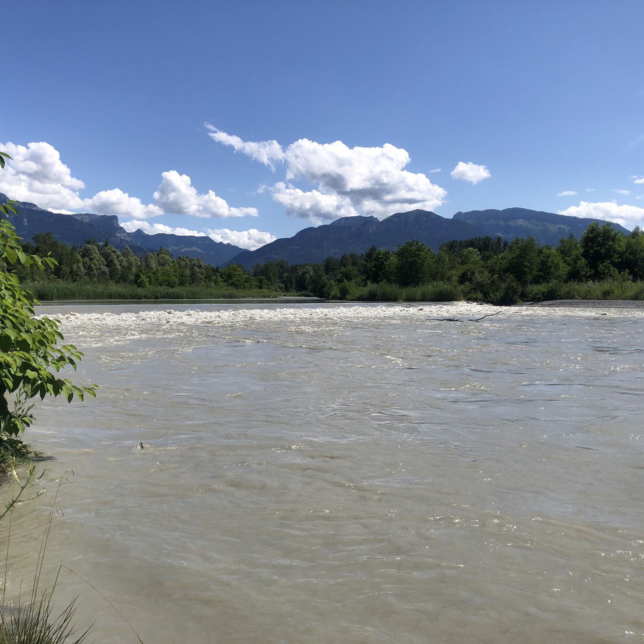
The terrain around Contamine-Sur-Arve is diverse, featuring picturesque mountainous landscapes, sections along the Arve River, and a mix of forest paths. You'll find everything from gentle valley rides to more challenging ascents with significant elevation gain, offering views of the surrounding peaks like the Bornes massif and Mont-Blanc.
Are there any family-friendly mountain bike trails in Contamine-Sur-Arve?
Yes, there are several family-friendly options, particularly along the Arve River. These paths are generally less challenging and offer a pleasant experience for all ages. Look for trails categorized as 'easy' in the area.
Can I bring my dog on the mountain bike trails?
Many trails in the Contamine-Sur-Arve region are suitable for dogs, especially those along the Arve River paths. However, it's always recommended to check local regulations or specific trail signage for any restrictions, and ensure your dog is well-behaved and on a leash where required.
Are there any circular mountain bike routes available?
Yes, many routes around Contamine-Sur-Arve are designed as loops. For example, the Ponds on the banks of the Arve – Arve Path loop from Arenthon offers a moderate 35.4 km ride, and the Col de Réray – Arve Path loop from Bonne is a longer 41.7 km moderate loop with significant elevation.
What natural features or landmarks can I see along the mountain bike trails?
The trails often follow the Arve River, offering views of local flora and fauna. You might also encounter the beautiful Ilettes lakes and the impressive Arpenaz waterfall, especially on routes like the Arv'vélo. The region is also characterized by prominent mountains such as Le Môle, and you can find highlights like La Gouille aux Morts or Ponds on the banks of the Arve.
What do other mountain bikers say about the trails in Contamine-Sur-Arve?
The mountain bike trails in Contamine-Sur-Arve are highly rated by the komoot community, with an average score of 4.3 stars from over 440 reviews. Riders often praise the diverse terrain, scenic riverside paths, and the stunning views of the surrounding mountainous landscapes.
Are there any trails that offer viewpoints of the region?
Absolutely. Many routes provide magnificent viewpoints of the Bornes massif and Mont-Blanc. For example, the path 'Les Bords de l'Arve' from Gaillard to Arthaz is known for its scenic vistas. You can also find specific viewpoints like View of Geneva and Lake Geneva.
What is the best time of year for mountain biking in Contamine-Sur-Arve?
The region's mountain climate makes it suitable for outdoor activities for much of the year. Spring through autumn generally offers the most favorable conditions for mountain biking, with pleasant temperatures and accessible trails. Always check local weather forecasts before heading out.
Are there any specific routes that explore ridges or offer more challenging ascents?
Yes, for those seeking more challenging terrain, routes like La Gouille aux Morts – Meulières and Vouan ridges loop from Bonne offer varied terrain with significant elevation gain and lead through ridges, providing a more demanding experience.
Is there parking available at the trailheads?
While specific trailhead parking information varies by route, Contamine-Sur-Arve and nearby communes generally offer parking options. It's advisable to check the starting point of your chosen route for the most convenient parking facilities.
Can I access the mountain bike trails using public transport?
The Arve Valley has public transport options that can help with access. For detailed information on bus routes or train connections to specific starting points, it's best to consult local public transport schedules for the Haute-Savoie department.
Most popular routes around Contamine-Sur-Arve
Most popular attractions around Contamine-Sur-Arve

Get inspired with the komoot mobile app


Explore more
Browse the best MTB trails in other regions.
