The best running trails around La Rivière-Enverse
4.4
(147)
9,947
runners
393
runs
Jogging around La Rivière-Enverse offers diverse natural environments in the Haute-Savoie department. The region is characterized by the Giffre Valley, providing varied terrain from 619m to 1320m, suitable for different running intensities. Runners can explore a network of trails that wind through picturesque hamlets, past historical chapels, and offer views of surrounding mountains like Marcelly, Criou, and Tuet. This area provides a rich setting for outdoor activities, including numerous running routes.
Best jogging routes around La Rivière-Enverse
- The most popular…
Last updated: July 10, 2026
4.4
(5)
181
runners
14.3km
01:32
60m
60m
Moderate run. Good fitness required. Mostly paved surfaces. Suitable for all skill levels.
5.0
(1)
69
runners
8.47km
01:07
210m
210m
Moderate run. Good fitness required. Mostly paved surfaces. Suitable for all skill levels.

Sign up for free
88
runners
13.2km
01:24
60m
60m
Moderate run. Good fitness required. Mostly paved surfaces. Suitable for all skill levels.
40
runners
17.8km
01:57
90m
90m
Hard run. Very good fitness required. Mostly paved surfaces. Suitable for all skill levels.
81
runners
30.4km
03:22
170m
170m
Hard run. Very good fitness required. Sure-footedness, sturdy shoes and alpine experience required.
Get access to more routes and recommendations from other explorers.
Sign up for free
Already have an account?
Our route recommendations are based on thousands of hikes, rides, and runs completed by other people on komoot.
Start today with a free account
Your next adventure awaits.
Login or Signup


Tips from the Community

Wooden bridge over the Griffe River.
1
0
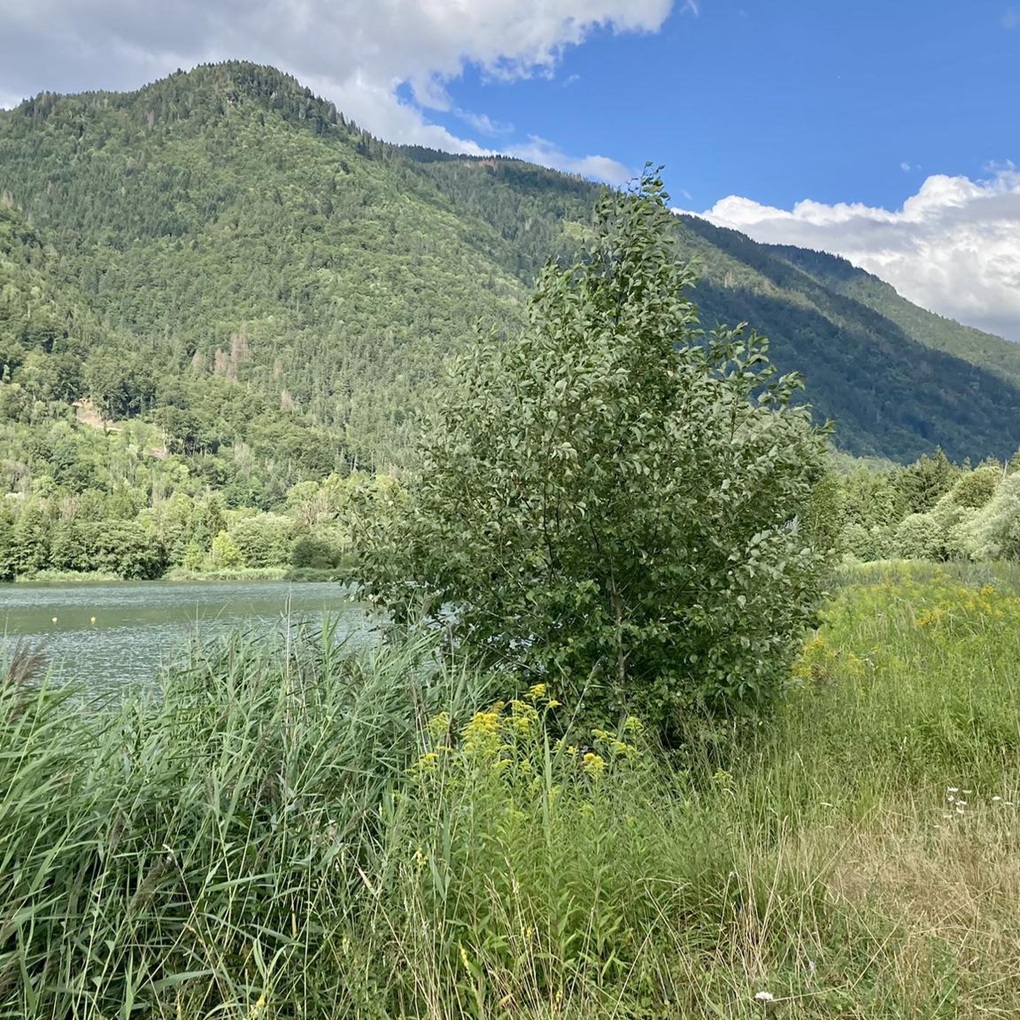
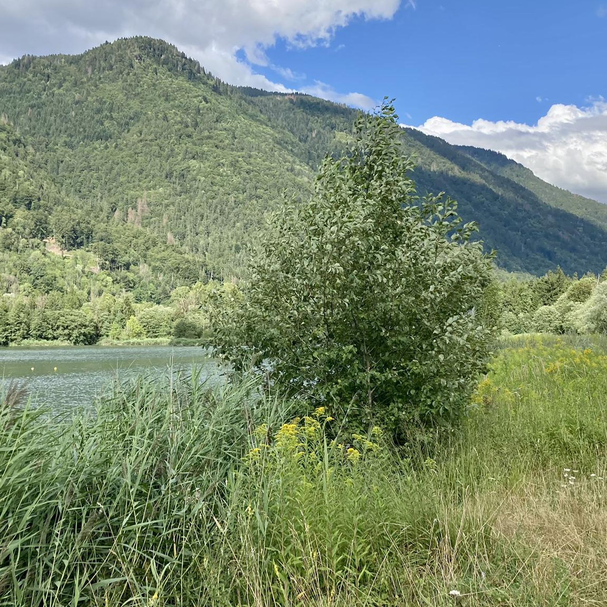
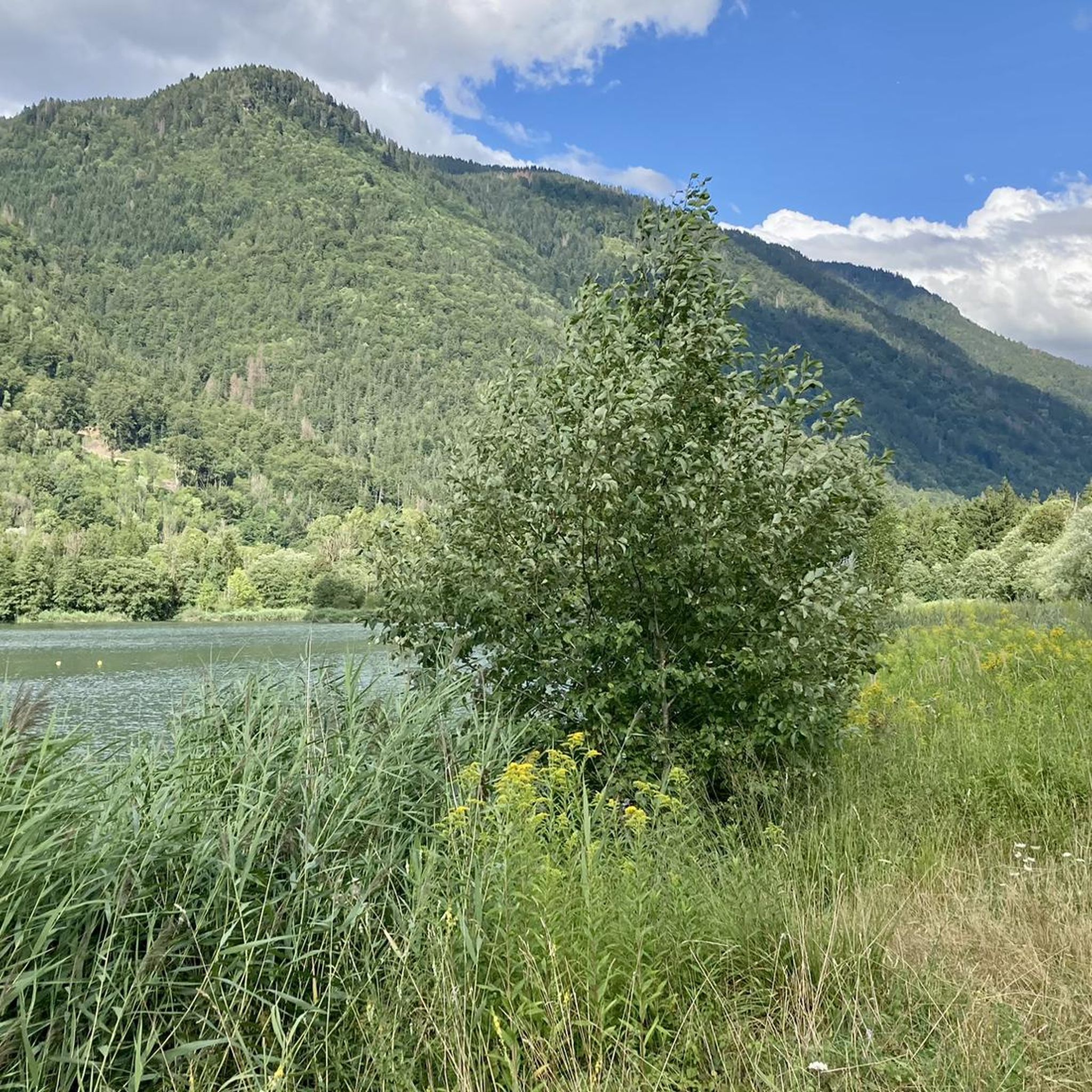
Beautiful hidden lake on the outskirts of Taninges
1
0

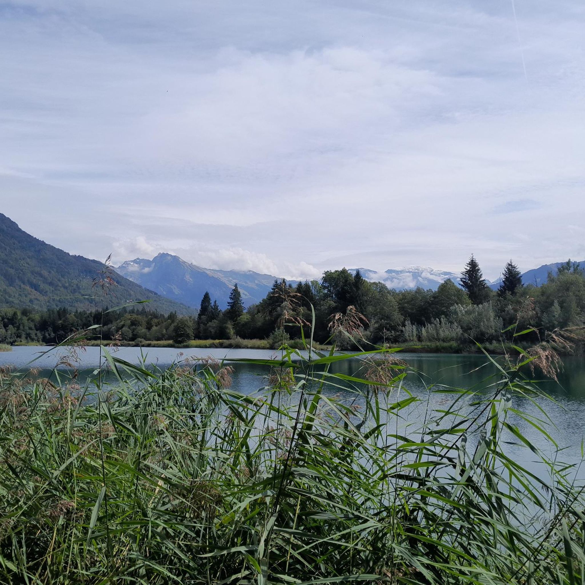
Magnificent panorama along the wild river on the fir forests and the imposing peaks of the Alps. A walk along the Giffre allows you to discover the superb Lac Bleu and the Vernay footbridge.
1
0


Point of intersection Pont du Giffre Altitude 698m
0
1

Spot indicating how the Giffre river was developed
0
0
Footbridge which allows you to cross the Giffre towards Samoens
1
0
Sculpture that can be discovered along the Giffre as far as Morillon
1
0
Frequently Asked Questions
How many running routes are available in La Rivière-Enverse?
La Rivière-Enverse offers a wide selection of running routes, with over 380 trails available for exploration. These routes cater to various preferences, including easy, moderate, and difficult options.
Are there running routes suitable for beginners or those looking for an easy jog?
Yes, La Rivière-Enverse has 24 easy running routes, perfect for beginners or those seeking a relaxed jog. These paths often feature gentler terrain, allowing you to enjoy the lush natural environment without significant challenges.
What kind of scenic views can I expect on runs around La Rivière-Enverse?
Runners in La Rivière-Enverse can enjoy magnificent mountain views, including peaks like Marcelly, Criou, and Tuet. Many routes wind through picturesque hamlets and past historical chapels. You can also find trails that offer views of beautiful lakes, such as Lake Vernays, or explore the varied landscapes of the Giffre Valley.
Are there any circular running routes in the area?
Absolutely. Many of the running routes around La Rivière-Enverse are circular, allowing you to start and finish at the same point. An example is the Lac des Vernays – Giffre River loop from Taninges, a moderate 8.9-mile (14.3 km) trail that follows the Giffre River and passes Lac des Vernays. Another option is the Lac des Vernays – Lake Vernays loop from La Rivière-Enverse.
What do other runners enjoy most about the trails in La Rivière-Enverse?
The running trails in La Rivière-Enverse are highly rated by the komoot community, with an average score of 4.4 stars from over 140 reviews. Runners frequently praise the diverse natural environments, the magnificent mountain views, and the well-connected network of trails that allow exploration of hamlets and natural features.
Can I find routes that pass by lakes or other water features?
Yes, the region is home to several beautiful lakes. The Lac des Vernays – Giffre River loop from Taninges is a popular choice that passes by Lac des Vernays. Other notable lakes in the vicinity include Refuge du Lac de Gers and Lac de Gers and Ladies' Lake, which may be accessible via various running paths.
Are there any challenging running routes with significant elevation gain?
For those seeking a challenge, La Rivière-Enverse offers 204 difficult running routes. These routes can feature significant elevation changes, with terrain ranging from 619m to 1320m, providing invigorating uphill sections and rewarding mountain views. An example is the Taninges Town Center – View of the Mont Blanc Massif loop from Taninges, which includes substantial elevation gain.
What is the terrain like on the running trails in La Rivière-Enverse?
The terrain in La Rivière-Enverse is quite varied, reflecting its location in the Giffre Valley. You'll find everything from gentle riverside paths to more challenging uphill routes with varied surfaces. The area's natural features include valleys, mountains, and a network of trails that can be adapted for different running intensities.
Are there any less crowded running options for a peaceful experience?
While specific crowd levels can vary, exploring some of the less-trafficked hamlets or trails further from the main village centers might offer a more peaceful running experience. The extensive network of trails means you can often find quieter paths, especially during off-peak hours or seasons.
Can I combine running with exploring nearby attractions?
Yes, the region around La Rivière-Enverse is rich in natural beauty and points of interest. Many running routes offer views of or access to areas near attractions like the spectacular Cirque du Fer-à-Cheval. You can also find routes that pass close to various lakes, such as Lake Flaine or Joux Plane Lake, allowing you to combine your run with sightseeing.
Is there public transport available to access trailheads in the Montagnes du Giffre area?
During the summer, the 'Rando'bus' service operates in the Montagnes du Giffre, providing a convenient shuttle for hikers. This service could also be beneficial for runners looking to access trailheads further afield or plan point-to-point routes without needing to retrace their steps.
Are there any moderate-difficulty running routes that offer varied terrain?
Yes, there are 152 moderate running routes in La Rivière-Enverse. A popular choice is the Table de l'artoche – Intersection Le Mottal loop from Saint-Sigismond, which is an 8.5 km (5.3 miles) path known for its varied terrain and scenic views, making it a favorite among local runners.
Most popular routes around La Rivière-Enverse
Most popular attractions around La Rivière-Enverse

Get inspired with the komoot mobile app


Explore more
Browse the best Running Trails & Routes in other regions.
