The best walks and hikes around Faucigny
4.6
(503)
5,565
hikers
177
hikes
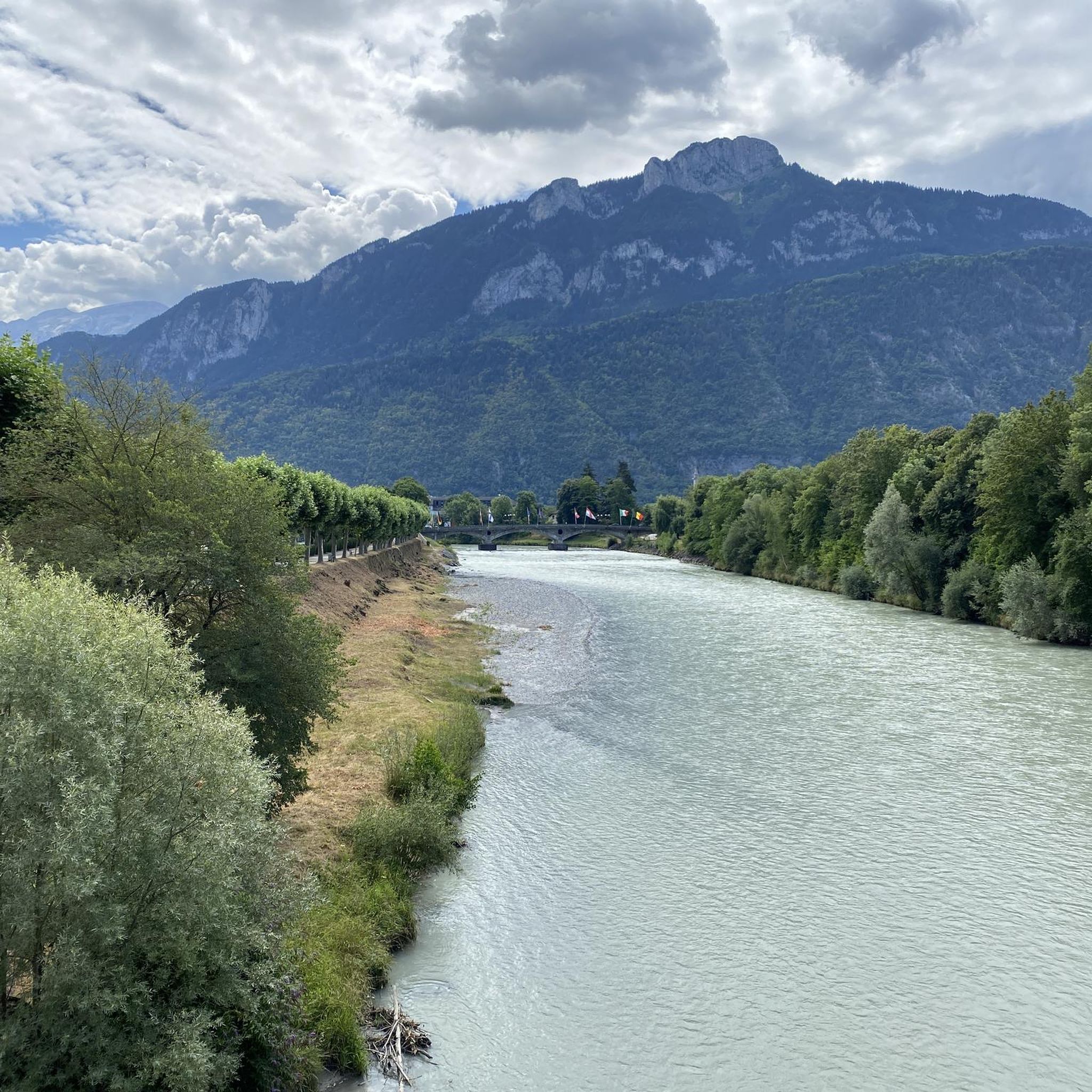
Hiking around Faucigny offers access to diverse alpine landscapes within the Haute-Savoie department. The region is characterized by the Arve and Giffre Valleys, surrounded by significant mountain massifs like The Mole and Roc d'Enfer. Hikers encounter varied terrain, from low-lying agricultural areas to rugged mountainous paths, forests, and vibrant alpine meadows. This setting provides a range of hiking experiences, from riverside walks to challenging ascents.
Best hiking trails around Faucigny
- The most popular hiking route is Marcellaz Contour 1 loop…
Last updated: July 11, 2026
4.8
(5)
34
hikers
8.44km
02:19
140m
140m
Moderate hike. Good fitness required. Easily-accessible paths. Suitable for all skill levels.
4.7
(3)
10
hikers
3.06km
01:17
190m
190m
Moderate hike. Great for any fitness level. Mostly accessible paths. Sure-footedness required.

Sign up for free
3.0
(1)
14
hikers
7.74km
02:49
340m
340m
Moderate hike. Good fitness required. Mostly accessible paths. Sure-footedness required.
9
hikers
5.54km
01:39
170m
170m
Easy hike. Great for any fitness level. Easily-accessible paths. Suitable for all skill levels.
6
hikers
2.05km
00:31
10m
10m
Easy hike. Great for any fitness level. Easily-accessible paths. Suitable for all skill levels.
Get access to more routes and recommendations from other explorers.
Sign up for free
Already have an account?
Our route recommendations are based on thousands of hikes, rides, and runs completed by other people on komoot.
Start today with a free account
Your next adventure awaits.
Login or Signup
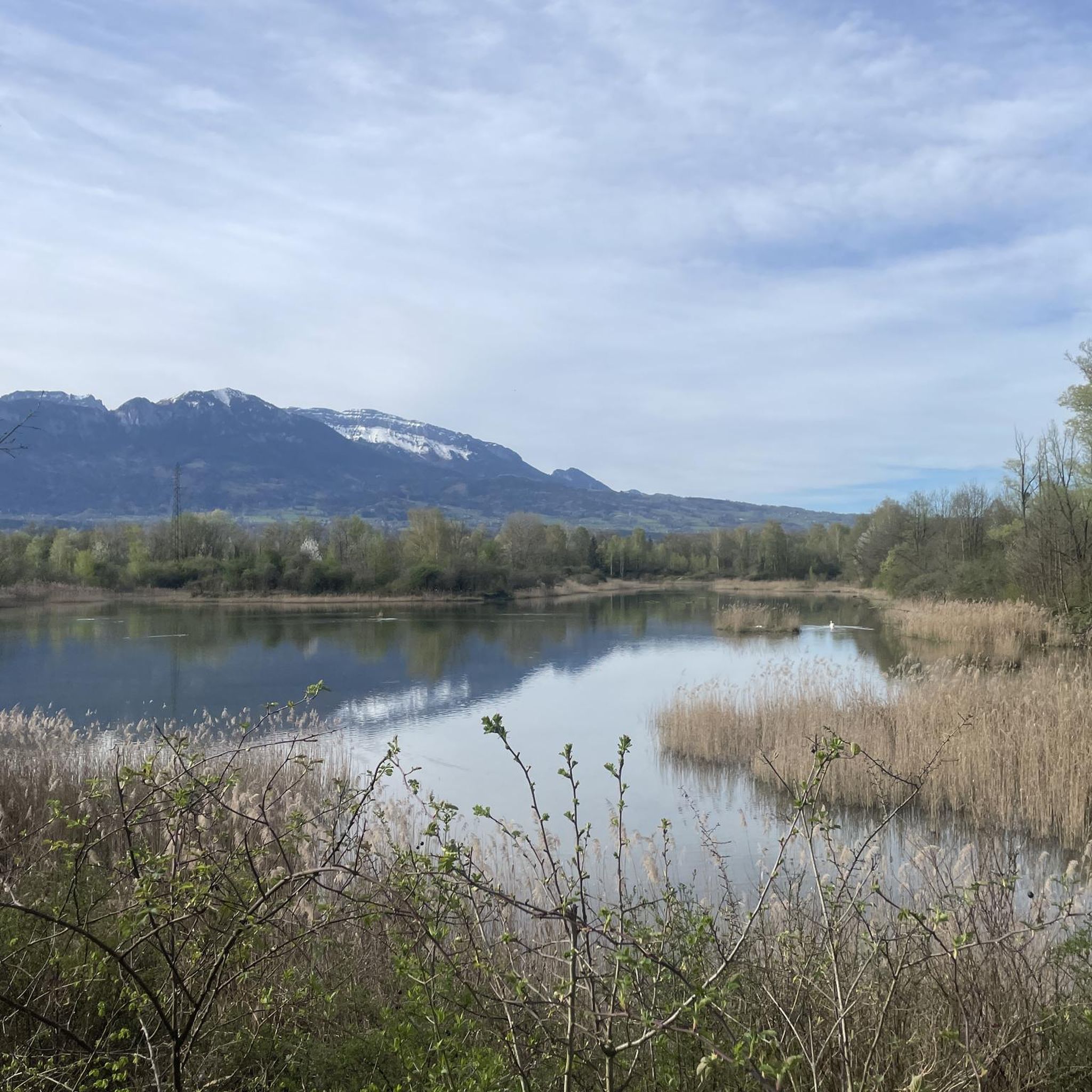
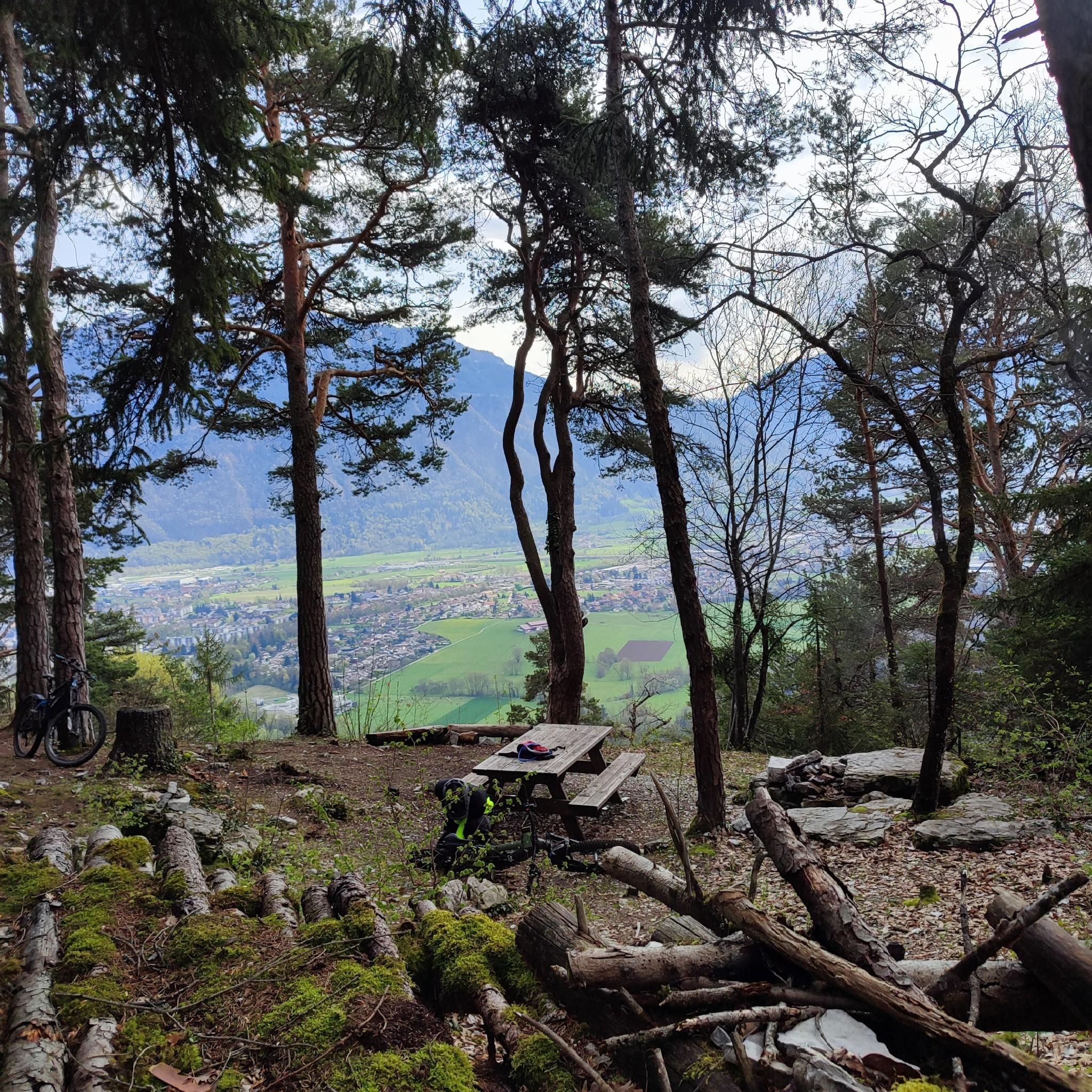
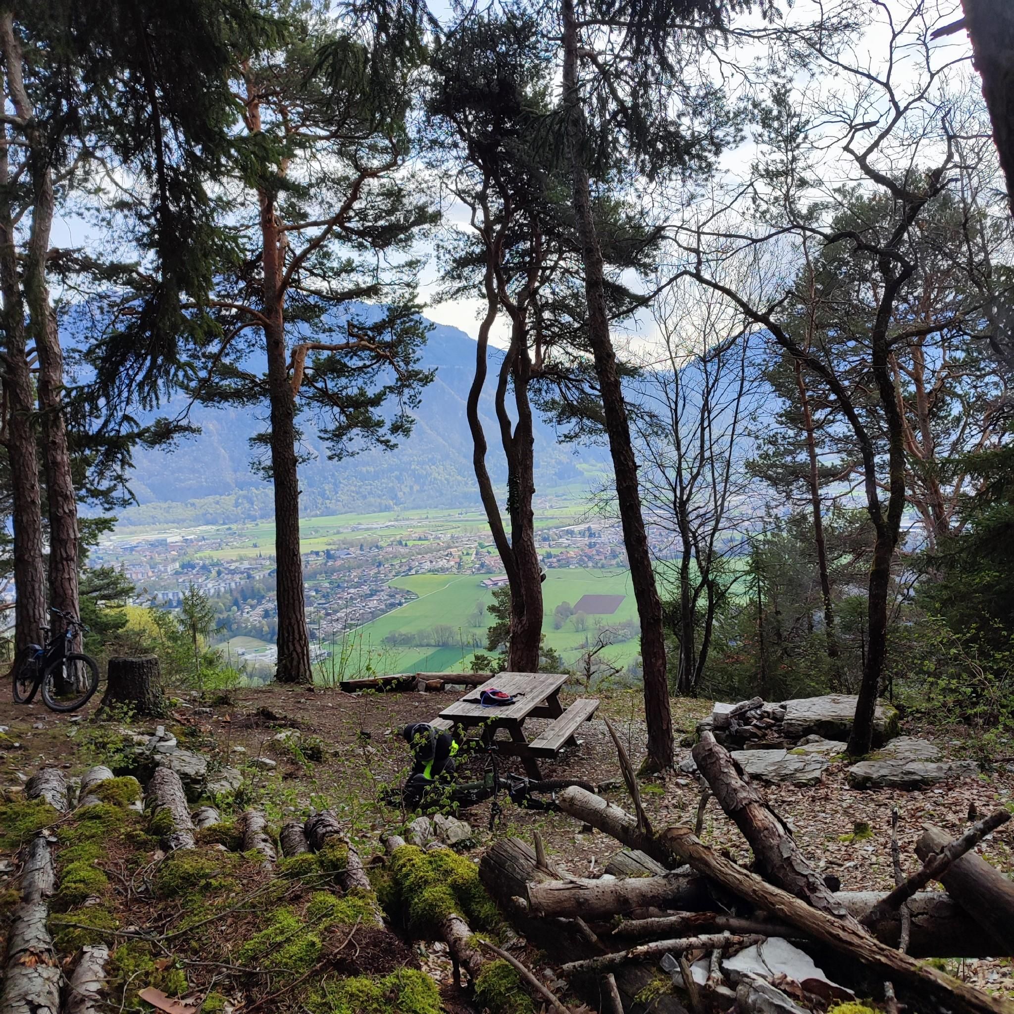
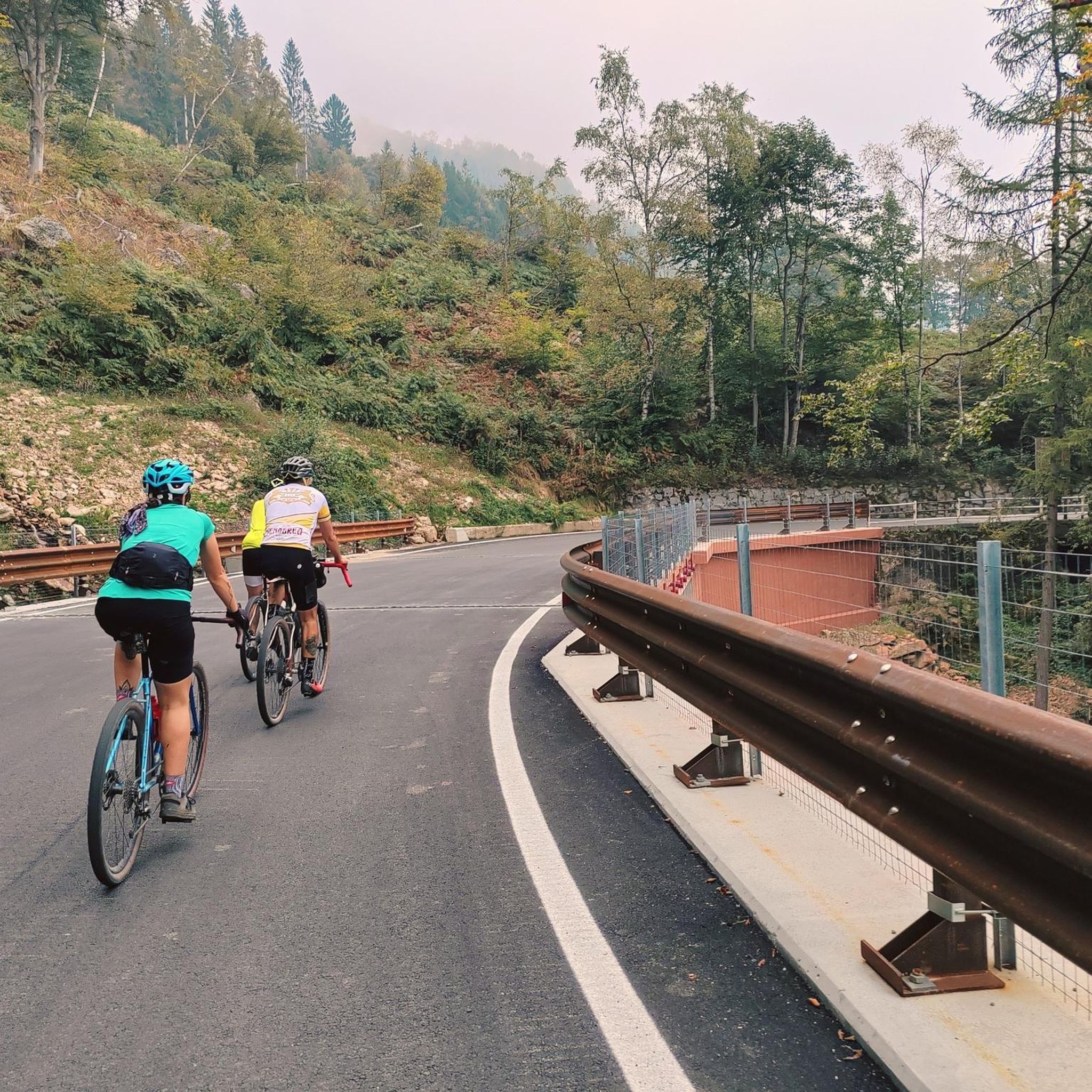
Tips from the Community

The tour certainly includes portions of pushing, particularly when it comes to reaching the Ecutieux chalets, but the landscapes are magnificent (view of Lake Geneva, wild mountain pastures) Once you arrive at the summit it is almost 8km descent, technical and varied to go back down to Bonneville
0
0

Small Stations of the Cross offering a magnificent view of the Arve valley
0
0

Nice pass on a “ridge” path (even if you don’t really realize it). Bel AR to the Môle (and the head of the ecutieux) for the brave
0
0

I liked this tour: Annemasse, Bonneville, Cluses, Mt Saxonnex, St Pierre 2023_06_08 https://www.komoot.de/tour/1158397533
1
0

Nice pass to discover but the view is not incredible. I recommend continuing the hike to the big castle (the mountain right next to it). It's a bit uphill but from the top the view is much better
0
0

The Col de Réray is the crossing point located at an altitude of 930m which makes the link between the Arve valley and the Risse and Giffre valleys.
1
0

No special equipment, for easy access, take the small zigzag path on the left side
1
0
Frequently Asked Questions
How many hiking trails are available around Faucigny?
Faucigny offers a wide variety of hiking experiences, with over 160 routes available. These range from easy riverside strolls to more challenging mountain ascents, catering to all levels of hikers.
Are there easy hiking trails suitable for beginners or families in Faucigny?
Yes, Faucigny has numerous easy trails perfect for beginners and families. For instance, the Ponds on the banks of the Arve loop from Maison d'arrêt de Bonneville is an easy 3.8 km path along the Arve River. Another gentle option is the Hiking loop from Saint-Jean-de-Tholome, which is 5.5 km long.
Can I find circular hiking routes in the Faucigny area?
Many of the trails around Faucigny are designed as circular routes, allowing you to start and end at the same point. A popular moderate option is the Marcellaz Contour 1 loop from Peillonnex, offering scenic views over 8.4 km. For a shorter, moderate loop, consider the Cascade du Dard loop from Bonneville.
Are there any waterfalls to visit on hikes near Faucigny?
Yes, the region features beautiful waterfalls. The Cascade du Dard loop from Bonneville leads directly to the picturesque Cascade du Dard. The wider area also includes cascades like Cascade de la Diomaz, offering refreshing destinations for walkers.
What kind of natural landmarks or viewpoints can I expect to see while hiking?
Faucigny's alpine setting provides many natural landmarks and panoramic viewpoints. You can hike to summits like Le Môle summit cross or Pointe d'Andey for breathtaking vistas. Mountain passes such as Col de Réray also offer scenic experiences and connections between valleys.
Are there any lakes accessible by hiking in Faucigny?
Yes, the region is home to several picturesque lakes. While hiking, you might encounter La Gouille aux Morts. Further afield, the superb alpine Lac de Lessy at 1,730 meters is a notable destination, and the famous Lac d'Annecy is also within reach.
What do other hikers enjoy most about the trails in Faucigny?
The hiking trails in Faucigny are highly rated by the komoot community, with an average score of 4.6 stars from over 400 reviews. Hikers often praise the diverse alpine landscapes, the variety of routes from riverside walks to mountain paths, and the stunning views of the Arve and Giffre Valleys.
Are there challenging mountain hikes for experienced hikers?
Absolutely. Faucigny is surrounded by significant mountain ranges like The Mole and Roc d'Enfer, offering challenging ascents and panoramic views. Out of 161 routes, 26 are classified as difficult, providing ample opportunities for experienced hikers seeking more strenuous adventures.
What kind of wildlife might I encounter on the trails?
The unspoiled natural environment around Faucigny is rich in wildlife. Hikers may spot ibexes, chamois, marmots, and even bearded vultures, particularly in protected areas and nature reserves within the alpine territory.
Can I access hiking trailheads in Faucigny using public transport?
While specific public transport details for every trailhead vary, Faucigny's location within the Haute-Savoie department means that larger towns like Bonneville, which serve as starting points for some routes, are generally accessible by regional public transport. It's advisable to check local bus schedules for connections to specific villages or trailheads.
Are there any historical sites or cultural attractions to explore while hiking?
Yes, the region blends natural beauty with historical interest. The ruins of Faucigny Castle, perched on a rocky promontory overlooking the Arve, are a significant historical landmark and can be integrated into a hike, such as the 'Faucigny Loop trail'.
Most popular routes around Faucigny
Most popular attractions around Faucigny

Get inspired with the komoot mobile app


Explore more
Browse the best Hikes in other regions.
