The best MTB trails around Chambœuf
4.3
(752)
2,902
riders
277
rides
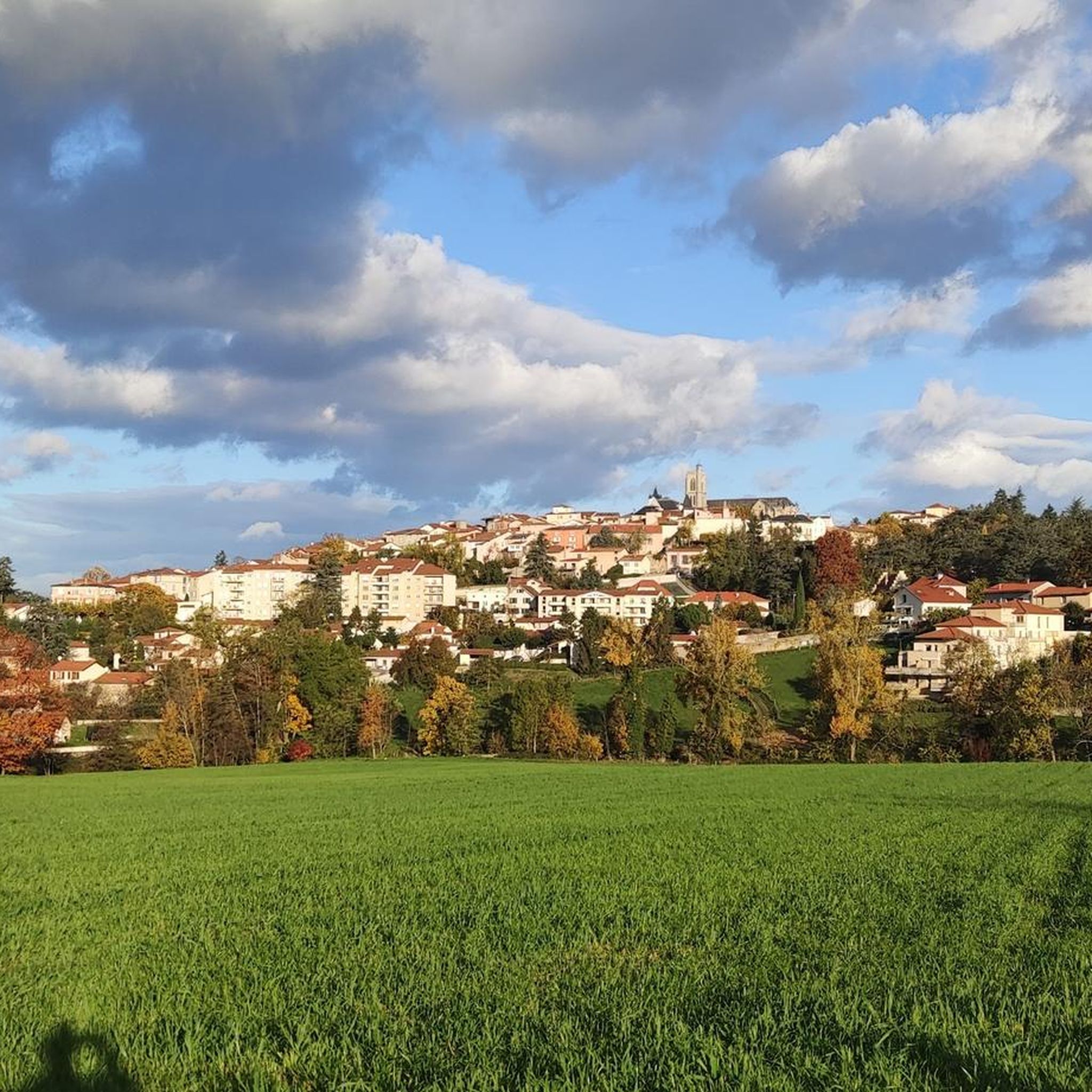
Mountain bike trails around Chambœuf are primarily found within the adjacent Pilat Regional Natural Park, a vast area characterized by diverse landscapes. The commune itself features a mix of open agricultural plateaus and four smaller forested hills, including Bois des Bruyères and Bois de Boutière. Terrain ranges from 366 to 545 meters in elevation within the commune, with the broader region offering significant elevation changes up to peaks like Crêt de la Perdrix (1,431 m). This combination provides varied terrain…
Last updated: November 1, 2026
4.6
(12)
29
riders
31.4km
02:36
570m
570m
Moderate mountain bike ride. Good fitness required.
4.7
(3)
19
riders
Moderate mountain bike ride. Good fitness required. Advanced riding skills necessary.

4.5
(4)
19
riders
35.4km
02:55
580m
580m
Moderate mountain bike ride. Good fitness required.
4.2
(5)
25
riders
Moderate mountain bike ride. Good fitness required. Advanced riding skills necessary.
4.0
(1)
14
riders
24.6km
02:03
440m
440m
Moderate mountain bike ride. Good fitness required. Advanced riding skills necessary.
Get access to more routes and recommendations from other explorers.
Already have an account?
Our route recommendations are based on thousands of hikes, rides, and runs completed by other people on komoot.
Start today with a free account
Your next adventure awaits.


Tips from the Community

Nice little paths in the undergrowth with small bumps to take off the mountain bikes with the children.
0
0

Currently impossible to climb without setting foot on the ground. Large stones and cracks following the bad weather of the last few days
0
0

Difficult and changeable climb, the path deepens with the rains. Nice but technical downhill
0
0

Good climb with nice view at the top
0
0
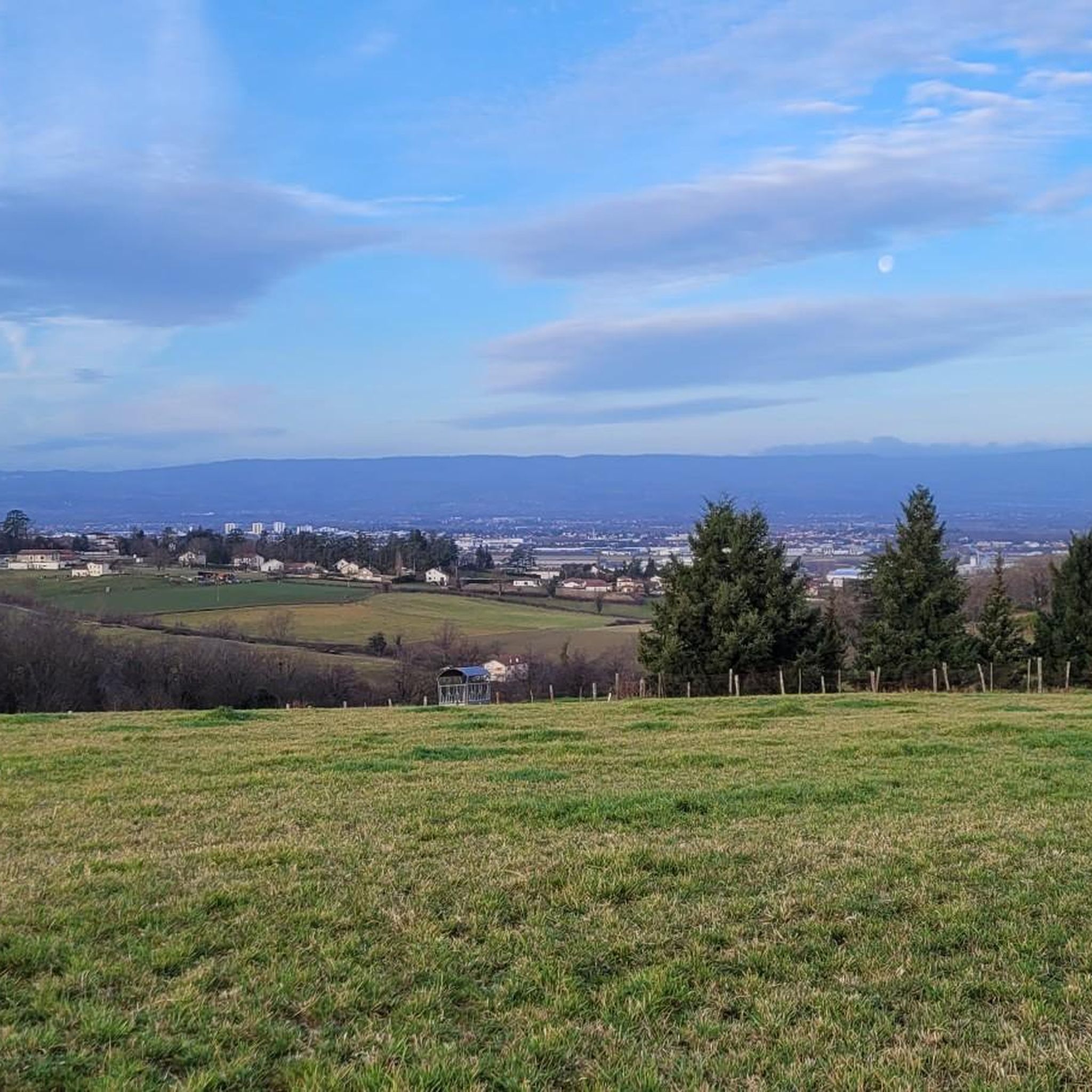
Superb view of the plain and the quarry
0
0
technical climb and physically hard, but beautiful panoramas
0
0
Magnificent panoramic view
0
0

Abrupt and some small technical passages. Slope 14%. essential in mountain biking around Sorbiers La Talaudière. beautiful panorama as a reward at the top.
1
0
Frequently Asked Questions
How many mountain bike trails are available around Chambœuf?
The area around Chambœuf, particularly within the Pilat Regional Natural Park, offers a wide selection of mountain biking routes. Komoot lists over 280 mountain bike trails, catering to various skill levels.
What are the different difficulty levels for mountain bike trails in this region?
The trails in the Pilat Regional Natural Park are certified by the French Cycling Federation (FFC) and are graded by difficulty: green (easy), blue (moderate), red (difficult), and black (very difficult). Komoot offers 50 easy, 190 moderate, and 47 difficult mountain bike routes around Chambœuf, ensuring options for all skill levels.
Are there any family-friendly mountain bike trails near Chambœuf?
Yes, the Pilat Regional Natural Park offers family-friendly routes. These trails are generally less technical and have gentler climbs, making them suitable for riders of all ages. Look for routes graded 'green' or 'easy' on komoot for the most suitable options.
What kind of terrain can I expect on the mountain bike trails?
You can expect a diverse range of terrain, including single tracks, wide paths, and both fast and technical descents. The routes also feature challenging or rolling climbs through varied landscapes, from fir and beech forests to expansive pastures and vine-covered hillsides.
Are there any mountain bike trails that offer panoramic views?
Absolutely. Routes leading to high points like Crêt de la Perdrix (1,431 m) and Crêt de l'Oeillon (1,233 m) offer significant elevation gain and reward riders with breathtaking panoramic views. From Crêt de la Perdrix, you can often see from Mont-Blanc to Diois, while Crêt de l'Oeillon provides superb views of the Rhône Valley and the distant Alps.
What is the best time of year for mountain biking around Chambœuf?
The Pilat Regional Natural Park offers a rich and constantly changing natural backdrop that evolves with the seasons. Spring and autumn generally provide pleasant temperatures and vibrant scenery. While some trails might be accessible in winter, conditions can vary, especially at higher elevations, so checking local conditions is advisable.
Are there any circular mountain bike routes available?
Yes, many of the mountain bike trails around Chambœuf are designed as loops. For example, you can explore routes like The Madonnas – Monts du lyonnais sud loop from Veauche-Saint-Galmier, which offers a moderate 19.8-mile path through varied terrain, or the more technical Single bien technique – View of Saint-Étienne loop from Veauche-Saint-Galmier.
What can I see along the mountain bike trails or nearby?
Beyond the natural beauty of the Pilat Regional Natural Park, you can find several interesting points. Highlights include the Ascent of Mont Morin, the scenic bords de Loire Rivas-Montrond, and the historic Montrond-les-Bains Castle. The Hurongues Pond also offers a pleasant natural spot.
Is there parking available near the mountain bike trails?
While specific parking details vary by trail, the Pilat Regional Natural Park is well-equipped for visitors. Many trailheads and popular starting points within the park, such as those around Veauche-Saint-Galmier, typically offer designated parking areas for outdoor enthusiasts. It's always a good idea to check the starting point of your chosen route for specific parking information.
What do other mountain bikers enjoy most about mountain biking in Chambœuf?
The area is highly rated by the komoot community, with an average score of 4.3 stars from over 600 reviews. Reviewers often praise the diverse landscapes of the Pilat Regional Natural Park, the variety of trails for all skill levels, and the stunning panoramic views from peaks like Crêt de la Perdrix. The well-maintained network of trails, including challenging singletracks and enjoyable descents, is also frequently highlighted.
Are there any specific routes recommended for those looking for a moderate ride along a river?
Yes, for a moderate ride along the Loire River, consider the An air of the Breton coast – The Loire River loop from Veauche-Saint-Galmier. This 20.9-mile (33.6 km) trail offers a pleasant experience with relatively low elevation gain.
Can I access the mountain bike trails using public transport?
While Chambœuf itself is a village, the broader Pilat Regional Natural Park has various access points. Public transport options to reach the general area exist, but direct access to specific trailheads might require local bus services or a short ride from a larger town. For detailed information on public transport within the park, you may consult the official Pilat Regional Natural Park website: Pilat Tourisme.
Most popular attractions around Chambœuf

Get inspired with the komoot mobile app


Explore more
Browse the best MTB trails in other regions.
