The best walks and hikes around Saint-Pierre-Des-Nids
4.5
(749)
4,151
hikers
141
hikes
Hiking around Saint-Pierre-Des-Nids offers diverse landscapes within the Normandie-Maine Regional Natural Park and Geopark. The region is characterized by moorlands, deciduous woodlands, meadows, and rocky areas, with the Sarthe River carving through canyons. Notable features include the Canyon des Toyères with its granite cliffs and the hilly terrain often referred to as the "Alpes Mancelles." Mont des Avaloirs, the highest point of the Armorican massif, provides panoramic views.
Best hiking trails around Saint-Pierre-Des-Nids
- The most popular hiking route is St-Généri-le-Gérei…
Last updated: October 21, 2026
4.8
(45)
142
hikers
Easy hike. Easily walkable paths.
4.8
(122)
629
hikers
13.0km
03:37
240m
240m
Moderate hike. Good fitness required. Easily walkable paths.

4.9
(16)
92
hikers
5.51km
01:33
110m
110m
Easy hike. Easily walkable paths.
5.0
(7)
61
hikers
9.12km
02:35
200m
200m
Moderate hike. Good fitness required. Easily walkable paths.
4.5
(4)
19
hikers
Moderate hike. Good fitness required. Easily walkable paths.
Get access to more routes and recommendations from other explorers.
Already have an account?
Our route recommendations are based on thousands of hikes, rides, and runs completed by other people on komoot.
Start today with a free account
Your next adventure awaits.
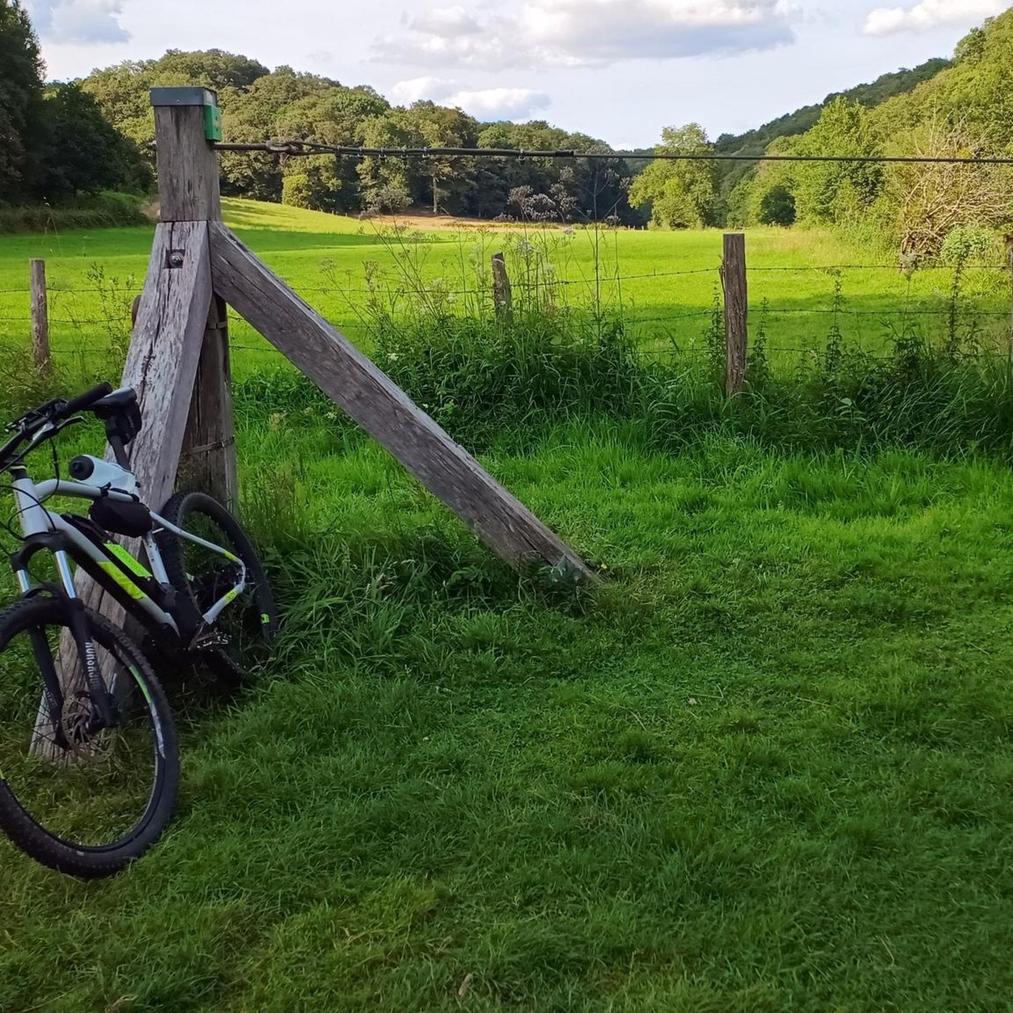

Tips from the Community

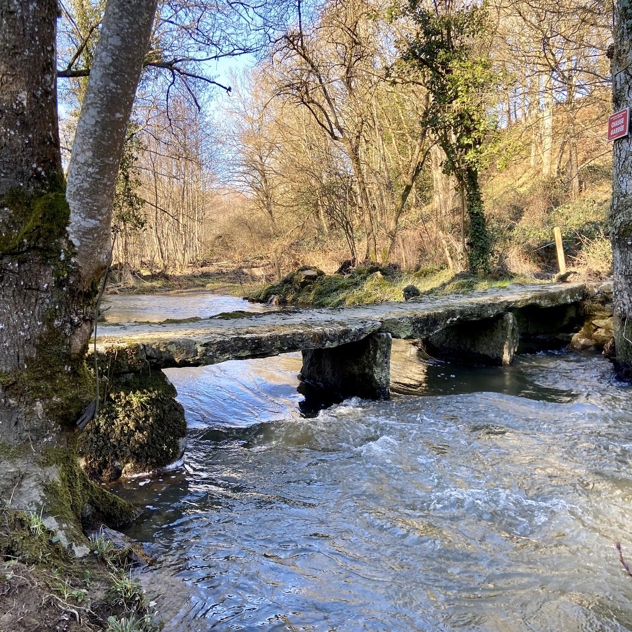
Beautiful spot! The bridge itself is an old stone arch bridge. Nice to see from the bank or with your feet in the water. On the bridge, a beautiful view in both directions over the Sarhte, over the church on the rock and towards the mill and the town itself. Nice information panel. The view towards Le Pont is also picturesque!
0
0
Village not only picturesque, but also with a history.
0
0
even though the route doesn't go from one bank to another, it's still worth taking the ferry. Just fun to do, but also beautiful views.
0
0
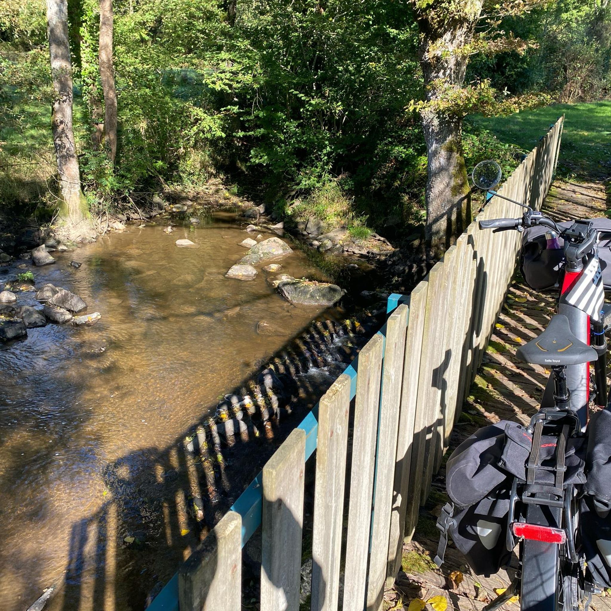
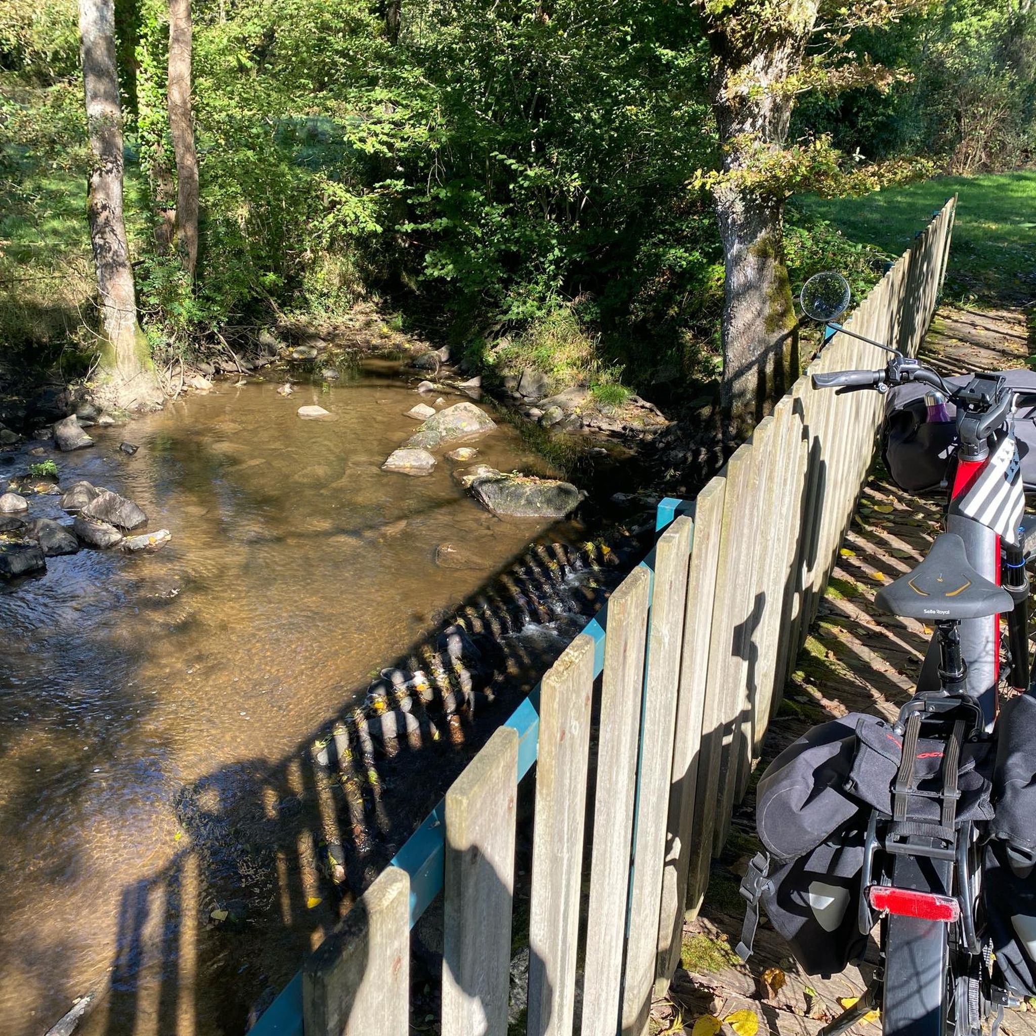
Dam in the Sarthe. Too beautiful a place not to check out/walk around, even if you're not really going to the other side. The Sarthe splits around Les Îles de la Forge. Via a small bridge, a short detour from the route, you reach the dam, the barrage, close to the water, the water that always draws you in...
0
0

Free parking and starting point for the hike 10m away
0
0

Very pretty place, nicely designed. Unfortunately, it's overcrowded with tourists. Perhaps a good stop on a hike.
0
0

very varied and pleasant hike
0
0

Frequently Asked Questions
How many hiking trails are available around Saint-Pierre-Des-Nids?
You'll find over 120 hiking trails in the Saint-Pierre-Des-Nids area, offering a wide range of experiences. These routes are highly rated by the komoot community, with an average score of 4.7 stars.
What kind of hiking difficulty can I expect in Saint-Pierre-Des-Nids?
The region offers a diverse range of difficulties. You can choose from 46 easy trails, 68 moderate routes, and 11 more challenging hikes. The terrain varies from gentle river valleys to the more undulating landscapes of the "Alpes Mancelles" and the higher points of the Armorican massif.
Are there many circular hiking routes in the Saint-Pierre-Des-Nids area?
Yes, many of the trails around Saint-Pierre-Des-Nids are circular, allowing you to start and end at the same point. An example is the Pont loop from Saint-Céneri-le-Gérei, a moderate 8 km route that takes you through picturesque scenery.
What are some notable landmarks or viewpoints to see while hiking?
The region is rich in natural beauty and historical sites. You can visit the Mont des Avaloirs viewpoint, the highest point of the Armorican massif, offering panoramic views. The village of Saint-Cénéri-le-Gérei, recognized as one of France's "Most Beautiful Villages," is also a highlight, often explored via routes like the Moulin de Trotté – Pont loop from Saint-Céneri-le-Gérei.
Are there family-friendly hiking options available?
Absolutely. Many of the 46 easy trails are suitable for families. The St-Généri-le-Gérei — loop in the Normandie-Maine Regional Natural Park and Geopark is an easy 5.3 km route that explores varied natural environments and is a great choice for a family outing.
Can I bring my dog on the hiking trails?
While specific dog-friendly designations for every trail are not always listed, the natural environment of the Normandie-Maine Regional Natural Park generally welcomes dogs on leash. It's always best to ensure your dog is under control and to respect local signage, especially in protected areas or near livestock.
Where can I find parking for hiking trails?
Many trailheads in the Saint-Pierre-Des-Nids area, particularly near popular villages like Saint-Léonard-des-Bois and Saint-Céneri-le-Gérei, offer designated parking. For example, routes starting from these villages, such as the Saint-Céneri-le-Gérei – Pont loop from Saint-Léonard-des-Bois, typically have convenient parking nearby.
Are there any cafes or pubs along the hiking routes?
The charming villages within the Alpes Mancelles, such as Saint-Cénéri-le-Gérei and Saint-Léonard-des-Bois, offer options for refreshments. Many routes pass through or near these villages, providing opportunities to stop for a drink or a meal. The Moulin de Trotté – Pont loop from Saint-Léonard-des-Bois, for instance, takes you past the historic Moulin de Trotté and is close to village amenities.
What is the best time of year to go hiking in Saint-Pierre-Des-Nids?
The region is beautiful throughout the year, but spring and autumn offer particularly pleasant hiking conditions with mild temperatures and vibrant natural colors. Spring brings blooming wildflowers, while autumn showcases stunning foliage in the deciduous woodlands. Summer is also popular, though trails can be busier.
Are there any unique natural features to explore?
Yes, the region is known for its distinctive natural features. The Sarthe river has carved out impressive canyons, such as the Belvédère des Toyères, which features majestic granite cliffs. You can also experience crossing the Sarthe river on Le Bac à Chaînes, a traditional chain ferry at "Le Val," offering a unique perspective of the waterway.
What do other hikers enjoy most about hiking in Saint-Pierre-Des-Nids?
The area is highly rated by the komoot community, with an average score of 4.7 stars from over 600 reviews. Hikers often praise the diverse landscapes, from moorlands and dense woodlands to picturesque river valleys, and the well-maintained trails that cater to various ability levels.
Most popular routes around Saint-Pierre-Des-Nids
Most popular attractions around Saint-Pierre-Des-Nids

Get inspired with the komoot mobile app


Explore more
Browse the best Hikes in other regions.
