The best running trails around Boissy-Saint-Léger
4.5
(6)
441
runners
18
runs
Jogging around Boissy-Saint-Léger offers access to extensive green spaces and well-maintained trails, making it an appealing destination for outdoor activities. Nearly two-thirds of the commune is covered by natural landscapes, primarily forests, providing a refreshing escape. The region is characterized by the vast Arc Boisé Forest Massif, which includes the Forêt Notre-Dame, and numerous paths suitable for running, such as the "Chemin des Roses Greenway." These natural features provide varied terrain for runners, from mostly flat, paved surfaces to more…
Last updated: July 10, 2026
5.0
(1)
100
runners
Moderate run. Good fitness required. Mostly paved surfaces. Suitable for all skill levels.
83
runners
24.2km
02:34
150m
150m
Hard run. Very good fitness required. Mostly paved surfaces. Suitable for all skill levels.

Sign up for free
5.0
(1)
71
runners
18.8km
02:00
70m
70m
Hard run. Very good fitness required. Mostly paved surfaces. Suitable for all skill levels.
42
runners
4.58km
00:28
10m
10m
Easy run. Great for any fitness level. Mostly paved surfaces. Suitable for all skill levels.
3.5
(2)
25
runners
10.6km
01:07
30m
30m
Moderate run. Good fitness required. Mostly paved surfaces. Suitable for all skill levels.
Get access to more routes and recommendations from other explorers.
Sign up for free
Already have an account?
Our route recommendations are based on thousands of hikes, rides, and runs completed by other people on komoot.
Start today with a free account
Your next adventure awaits.
Login or Signup
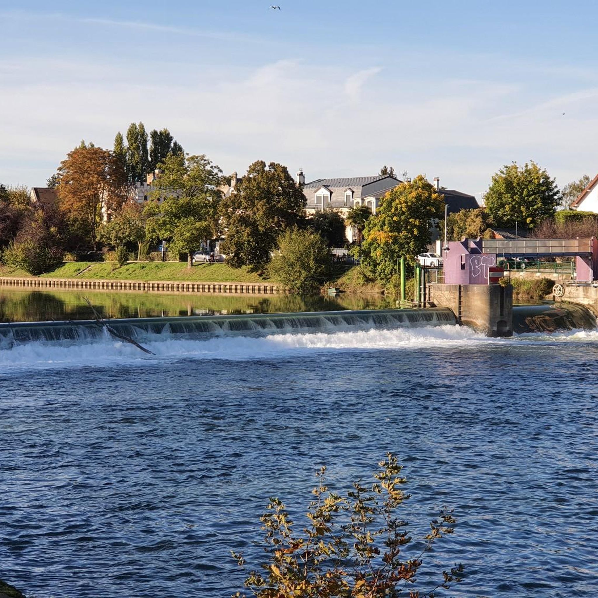
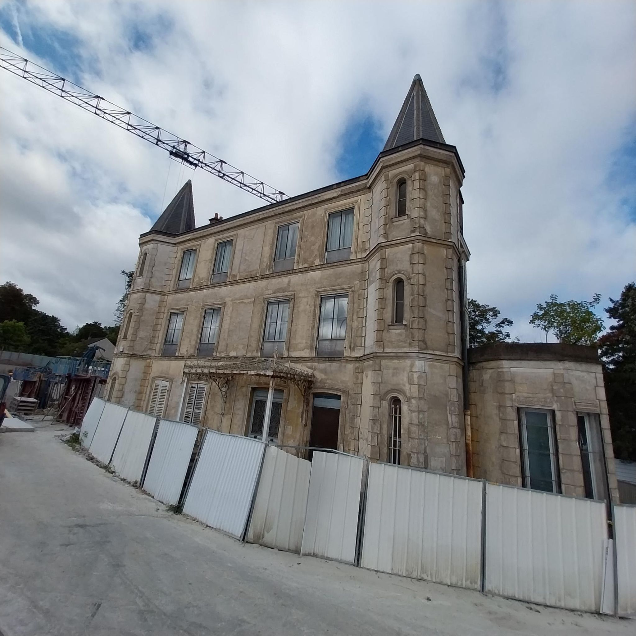
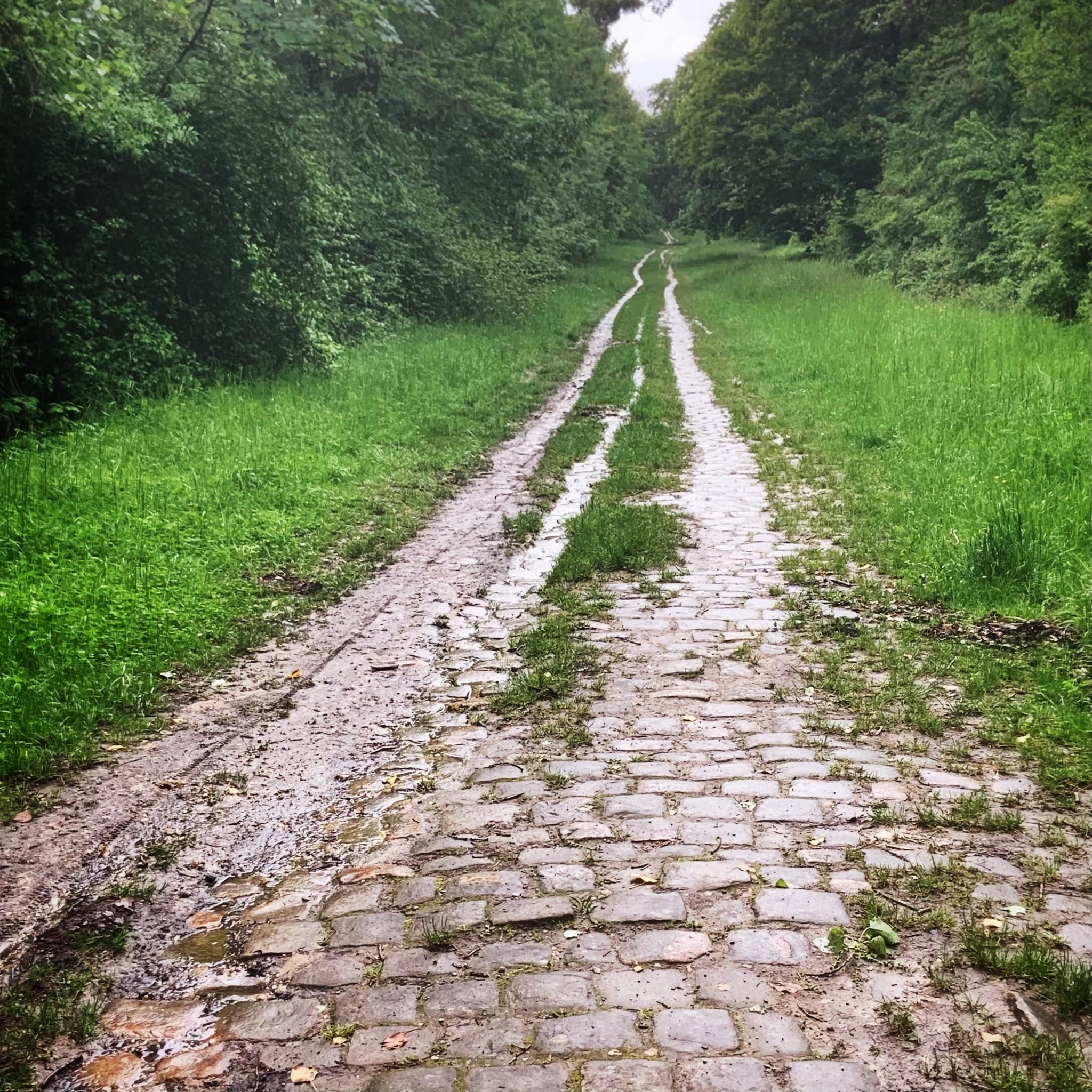
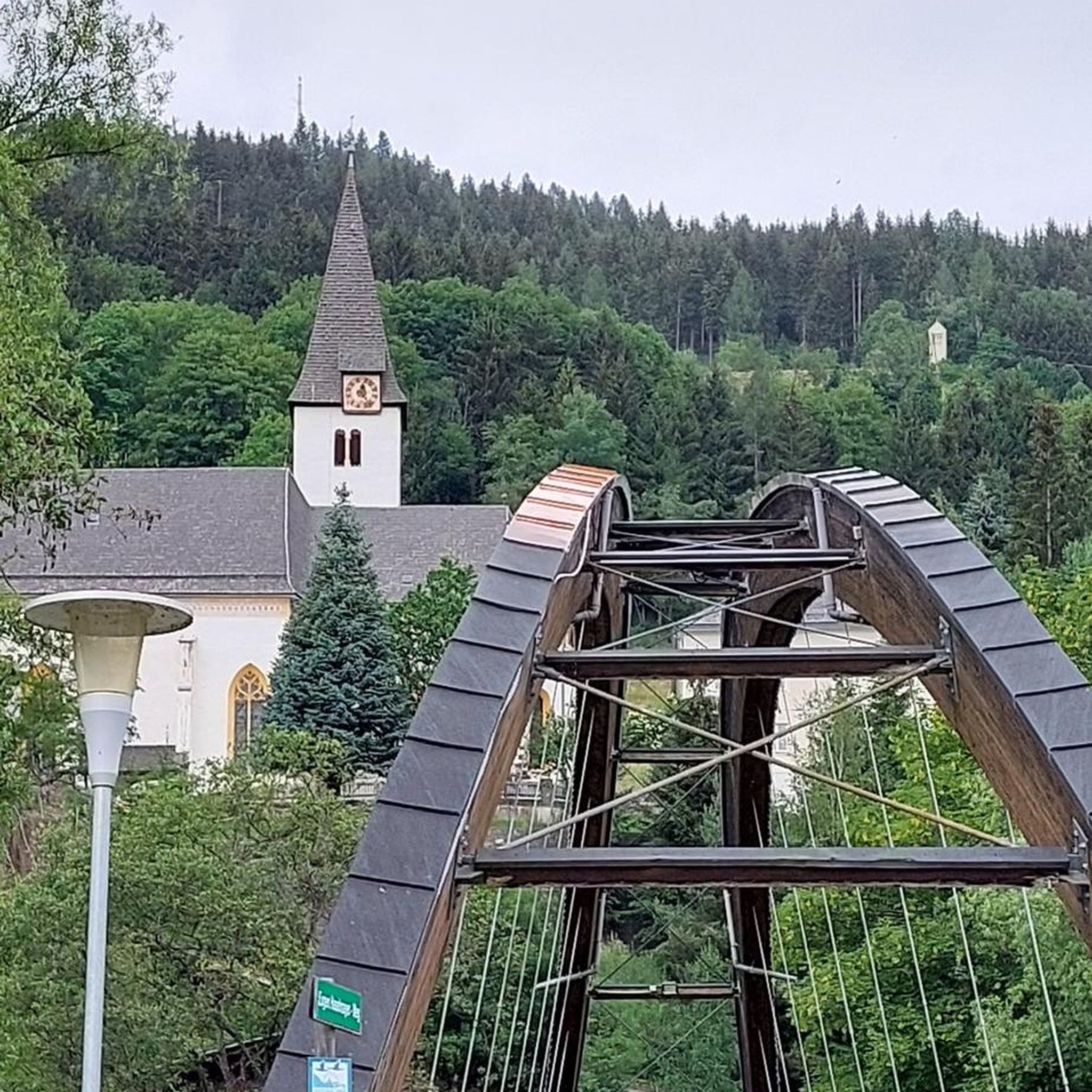
Tips from the Community

Several water points accessible directly around the lake
0
0

Located on cable C1, the first cable car in the Île-de-France region, it was proposed as an option in September 2013 during the public consultation. Situated near the intersection of the Rue de Paris and the RD 229 in Limeil-Brévannes, this station could serve the Saint-Martin district and the lower part of the town of Valenton. This station was proposed because a change of direction is necessary at this point on the line's route, and the cable car travels in a straight line. Source: https://fr.wikipedia.org/wiki/C%C3%A2ble_1
0
0


In Val-de-Marne, Réveillon draws a pretty valley in the middle of fields, woods and towns in the Paris region until it reaches the Yerres.
0
0

Greenway plant footbridge crossing the N406 at Créteil, Valenton border.
0
0

An outing with a nice mix of roads (asphalt), paths with well-packed stones and muddy paths (sometimes very crowded) in the woods. The route passes through the national forest of Notre Dame, the regional forest of Ferrières, alongside the leisure centers of Torcy and Vaires... The banks of the Marne de Bry, Champigny, Joinville, Noisy and Saint Maur.
0
0

good spring outing it feels good a little fresh air and sunshine
0
0
Frequently Asked Questions
How many running trails are available around Boissy-Saint-Léger?
Boissy-Saint-Léger offers a wide selection of running routes, with over 15 trails available for you to explore. These routes cater to various fitness levels, from easy jogs to more challenging runs.
What kind of terrain can I expect on the running routes in Boissy-Saint-Léger?
The running routes around Boissy-Saint-Léger primarily feature extensive green spaces and forested areas, including parts of the vast Arc Boisé Forest Massif. You'll find a mix of well-maintained paths, shaded sections, and some routes with moderate elevation changes, offering a refreshing escape into nature.
Are there easy running routes suitable for beginners or casual jogs?
Yes, there are routes perfect for beginners or those looking for an easy run. For instance, the Running loop from Créteil is a moderate 3.4-mile (5.5 km) path with minimal elevation, ideal for a relaxed jog. Many trails are also suitable for walking, making them accessible for all fitness levels.
Are there more challenging running routes for experienced runners?
Absolutely. For experienced runners seeking a challenge, routes like the Réveillon Valley – Allée Pompadour loop from Boissy-Saint-Léger offer a longer distance of 13.9 miles (22.4 km) and more significant elevation gain, providing a demanding workout through scenic terrain.
Can I find circular running routes in Boissy-Saint-Léger?
Yes, many of the running routes in the area are circular, allowing you to start and finish at the same point. A popular option is the Mont Griffon Summit – Mount Griffon loop from Boissy-Saint-Léger, a 9.0-mile (14.5 km) trail that takes you through forested sections.
Are there any running trails that pass by water or offer scenic views?
While not directly within Boissy-Saint-Léger, the nearby Banks of the Marne in Saint-Maur-des-Fossés offer a protected and scenic environment popular for outdoor activities, including jogging along wide sidewalks. You can also find routes that pass by serene spots like Lake Gravelle or Lake Daumesnil.
What natural attractions or landmarks can I see while running in the area?
The region is rich in natural beauty. You can explore parts of the Arc Boisé Forest Massif, including the Forêt Notre-Dame. Some routes might lead you past notable natural monuments like the ancient Chêne des Bruyères or Chêne d'Antin. The Chemin des Roses Greenway is also a pleasant, shaded path to discover.
What do other runners say about the trails in Boissy-Saint-Léger?
The running routes in Boissy-Saint-Léger are highly regarded by the komoot community, with an average rating of 4.1 stars from over 10 reviews. Runners often praise the extensive natural forests, dedicated greenways, and the variety of terrain that makes for an enjoyable and refreshing experience.
Are there specific greenways or notable forest areas for running in Boissy-Saint-Léger?
Yes, the region is known for its extensive green spaces. The Chemin des Roses Greenway is particularly noted for its pleasant, shaded, and bucolic sections, making it ideal for joggers. A significant portion of the Arc Boisé Forest Massif, including the Forêt Notre-Dame, also provides vast natural areas for running.
Is there public transport access to the running trails in Boissy-Saint-Léger?
Boissy-Saint-Léger is well-connected, being just 15 km from Paris. Public transport options, such as the RER A line, serve the commune, making it accessible for those looking to reach the starting points of various running routes without a car. For detailed information on local transport, you may consult the official tourism website for the Val-de-Marne region.
Are there any outdoor workout spots in Boissy-Saint-Léger to complement a running routine?
Yes, Boissy-Saint-Léger features outdoor workout spots like the Parc Street Workout - Place de la Chênaie. This facility can be a great addition to your running routine, offering opportunities for strength and bodyweight exercises to enhance your overall fitness.
Can I find routes suitable for a longer distance run, such as a half-marathon training?
Certainly. For longer distance training, routes like the Réveillon Valley – Allée Pompadour loop from Boissy-Saint-Léger, which spans 13.9 miles (22.4 km), provide ample distance and varied terrain suitable for preparing for a half-marathon or simply enjoying a longer endurance run.
Most popular routes around Boissy-Saint-Léger
Most popular attractions around Boissy-Saint-Léger

Get inspired with the komoot mobile app


Explore more
Browse the best Running Trails & Routes in other regions.
