The best walks and hikes around Breteil
4.4
(668)
4,469
hikers
176
hikes
Hiking around Breteil offers a variety of trails through the region's characteristic landscapes. The area is defined by its dense woodlands, such as Montfort Forest, and meandering rivers like the Meu. Elevation changes are generally gentle, making many routes accessible. These features provide a mix of shaded forest paths and open country walks.
Best hiking trails around Breteil
- The most popular hiking route is Montfort Forest – La Maconnais private pond loop from Talensac, a 5.0 miles (8.0 km)…
Last updated: October 21, 2026
4.8
(10)
54
hikers
8.02km
02:09
90m
90m
Moderate hike. Good fitness required. Easily walkable paths.
4.5
(8)
37
hikers
10.9km
02:55
120m
120m
Moderate hike. Good fitness required. Easily walkable paths.

4.7
(6)
25
hikers
11.4km
03:02
130m
130m
Moderate hike. Good fitness required. Easily walkable paths.
4.0
(5)
13
hikers
9.11km
02:21
50m
50m
Moderate hike. Good fitness required. Easily walkable paths.
4.4
(5)
12
hikers
11.0km
02:51
70m
70m
Moderate hike. Good fitness required. Easily walkable paths.
Get access to more routes and recommendations from other explorers.
Already have an account?
Our route recommendations are based on thousands of hikes, rides, and runs completed by other people on komoot.
Start today with a free account
Your next adventure awaits.

Tips from the Community


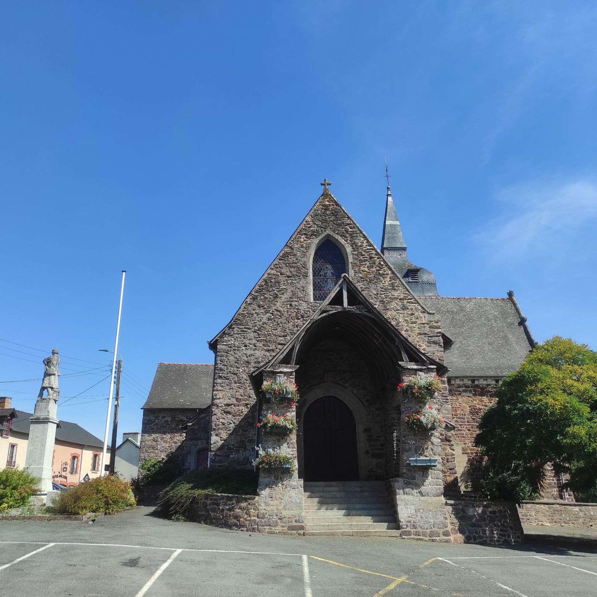
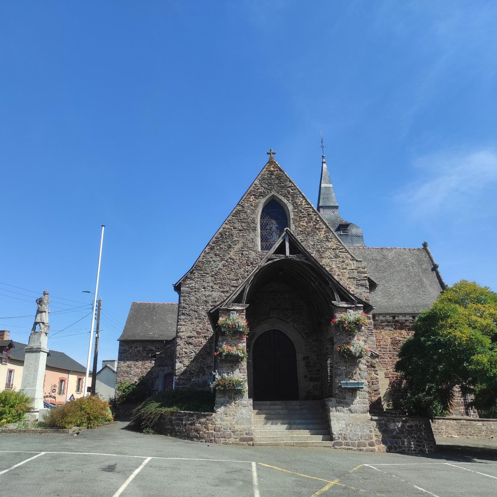
The church was rebuilt at the beginning of the 17th century and the north chapel was built in 1878.
0
0

The Papegault tower, from the end of the 14th century, is the best preserved and most representative element of the ancient medieval town of Montfort-sur-Meu.
0
0

The current church dates from the beginning of the 17th century and the north chapel was built in 1878.
0
0
Pond (a priori private) along the path.
0
0

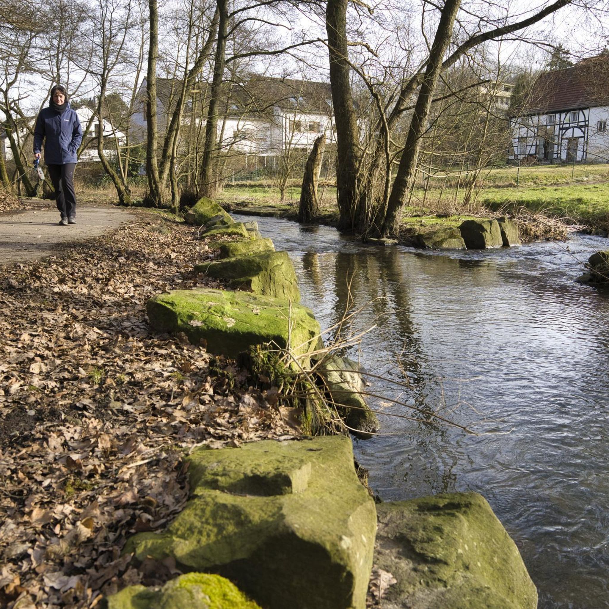
On the banks of the Meu, this mural recalls the essential role played by nature in the region.
0
0

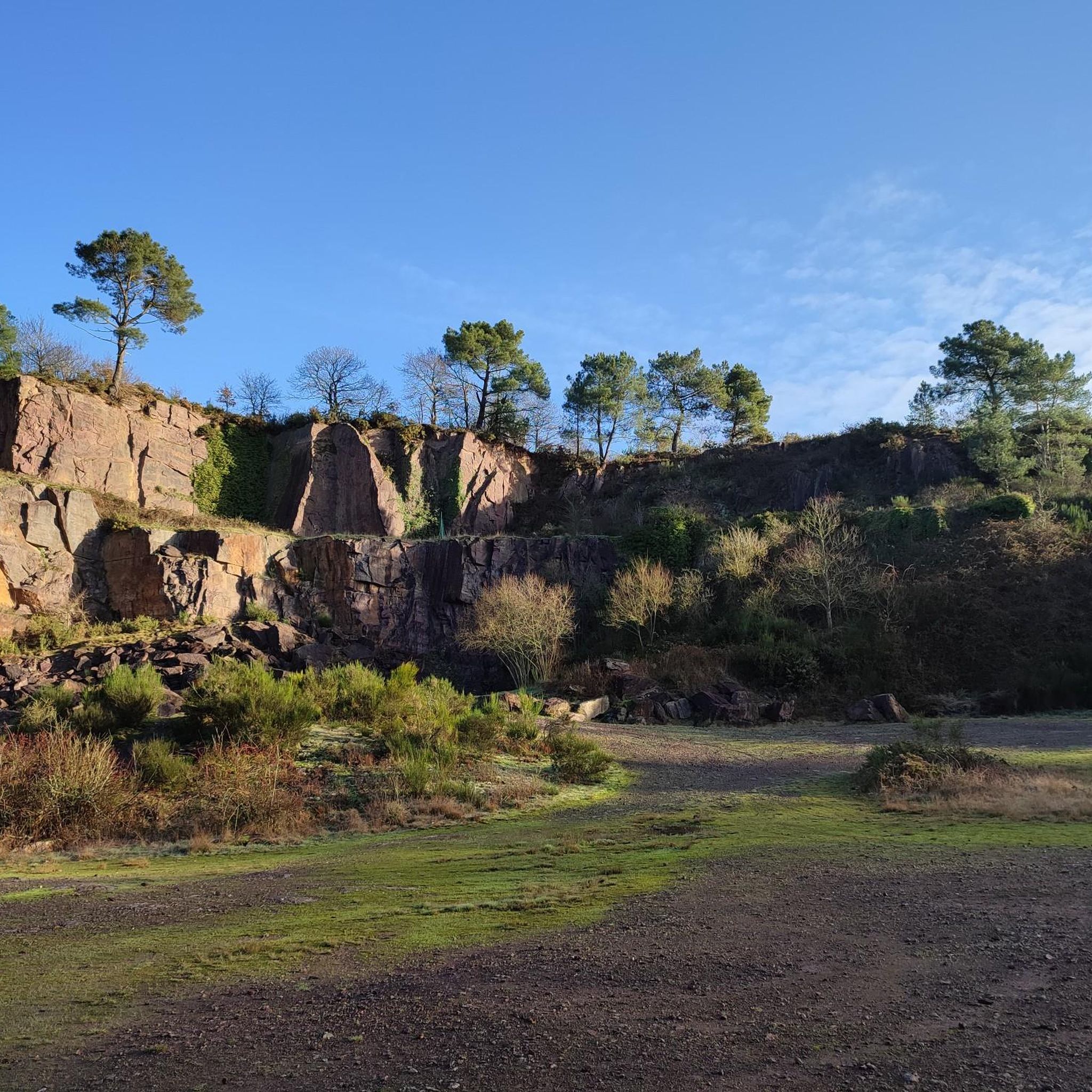
A veritable green lung at the gates of the old medieval town of Montfort-sur-Meu
1
0

Frequently Asked Questions
How many hiking trails are available around Breteil?
There are over 160 hiking trails around Breteil, offering a wide range of options for different preferences and skill levels. The majority of these routes are rated as easy or moderate.
What is the general difficulty level of hikes in Breteil?
Breteil's hiking trails are predominantly easy to moderate, with 88 easy routes and 68 moderate routes. There are only a few difficult trails, making the area very accessible for most hikers. The elevation changes are generally gentle, suitable for a relaxed outdoor experience.
What kind of landscape can I expect on hikes around Breteil?
Hikes around Breteil are characterized by dense woodlands, such as Montfort Forest, and meandering rivers like the Meu. You'll find a mix of shaded forest paths and open country walks, with gentle rolling terrain throughout the region.
Are there easy, family-friendly hikes in Breteil?
Yes, Breteil offers numerous easy and family-friendly hikes. Many routes feature gentle terrain and shaded paths suitable for all ages. An example is the Esplanade Emanescu – La Maconnais private pond loop from Talensac, which is an easy 4.2-mile (6.7 km) trail.
Are there circular hiking routes near Breteil?
Many of the trails around Breteil are circular, allowing you to start and end at the same point. For instance, the Saint-Malo-de-Breteuil Church loop from Breteil is a moderate 5.7-mile (9.1 km) circular route that explores the local area.
Can I bring my dog on the trails around Breteil?
Generally, dogs are welcome on hiking trails in Breteil, especially in natural areas like Montfort Forest. However, it's always advisable to keep them on a leash, particularly in protected areas or near wildlife, and to check for any specific local regulations at trailheads.
Are there any good viewpoints or natural attractions to see while hiking?
Yes, the region around Breteil offers several natural attractions. You can find stunning views at the Chambre au Loup Valley or enjoy serene lake views at Lake Trémelin viewpoint. The Étang de l'Étunel is another beautiful lake highlight.
What do other hikers say about the trails around Breteil?
The hiking trails around Breteil are highly rated by the komoot community, with an average score of 4.5 stars from over 550 reviews. Hikers often praise the quiet woodlands, well-maintained paths, and the peaceful atmosphere of the river valleys.
What is the best time of year to go hiking in Breteil?
Hiking in Breteil is enjoyable throughout the year. Spring brings lush greenery and blooming flora, while autumn offers beautiful fall colors in the woodlands. Summer is pleasant with shaded forest paths, and even winter can be charming, though some paths might be muddy after rain.
Are there any trails with water features like rivers or ponds?
Yes, many trails in Breteil incorporate water features. The region is defined by rivers like the Meu, and several routes pass by ponds. For example, the Montfort Forest – The Meu loop from Montfort-sur-Meu follows the Meu river, and the Montfort Forest – La Maconnais private pond loop from Talensac features views of a private pond.
Where can I find parking for hiking trails in Breteil?
Parking is generally available near trailheads and popular starting points in and around Breteil. For specific routes, it's best to check the tour details on komoot, as many tours provide information on recommended parking locations.
Are there less crowded hiking options available?
To find less crowded hiking options, consider exploring some of the lesser-known trails or hiking during off-peak hours, such as early mornings or weekdays. While popular routes like those in Montfort Forest can see more visitors, the extensive network of over 160 trails means you can often find peaceful solitude.
Most popular attractions around Breteil

Get inspired with the komoot mobile app


Explore more
Browse the best Hikes in other regions.
