The best walks and hikes around Courgains
4.4
(8)
76
hikers
25
hikes
Hiking around Courgains offers diverse landscapes, including bocage, small mountains, countryside, and river valleys. The region features varied terrain suitable for outdoor activities, with notable natural features such as the Butte du Teil, which provides panoramic views. The area is characterized by hedgerows and forests, contributing to a scenic environment for walking. These physical features create a range of hiking experiences across different elevations.
Best hiking trails around Courgains
- The most popular hiking route is Greenway departure loop from Marolles-les-Braults…
Last updated: July 4, 2026
5.0
(1)
6
hikers
6.96km
01:48
40m
40m
Easy hike. Great for any fitness level. Easily-accessible paths. Suitable for all skill levels.
6
hikers
19.7km
05:18
240m
240m
Hard hike. Very good fitness required. Easily-accessible paths. Suitable for all skill levels.

Sign up for free
5
hikers
13.4km
03:40
200m
200m
Moderate hike. Good fitness required. Easily-accessible paths. Suitable for all skill levels.
3.0
(1)
4
hikers
9.35km
02:34
150m
150m
Moderate hike. Good fitness required. Easily-accessible paths. Suitable for all skill levels.
4
hikers
11.1km
03:03
180m
180m
Moderate hike. Good fitness required. Easily-accessible paths. Suitable for all skill levels.
Get access to more routes and recommendations from other explorers.
Sign up for free
Already have an account?
Our route recommendations are based on thousands of hikes, rides, and runs completed by other people on komoot.
Start today with a free account
Your next adventure awaits.
Login or Signup



Frequently Asked Questions
How many hiking trails are available in Courgains?
Courgains offers a good selection of hiking routes, with over 20 trails to explore. These range from easy strolls to more challenging treks, catering to various fitness levels.
What kind of landscapes can I expect to see while hiking in Courgains?
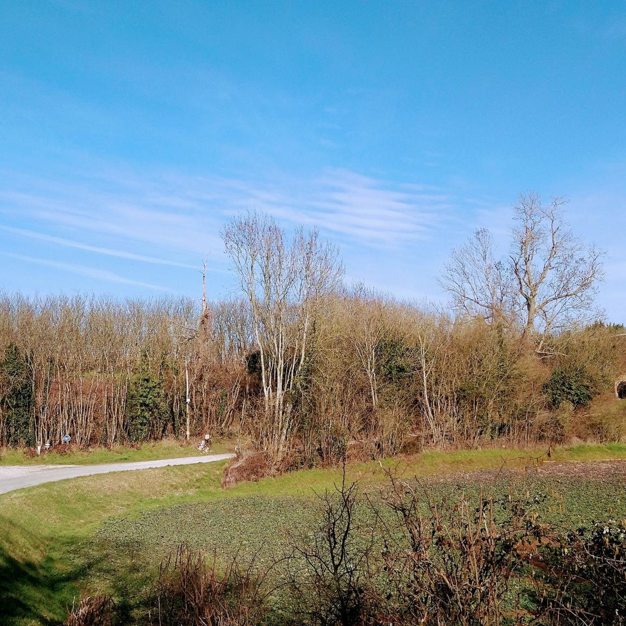
The region around Courgains is characterized by diverse landscapes, including picturesque bocage, small mountains, open countryside, and tranquil river valleys. You'll encounter hedgerows and forests, providing varied and scenic environments for your walks. A notable natural landmark is the Butte du Teil, which offers magnificent panoramic views.
Are there easy hikes suitable for beginners or families in Courgains?
Yes, Courgains has several easy trails perfect for beginners or families. For instance, the Greenway departure loop from Marolles-les-Braults is an easy 7.0 km (4.3 miles) route with gentle elevation changes, taking about 1 hour 48 minutes to complete. The trails are generally well-maintained and signposted, making them accessible for many.
What do other hikers enjoy most about hiking in Courgains?
The hiking trails in Courgains are highly rated by the komoot community, with an average score of 4.5 stars. Hikers often praise the varied terrain, the well-maintained and signposted paths with limited road sections, and the peaceful natural beauty of the bocage and forest areas.
Are there any circular hiking routes in Courgains?
Yes, many of the trails in Courgains are circular, allowing you to start and end at the same point. Popular options include the Greenway departure loop from Marolles-les-Braults, the Étang d'Utrel – Forêt de Perseigne loop from Neufchâtel-en-Saosnois, and the Mare aux canes loop from Villaines-la-Carelle.
What is the best time of year to hike in Courgains?
Courgains offers pleasant hiking experiences throughout much of the year. Spring and autumn are particularly beautiful, with mild temperatures and vibrant colors in the bocage and forests. Summer is also suitable, though it's advisable to start earlier in the day to avoid the midday heat. The well-maintained trails are generally accessible in most conditions.
Are there any interesting landmarks or attractions to see near the hiking trails?
While hiking in the Courgains area, you can discover several points of interest. These include historical sites like the Saint Mathurin Gate and Chapel, and religious buildings such as the Saint-Germain Church of Louvigny. The region also features the Butte du Teil, offering expansive views, and an 'incredible geopole' mentioned in local descriptions.
What is the typical length and difficulty of hikes in Courgains?
Hikes in Courgains vary significantly in length and difficulty. You can find shorter, easy routes like the Greenway departure loop from Marolles-les-Braults at 7.0 km (4.3 miles), or more challenging, longer trails such as the Hiking loop from Ancinnes, which spans 19.8 km (12.3 miles) and includes significant elevation gain.
Are the hiking trails in Courgains well-signposted?
Yes, the hiking trails in the Courgains area are officially signposted and designed with limited road sections, ensuring a pleasant and safe experience for hikers. They also benefit from regular maintenance.
Where can I find more information about hiking in the broader region?
For additional information about hiking opportunities in the wider Alpes Mancelles region, you can visit the official tourism website: tourisme-alpesmancelles.com.
Are there any moderate difficulty hikes in Courgains?
Absolutely. The majority of trails in Courgains are of moderate difficulty, offering a good balance for most hikers. An example is the Perseigne Viewpoint loop from Villaines-la-Carelle, a 12.9 km (8.0 miles) route with varied terrain and elevation changes, typically taking around 3 hours 30 minutes.
Most popular routes around Courgains
Most popular attractions around Courgains

Get inspired with the komoot mobile app


Explore more
Browse the best Hikes in other regions.
