The best running trails around Le Biot
4.4
(121)
6,213
runners
15
runs
Jogging routes around Le Biot offer diverse and striking natural landscapes in the Haute-Savoie department of France. The region is characterized by its mountainous terrain, featuring prominent passes like the Col du Corbier and peaks such as Mont Ouzon. These features provide a range of running experiences, from challenging mountain runs with significant elevation changes to more accessible paths through valleys. Panoramic views of the Swiss Alps, Lake Geneva, and Lac de Vallon are common along many trails.
Best jogging…
Last updated: June 28, 2026
41
runners
12.3km
01:55
760m
760m
Hard run. Very good fitness required. Sure-footedness, sturdy shoes and alpine experience required.
5.0
(2)
24
runners
14.5km
01:42
320m
320m
Hard run. Very good fitness required. Mostly paved surfaces. Suitable for all skill levels.

Sign up for free
4.5
(2)
18
runners
8.34km
01:00
310m
310m
Hard run. Very good fitness required. Mostly paved surfaces. Suitable for all skill levels.
14
runners
13.8km
01:55
750m
750m
Hard run. Very good fitness required. Sure-footedness, sturdy shoes and alpine experience required.
9
runners
19.5km
02:15
400m
400m
Hard run. Very good fitness required. Mostly paved surfaces. Suitable for all skill levels.
Get access to more routes and recommendations from other explorers.
Sign up for free
Already have an account?
Our route recommendations are based on thousands of hikes, rides, and runs completed by other people on komoot.
Start today with a free account
Your next adventure awaits.
Login or Signup

Tips from the Community

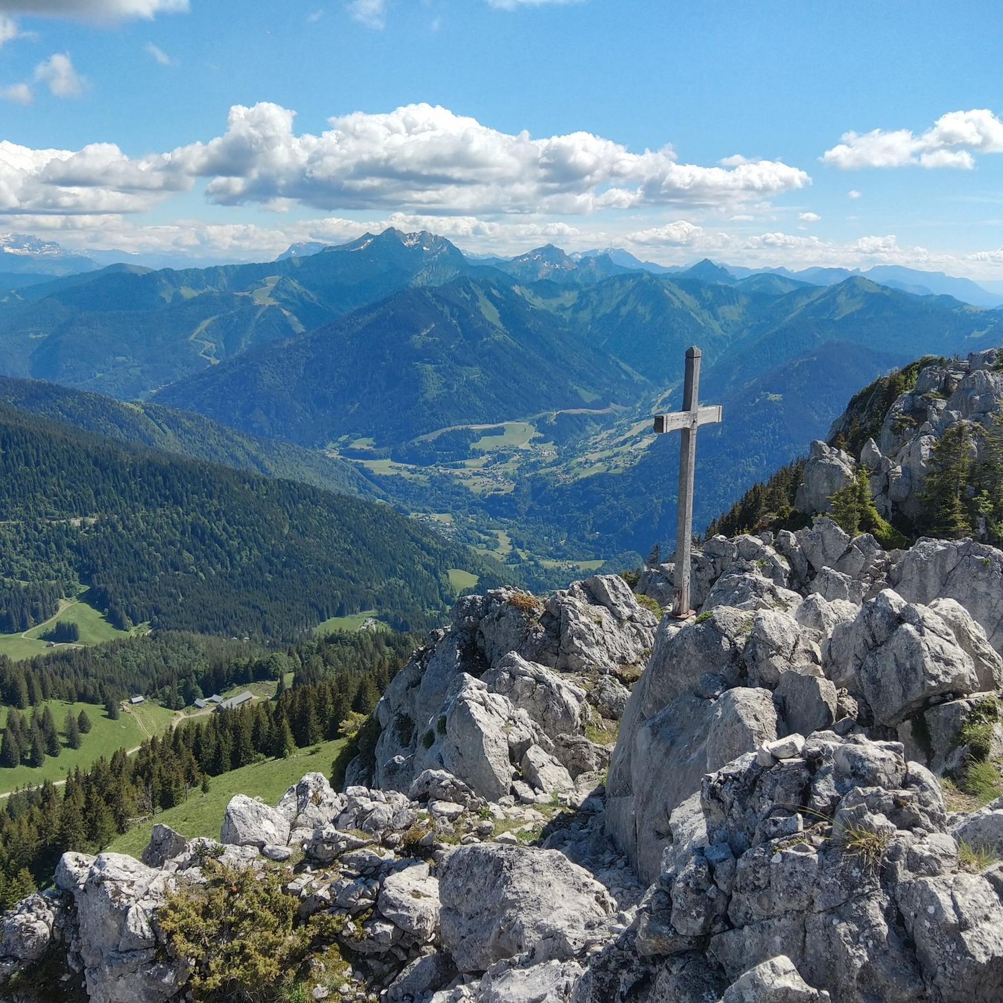
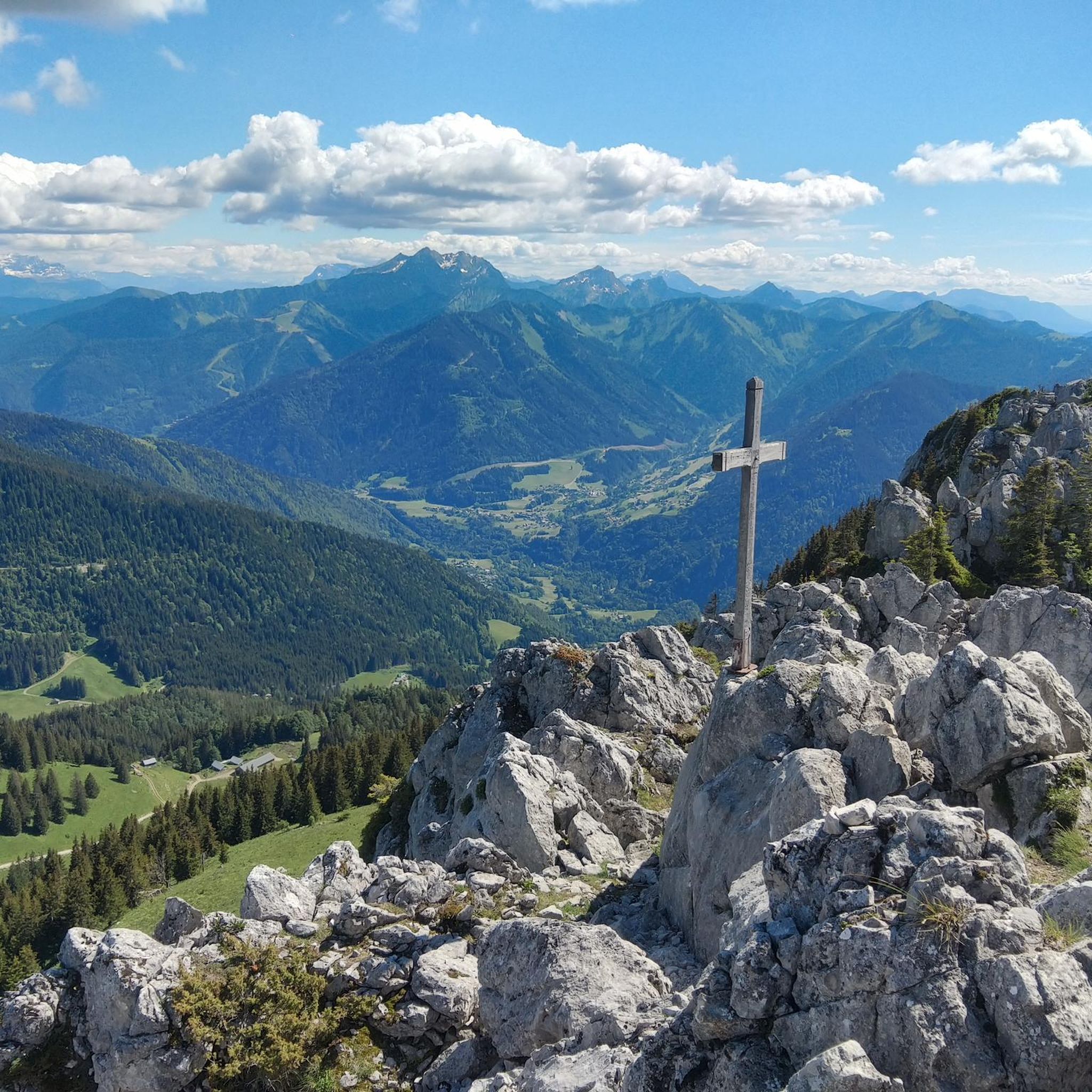
In Chablais, Mount Ouzon is the last peak in the Aulps Valley before reaching Lake Geneva. Heading south, it offers a beautiful view of Mont Blanc. No need to climb to the summit to see the roof of Europe, you can stay at the pass.
1
0

Indeed, there is a beautiful view here.
4
0
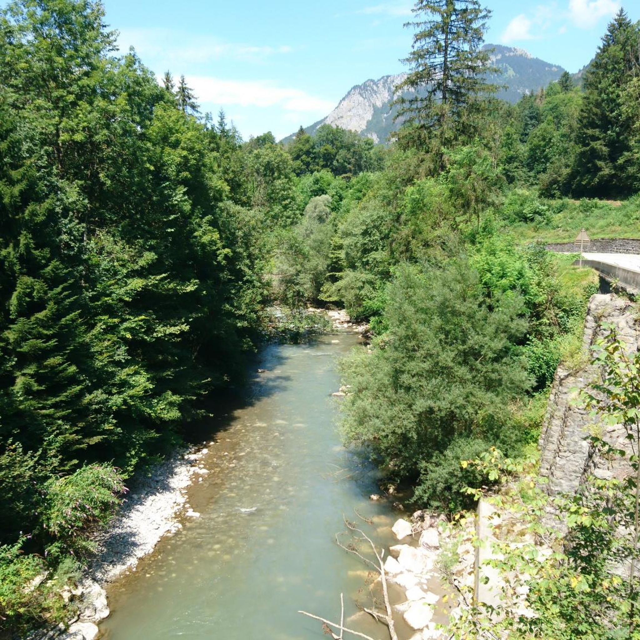
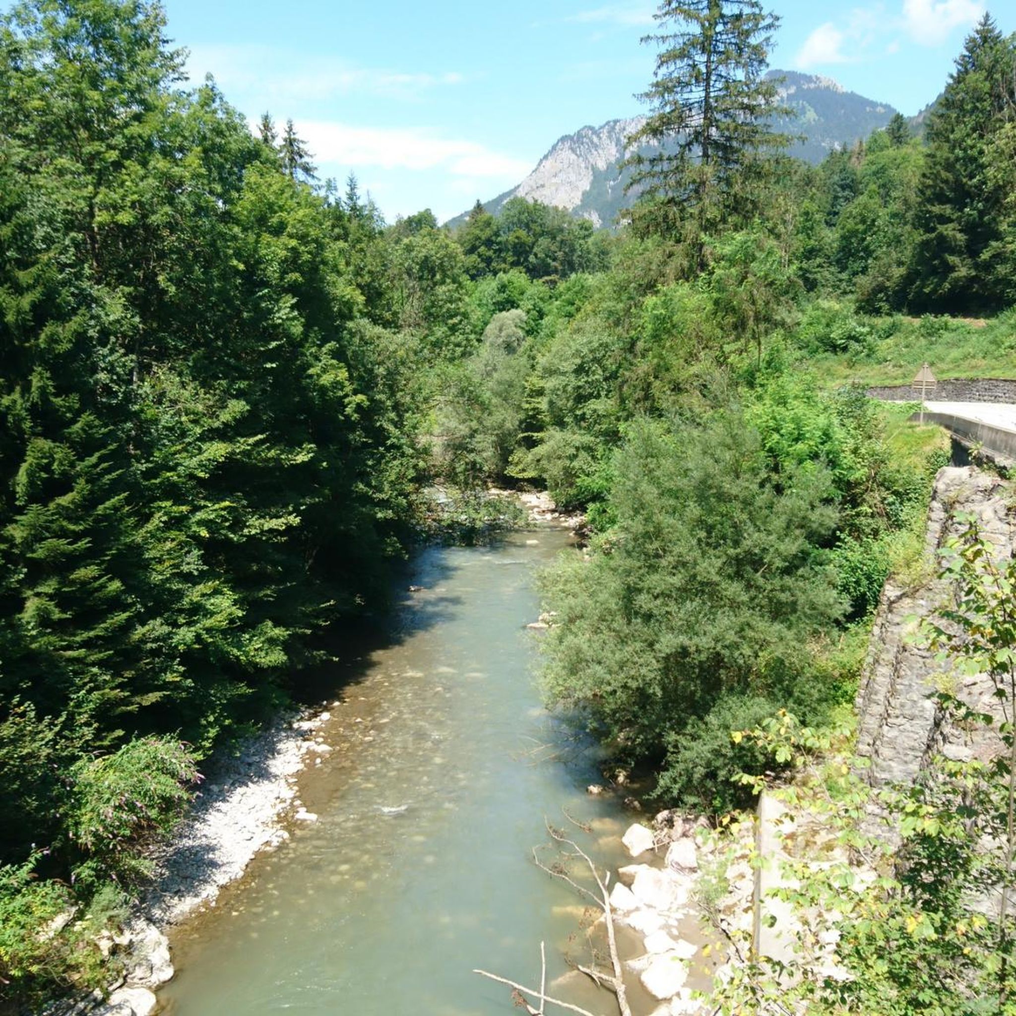
Easy single trail along the Dranse.
5
0

Steep climb coming from Morzine with an average of 8% in the first part then 9%.
1
0


Aulps Abbey was founded at the end of the 11th century in the heart of the Chablais Pre-Alps and affiliated to the order of the Cistercians. It became one of the most important monasteries of medieval Savoy but was largely destroyed in 1823. After the fire in the village, it served as a quarry for the inhabitants. The estate now houses the remains of the abbey, the cellars, gardens, the gatehouse and the old monastic farm.
1
0

The ascent of the Col du Corbier from le Biot is about 6.5 km, of which the last 4.5 km are very steep. (Between 9 and 14 %)
2
0
Ruin of an abbey which is being restored. It can be visited, but was closed when we drove past. Beautiful location
2
0
Frequently Asked Questions
How many running routes are available around Le Biot?
There are 14 dedicated running routes around Le Biot, all of which are categorized as difficult due to the mountainous terrain and significant elevation changes. These routes offer a range of experiences for experienced runners.
What kind of terrain can I expect on jogging routes in Le Biot?
Jogging routes in Le Biot are characterized by mountainous terrain, featuring prominent passes like the Col du Corbier and peaks such as Mont Ouzon. You can expect significant elevation gains, making for challenging runs. The region also offers varied terrain, from ascents to more moderate paths through valleys.
What do other runners enjoy most about the jogging trails in Le Biot?
The running trails in Le Biot are highly rated by the komoot community, with an average score of 4.5 stars from over 100 reviews. Runners frequently praise the challenging mountainous terrain, the high passes, and the panoramic views of surrounding valleys and lakes, including Lake Geneva and Lac de Vallon.
Are there any running routes that offer panoramic views?
Yes, many running routes in Le Biot offer breathtaking panoramic views. For instance, the region provides magnificent vistas of the Swiss Alps, Lake Geneva, and Lake Jotty from areas like the panorama of Tréchauffé. The winding path to Chapelle Saint-Bruno also rewards with stunning views of Lac de Vallon and the surrounding mountains. Routes like the Little green bench with a view – Single along the ridge loop from Le Biot are specifically known for their scenic outlooks.
Are there any circular running routes in Le Biot?
Yes, several running routes in Le Biot are circular. Popular options include the Mont Ouzon pass – Col du Corbier (1230 m) loop from Col du Corbier, which is 7.6 miles (12.3 km) long, and the Ranch des Portes du Soleil loop from Le Biot, a 9.0 miles (14.4 km) path originating directly from Le Biot.
What are some notable landmarks or natural attractions I might see while running in Le Biot?
While running in Le Biot, you might encounter several natural attractions. The region is home to significant mountain passes like Col du Corbier (1230 m) and Jambaz Pass. You could also see the dramatic Gorges of Pont du Diable, the beautiful Lac de Montriond, or the impressive Cascade d'Ardent waterfall.
Are there any running routes suitable for families in Le Biot?
The running routes around Le Biot are generally categorized as difficult due to significant elevation changes and mountainous terrain. While there are no routes specifically marked as 'easy' or 'family-friendly' in the guide data, families with older children who are experienced runners and comfortable with challenging ascents may find suitable options. Always check the route details for elevation and distance before heading out.
Can I bring my dog on the running trails in Le Biot?
Le Biot is known for its open spaces and unspoiled nature, which often makes it welcoming for dogs. However, specific rules regarding dogs can vary by trail or protected area. It's always recommended to keep your dog on a leash, especially in mountainous areas, near livestock, or in nature reserves, and to check local signage for any restrictions before starting your run.
Is there parking available near the trailheads in Le Biot?
Yes, parking is generally available near popular trailheads. For routes that start from the Col du Corbier, such as the Col du Corbier – Col du Corbier (1230 m) loop from Col du Corbier, you can typically find parking directly at the pass. For routes originating from Le Biot itself, like the Ranch des Portes du Soleil loop from Le Biot, village parking options would be available.
What is the best time of year for trail running in Le Biot?
The best time for trail running in Le Biot is typically during the spring, summer, and early autumn months when the weather is milder and the trails are clear of snow. The mountainous terrain means that winter conditions can be challenging, with snow and ice making many routes inaccessible or requiring specialized gear. Always check local weather conditions and trail status before planning your run.
Are there any less crowded running routes in Le Biot?
While specific data on trail crowding is not available, the region of Le Biot is known for its relaxing environment and unspoiled nature, suggesting that many trails offer a sense of tranquility. To find potentially less crowded options, consider exploring routes that are not explicitly highlighted as 'most popular' or those that start from less central points. Early mornings or weekdays might also offer a more solitary running experience.
What is the longest running route available in Le Biot?
The longest running route featured in this guide is the St Jean River Single Track – Nice bridge over river loop from Le Biot, covering a distance of 12.1 miles (19.5 km). This route offers a substantial run with varied features, including a nice bridge over the river.
Most popular routes around Le Biot
Most popular attractions around Le Biot

Get inspired with the komoot mobile app


Explore more
Browse the best Running Trails & Routes in other regions.
