The best walks and hikes around Séchilienne
4.5
(1470)
12,862
hikers
10
hikes
Hiking around Séchilienne offers diverse terrain in the Isère department of the French Alps, situated in the alpine Romanche valley. The region features a significant altitude range, from around 600m to peaks reaching 2,500m, providing varied experiences through forests, high-altitude lakes, and distinctive red rock formations. Hikers can explore extensive forests, numerous mountain lakes like Lac Fourchu and Lac Luitel, and unique geological formations such as La Pierre Percée.
Best hiking trails around Séchilienne
- The most popular hiking route is…
Last updated: July 15, 2026
4.8
(10)
56
hikers
12.5km
04:20
630m
620m
Moderate hike. Good fitness required. Mostly accessible paths. Sure-footedness required.
4.8
(10)
48
hikers
9.56km
03:15
440m
440m
Moderate hike. Good fitness required. Mostly accessible paths. Sure-footedness required.

Sign up for free
4.5
(6)
61
hikers
7.34km
02:17
280m
280m
Moderate hike. Good fitness required. Easily-accessible paths. Suitable for all skill levels.
3.5
(2)
22
hikers
Easy hike. Great for any fitness level. Easily-accessible paths. Suitable for all skill levels.
5.0
(2)
7
hikers
4.85km
01:36
180m
180m
Moderate hike. Great for any fitness level. Mostly accessible paths. Sure-footedness required.
Get access to more routes and recommendations from other explorers.
Sign up for free
Already have an account?
Our route recommendations are based on thousands of hikes, rides, and runs completed by other people on komoot.
Start today with a free account
Your next adventure awaits.
Login or Signup


Tips from the Community

Panoramic view, notably over Taillefer, Séchilienne and Grand Serre
0
0


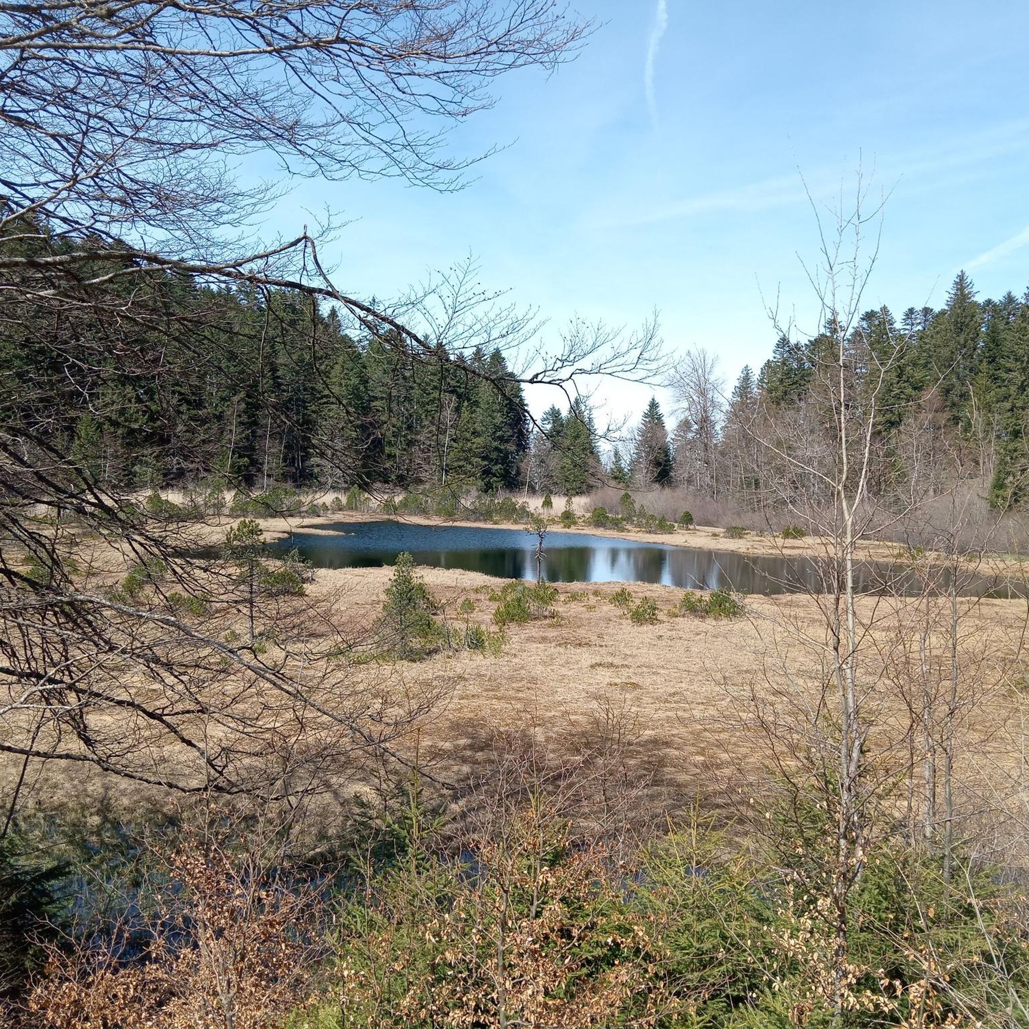
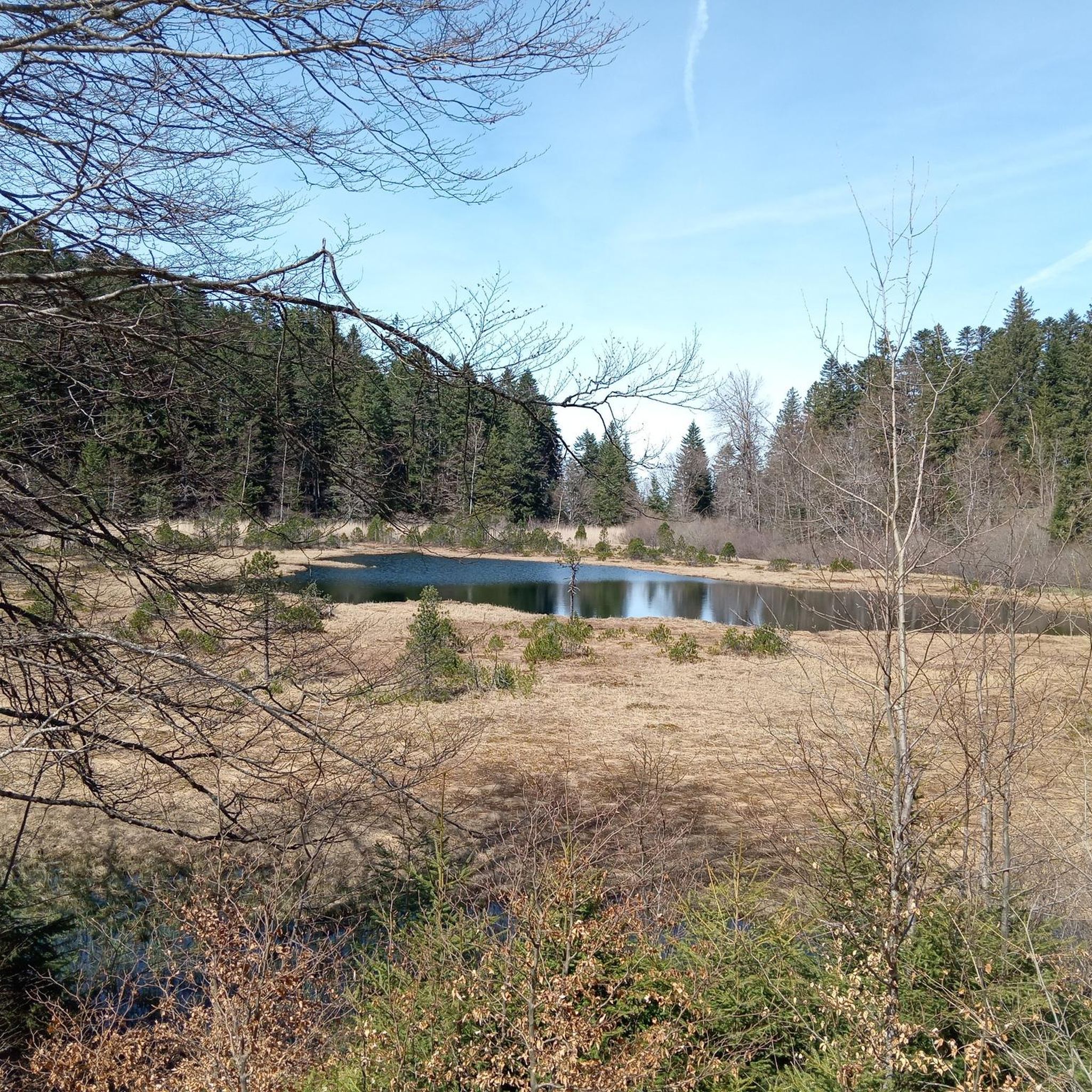
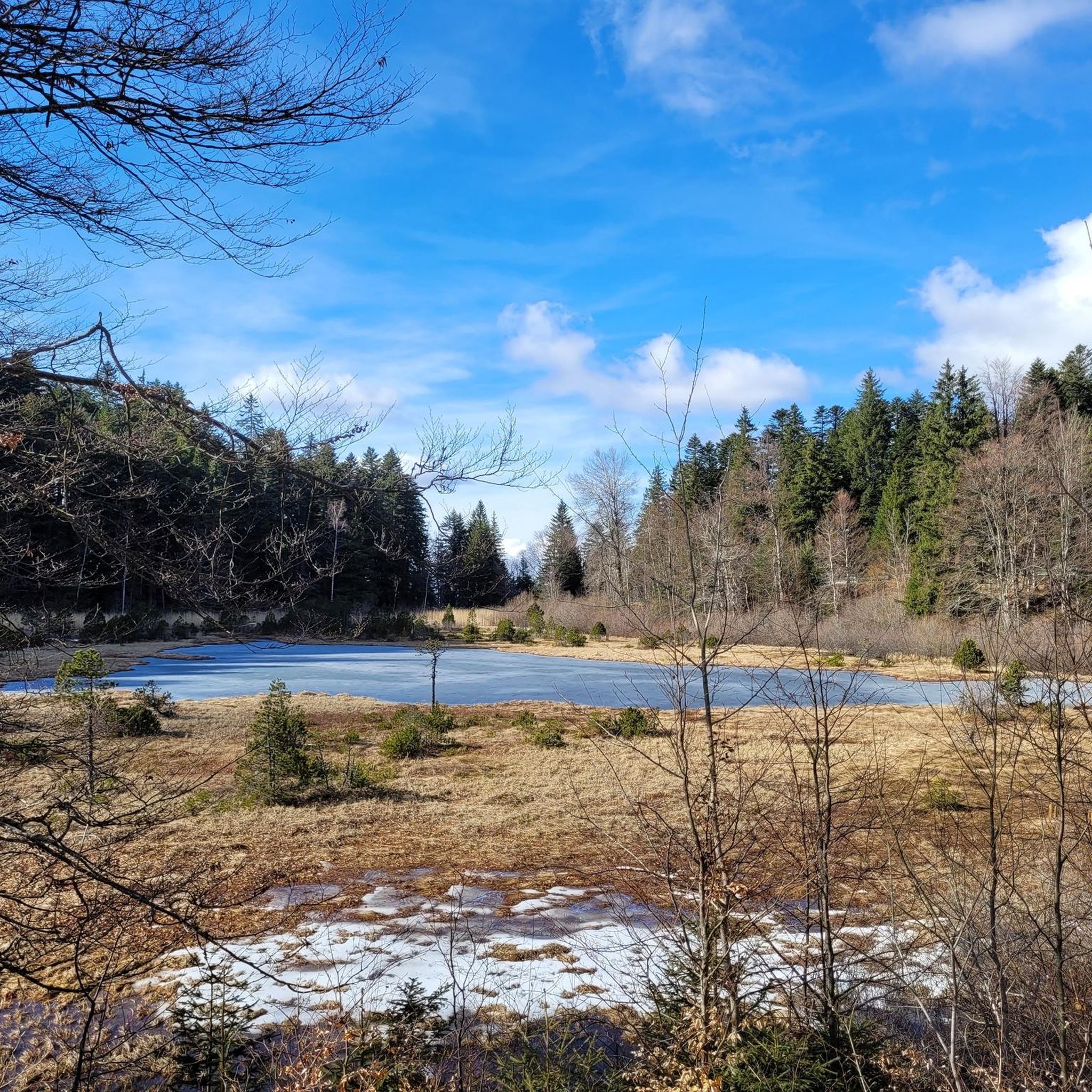
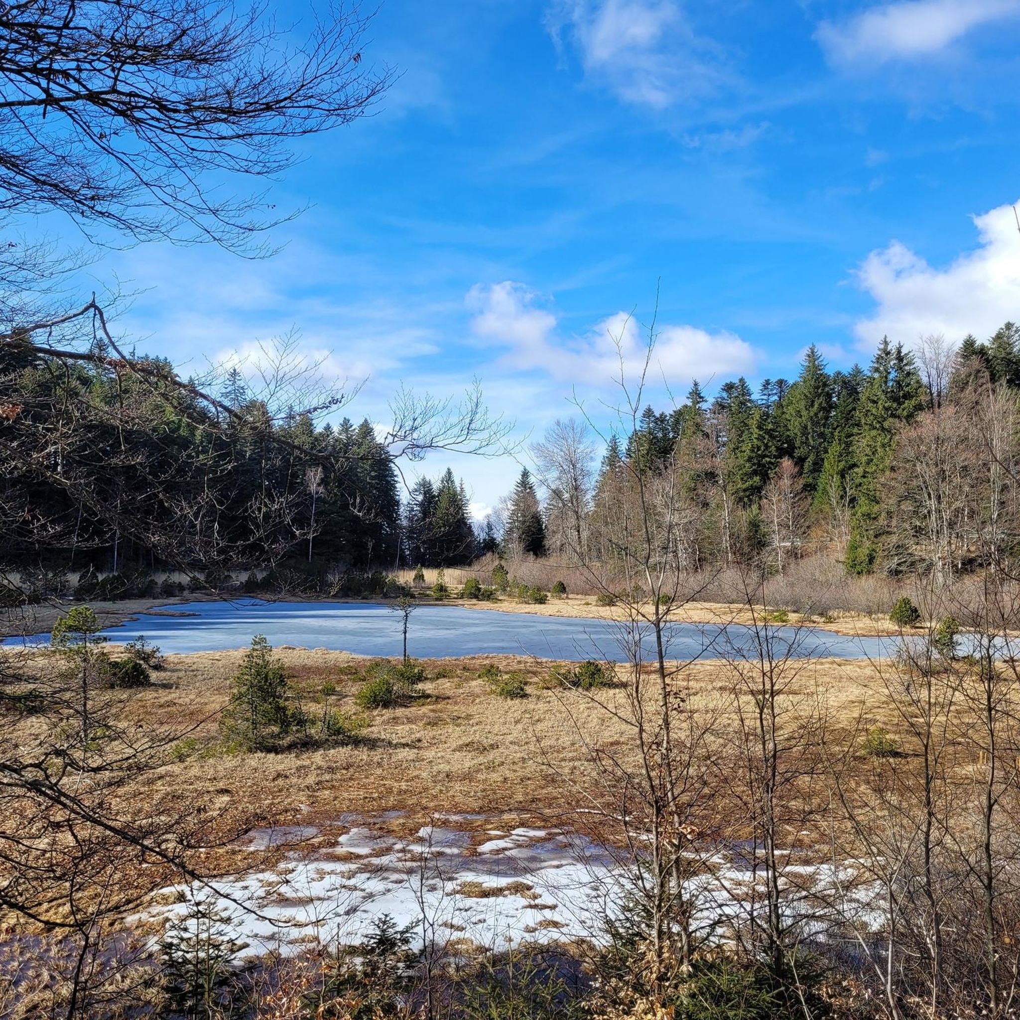
The Luitel Lake National Nature Reserve is the first French nature reserve. It dates from 1961. There are peat bogs, exceptional flora and this pretty lake in front of which you find yourself.
0
0

Col du Luitel from Sechilienne: 10.30 km with an average % of 8.75% and maximum 14.3%
1
0
Course laid out around Lake Luitel
0
0
Nature reserve with a landscaped botanical trail.
0
0

beautiful and practically no traffic!
0
1
Frequently Asked Questions
How many hiking trails are available in the Séchilienne region?
The Séchilienne region offers a network of over 10 hiking trails, catering to various skill levels. These routes explore the diverse landscapes from extensive forests to high-altitude lakes and panoramic viewpoints across the French Northern Alps.
What kind of terrain can I expect when hiking around Séchilienne?
Hikers in Séchilienne will encounter diverse mountainous terrain, ranging from extensive forests (like Lauze and Séchilienne forests) to high-altitude stubble and distinctive red rock formations at higher elevations. The region is part of the Belledonne chain, with altitudes varying significantly from around 600m to peaks reaching 2,500m, offering varied ecological zones.
Are there any easy, family-friendly hikes in Séchilienne?
Yes, Séchilienne offers several easy trails suitable for families. For instance, the Lake Luitel – Luitel Pass loop from Réserve naturelle du lac Luitel is an easy 2.8 km (1.7 miles) trail that can be completed in under an hour, perfect for a leisurely stroll through the natural reserve. The Luitel Lake National Nature Reserve itself features a landscaped botanical trail around the lake, ideal for all ages.
Can I bring my dog on the hiking trails in Séchilienne?
Many trails in the Séchilienne region are dog-friendly, but it's always recommended to check specific regulations for nature reserves or protected areas, such as the Luitel Lake National Nature Reserve, where dogs might need to be kept on a leash to protect local wildlife. Generally, dogs are welcome on most paths, especially outside of sensitive ecological zones.
What are some notable natural landmarks or viewpoints to see while hiking?
Séchilienne is rich in natural landmarks and offers stunning viewpoints. You can visit the unique natural arch of La Pierre Percée, which provides a panoramic view of the Matheysine plateau. The region also features numerous beautiful lakes, including Lake Achard and Lac Fourchu, which are popular hiking destinations. For breathtaking panoramas, consider routes that lead to viewpoints like Beauregard or Grand Galbert.
Are there any circular hiking routes in the Séchilienne area?
Yes, many of the trails in Séchilienne are designed as circular routes, allowing you to start and end at the same point. Examples include the Luitel Botanical Trail – Lake Luitel loop from Col de la Madeleine, a moderate 12.4 km (7.7 miles) hike, and the Luitel Pass – Lake Luitel loop from Réserve naturelle du lac Luitel, which is 9.6 km (5.9 miles). These loops are excellent for exploring the diverse landscapes without retracing your steps.
What is the best time of year to go hiking in Séchilienne?
The best time to hike in Séchilienne is generally from spring through autumn (May to October) when the weather is mild and trails are clear of snow. During these months, you can fully enjoy the diverse flora and fauna, and access higher-altitude trails and lakes. Winter hiking is possible, especially for snowshoeing, but requires appropriate gear and awareness of snow conditions.
Are there any trails that feature lakes or waterways?
Absolutely, the Séchilienne region is dotted with stunning lakes and streams. Many hikes incorporate these beautiful features. For example, the Oeilly Peak – Lake Luitel loop from Réserve naturelle du lac Luitel takes you around the protected environment of Lac Luitel. Other notable lakes accessible via trails include Lac Fourchu, Rif Bruyant stream and lake, and Lake Achard.
What do other hikers enjoy most about hiking in Séchilienne?
The hiking routes in Séchilienne are highly rated by the komoot community, with an average score of 4.5 stars from over 1,400 reviews. Hikers frequently praise the region's diverse landscapes, from lush forests to stunning mountain lakes, and the rewarding panoramic views. The variety of trails, suitable for different ability levels, is also a common highlight.
Are there any historical or cultural attractions near the hiking trails?
While the primary draw of Séchilienne is its natural beauty, you can find cultural attractions nearby. For instance, the magnificent Château de Vizille, with its historical significance and beautiful park, is located within a reasonable distance and can be combined with a hiking trip to the region.
Is public transport available to access trailheads in Séchilienne?
Public transport options to reach trailheads in Séchilienne can be limited, as is common in many alpine regions. While some main villages might have bus connections, accessing specific, more remote trail starting points often requires a car. It's advisable to check local bus schedules in advance if you plan to rely on public transport.
Are there any advanced or challenging hiking routes in Séchilienne?
Yes, for experienced hikers seeking a challenge, Séchilienne offers routes with significant elevation gains and more demanding terrain. The region's altitude range, reaching peaks up to 2,500m, provides opportunities for strenuous ascents to summits like Taillefer and Pyramide, rewarding hikers with extensive views and a true alpine experience.
Most popular routes around Séchilienne
Most popular attractions around Séchilienne

Get inspired with the komoot mobile app


Explore more
Browse the best Hikes in other regions.
