The best walks and hikes around Bleienbach
4.5
(1156)
6,232
hikers
527
hikes
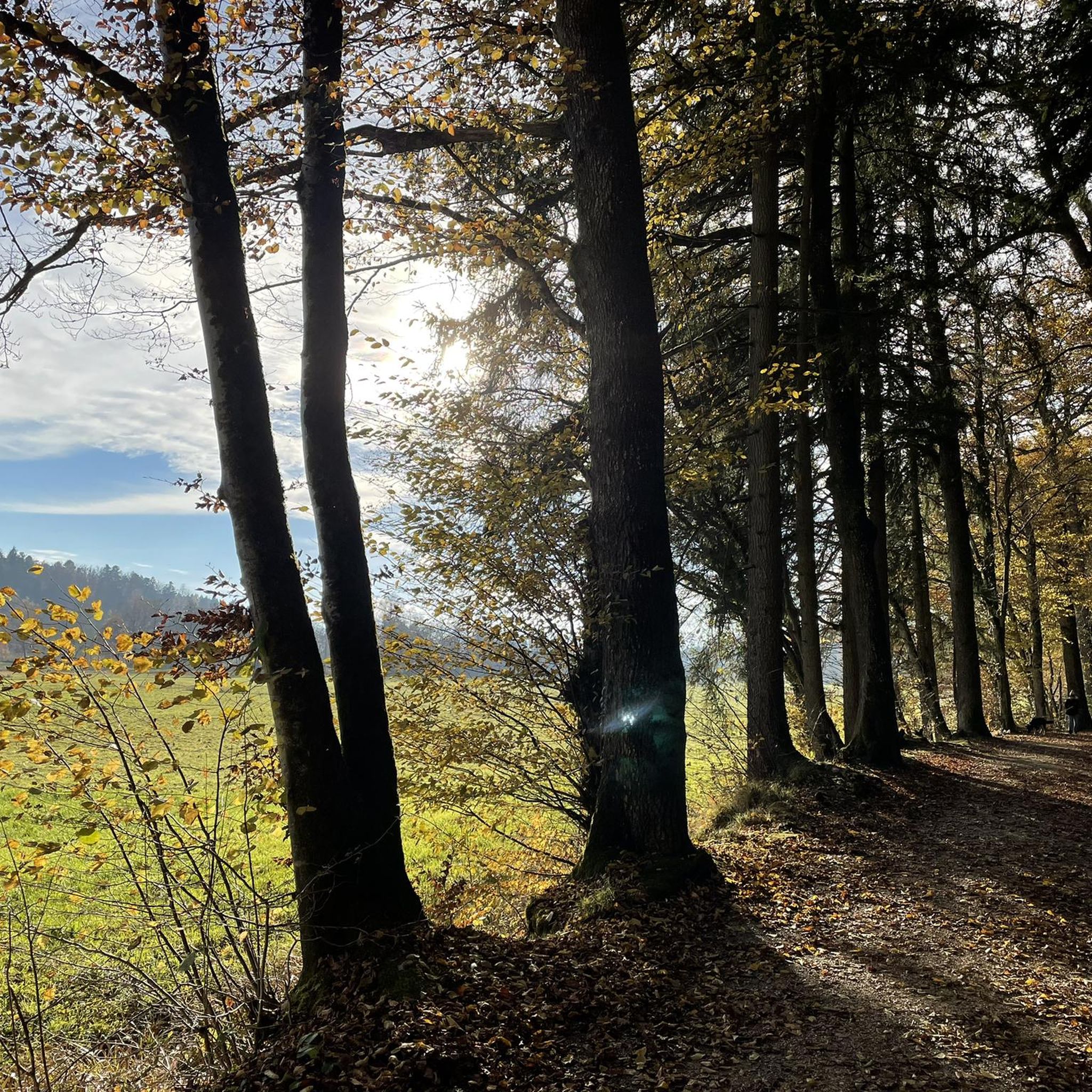
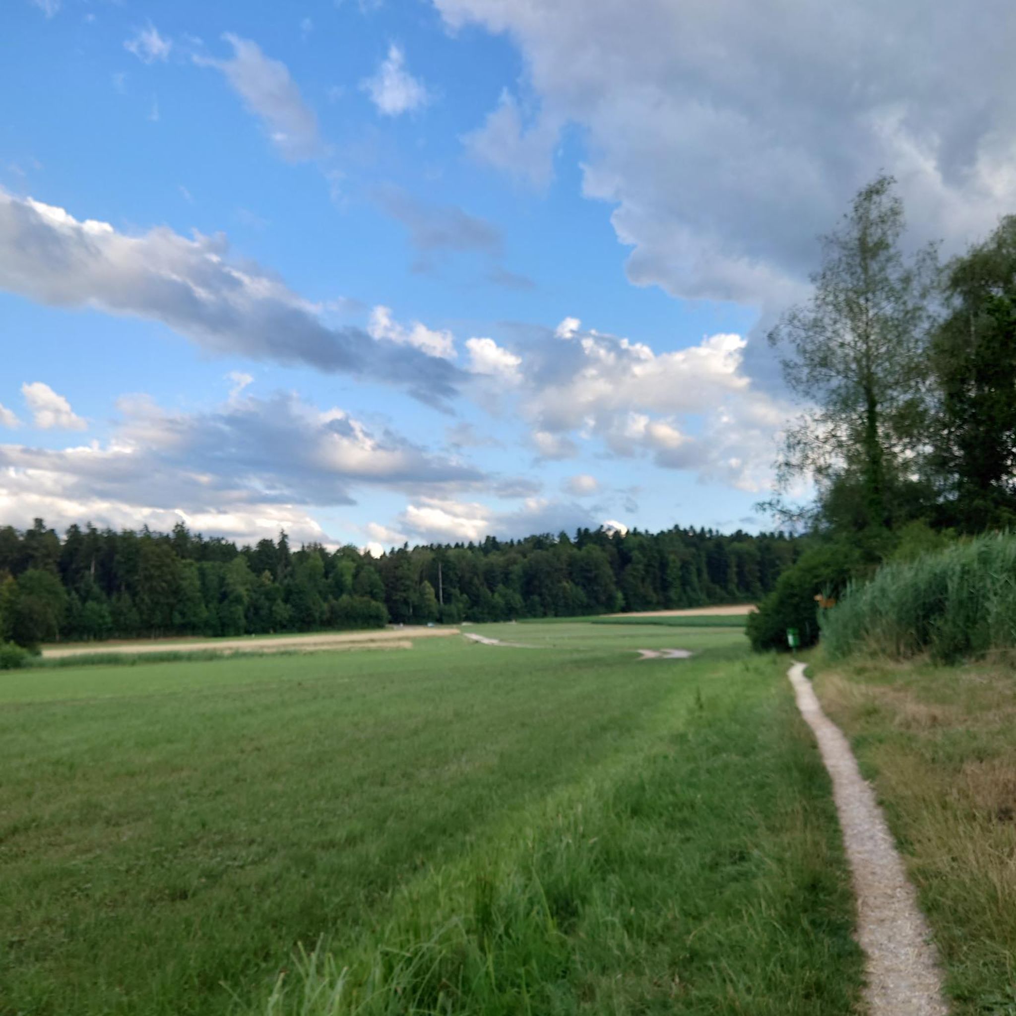
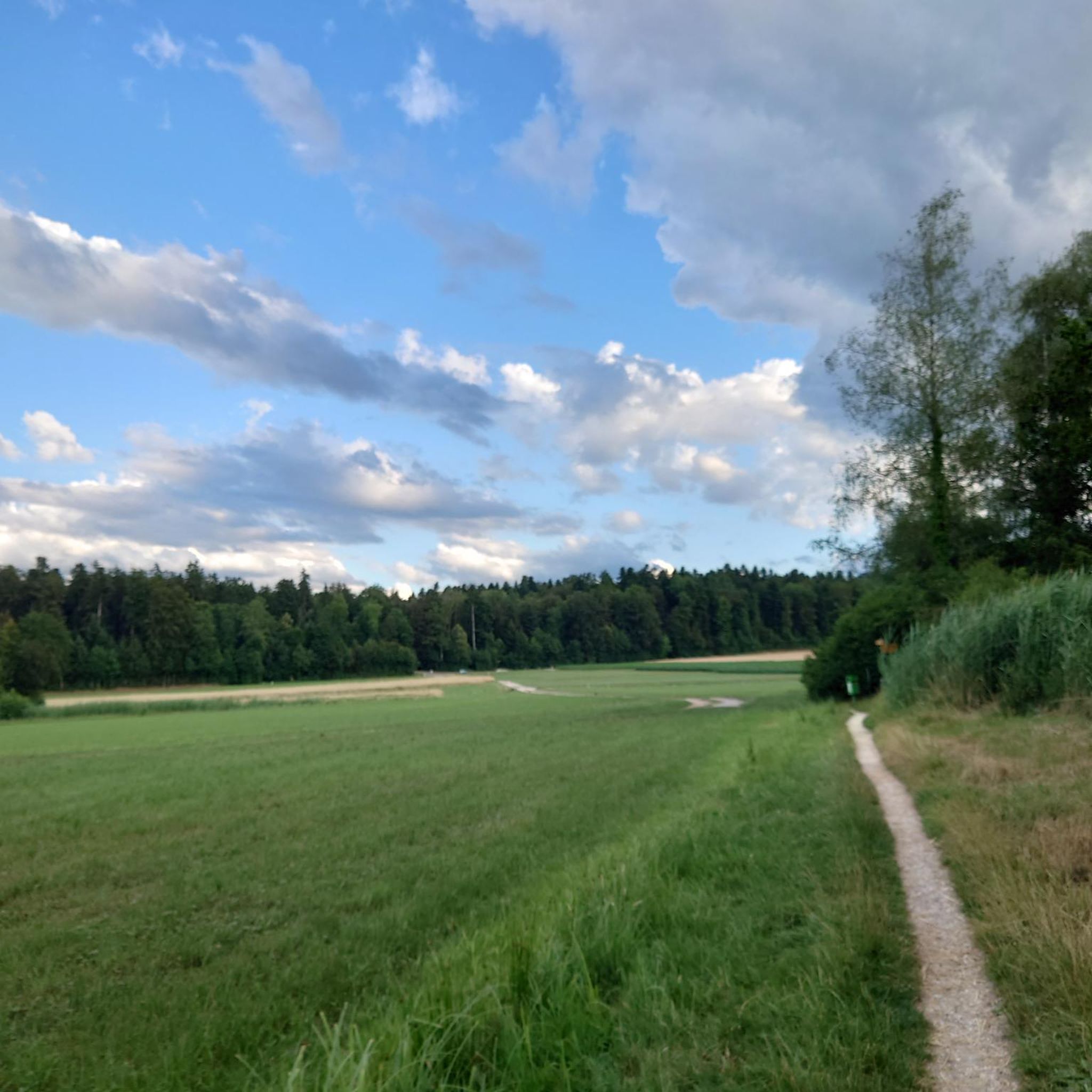
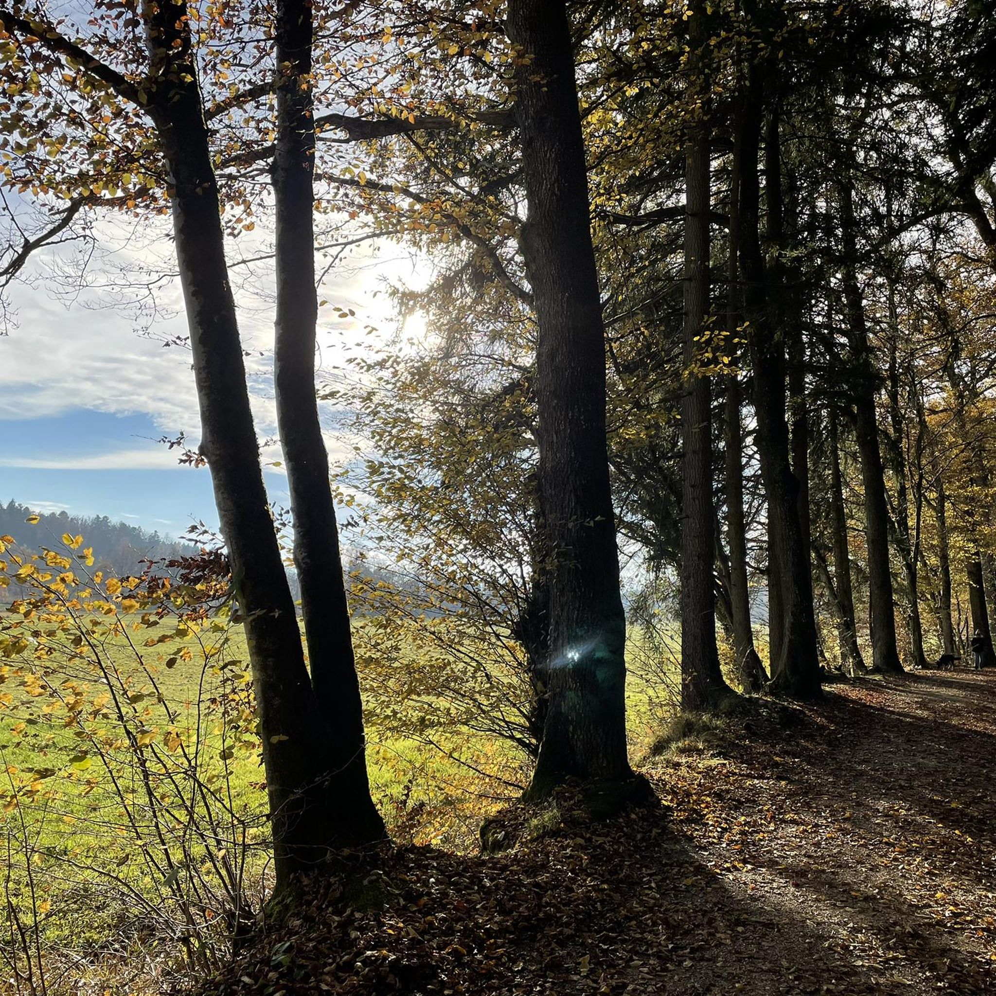
Hiking around Bleienbach offers a diverse landscape characterized by varied terrain, including open fields, tranquil woods, and rolling hills. The region provides panoramic views extending to the distant Alps, the Swiss Plateau, and the Jura mountains. Trails feature both low altitude differences for leisurely walks and moderate elevation gains, with some routes reaching up to 400 meters. This mix of landscapes ensures a dynamic hiking experience for different preferences.
Best hiking trails around Bleienbach
- The most popular hiking route is…
Last updated: August 20, 2026
11
hikers
Easy hike. Great for any fitness level. Easily-accessible paths. Suitable for all skill levels.
4.5
(2)
14
hikers
4.72km
01:17
60m
60m
Easy hike. Great for any fitness level. Easily-accessible paths. Suitable for all skill levels.

Sign up for free
4.0
(2)
10
hikers
9.71km
02:34
90m
90m
Moderate hike. Good fitness required. Easily-accessible paths. Suitable for all skill levels.
5.0
(1)
10
hikers
26.2km
07:04
330m
330m
Hard hike. Very good fitness required. Easily-accessible paths. Suitable for all skill levels.
9
hikers
11.4km
03:03
130m
130m
Moderate hike. Good fitness required. Easily-accessible paths. Suitable for all skill levels.
Get access to more routes and recommendations from other explorers.
Sign up for free
Already have an account?
Our route recommendations are based on thousands of hikes, rides, and runs completed by other people on komoot.
Start today with a free account
Your next adventure awaits.
Login or Signup
Tips from the Community

Very idyllic little pond - nice little walk via Thunstetten Castle.
0
0
Beautiful castle with a small garden - pleasant short circular hike (shady in summer) to the Sängeliweiher.
0
0

very pretty castle with an exciting and long history.
0
0


In about 2.5 hours you can take a wonderful hike from the zoo along the Kobold Trail to Aspisee. I have rarely walked through such a pretty forest. In many places you feel like you are in a fairytale book. Lots of moss, special trees and wonderful winding paths. After a rainy day you run the risk of getting wet feet on some sections of the route ;-)
1
0

Opening times museum and castle café Thunstetten Castle: Castle Sundays: from April to October every second and fourth Sunday of the month (except Whitsun Sunday) from 1:00 p.m. to 5:00 p.m. Admission: free, contribution to the donation box welcome https://www.schloss-thunstetten.ch/de/Museum
0
0

The playground and the barbecue area invite you to have a picnic after the walk :)
0
0
Frequently Asked Questions
How many hiking trails are available around Bleienbach?
There are over 560 hiking routes in the Bleienbach area, offering a wide range of options for different preferences and fitness levels. This includes a mix of easy, moderate, and difficult trails.
What kind of terrain can I expect on hikes in Bleienbach?
The Bleienbach region features diverse terrain, from leisurely paths through open fields and tranquil woods to rolling hills. Some routes have low altitude differences, while others offer moderate elevation gains of around 400 meters, providing a dynamic hiking experience.
Are there any family-friendly hiking options in Bleienbach?
Yes, Bleienbach offers several easy trails suitable for families. For a relaxed outing, consider the Playground with fire pit – Forest Edge Path in Bern loop from Langenthal Süd, which is 5.4 km long and takes about 1 hour 25 minutes to complete.
What are some notable landmarks or viewpoints I can discover while hiking?
Hikers can enjoy rewarding panoramic views extending to the distant Alps, the Swiss Plateau, and the Jura mountains. Prominent features include The Gütsch, which offers beautiful vistas. You can also visit the Hochwacht Observation Tower for excellent views or the historic Wangen an der Aare Covered Wooden Bridge.
Are there any circular hiking routes in the area?
Yes, many trails in Bleienbach are circular. An example is the Sängeliweier loop from Thunstetten, a 9.7 km trail that takes about 2 hours 34 minutes and leads through varied terrain.
What do other hikers enjoy most about the trails around Bleienbach?
The area is highly rated by the komoot community, with an average score of 4.5 stars from over 900 reviews. Hikers often praise the diverse landscapes, from open fields to tranquil woods, and the rewarding panoramic views that make each outing unique.
Are there any trails that pass by lakes or water features?
While the immediate Bleienbach area features paths along streams, the broader region includes several beautiful lakes. You can find trails near Lake Burgäschi or Lake Aspi, which offer serene natural settings.
Is there a difficult trail for experienced hikers?
For experienced hikers seeking a challenge, the Wässermatte Irrigation Meadows – St. Urban Abbey loop from Langenthal Süd is a difficult 26.8 km route with significant elevation changes, taking approximately 7 hours 10 minutes to complete.
What is the best time of year for hiking in Bleienbach?
Bleienbach's diverse landscape is enjoyable throughout much of the year. Spring and autumn offer pleasant temperatures and vibrant scenery, while summer provides longer daylight hours. The varied terrain means some paths are accessible even in milder winter conditions.
Are there any specific attractions or historical sites near the hiking routes?
Yes, besides natural viewpoints, you can explore cultural and historical sites. The St. Urban Abbey is a notable historical site in the vicinity, often incorporated into longer hiking routes.
Where can I find parking for hiking trails in Bleienbach?
Many trailheads in and around Bleienbach offer parking facilities. Specific parking information is usually available on individual route descriptions on komoot, often near starting points in municipalities like Langenthal or Thunstetten.
Can I reach hiking trailheads in Bleienbach using public transport?
Yes, Bleienbach and its surrounding municipalities are generally accessible by public transport. Many trailheads are located near bus stops or train stations, particularly in larger towns like Langenthal, making it convenient to start your hike without a car.
Most popular routes around Bleienbach
Most popular attractions around Bleienbach

Get inspired with the komoot mobile app


Explore more
Browse the best Hikes in other regions.
