The best mountain hikes around Larringes
4.6
(22)
110
hikers
10
hikes
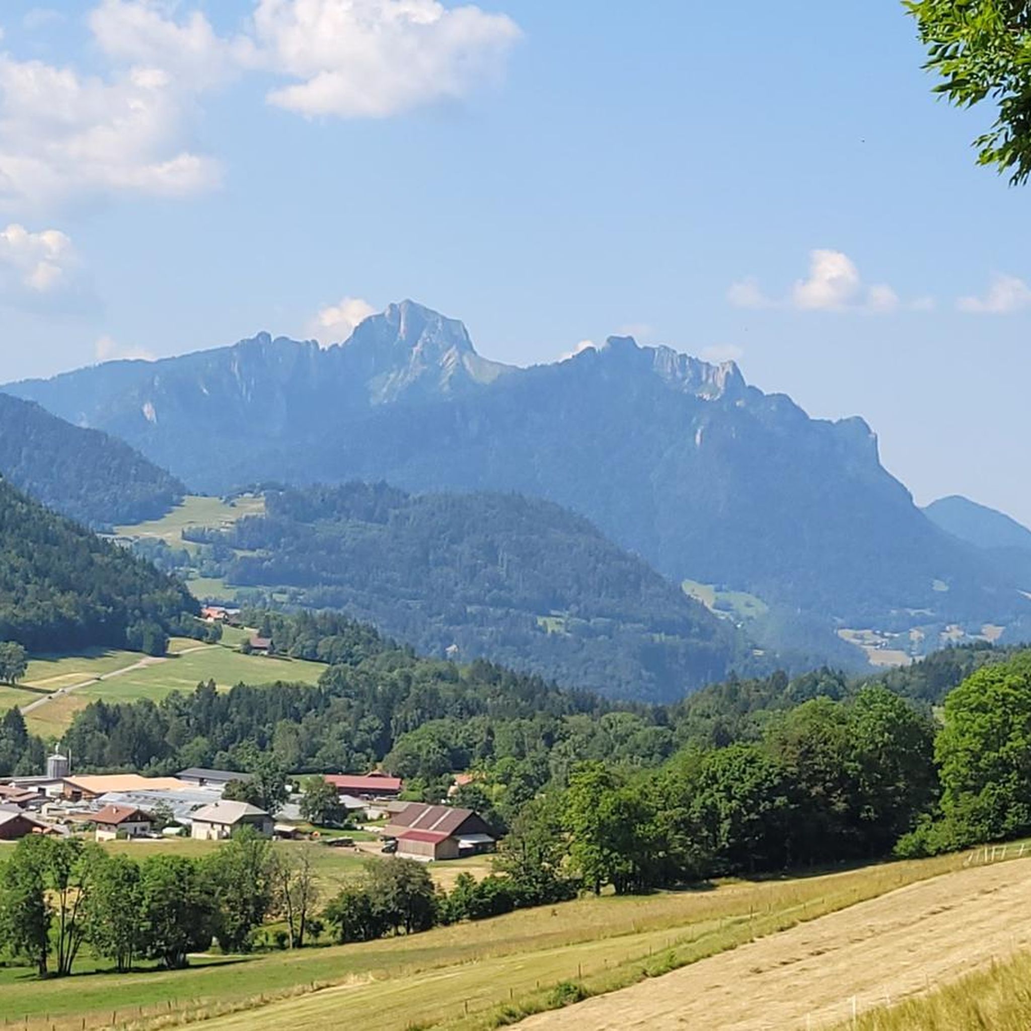
Mountaineering routes around Larringes are situated in the mountainous region of Haute-Savoie, characterized by prominent peaks like Dent d'Oche and diverse alpine terrain. The area features a mix of high-altitude lakes, mountain passes, and panoramic viewpoints over the Chablais region. These routes often traverse open alpine meadows, rocky ascents, and forested sections, providing varied challenges for mountaineers.
Best mountaineering routes around Larringes
- The most popular mountaineering route is Dent d'Oche loop from Dent d'Oche, a difficult 5.2 miles (8.4…
Last updated: July 3, 2026
4.6
(5)
38
hikers
8.49km
04:36
890m
890m
Hard mountaineering route. Good fitness required. Sure-footedness, sturdy shoes and alpine experience required.
4.8
(5)
17
hikers
9.65km
03:39
550m
550m
Moderate mountaineering route. Good fitness required. Mostly accessible paths. Sure-footedness required.

Sign up for free
4.7
(3)
9
hikers
8.06km
03:22
640m
640m
Moderate mountaineering route. Good fitness required. Mostly accessible paths. Sure-footedness required.
7
hikers
15.6km
05:54
1,010m
1,010m
Hard mountaineering route. Very good fitness required. Mostly accessible paths. Sure-footedness required.
5.0
(1)
7
hikers
9.81km
04:58
930m
930m
Hard mountaineering route. Very good fitness required. Sure-footedness, sturdy shoes and alpine experience required.
Get access to more routes and recommendations from other explorers.
Sign up for free
Already have an account?
Our route recommendations are based on thousands of hikes, rides, and runs completed by other people on komoot.
Start today with a free account
Your next adventure awaits.
Login or Signup
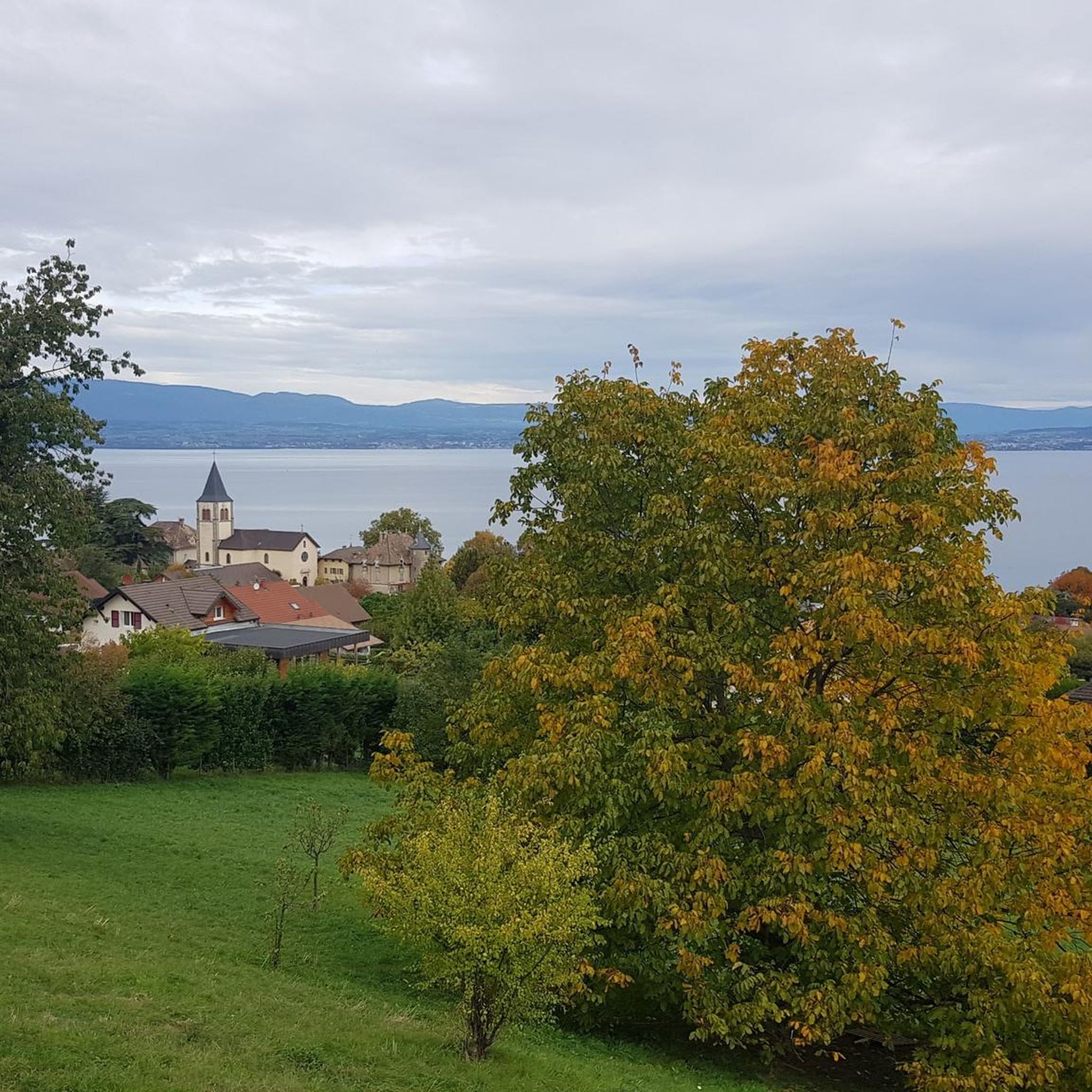
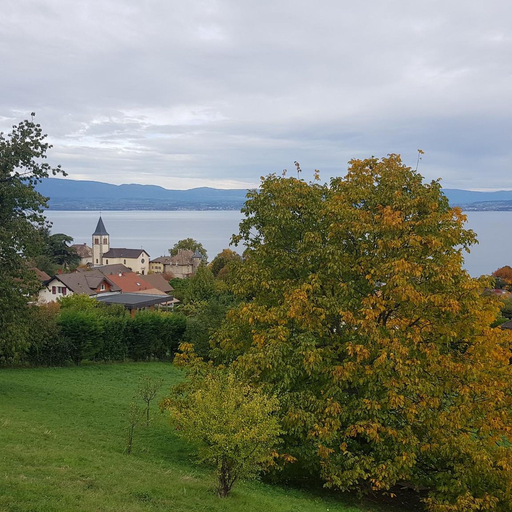
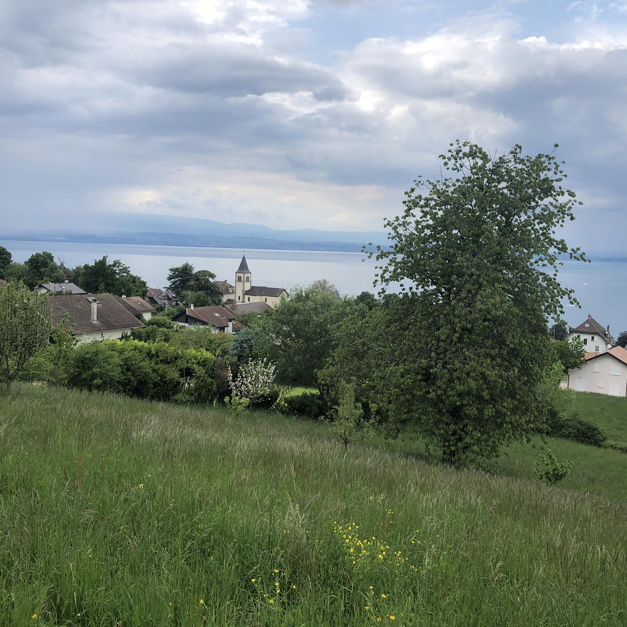
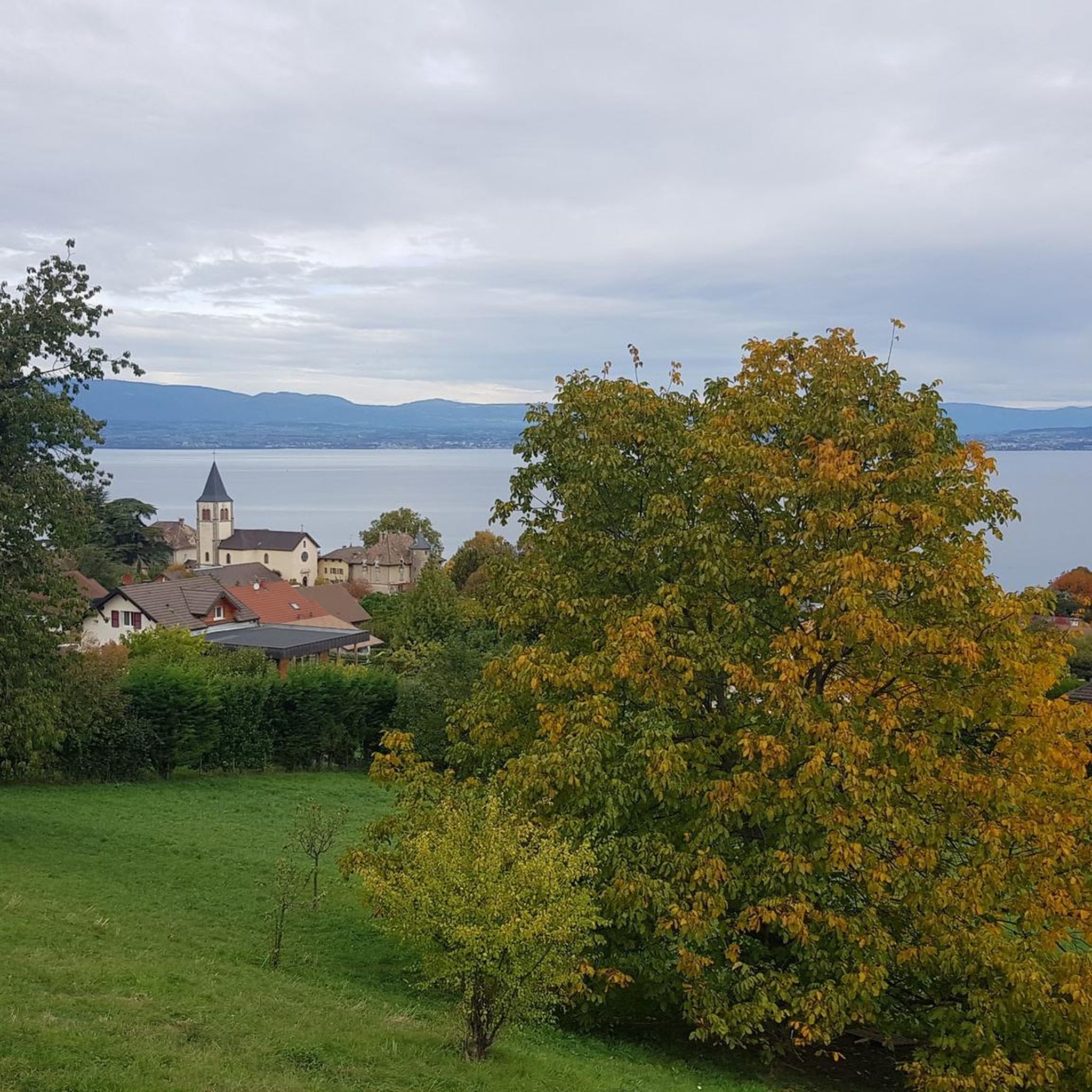
Tips from the Community

A very beautiful peak. Its striking shape attracted me from a distance. That's what a mountain should be like. Some climbing required. Great view. The Chablais is a very beautiful mountain range. Visible as far as Mont Blanc.
1
0

Difficult to access, but the view is worth the detour. The prices are not excessive.
1
0

A beautiful viewpoint overlooking French-speaking Switzerland.
0
0

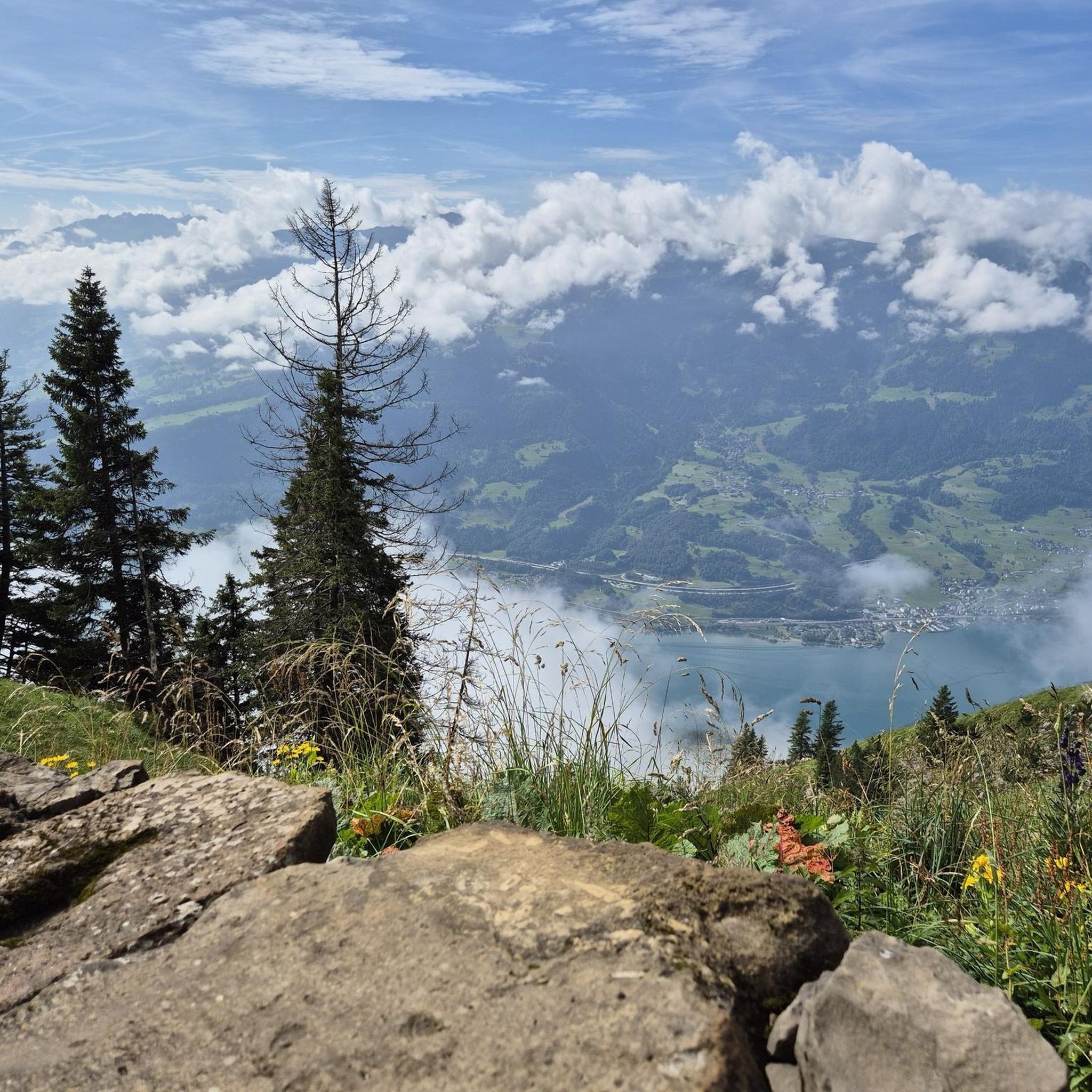
You have a beautiful view of Lake Geneva.
4
0

On the French side, the first hills from Lake Geneva offer a charming hilly landscape before attacking the real mountain. The view of the lake is delightful.
0
0

Beautiful view from the mountain station, the short walk to the Pic de Mémises is also worth it.
3
0

Beautiful hut with a breathtaking view on Lac du Leman and the Alps!
1
1

On September 3rd, 2023 we hiked along both edges of the Mémises in bright sunshine.
0
0
Frequently Asked Questions
How many mountaineering routes are available around Larringes?
There are 10 mountaineering routes documented around Larringes, offering a variety of experiences for different skill levels. These include 6 moderate and 4 difficult trails.
What do other mountaineers say about the routes in Larringes?
The mountaineering routes in Larringes are highly rated by the komoot community, with an average score of 4.6 out of 5 stars from over 20 reviews. Users frequently praise the diverse alpine terrain, prominent peaks like Dent d'Oche, and the scenic lake views.
Are there any moderate mountaineering routes suitable for less experienced hikers in Larringes?
Yes, Larringes offers 6 moderate mountaineering routes. A good option is the Lac de la Case – Retenue collinaire de Pelluaz loop from Dent d'Oche, which is 5.1 miles (8.2 km) long and features scenic lake views and high-altitude reservoirs.
Are there any family-friendly mountaineering options around Larringes?
While many routes are challenging, some of the moderate trails can be suitable for families with older children who are accustomed to hiking. The View of the Chablais loop from Bernex is a moderate 7.8 km route that offers rewarding views without extreme difficulty, making it a potential option for active families.
What are some challenging mountaineering routes for advanced hikers in Larringes?
For advanced mountaineers, the Dent d'Oche loop from Dent d'Oche is a difficult 5.2 miles (8.4 km) trail with challenging ascents and expansive alpine vistas. Another demanding option is the Pointe de Pelluaz – Col de la Case d'Oche loop from Bernex, a 9.7 miles (15.6 km) trail leading through high mountain passes.
Are there any circular mountaineering trails in the Larringes area?
Yes, many of the mountaineering routes around Larringes are circular. Examples include the Lac de la Case – Château d'Oche loop from Dent d'Oche, a difficult 9.8 km route, and the moderate View of the Chablais loop from Bernex.
What is the best time of year for mountaineering in Larringes?
The best time for mountaineering in Larringes is typically from late spring to early autumn (June to September) when the weather is more stable, and trails are generally free of snow. However, conditions can vary at higher altitudes, so always check local forecasts.
What kind of natural landmarks can I see along the mountaineering routes?
The routes often pass by significant natural landmarks. You can encounter prominent peaks like the Dent d'Oche summit, enjoy panoramic views from Belvedere Park, or explore the dramatic The Gorges of Pont du Diable. Many routes also feature high-altitude lakes and mountain passes.
Are there any mountain passes to explore near Larringes?
Yes, the region around Larringes is known for its mountain passes. Notable ones include Col du Corbier (1230 m), Col du Feu, and Rebollion Pass. These passes often offer stunning views and are integral to many mountaineering routes.
Is parking available near the trailheads in Larringes?
Parking is generally available at common starting points for mountaineering routes, such as near Dent d'Oche or Bernex. Specific parking details can often be found on individual route pages or local tourism information for the Haute-Savoie region.
Can I access mountaineering routes in Larringes using public transport?
Access to some trailheads may be possible via local bus services, particularly during peak tourist seasons. However, public transport options can be limited in mountainous regions. It's advisable to check the local bus schedules for the Chablais region or Bernex before planning your trip.
Most popular routes around Larringes
Most popular attractions around Larringes

Get inspired with the komoot mobile app


Explore more
Browse the best Mountain Hikes & Routes in other regions.
