The best road cycling routes around Champagnier
4.4
(2144)
45,756
riders
244
rides
Road cycling around Champagnier offers diverse landscapes and varied terrain, situated on a plateau south of Grenoble. The region is characterized by its elevated position, providing both challenging climbs and rewarding descents, nestled between the Grésivaudan and Drac valleys. Well-paved roads are suitable for road bikes, ranging from gentle climbs on the Champagnier plateau to demanding ascents of mountain passes. This area provides a network of routes with significant elevation gains and descents, catering to different fitness levels.
Best road…
Last updated: October 9, 2026
4.8
(28)
1,186
riders
111km
05:33
1,710m
1,710m
Hard road ride. Very good fitness required. Mostly well-paved surfaces and easy to ride.
4.5
(13)
733
riders
101km
05:28
1,920m
1,920m
Hard road ride. Very good fitness required. Some segments of this route may be unpaved and difficult to ride.

4.4
(21)
650
riders
107km
05:23
1,730m
1,730m
Hard road ride. Very good fitness required. Some segments of this route may be unpaved and difficult to ride.
4.8
(13)
230
riders
Moderate road ride. Good fitness required. Mostly well-paved surfaces and easy to ride.
4.4
(36)
976
riders
69.8km
02:39
160m
160m
Moderate road ride. Good fitness required. Mostly well-paved surfaces and easy to ride.
Get access to more routes and recommendations from other explorers.
Already have an account?
Our route recommendations are based on thousands of hikes, rides, and runs completed by other people on komoot.
Start today with a free account
Your next adventure awaits.
Tips from the Community

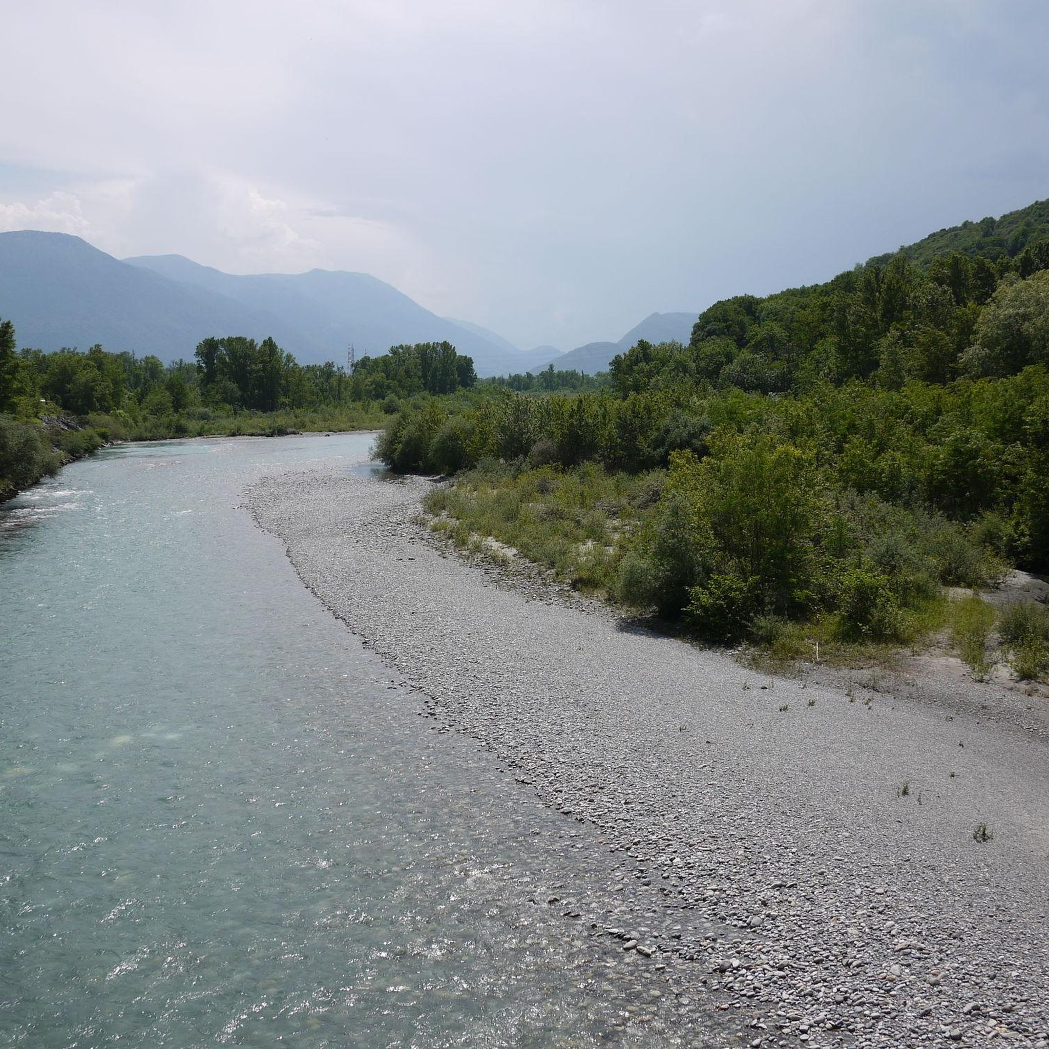
Summer is a very pleasant small road by bike, it's cool and there is little traffic. In winter, it can be very cold
0
0

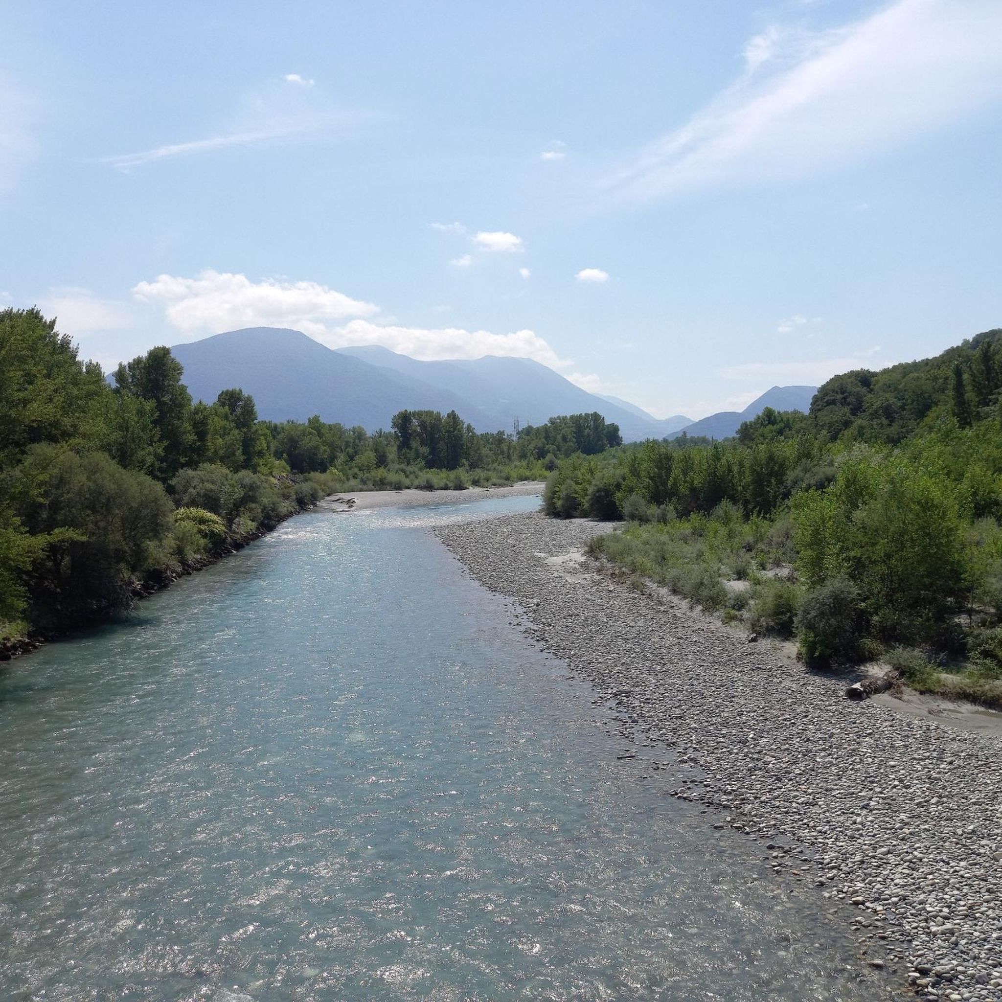
The La Véloroute de l'Isère, officially integrated into the national route La Belle Via (referenced under number V63), is a cycling route of over 200 kilometers that runs along the Isère river. It connects the foothills of Savoie to the Drôme (connection with ViaRhôna), by crossing the entire department of Isère and its capital, Grenoble.
0
0

Spectacular road carved into the rock in the heart of the Vercors. Vertical walls, numerous tunnels, and the Bourne stream accompany the route in a wild and evocative setting. One of the most scenic roads in the Vercors, not to be missed by bicycle.
10
0
The col de la Croix Perrin, located at an altitude of 1218m on the border of the municipalities of Autrans-Méaudre en Vercors and Lans-en-Vercors, is a major site for forestry, hospitality, and history. Here you take the direction of the Espace Naturel Sensible de la Molière-Sornin. It is said that here, a certain Mr. Perrin had an unfortunate encounter with a bear, when they were still present in the Vercors.
0
0
Autrans-Méaudre en Vercors is a new commune, born from the fusion of the villages of Autrans and Méaudre on January 1, 2016.
0
0


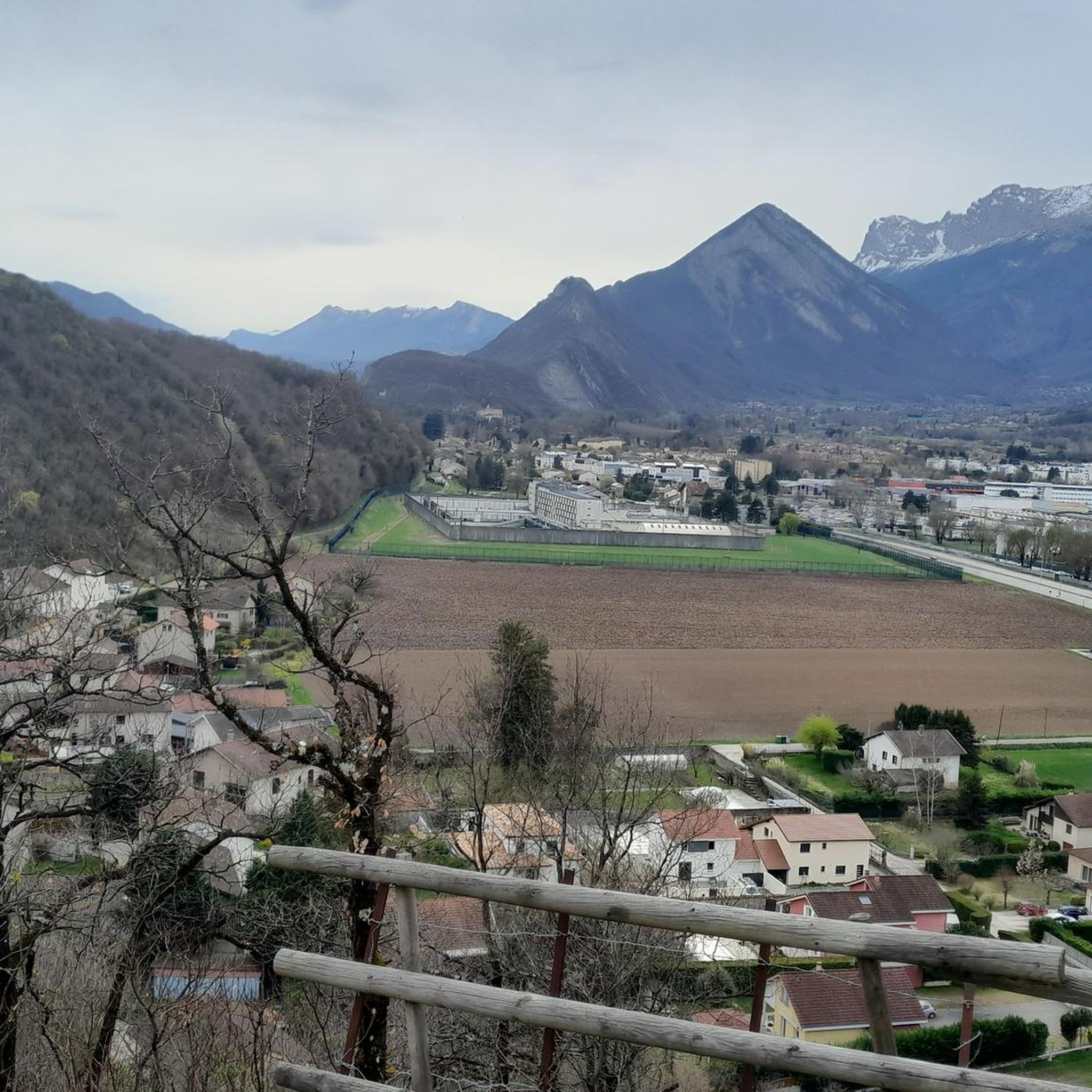
The most direct passage to leave Grenoble by the South following the Drac Decathlon Comboire is just to the south
0
0
This is a well-known spot for mushroom pickers. At the top of the pass, there is a very nice restaurant
0
0
Frequently Asked Questions
How many road cycling routes are available around Champagnier?
There are over 290 road cycling routes around Champagnier, offering a wide range of options for different skill levels. These routes are highly rated by the komoot community, with an average score of 4.4 stars from over 2200 reviews.
What kind of terrain can I expect on road cycling routes in Champagnier?
Road cycling routes in Champagnier feature diverse terrain, from gentle climbs on the Champagnier plateau to demanding ascents of mountain passes. You'll find well-paved roads suitable for road bikes, with options ranging from easy rides to hard climbs with significant elevation gains, thanks to the region's proximity to the Vercors, Belledonne, and Chartreuse mountain ranges.
Are there any challenging road cycling routes for experienced riders?
Yes, Champagnier offers several challenging routes with substantial elevation gains. For instance, the Granier Pass – Col de Porte loop from Pont de Claix L'Étoile is a difficult 136.7 km ride with over 3,300 meters of elevation. Another demanding option is the Col de la Morte – La Morte Pass (1,370 m) loop from Pont-de-Claix, covering 64 km with over 1,250 meters of ascent.
Are there any moderate road cycling routes suitable for intermediate cyclists?
Absolutely. For a moderate challenge, consider the View of the Vercors Mountains – Collet of Sinard, 900 m loop from Pont de Claix L'Étoile, which is a 59.2 km ride with about 790 meters of climbing. Another popular moderate option is the Étang de Haute-Jarrie – Col des Quatre Seigneurs loop from Champagnier, a 33.7 km trail with around 750 meters of ascent.
What scenic viewpoints or natural features can I expect along the routes?
Many routes offer breathtaking panoramic views, including vistas of the Belledonne and Chartreuse mountains from the Champagnier plateau. You can also enjoy views of the Vercors mountains, as highlighted in routes like the View of the Vercors Mountains – Collet of Sinard, 900 m loop. The region is rich in natural beauty, with access to the Vercors and Chartreuse Regional Natural Parks.
Are there any family-friendly or easier road cycling routes?
Yes, for a less strenuous ride, the Saint-Égrève Dam-Bridge – V63 cycle route loop from Pont de Claix L'Étoile is a moderate 69.8 km path with a lower elevation gain of about 160 meters, making it suitable for a more relaxed pace or families with older children.
What attractions can I visit near the road cycling routes in Champagnier?
While cycling, you can explore several notable attractions. The historic Château de Vizille, housing the Museum of the Revolution, is a short distance away. For natural landmarks, you might encounter peaks like Saint-Michel Peak or The Moucherotte Summit, offering stunning views.
Are there circular road cycling routes available?
Yes, many of the road cycling routes around Champagnier are designed as loops, allowing you to start and end at the same point. Examples include the challenging Granier Pass – Col de Porte loop and the moderate Étang de Haute-Jarrie – Col des Quatre Seigneurs loop.
What is the best time of year for road cycling in Champagnier?
The region's diverse landscapes and mountain passes suggest that spring, summer, and early autumn would be ideal for road cycling in Champagnier. These seasons generally offer more favorable weather conditions for tackling both the plateau's gentle climbs and the more strenuous mountain ascents.
What do other road cyclists enjoy most about the routes in Champagnier?
The komoot community highly rates road cycling in Champagnier, with an average score of 4.4 stars. Cyclists often praise the diverse landscapes, the well-maintained roads, and the variety of routes that cater to all fitness levels, from easy rides to challenging mountain climbs with spectacular views of the Vercors, Belledonne, and Chartreuse ranges.
Is there public transport access to the cycling routes in Champagnier?
Champagnier is located in the Isère department, and public transport options, particularly from nearby Grenoble, can provide access points to the region. While specific route starting points like Pont de Claix L'Étoile are mentioned, it's advisable to check local bus or train schedules for connections to these areas to plan your cycling trip effectively.
Are there opportunities for long-distance road cycling in the area?
Yes, Champagnier serves as an excellent base for long-distance road cycling. Routes like the Granier Pass – Col de Porte loop, which spans over 136 km, demonstrate the potential for extensive rides that traverse significant mountain terrain and offer substantial mileage for endurance cyclists.
Most popular routes around Champagnier
Most popular attractions around Champagnier

Get inspired with the komoot mobile app


Explore more
Browse the best Road cycling routes in other regions.
