The best running trails around Bonne
4.5
(104)
3,783
runners
17
runs
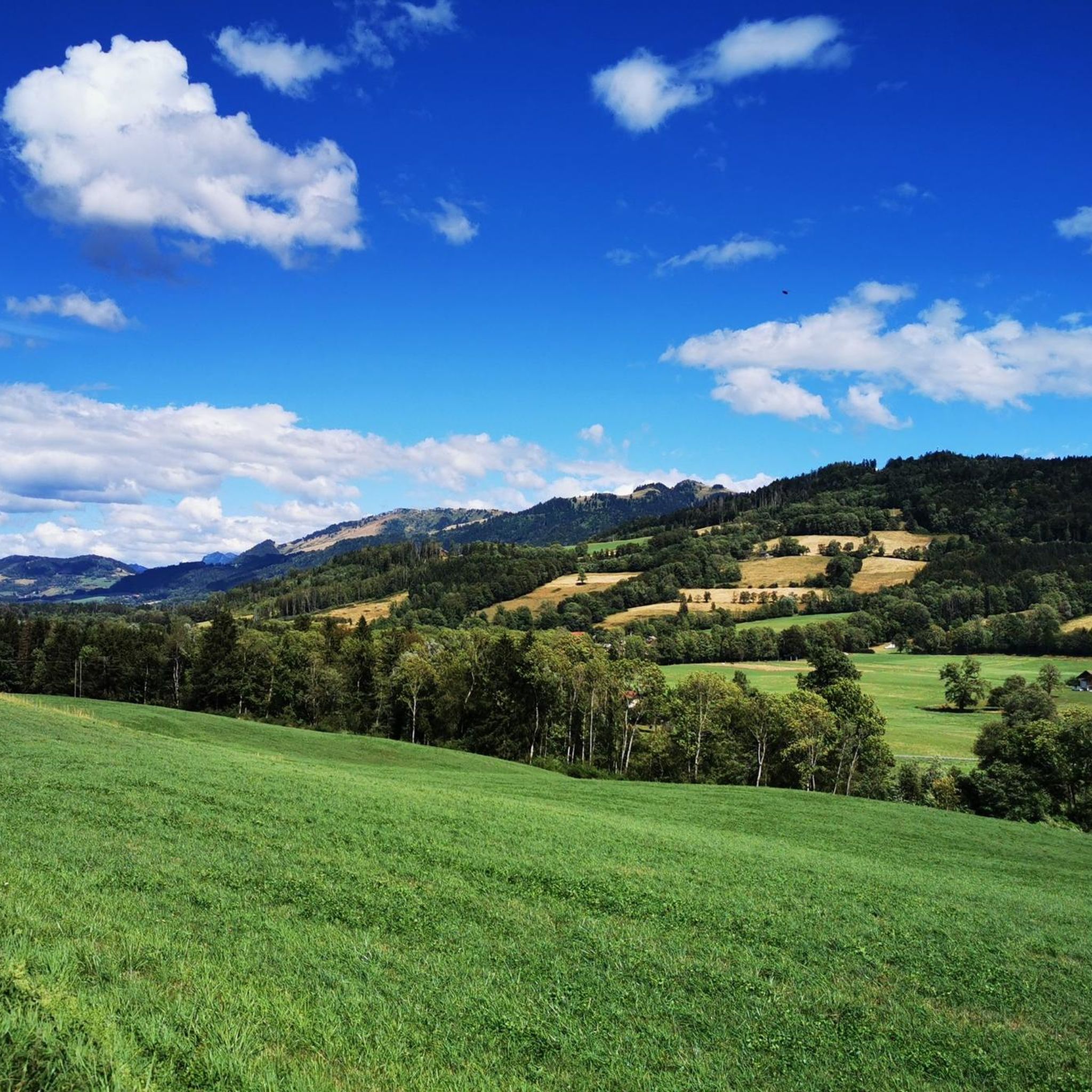
Jogging around Bonne offers a diverse landscape for runners, characterized by varied terrain that includes gentle valleys and more challenging hilly sections. The region features a network of running routes with elevations ranging from relatively flat paths to significant climbs. These trails provide opportunities for different levels of running, from easy loops to more demanding ascents.
Best jogging routes around Bonne
- The most popular jogging route is Petite menoge loop from Bonne, a 7.4 miles (11.9 km) trail that…
Last updated: June 28, 2026
5.0
(1)
76
runners
11.9km
01:21
190m
190m
Moderate run. Good fitness required. Mostly paved surfaces. Suitable for all skill levels.
5.0
(1)
33
runners
7.57km
00:49
100m
100m
Moderate run. Good fitness required. Mostly paved surfaces. Suitable for all skill levels.

Sign up for free
47
runners
18.3km
02:39
950m
950m
Hard run. Very good fitness required. Sure-footedness, sturdy shoes and alpine experience required.
20
runners
3.29km
00:20
20m
20m
Easy run. Great for any fitness level. Mostly paved surfaces. Suitable for all skill levels.
11
runners
10.3km
01:04
70m
70m
Moderate run. Good fitness required. Mostly paved surfaces. Suitable for all skill levels.
Get access to more routes and recommendations from other explorers.
Sign up for free
Already have an account?
Our route recommendations are based on thousands of hikes, rides, and runs completed by other people on komoot.
Start today with a free account
Your next adventure awaits.
Login or Signup

Tips from the Community

No bicycle access to the summit. Highest point of the road
0
0

Impressive views and good trails.
1
0

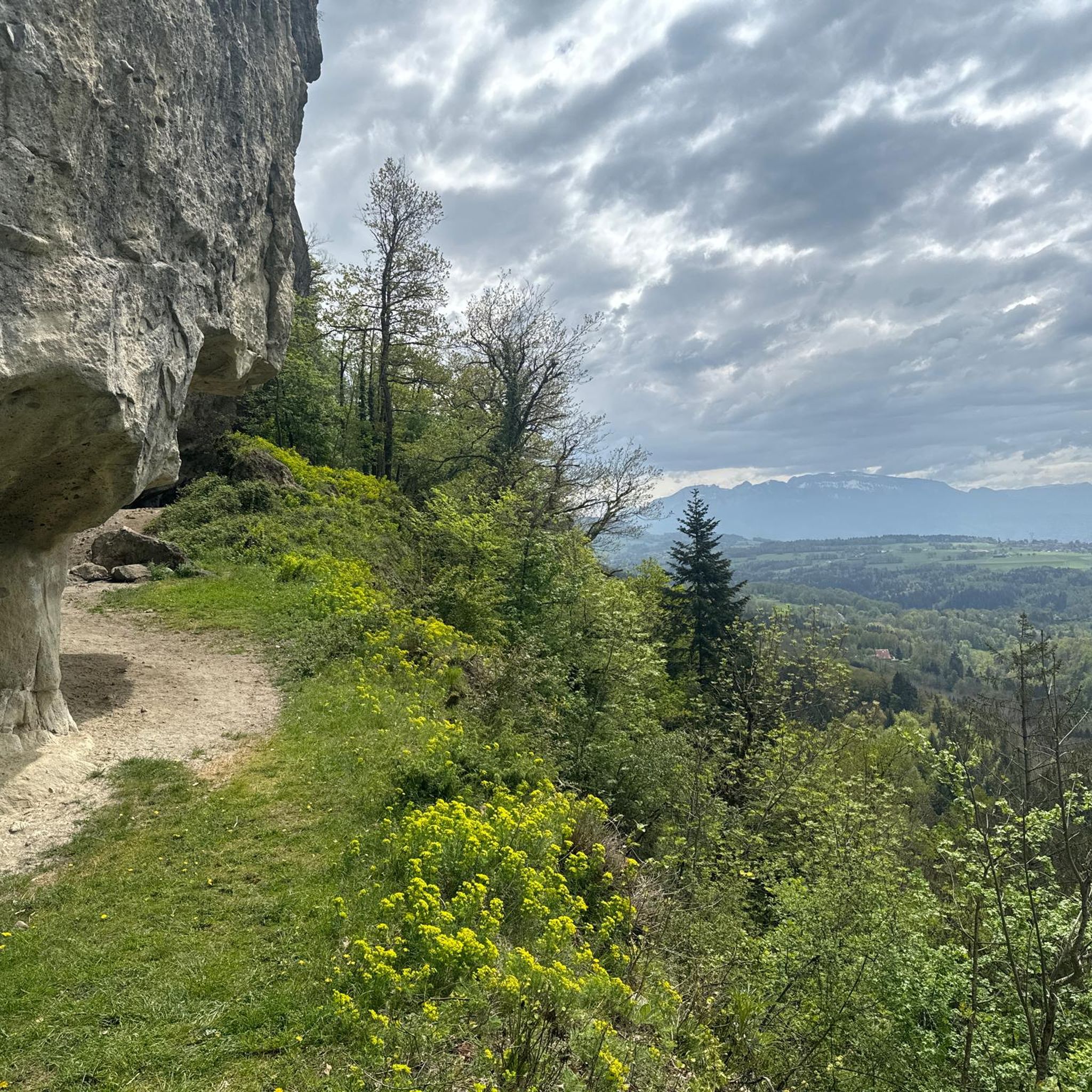
The Voirons signal, culminating at 1,485 meters, offers an exceptional panorama of the Alps, the Jura, and on a clear day, Mont Blanc. Accessible through the Voirons forest, this viewpoint is worth it, but the reward is breathtaking. The trails wind between fir trees and beech trees, offering glimpses of the Geneva Valley and the lake below. Perfect for a contemplative break, it is a popular site for mountain bikers and nature lovers.
6
0


The Pointe de Brantaz offers a magnificent view, if you go up the short slope from the indication panel located directly on the GR.
2
1

The end of the road is here on a racing bike. But I can only recommend everyone to piggyback the bike (or leave it there) and climb the last 200 m up the forest path. There you have a 360 degree panoramic view that quickly makes you forget the tedious ascent and descent.
1
0
Frequently Asked Questions
How many running routes are available around Bonne?
There are over 19 dedicated jogging routes around Bonne, catering to various fitness levels and preferences. These include easy, moderate, and difficult trails.
Are there any easy running routes for beginners in Bonne?
Yes, Bonne offers several easy running paths suitable for beginners. One example is the Running loop from Nangy, which is 3.2 km long with minimal elevation changes.
What kind of terrain can I expect on the jogging trails near Bonne?
The jogging trails around Bonne feature varied terrain, from gentle valleys to more challenging hilly sections. You'll find a mix of paths with different elevation profiles, offering options for both relaxed runs and more demanding ascents.
What do other runners enjoy most about jogging in Bonne?
The running routes in Bonne are highly rated by the komoot community, with an average score of 4.5 stars from over 100 reviews. Runners often praise the varied elevations, green valleys, and the diverse local loops that cater to different ability levels.
Are there any longer, more challenging running routes in the Bonne area?
For those seeking a challenge, Bonne offers more demanding routes. A notable difficult trail is the Pointe de Brantaz – Le Pralère loop from Bonne, which spans 17.4 km with significant elevation gains.
Can I find circular running trails around Bonne?
Yes, many of the running routes around Bonne are designed as loops, allowing you to start and finish in the same location. Examples include the popular Petite menoge loop from Bonne and the Running loop from Bonne.
Are there any natural attractions or landmarks to see while running near Bonne?
Yes, the Bonne region features several natural attractions. You can explore areas with lakes like La Gouille aux Morts or Ponds on the banks of the Arve. There are also natural monuments such as Orjobet Cave and the Trou de la Tine, offering interesting sights along your run.
Are there any historical sites or viewpoints along the running paths?
While running, you might encounter historical elements like the Château de Rouelbeau Ruins. Additionally, some routes offer scenic viewpoints, such as the View of Geneva and Lake Geneva, providing stunning panoramas.
What is the average length of running routes in Bonne?
The running routes in Bonne vary in length. For instance, the Petite menoge loop from Bonne is 11.9 km, while the Green Valley loop from Nangy is 6.7 km. There are options for shorter and longer runs to suit different preferences.
Are there running routes that pass through green valleys?
Absolutely. The region is known for its green valleys, and routes like the Green Valley loop from Nangy specifically lead you through lush, verdant landscapes, offering a refreshing running experience.
Can I find running trails with moderate difficulty in Bonne?
Yes, the majority of running trails in Bonne are of moderate difficulty. There are 9 moderate routes, including popular options like the Petite menoge loop from Bonne and the Running loop from Bonne, which feature steady climbs and varied terrain.
Most popular attractions around Bonne

Get inspired with the komoot mobile app


Explore more
Browse the best Running Trails & Routes in other regions.
