The best mountain hikes around Eybens
5.0
(8)
67
hikers
5
hikes
Mountaineering around Eybens benefits from its location near the Belledonne, Vercors, and Chartreuse mountain ranges. This region features diverse terrain, including extensive paths through forests, high-altitude areas, and limestone cliffs. The landscape offers a range of challenging alpine environments and steep slopes suitable for mountaineering.
Best mountaineering routes around Eybens
- The most popular mountaineering route is Moucherotte Shelter loop from Saint-Nizier-du-Moucherotte, a 4.9 miles (7.9 km) trail that takes 4 hours 29 minutes to complete. This difficult route offers…
Last updated: July 1, 2026
5.0
(4)
24
hikers
8.90km
04:06
700m
700m
Hard mountaineering route. Good fitness required. Sure-footedness, sturdy shoes and alpine experience required.
5.0
(1)
15
hikers
12.5km
07:01
1,020m
1,020m
Hard mountaineering route. Very good fitness required. Sure-footedness, sturdy shoes and alpine experience required.

Sign up for free
5.0
(2)
8
hikers
12.1km
05:21
800m
800m
Hard mountaineering route. Very good fitness required. Sure-footedness, sturdy shoes and alpine experience required.
7
hikers
8.05km
05:47
840m
840m
Hard mountaineering route. Very good fitness required. Sure-footedness, sturdy shoes and alpine experience required.
8
hikers
15.9km
06:06
870m
870m
Hard mountaineering route. Very good fitness required. Sure-footedness, sturdy shoes and alpine experience required.
Our route recommendations are based on thousands of hikes, rides, and runs completed by other people on komoot.
Start today with a free account
Your next adventure awaits.
Login or Signup
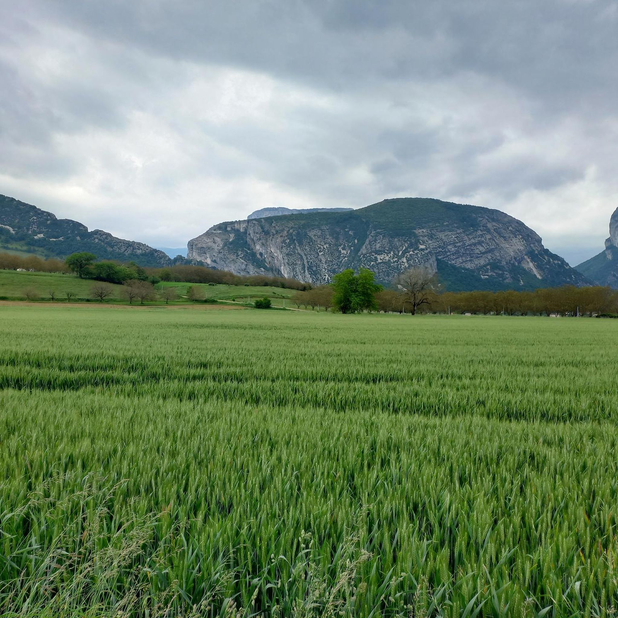
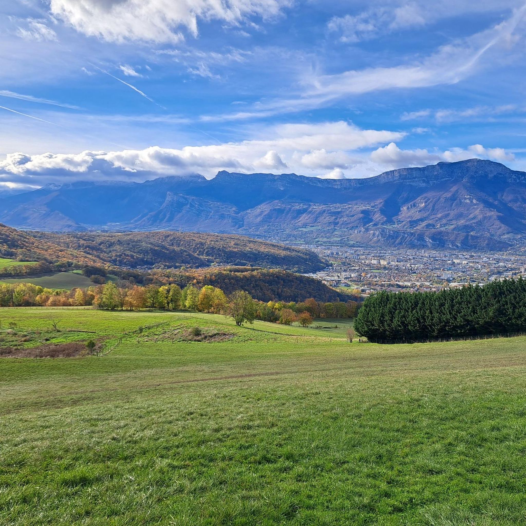
Tips from the Community

A bit of gas and a beautiful view of the city
0
0

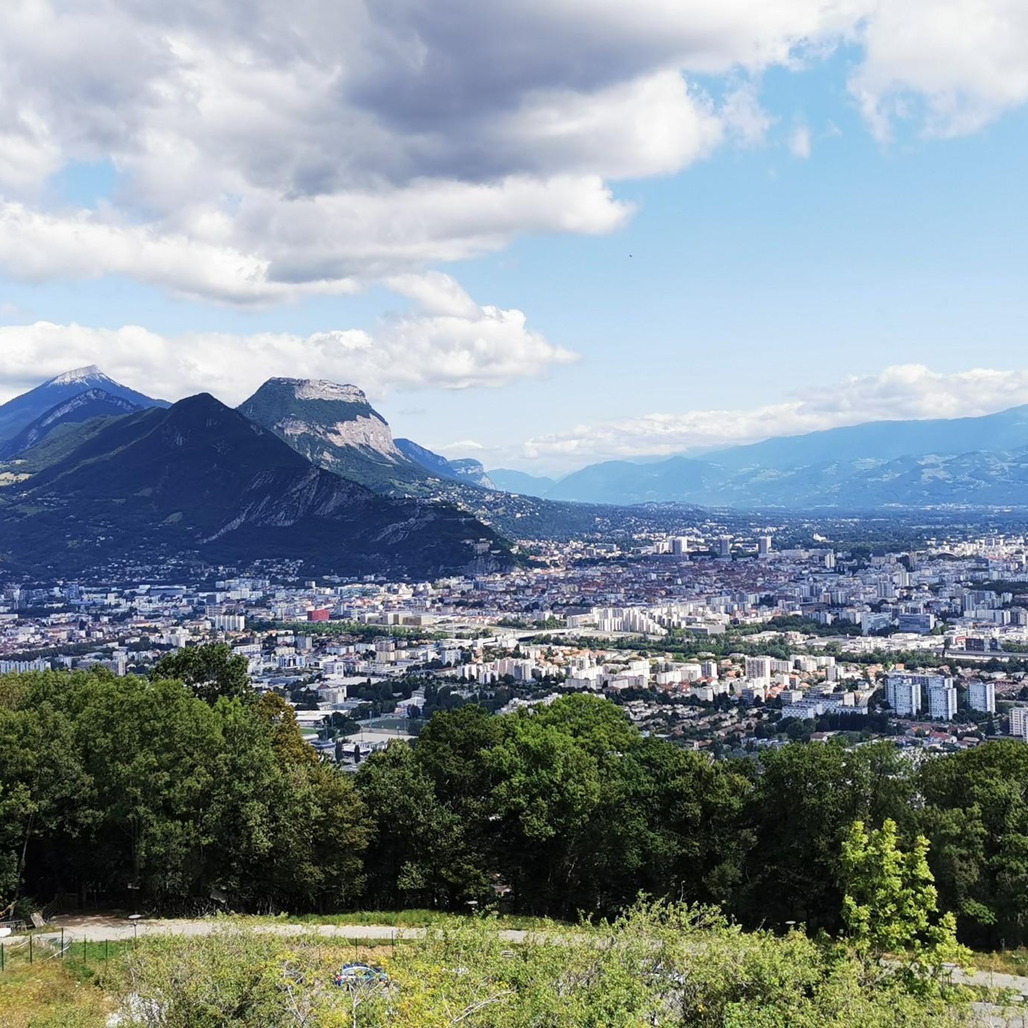
This spot offers a wider view of the Chartreuse mountains. Although still accessible, the trails begin to resemble those found in the Chartreuse mountains once you pass the Bastille.
0
0
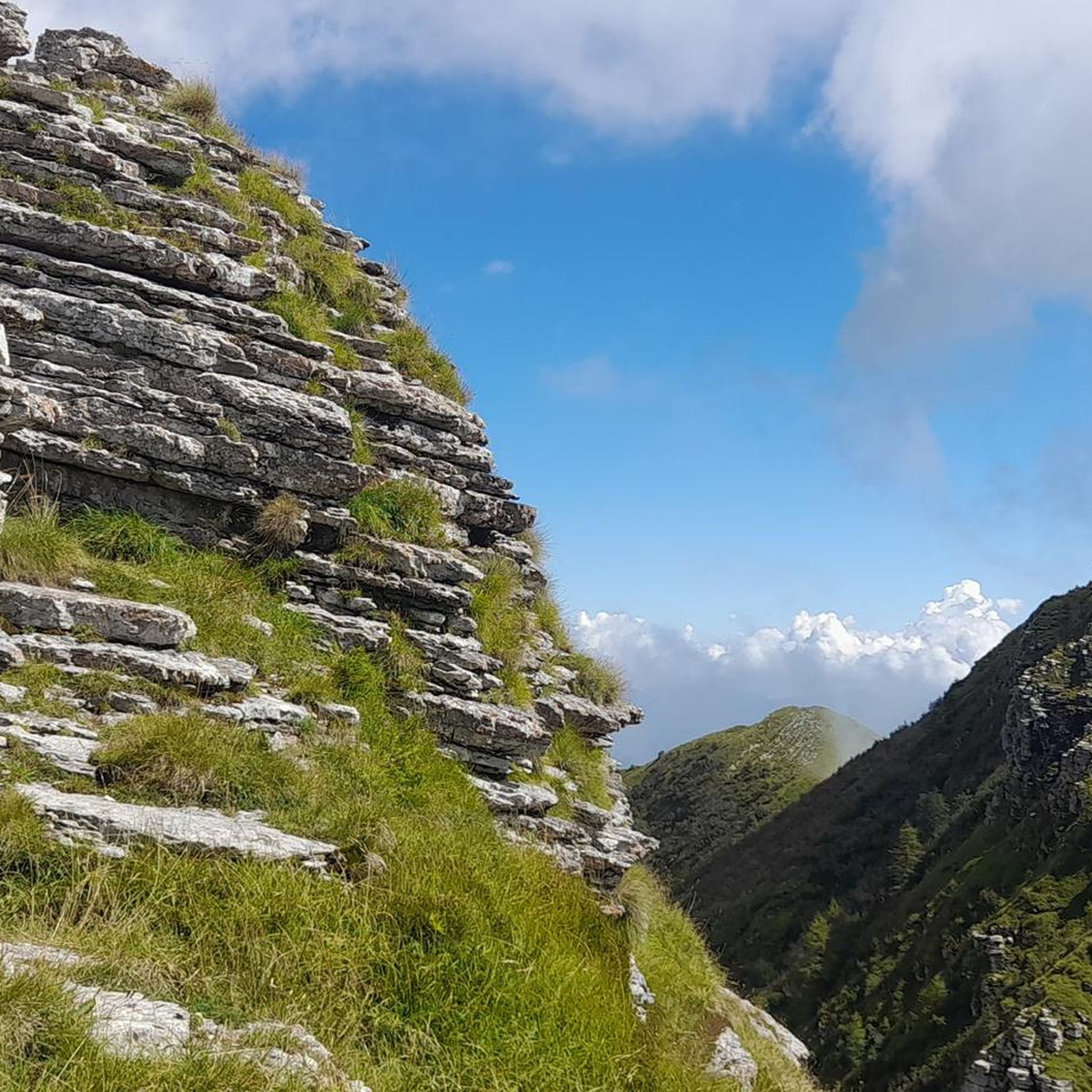
The appeal of climbing Rachais lies in these ridges. They offer views of the Chartreuse mountains and invite you to venture further into the massif.
0
0

Beautiful view of the city, both day and night. Drinking water available.
1
0


Frequently Asked Questions
What level of difficulty can I expect from mountaineering routes around Eybens?
Mountaineering routes around Eybens are generally challenging. All routes listed in this guide are rated as difficult, featuring significant elevation gains and alpine sections. For example, the Le Néron loop from Saint-Martin-le-Vinoux involves over 1,000 meters of elevation gain, requiring good fitness and sure-footedness.
Are there any beginner-friendly mountaineering routes near Eybens?
The mountaineering routes highlighted in this guide are all classified as difficult, indicating they are more suited for experienced mountaineers. The region's terrain, with its steep climbs and alpine sections, generally presents a significant challenge. For those new to mountaineering, it's advisable to seek guided tours or explore less demanding hiking trails in the area first.
What are the typical distances and durations for mountaineering routes around Eybens?
The routes vary in length and time. For instance, the Saint-Nizier-du-Moucherotte loop is about 8.9 km and takes around 4 hours to complete. Longer routes like the Lake Pourettes loop from Les Seiglières stretch over 14 km and can take approximately 6.5 hours, both involving substantial elevation changes.
Are there circular mountaineering routes available near Eybens?
Yes, many of the mountaineering routes around Eybens are circular. Examples include the Mon Jalla loop from Grenoble, which offers views of the city, and the Moucherotte Shelter loop from Saint-Nizier-du-Moucherotte, both designed as loops for convenient exploration.
What kind of natural attractions can I see along the mountaineering routes?
The routes offer access to stunning natural features. You can reach the Moucherotte Summit for panoramic views, or explore the unique Grottes de Mandrin. The region is also home to dramatic landscapes like the Coup de Sabre Gorge and distinctive rock formations such as The Three Maidens.
What are some notable mountain passes accessible from Eybens?
Eybens provides access to several significant mountain passes. You can explore the Four Lords Pass, known for its scenic routes, or ascend to the Clémencières Pass. Other passes like Vence Pass and Col de Chamrousse also offer rewarding mountaineering experiences.
What is the best time of year for mountaineering around Eybens?
The best time for mountaineering largely depends on the specific route and your experience. While summer and autumn offer generally stable conditions for high-altitude routes, the Belledonne massif, in particular, can have a 'Himalayan appearance' in winter, providing opportunities for snow sports and winter mountaineering. Always check local weather and snow conditions before heading out.
Are there opportunities for rock climbing or via ferrata near Eybens?
Yes, the region around Eybens and Grenoble is well-known for rock climbing and via ferrata. There are numerous climbing sites, from urban crags to multi-pitch routes in the higher mountains, catering to various skill levels. The Isère department also features impressive via ferratas, such as the Via Ferrata du Barrage du Sautet, offering a mix of hiking and climbing with fixed cables and ladders.
What do other mountaineers say about the routes around Eybens?
The mountaineering routes around Eybens are highly regarded by the komoot community, holding an average rating of 5.0 stars from over 9 reviews. Mountaineers frequently praise the challenging alpine environments, the diverse terrain of the Belledonne, Vercors, and Chartreuse massifs, and the stunning panoramic views from peaks like Charande and Pic Saint-Michel.
Is public transport available to reach mountaineering trailheads from Eybens?
Eybens is well-situated near Grenoble, which serves as a hub for public transport. While specific bus routes to every trailhead may vary, many starting points for routes, such as those near Saint-Nizier-du-Moucherotte or Saint-Martin-le-Vinoux, are generally accessible via local transport networks from the Grenoble area. It's recommended to check local bus schedules for the most up-to-date information.
Are there any specific viewpoints or scenic spots to look out for?
Absolutely. The region is rich in scenic viewpoints. From Charande, you can enjoy breathtaking views of the Molière alpine pasture. Pic Saint-Michel offers superb panoramas, and the Belledonne massif is particularly stunning at sunset, often bathed in beautiful pink or orange light. The Croix de Pinet is another notable viewpoint.
What kind of wildlife might I encounter on the trails?
While specific wildlife sightings are never guaranteed, the diverse mountain ranges surrounding Eybens, including Belledonne, Vercors, and Chartreuse, are home to various alpine flora and fauna. Hikers might spot chamois, marmots, or various bird species in higher altitudes, and deer or wild boar in forested areas. Always observe wildlife from a distance and respect their natural habitat.
Most popular attractions around Eybens

Get inspired with the komoot mobile app


Explore more
Browse the best Mountain Hikes & Routes in other regions.
