The best walks and hikes around Les Fourgs
4.6
(876)
7,292
hikers
24
hikes
Hiking around Les Fourgs, a village situated at 1100 meters in the Haut-Doubs region of the Jura massif, provides access to diverse natural settings. The terrain features gentle mountain slopes, expansive prairies, and deep fir forests, typical of the Jura landscape. This high-altitude location offers panoramic views across the region. The area's varied landscapes cater to different hiking preferences.
Best hiking trails around Les Fourgs
- The most popular hiking route is Les Fourgs loop from Les Fourgs, a 5.4…
Last updated: July 9, 2026
4.0
(7)
51
hikers
8.76km
02:23
130m
130m
Moderate hike. Good fitness required. Easily-accessible paths. Suitable for all skill levels.
5.0
(1)
21
hikers
12.4km
03:31
280m
280m
Moderate hike. Good fitness required. Easily-accessible paths. Suitable for all skill levels.

Sign up for free
4.4
(5)
17
hikers
10.3km
02:59
260m
260m
Moderate hike. Good fitness required. Easily-accessible paths. Suitable for all skill levels.
4.0
(3)
14
hikers
8.21km
02:14
120m
120m
Moderate hike. Good fitness required. Easily-accessible paths. Suitable for all skill levels.
4.0
(2)
12
hikers
8.27km
02:15
120m
120m
Moderate hike. Good fitness required. Easily-accessible paths. Suitable for all skill levels.
Get access to more routes and recommendations from other explorers.
Sign up for free
Already have an account?
Our route recommendations are based on thousands of hikes, rides, and runs completed by other people on komoot.
Start today with a free account
Your next adventure awaits.
Login or Signup

Tips from the Community

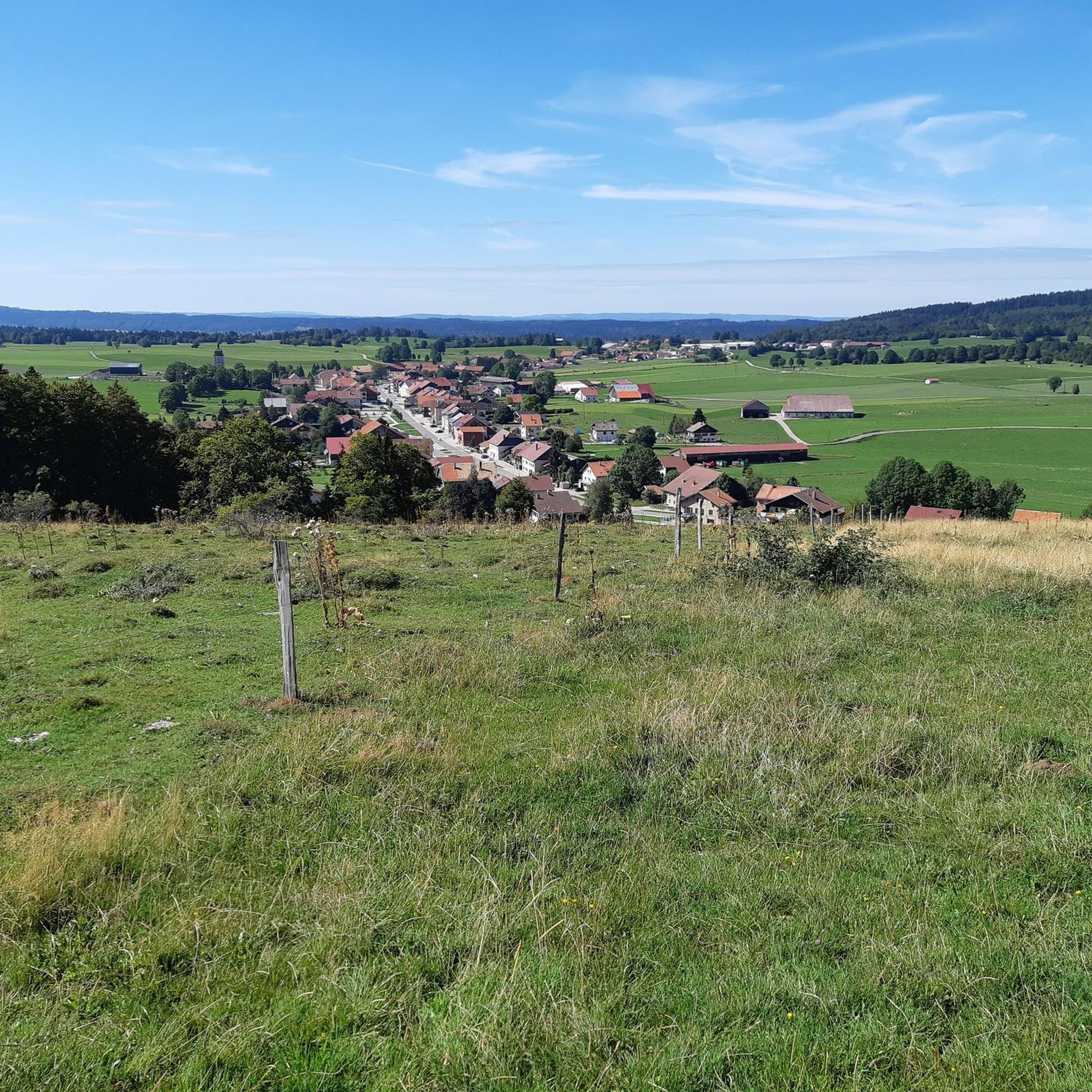
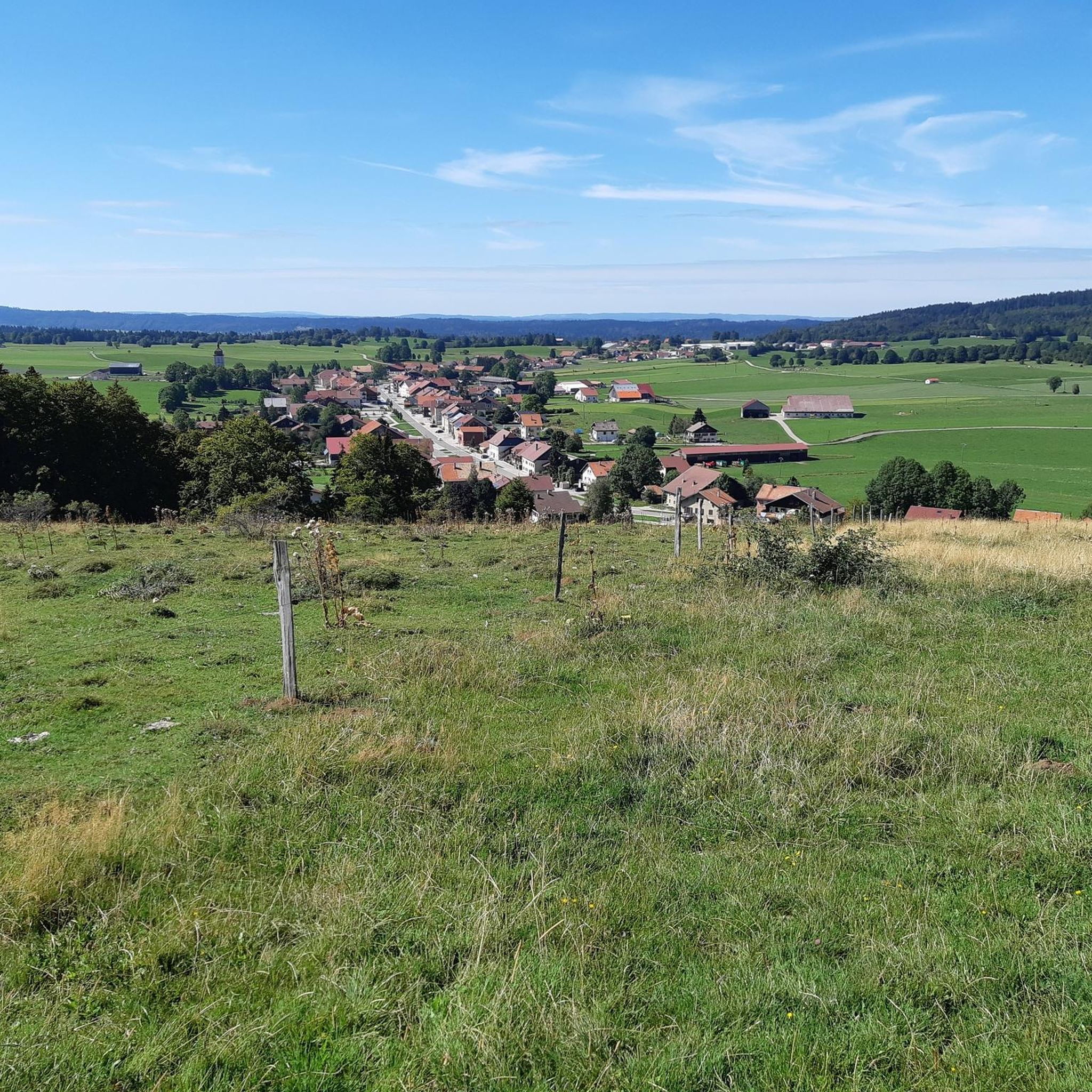
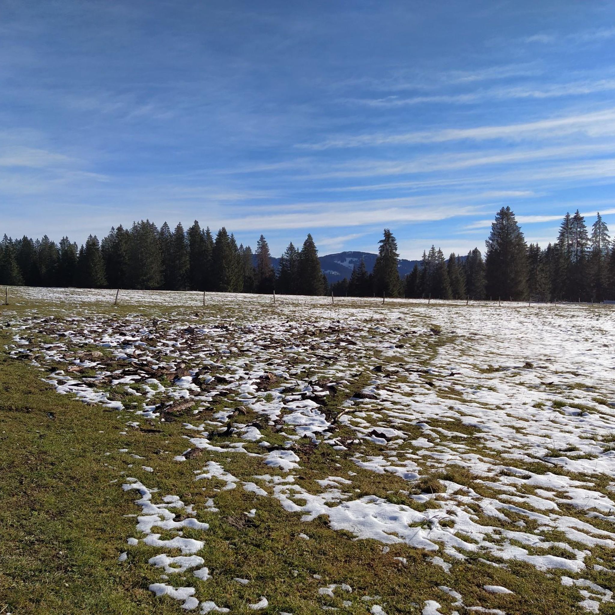
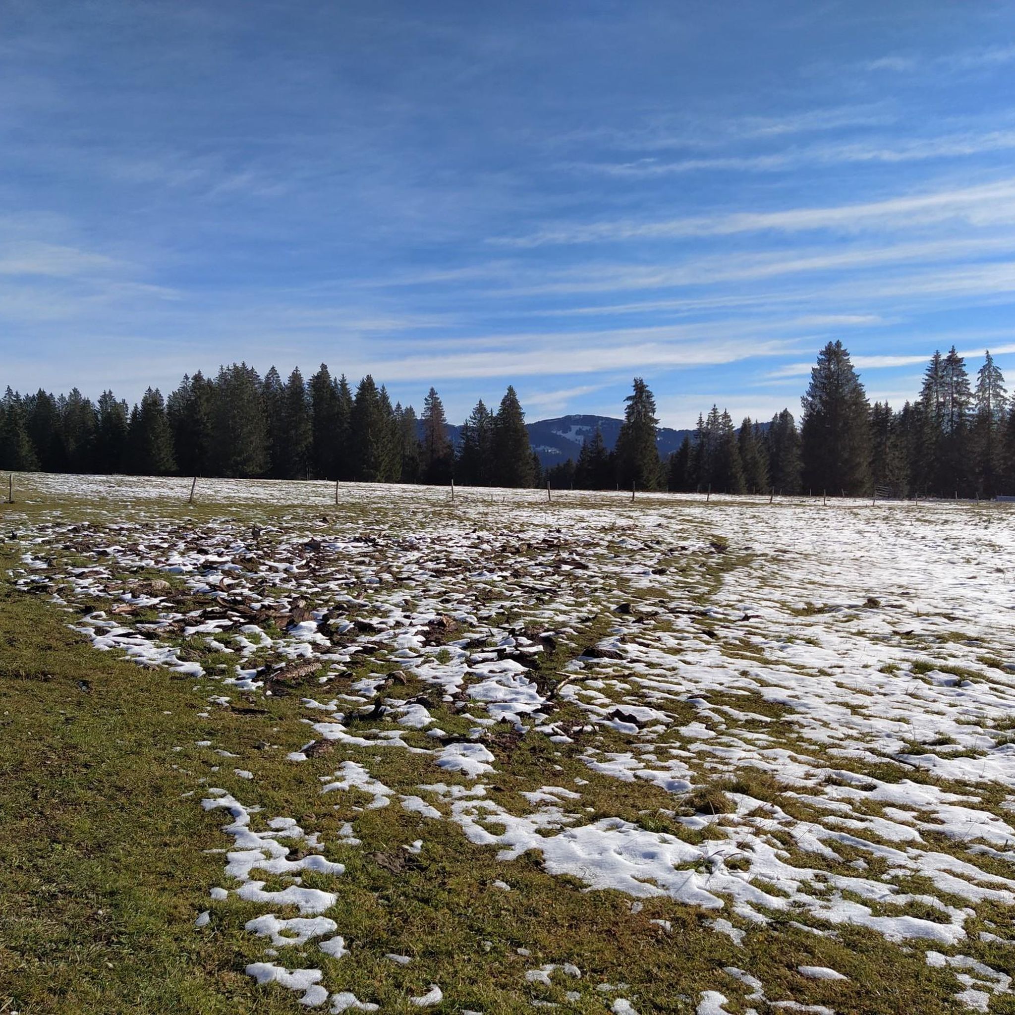
Les Fourgs is a small, elongated town oriented around the D6 departmental road. The village has all amenities. In winter, a mid-mountain station is open for Nordic skiing, downhill skiing and cross-country skiing.
0
0
At 1,176 meters above sea level, the Sarrazine Rock belvedere offers a wide panorama of the Arlier plateau, the Château de Joux, Larmont, the Grand Taureau and Fort Malher. On site, an orientation table allows you to read the landscape. A picnic area with a shelter has been set up there.
1
0
Frequently Asked Questions
How many hiking trails are available around Les Fourgs?
There are over 20 hiking trails available around Les Fourgs, catering to various skill levels. You'll find options ranging from easy walks to more challenging routes through the diverse Jura landscape.
What kind of terrain can I expect on hikes around Les Fourgs?
Hikes around Les Fourgs feature a varied terrain typical of the Jura massif. You can expect gentle mountain slopes, vast prairies, and deep fir forests. The high altitude of the village often provides panoramic views across the region.
Are there easy hiking trails suitable for beginners in Les Fourgs?
Yes, Les Fourgs offers several easy hiking trails perfect for beginners or those looking for a relaxed walk. Out of the available routes, 6 are classified as easy, providing accessible options to enjoy the scenery without significant elevation gain.
What natural landmarks or viewpoints can I discover while hiking in Les Fourgs?
The region around Les Fourgs is rich in natural landmarks and stunning viewpoints. You can hike to the Mont d'Or for superb views of the Alps, or visit the Chasseron Summit for wonderful vistas high above Lake Neuchâtel. The Belvédère de la Roche Sarrazine also offers expansive views over the Arlier plateau and the Château de Joux. Additionally, the beautiful glacial Lac de Saint-Point is nearby.
Are there any circular hiking routes in Les Fourgs?
Yes, many of the trails around Les Fourgs are designed as circular routes, allowing you to start and end in the same location. An example is the Les Fourgs loop from Les Fourgs, which explores the immediate surroundings of the village.
Can I bring my dog on the hiking trails in Les Fourgs?
Les Fourgs is generally dog-friendly, and many trails are suitable for hiking with your canine companion. However, it's always recommended to keep your dog on a leash, especially in areas with livestock or protected wildlife, and to check local regulations for specific trails.
Are there family-friendly hiking options in Les Fourgs?
Absolutely. The varied network of trails includes options suitable for families. Many routes feature gentle slopes and manageable distances, making them enjoyable for all ages. Look for trails with minimal elevation gain and shorter durations for a pleasant family outing.
What is the best time of year to go hiking in Les Fourgs?
The best time for hiking in Les Fourgs is typically from late spring to early autumn (May to October). During these months, the weather is generally mild, and the trails are clear of snow, offering pleasant conditions to enjoy the alpage meadows and dense fir forests. Summer provides lush landscapes, while autumn brings vibrant colors.
Is public transport available to reach hiking trailheads in Les Fourgs?
While Les Fourgs is a village, public transport options to specific trailheads might be limited. It's advisable to check local bus schedules or consider driving to access the starting points of various hikes. Many routes are accessible directly from the village or nearby parking areas.
Where can I find parking for hiking trails in Les Fourgs?
Parking is generally available in and around the village of Les Fourgs, often near the starting points of popular trails. Specific trailheads may have designated parking areas. It's recommended to look for signs or check route descriptions for detailed parking information before you set out.
What do other hikers say about the trails in Les Fourgs?
The hiking trails in Les Fourgs are highly regarded by the komoot community, with an average rating of 4.6 stars from over 800 reviews. Hikers often praise the diverse landscapes, the panoramic views, and the well-maintained paths that wind through forests and open prairies.
Are there any trails that explore the Franco-Swiss border history?
Yes, the region offers unique thematic trails. The Sentier des Bornes is a notable trail that explores the history of the Franco-Swiss border, featuring 11 interpretive tables along the way. This provides an interesting historical dimension to your hike.
Can I find trails that offer views of the Alps from Les Fourgs?
Absolutely. Being the highest village in the Doubs department, Les Fourgs offers exceptional panoramic views. From locations like Mont Châteleu and especially the Mont d'Or, hikers can enjoy breathtaking vistas of the Alps, including Mont Blanc on a clear day, along with the Jura ridges and surrounding valleys.
Most popular routes around Les Fourgs
Most popular attractions around Les Fourgs

Get inspired with the komoot mobile app


Explore more
Browse the best Hikes in other regions.
