The best walks and hikes around Saint-Macaire
4.6
(78)
400
hikers
63
hikes
Hiking around Saint-Macaire offers routes through historical landscapes along the Garonne River. The terrain is generally gentle, characterized by low elevation changes and a mix of open countryside and paths near historical structures. Many trails explore the town's ancient ramparts and churches, providing a blend of natural and cultural exploration. The region's network of paths is suitable for various hiking experiences.
Best hiking trails around Saint-Macaire
- The most popular hiking route is Saint-Sauveur Church – Saint-Macaire and Its Ramparts loop…
Last updated: July 8, 2026
4.6
(5)
14
hikers
18.4km
04:55
220m
220m
Moderate hike. Good fitness required. Easily-accessible paths. Suitable for all skill levels.
5.0
(1)
11
hikers
Moderate hike. Good fitness required. Easily-accessible paths. Suitable for all skill levels.

Sign up for free
4.3
(3)
11
hikers
3.11km
00:49
30m
20m
Easy hike. Great for any fitness level. Easily-accessible paths. Suitable for all skill levels.
4.0
(2)
10
hikers
5.31km
01:23
40m
40m
Easy hike. Great for any fitness level. Easily-accessible paths. Suitable for all skill levels.
5.0
(4)
11
hikers
8.99km
02:18
30m
30m
Moderate hike. Good fitness required. Easily-accessible paths. Suitable for all skill levels.
Get access to more routes and recommendations from other explorers.
Sign up for free
Already have an account?
Our route recommendations are based on thousands of hikes, rides, and runs completed by other people on komoot.
Start today with a free account
Your next adventure awaits.
Login or Signup


Tips from the Community

From the Calvary, very beautiful view of the Garonne valley
0
0

Apartments on the outskirts of the village, very original and in keeping with the village
2
0
New nature reserve on the outskirts, wonderful place to relax and unwind 😊
0
1
Ionic and Doric column arches beautifully overgrown with foliage
2
0
Nice little townhouse to stay in, nicely decorated and lovely owner
2
0
The path or square on the Garonne invites you to relax, you can also sit on the grass under the trees; just lovely
2
0
Unfortunately, the former cloister no longer exists, only the building "Le Prieuré"
2
0
Main entrance gate to the medieval town; however, it is advisable to park outside the city walls
1
1
Frequently Asked Questions
How many hiking trails are there in Saint-Macaire?
There are over 60 hiking routes available around Saint-Macaire, offering a variety of experiences from easy strolls to more moderate excursions. The region's trails are well-suited for exploring its historical landscapes and the Garonne River.
Are there easy hiking trails suitable for beginners in Saint-Macaire?
Yes, Saint-Macaire offers 20 easy hiking routes perfect for beginners or those seeking a relaxed walk. A great option is the Le Prieuré – Saint-Sauveur Church loop from Langon, a 1.9-mile (3.1 km) trail that takes about 50 minutes to complete, leading through historical sites and local landscapes.
Are there family-friendly hiking options in Saint-Macaire?
Many of the trails in Saint-Macaire are suitable for families, thanks to the generally gentle terrain and low elevation changes. Shorter, easy routes like the View of Saint-Macaire – Le Prieuré loop from Saint-Macaire (3.3 miles / 5.3 km) offer a pleasant experience for all ages, combining historical views with natural surroundings.
Are dogs allowed on the hiking trails around Saint-Macaire?
Generally, dogs are welcome on most hiking trails in the Saint-Macaire area. It's always recommended to keep your dog on a leash, especially when passing through agricultural areas or near wildlife, and to clean up after them. Always check local signage for any specific restrictions.
What is the best time of year to go hiking in Saint-Macaire?
The best time for hiking in Saint-Macaire is typically during spring (April to June) and autumn (September to October). During these months, the weather is mild and pleasant, making for comfortable walking conditions. Summers can be quite warm, while winters are generally mild but can be wet.
Are there circular walks available in Saint-Macaire?
Yes, Saint-Macaire is well-suited for circular walks, allowing you to start and end your hike in the same location. A popular moderate option is the Saint-Macaire and Its Ramparts – Porte de la Benauge loop from Saint-Macaire, a 5.0-mile (8.1 km) path offering views of the town's defensive structures and surrounding countryside.
What can I see along the hiking trails around Saint-Macaire?
Hiking trails around Saint-Macaire often feature historical architecture, views of the Garonne River, and gentle countryside. You can explore ancient ramparts and churches within the town itself. Further afield, points of interest include the Garonne Lateral Canal and historical sites like Sainte-Croix-du-Mont.
Is parking available near the hiking trails in Saint-Macaire?
Parking is generally available in and around the historic town center of Saint-Macaire, which serves as a common starting point for many trails. Look for designated parking areas within the town or near specific trailheads. Availability may vary, especially during peak times.
Can I reach hiking trailheads in Saint-Macaire using public transport?
While public transport options to Saint-Macaire itself are available, reaching specific trailheads outside the immediate town center might require some planning. It's advisable to check local bus schedules or consider starting your hike directly from the town, where many routes begin.
What do other hikers enjoy the most about hiking in Saint-Macaire?
The area is highly rated by the komoot community, with an average score of 4.6 stars from more than 70 reviews. Reviewers often praise the blend of historical architecture, the tranquil river views, and the gentle, accessible nature of the trails, making it suitable for various ability levels.
Are there any viewpoints along the hiking trails in Saint-Macaire?
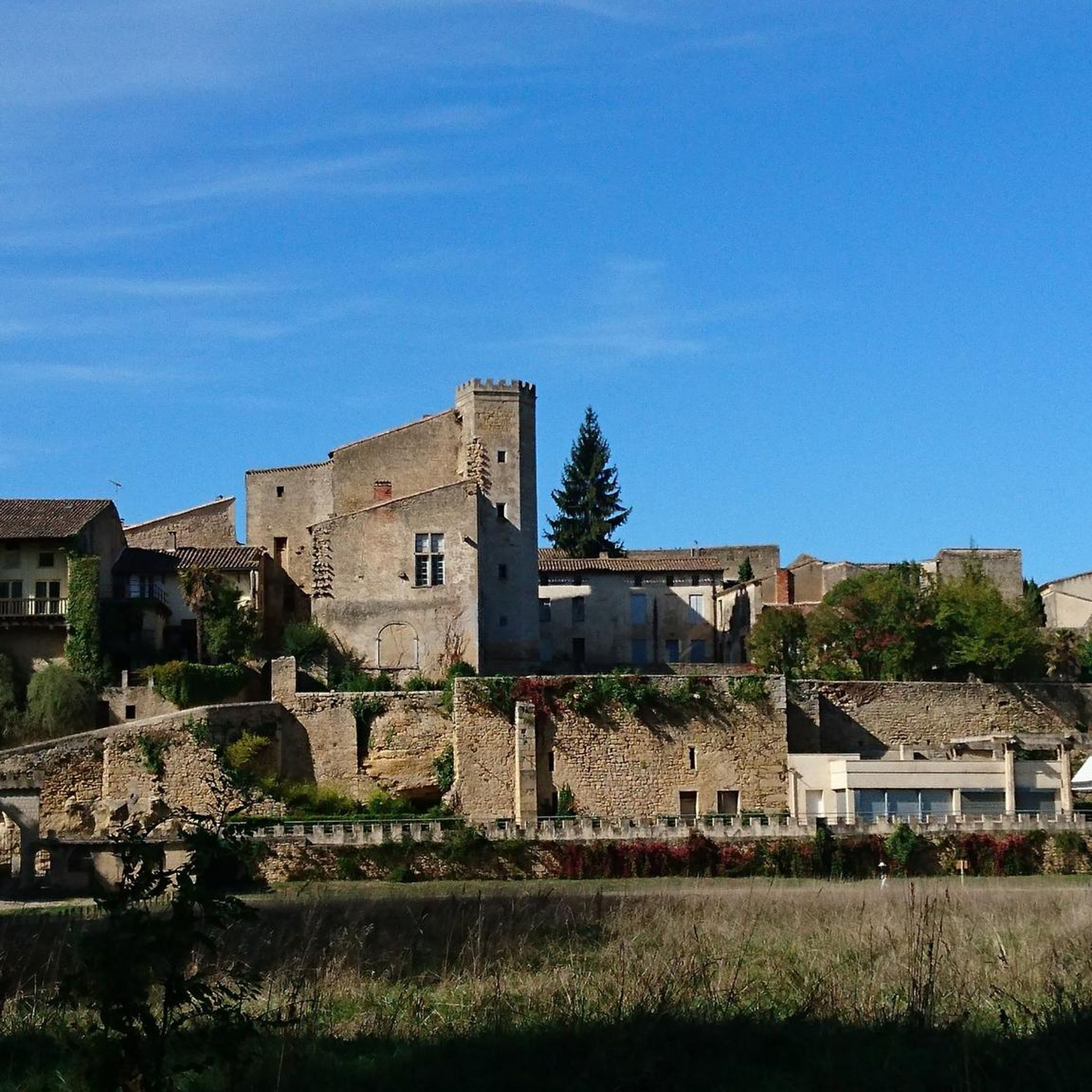
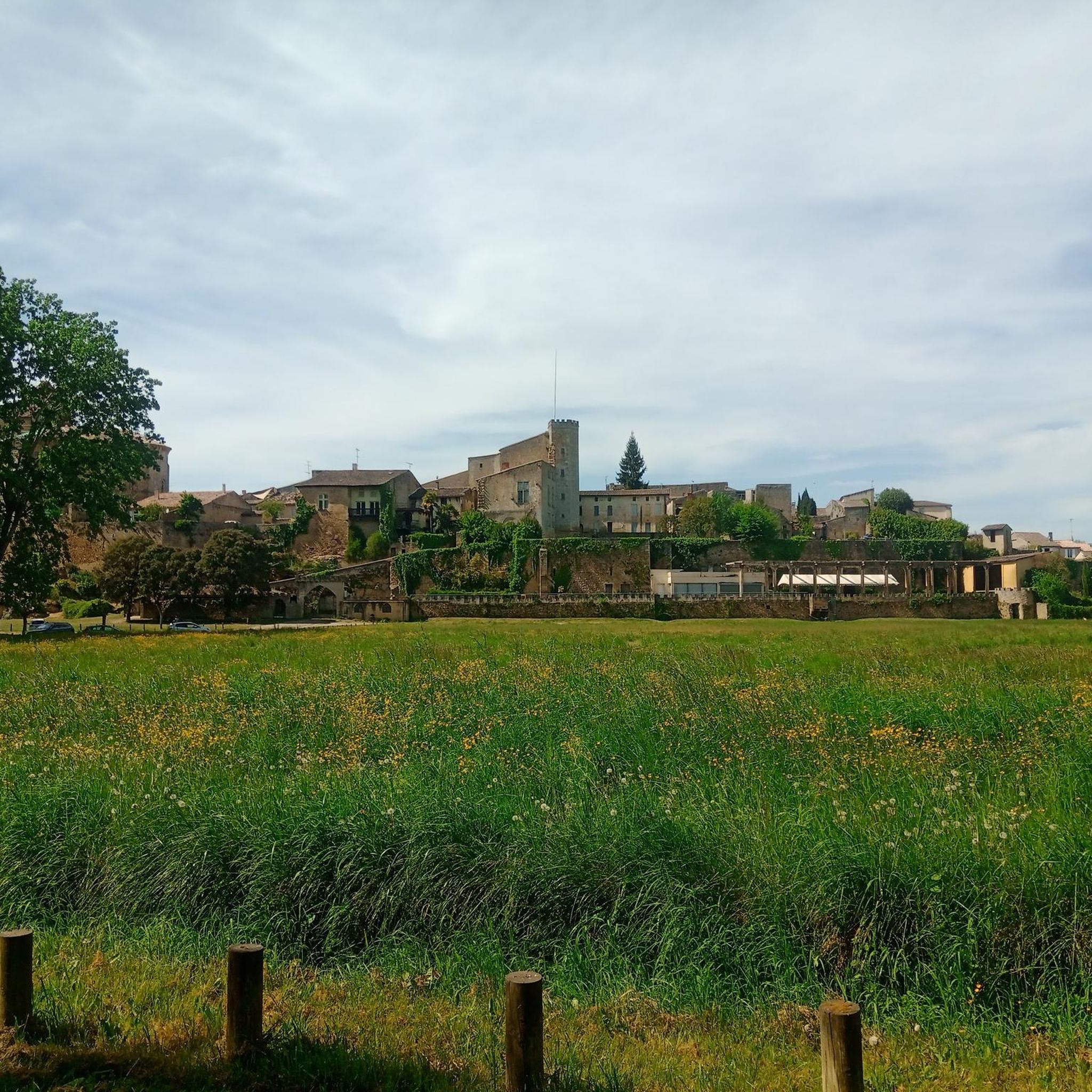
Many trails offer scenic viewpoints, particularly those that follow the Garonne River or ascend slightly above the town. The View of Saint-Macaire – Le Prieuré loop from Saint-Macaire, for instance, provides picturesque vistas of the town and its surroundings.
Most popular attractions around Saint-Macaire

Get inspired with the komoot mobile app


Explore more
Browse the best Hikes in other regions.
