The best road cycling routes around Grandfontaine
4.5
(153)
2,865
riders
85
rides
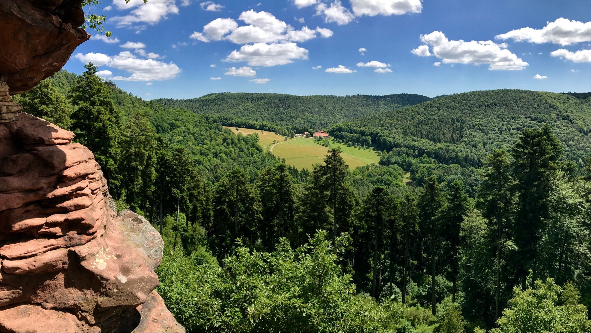
Road cycling around Grandfontaine is characterized by its varied terrain, featuring numerous mountain passes and dense forests within the Vosges mountains. The region offers a network of routes that navigate through valleys and ascend to elevated points, providing a consistent challenge for road cyclists. The landscape includes significant elevation changes, with many routes incorporating climbs over 500 meters.
Best road cycling routes around Grandfontaine
- The most popular road cycling route is Col de Grendelbruch — loop from Schirmeck, a…
Last updated: October 8, 2026
4.7
(3)
40
riders
53.8km
02:52
1,010m
1,010m
This difficult 33.4-mile road cycling loop from Schirmeck offers panoramic views and dense forests, climbing 3298 feet to Champ du Feu.
4.8
(10)
195
riders
61.0km
03:06
1,020m
1,020m
Hard road ride. Very good fitness required. Mostly well-paved surfaces and easy to ride.

4.8
(8)
186
riders
64.4km
02:56
610m
610m
Moderate road ride. Good fitness required. Mostly well-paved surfaces and easy to ride.
4.6
(5)
127
riders
76.9km
04:03
1,250m
1,250m
Hard road ride. Very good fitness required. Mostly well-paved surfaces and easy to ride.
5.0
(3)
87
riders
52.2km
02:55
1,010m
1,010m
Hard road ride. Very good fitness required. Mostly well-paved surfaces and easy to ride.
Get access to more routes and recommendations from other explorers.
Already have an account?
Our route recommendations are based on thousands of hikes, rides, and runs completed by other people on komoot.
Start today with a free account
Your next adventure awaits.
Other adventures around Grandfontaine

Tips from the Community

beautiful descent following the D44 > 20 km downhill.
0
0

Parallel to the railway line, car-free.
0
0
When coming from Schirmeck, it is recommended to turn off in Grandfontaine and take the local road that runs parallel to the D392, which is less busy.
0
0

Very good place to stop for refreshments!
0
0

The visit of the little train is worth the detour!
0
0

Beautiful route, pleasant but lots of bikers...
0
0

Beautiful hiking destination, there is also a cycling route
0
0

The kitchen had already closed at 3 p.m. on Sunday afternoon, so there were no hot or cold food left. Only cake and ice cream, but that was good. 💲💲Cash only. 💲💲
0
0
Frequently Asked Questions
How many road cycling routes are available around Grandfontaine?
There are over 80 road cycling routes available around Grandfontaine, offering a diverse range of experiences. This includes 7 easy routes, 39 moderate routes, and 35 difficult routes, ensuring options for various skill levels.
What is the general difficulty level of road cycling routes in Grandfontaine?
Road cycling around Grandfontaine is characterized by its challenging terrain within the Vosges mountains. Many routes feature significant elevation changes and mountain passes, with a substantial number categorized as moderate (39 routes) or difficult (35 routes). Even easy routes will often include some climbs.
Are there any long-distance road cycling routes in the Grandfontaine area?
Yes, Grandfontaine offers several longer road cycling routes. For instance, the Urbeis Pass – Col de Steige loop from Rothau is a challenging 76.9 km (47.8 miles) route with over 1,200 meters of elevation gain. Another option is the Saint-Quirin Church – Col du Donon loop from Grandfontaine, which covers 63 km (39.1 miles).
What kind of scenery can I expect on road cycling routes around Grandfontaine?
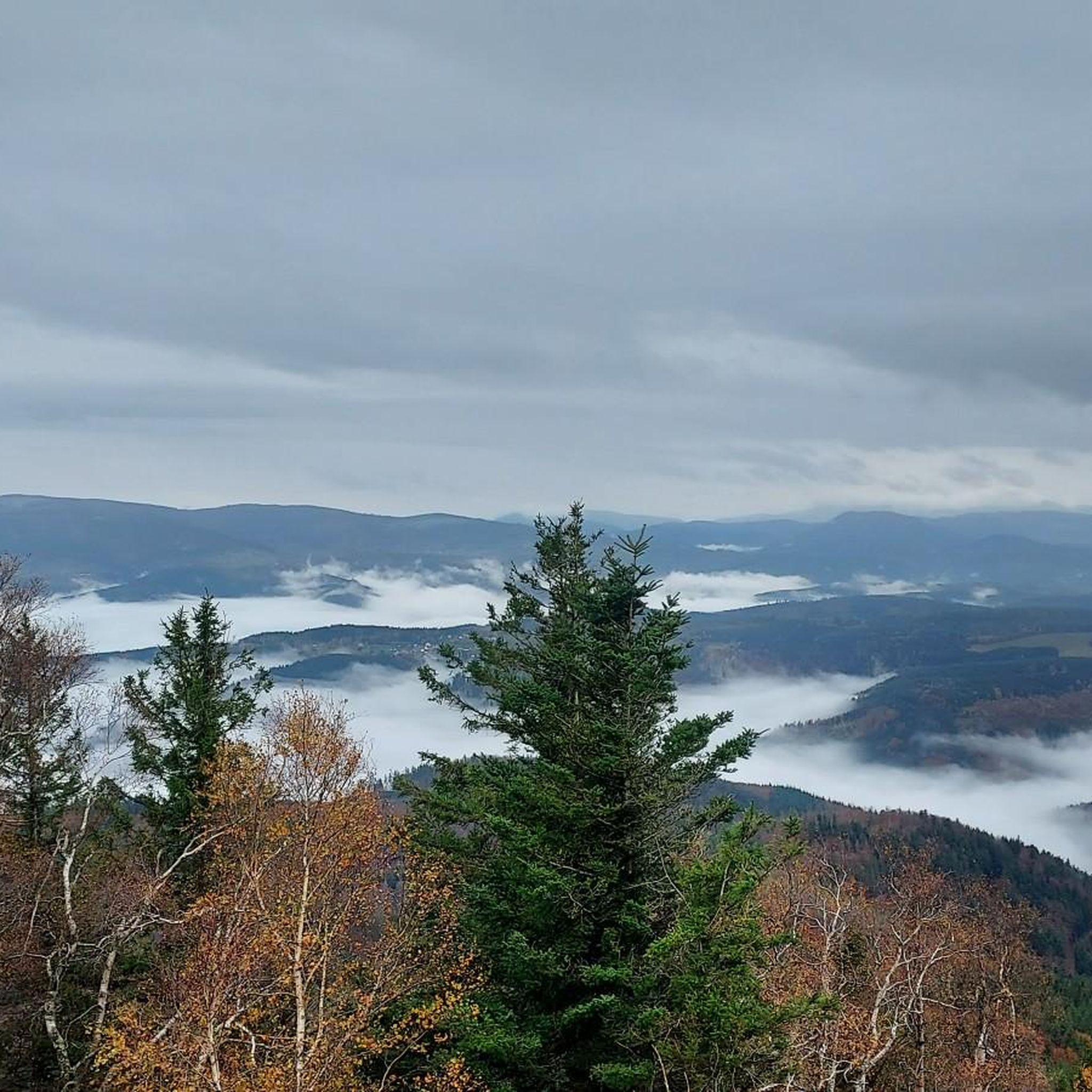
The region is known for its varied terrain, featuring dense forests, scenic valleys, and challenging mountain passes within the Vosges mountains. You'll often find routes navigating through picturesque landscapes with consistent elevation changes, offering panoramic views from higher points.
Are there any circular road cycling routes available?
Yes, many of the road cycling routes around Grandfontaine are designed as loops. Examples include the popular Col de Grendelbruch — loop from Schirmeck, a 53.8 km (33.4 miles) difficult route, and the Porte de Boersch – Col de Grendelbruch loop from Rothau, a 64.5 km (40.1 miles) moderate trail.
What are some notable landmarks or attractions I might see along the road cycling routes?
While cycling, you might encounter several interesting points. The Donon Temple is a significant historical site. Natural features like the Stone Gate and summits such as Le Petit Donon offer scenic stops. You could also pass by historical structures like Salm Castle.
What do other road cyclists enjoy the most about road cycling in Grandfontaine?
The road cycling routes in Grandfontaine are highly rated by the komoot community, with an average score of 4.7 stars from over 90 reviews. Cyclists frequently praise the challenging mountain passes, extensive forest roads, and scenic valley descents that define the region's varied terrain.
Are there any routes that offer significant climbs or mountain pass experiences?
Absolutely. Grandfontaine is situated in the Vosges mountains, so significant climbs and mountain passes are a defining feature. Routes like the Col de Grendelbruch — loop from Schirmeck and the Hantz Pass – Prayé Forest Road loop from Rothau both feature over 1,000 meters of elevation gain, providing a true mountain cycling experience.
What is the best time of year for road cycling in Grandfontaine?
The summer months generally offer the most favorable conditions for road cycling in Grandfontaine, with warmer temperatures and longer daylight hours. However, due to the mountainous terrain, it's always advisable to check local weather forecasts, especially for higher elevations, as conditions can change rapidly.
Are there any routes that pass through or near charming villages or towns?
While the routes primarily focus on the natural landscape and mountain passes, many will pass through or near smaller villages and towns in the valleys. These can offer opportunities for a break, a coffee, or to experience local culture. The region's routes are designed to connect various points of interest within the Vosges foothills.
Where can I find parking for road cycling routes in Grandfontaine?
Parking availability often depends on the specific starting point of your chosen route. Many routes begin from towns or villages like Schirmeck, Grandfontaine, or Rothau, where public parking options are typically available. It's recommended to check the route details on komoot for specific parking suggestions near the trailhead.
Most popular routes around Grandfontaine
Most popular attractions around Grandfontaine

Get inspired with the komoot mobile app


Explore more
Browse the best Road cycling routes in other regions.
