The best walks and hikes around Geisenberg
4.5
(637)
4,749
hikers
283
hikes
Hiking around Geisenberg offers a network of trails through varied terrain. The region is characterized by rural landscapes, including woodlands, agricultural fields, and small water features like ponds and streams. Elevations are generally moderate, making the area accessible for a range of hiking abilities.
Best hiking trails around Geisenberg
- The most popular hiking route is Bridge over the Autruche – Stone Water Source loop from Bessoncourt, a 7.7 miles (12.3 km) trail that takes 3 hours 15 minutes to…
Last updated: July 5, 2026
4.6
(7)
23
hikers
12.2km
03:13
100m
100m
Moderate hike. Good fitness required. Easily-accessible paths. Suitable for all skill levels.
5.0
(2)
16
hikers
8.49km
02:13
60m
60m
Moderate hike. Good fitness required. Easily-accessible paths. Suitable for all skill levels.

Sign up for free
4.5
(2)
6
hikers
8.12km
02:06
50m
50m
Moderate hike. Good fitness required. Easily-accessible paths. Suitable for all skill levels.
4.5
(2)
6
hikers
5.06km
01:19
30m
30m
Easy hike. Great for any fitness level. Easily-accessible paths. Suitable for all skill levels.
5
hikers
3.45km
00:53
20m
20m
Easy hike. Great for any fitness level. Easily-accessible paths. Suitable for all skill levels.
Get access to more routes and recommendations from other explorers.
Sign up for free
Already have an account?
Our route recommendations are based on thousands of hikes, rides, and runs completed by other people on komoot.
Start today with a free account
Your next adventure awaits.
Login or Signup



Tips from the Community

Named after General Sénarmont, Fort Bessoncourt was built between 1883 and 1886 to close the roads to Colmar and Basel and the railway to Mulhouse, and to support the forts of Roppe and Vézelois. It is a large pentagonal limestone structure, built for approximately 650 men and 30 artillery pieces. It is typical of forts dating from the 1880s, in which the long-range artillery and close defense were grouped on the rampart bordering the ditch, while the infantry was positioned above the caponiers of the escarpment and on the roof of the central barracks. Opening hours: Visit at 3 p.m. on Sundays from May to September
2
1

France presenting Victory" Sculpture by Louis Maubert (1875-1949), born in Paris.
0
0
Named after General Senarmont, Fort Bessoncourt was erected between 1883 and 1886 to block the roads to Colmar and Basel and the Mulhouse railway line, and to cover the forts of Roppe and Vézelois. It is a large limestone masonry fort, pentagonal in plan, designed for about 650 men and about 30 artillery pieces. It is representative of the forts of the 1880s, in which the artillery for distant action and that for close defense were assembled on the rampart bordering the ditch, while the infantry took up position above the caponiers and on the roof of the central barracks. But shortly after its construction, it is already outdated and needs modernization. It is one of the few forts in the square to have constantly kept pace with technical progress: in 1888, a concrete shell was poured over a third of its central barracks: in 1894-1895, most of its artillery being dispersed in surrounding batteries, it became an infantry support point and underwent a complete overhaul. In 1908-1909, two turrets for 75 guns and two machine gun turrets were installed. During the First World War, the fort served as a hospital, but from 1917, fortification work resumed with the digging of deeply buried rooms and galleries connecting the fort with the outside.
1
1
the date 1866 is inscribed on this Calvary
0
0

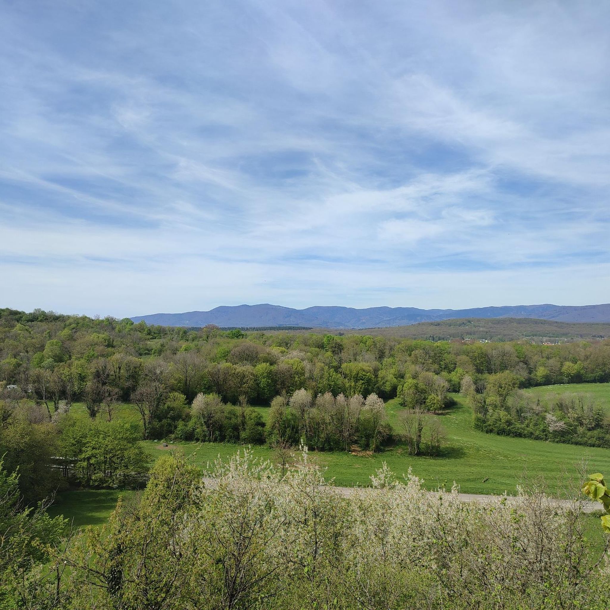
Perfect place to walk the dog! Area for mountain biking, hikers, horses.
0
0

Frequently Asked Questions
How many hiking trails are available around Geisenberg?
There are over 250 hiking routes available around Geisenberg, offering a wide range of options for different preferences and skill levels. The komoot community has explored these trails over 4,000 times.
What kind of terrain can I expect when hiking around Geisenberg?
Hiking around Geisenberg features varied terrain, including woodlands, agricultural fields, and small water features like ponds and streams. You'll find a mix of forest paths and open countryside, with generally moderate elevations, making the area accessible for a range of hiking abilities.
What do other hikers say about the trails in Geisenberg?
The routes in Geisenberg are highly rated by the komoot community, with an average score of 4.4 stars from more than 500 reviews. Hikers often praise the varied terrain, which includes quiet woodlands and pastoral scenes, offering views of local flora and fauna.
Are there any easy hiking options for beginners or casual walkers?
Yes, Geisenberg offers a good selection of easier trails. Out of the 259 available routes, 115 are classified as easy, making them suitable for beginners, families, or those looking for a more relaxed walk.
Are there circular hiking routes available in Geisenberg?
Many of the popular routes around Geisenberg are circular, offering convenient starting and ending points. For example, the Bridge over the Autruche – Stone Water Source loop from Bessoncourt is a popular moderate circular trail, as is the Other oak – Cows in the Countryside loop from Novillard.
What are the typical distances and elevations for hikes in Geisenberg?
Hikes in Geisenberg vary in length and elevation. Moderate routes, such as the Pont Arromanches – Cratsch Pond loop from Petit-Croix, are typically around 6.5 miles (10.4 km) with elevation gains of about 50-60 meters. Longer moderate trails can reach up to 7.7 miles (12.3 km) with around 100 meters of elevation gain.
Are there any interesting landmarks or historical sites to see near the hiking trails?
Yes, the area around Geisenberg is rich in historical sites. You can explore impressive fortifications like the Citadel of Belfort or the Fort de Vézelois. The View of the Belfort citadel also offers a great perspective on the region's history.
Can I find natural features like lakes or ponds along the routes?
Absolutely. The region features small water bodies that add to the scenic beauty. You can find highlights such as Véronne Pond, Étang La Belle Île, and Étang des Cratsch, which are often incorporated into hiking routes.
Are the hiking trails around Geisenberg suitable for families with children?
Given the prevalence of easy and moderate trails with generally gentle inclines and varied landscapes including woodlands and open fields, many routes around Geisenberg are suitable for families. Look for the 'easy' classified routes for the most family-friendly options.
What is the best season for hiking in Geisenberg?
While specific seasonal data isn't available, regions with varied terrain like Geisenberg typically offer pleasant hiking conditions in spring and autumn when the weather is mild and the landscapes are vibrant with new growth or autumnal colors. Summer can also be enjoyable, especially in wooded areas, while winter might offer unique, albeit colder, experiences.
Are the trails dog-friendly?
Most natural trails in rural areas like Geisenberg are generally dog-friendly, provided dogs are kept on a leash and owners clean up after them. It's always a good idea to check specific route details or local signage for any restrictions, especially around agricultural land or nature reserves.
Is there parking available near the trailheads?
While specific parking locations aren't detailed for every trailhead, most hiking areas in regions like Geisenberg typically offer designated parking spaces in villages or at popular starting points. It's advisable to check the komoot tour details for specific parking information when planning your hike.
Most popular routes around Geisenberg
Most popular attractions around Geisenberg

Get inspired with the komoot mobile app


Explore more
Browse the best Hikes in other regions.
