The best mountain hikes around Obersteinbach
5.0
(9)
20
hikers
7
hikes
Mountaineering routes around Obersteinbach are set within the Northern Vosges Regional Nature Park, characterized by vast natural forests and distinctive sandstone rock formations. The terrain features dramatic landscapes, including prominent rocks like Wachtfels and Wolfsfelsen, which offer panoramic views and varied climbing opportunities. This region provides a network of trails amidst its natural beauty, often leading to historic castle ruins and scenic viewpoints.
Best mountaineering routes around Obersteinbach
- The most popular mountaineering route is View from Wegelnburg Castle – Hohenbourg…
Last updated: October 9, 2026
5.0
(1)
5
hikers
9.77km
03:13
350m
350m
Moderate mountaineering route. Good fitness required. Mostly accessible paths. Sure-footedness required.
5.0
(3)
7
hikers
Moderate mountaineering route. Good fitness required. Mostly accessible paths. Sure-footedness required.

5.0
(2)
3
hikers
7.72km
02:37
350m
350m
Moderate mountaineering route. Good fitness required. Mostly accessible paths. Sure-footedness required.
5.0
(2)
2
hikers
12.9km
04:03
480m
490m
Moderate mountaineering route. Good fitness required. Mostly accessible paths. Sure-footedness required.
1
hikers
12.3km
04:02
490m
500m
Moderate mountaineering route. Good fitness required. Mostly accessible paths. Sure-footedness required.
Get access to more routes and recommendations from other explorers.
Already have an account?
Our route recommendations are based on thousands of hikes, rides, and runs completed by other people on komoot.
Start today with a free account
Your next adventure awaits.
Popular around Obersteinbach
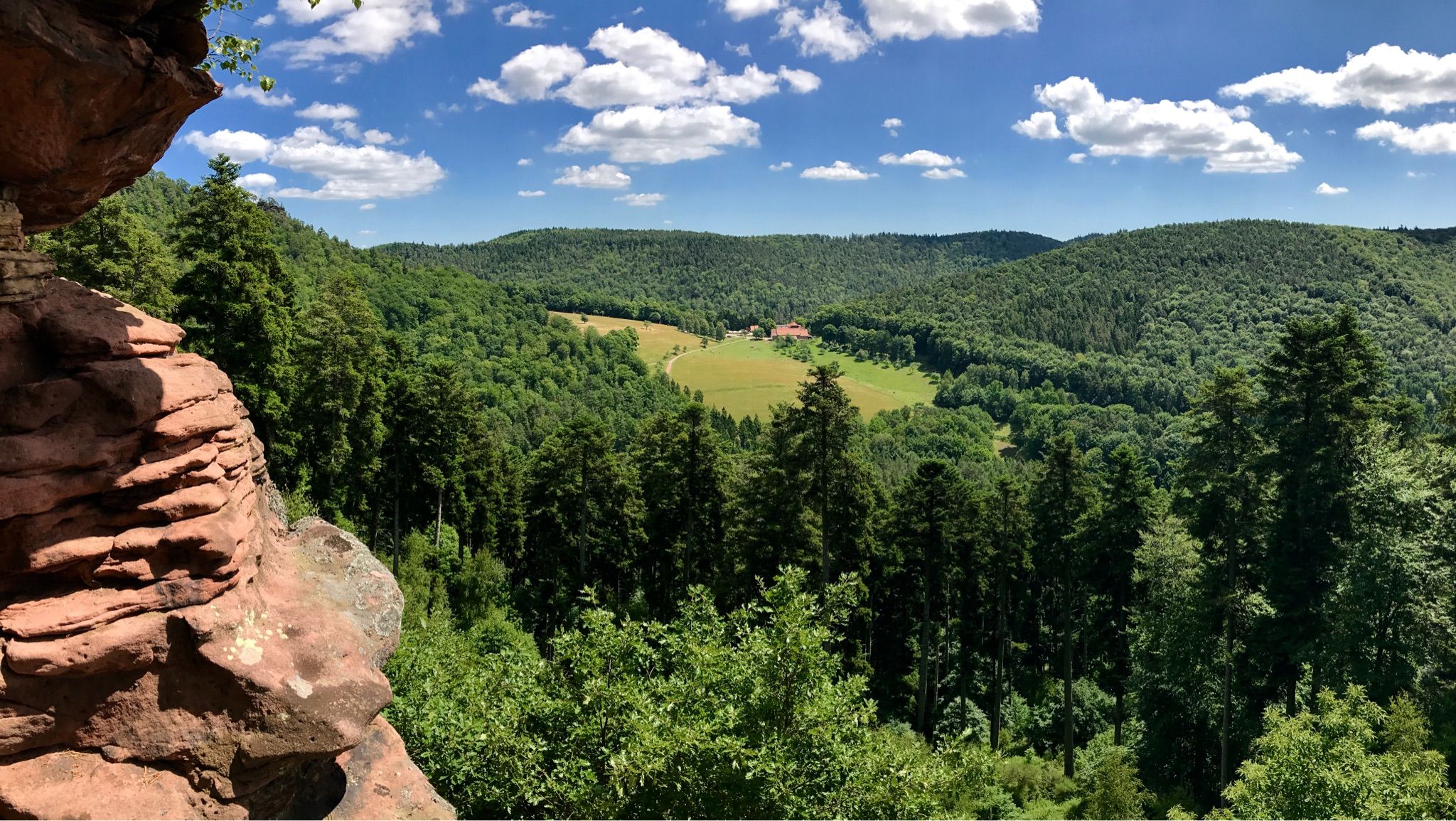
Hike the GR 53 – Explore castles along the Franco-German border
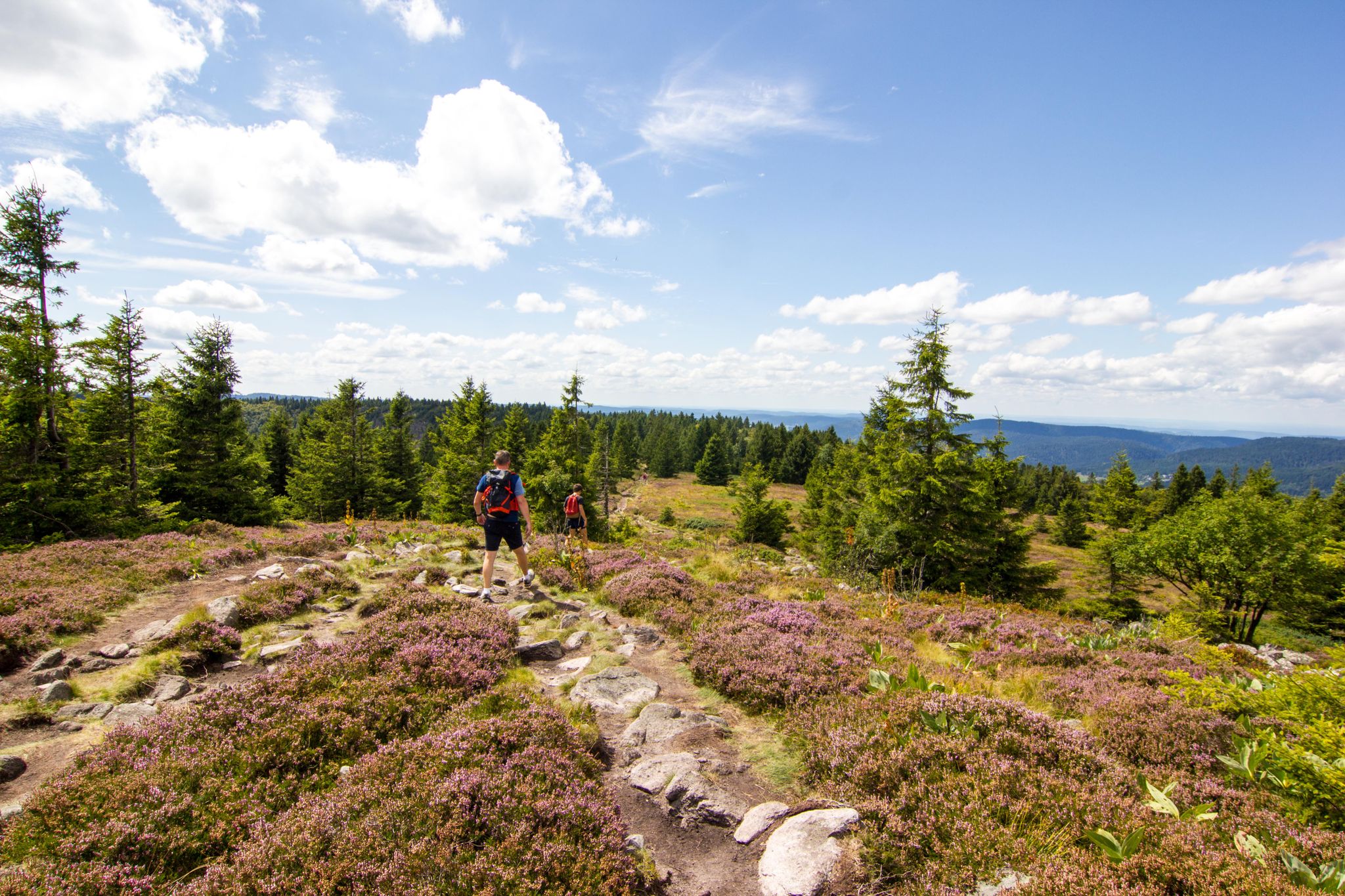
Hiking and relaxation – wellbeing on the Traversée des Vosges
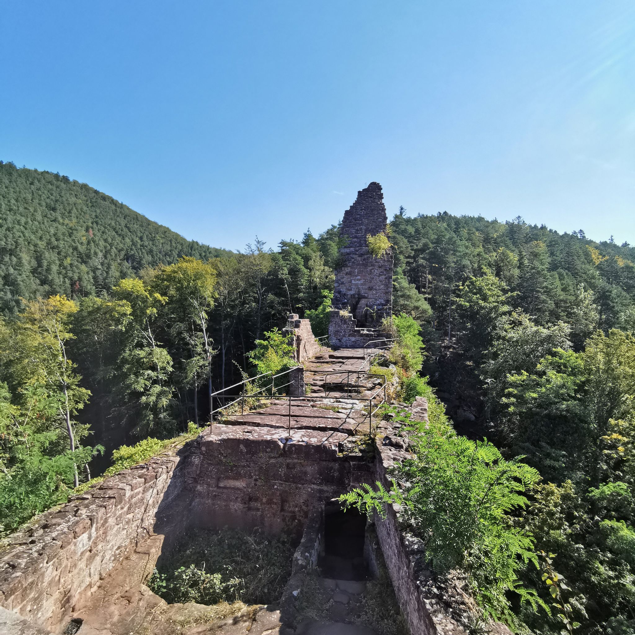
Hiking around Obersteinbach
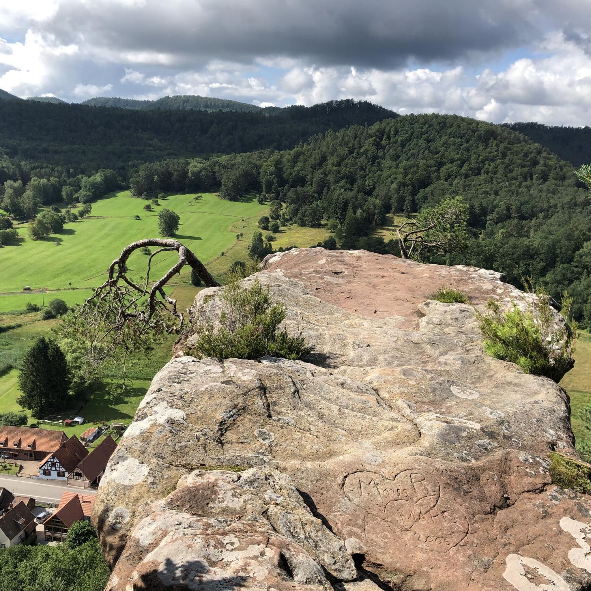
Road Cycling Routes around Obersteinbach
Cycling around Obersteinbach
MTB Trails around Obersteinbach
Running Trails around Obersteinbach

Gravel biking around Obersteinbach


Tips from the Community

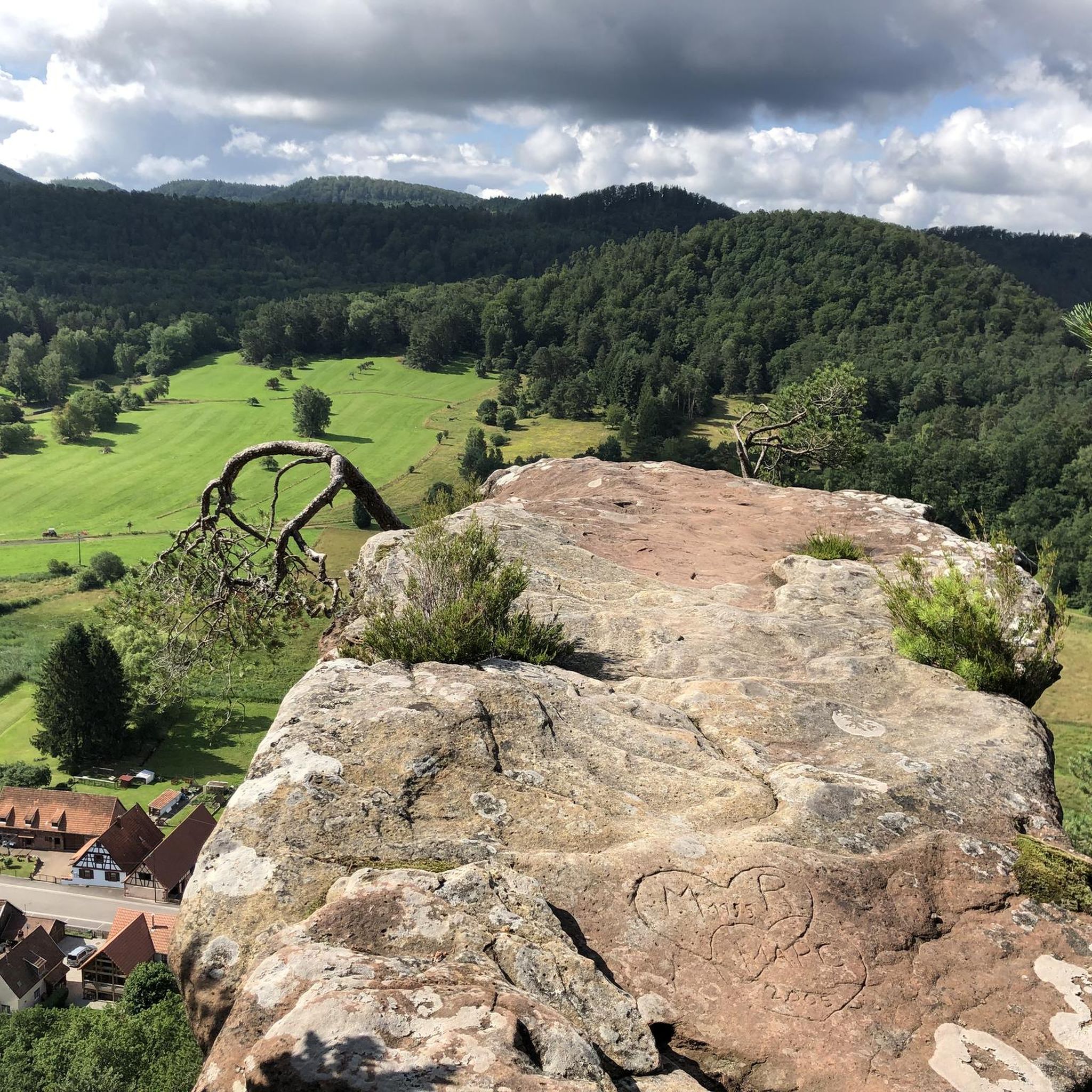
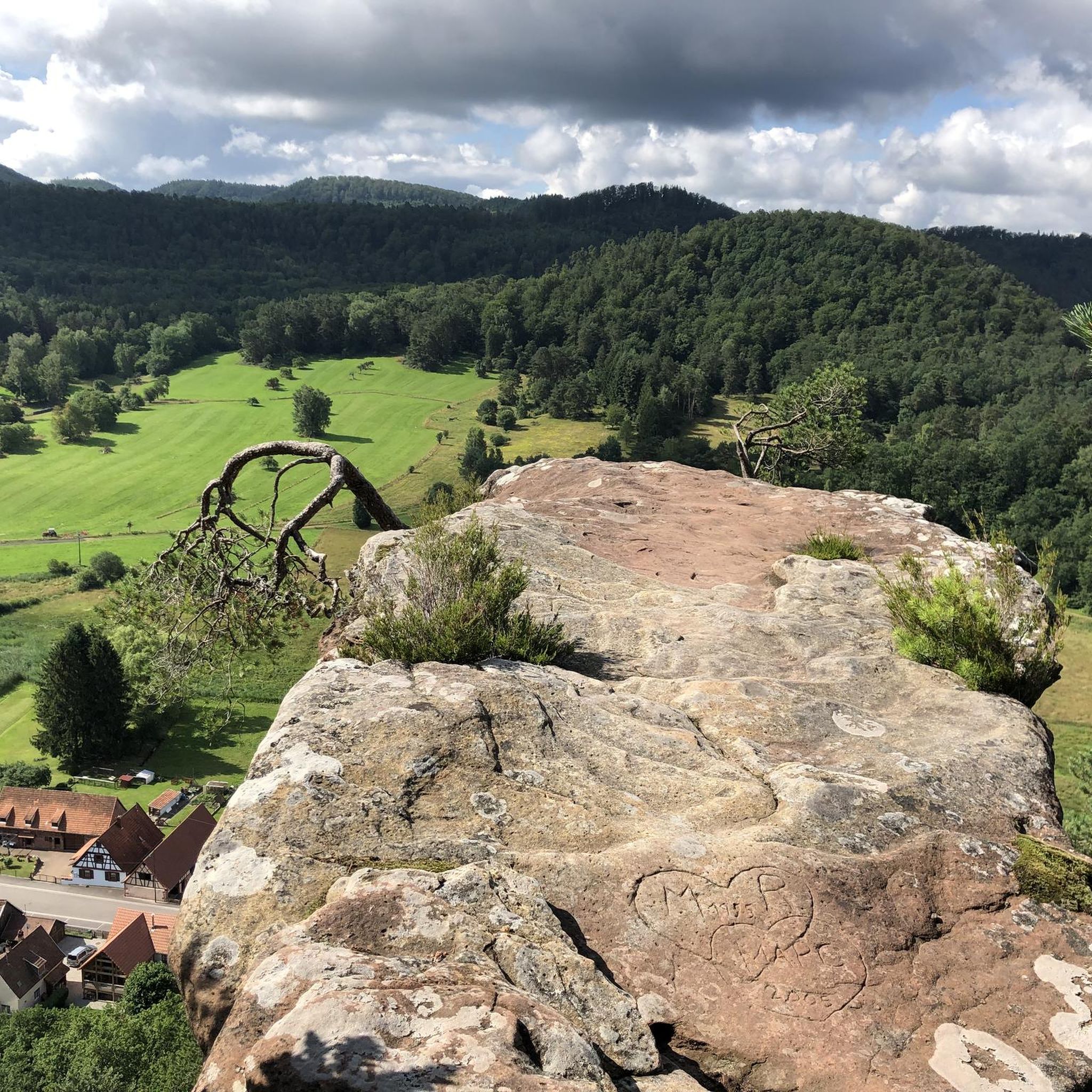
The tree at the very top of Burg Blumenstein is a natural bonsai.
0
0

Good starting point for the tour. Shady and free (as of 2026) parking spaces.
0
0

The term biosphere reserve originated in 1977 following UNESCO's investigations into the topic of Man and the Biosphere. These are protected areas of special ecological and cultural diversity.
7
0

Since parking in Nothweiler (exception: visitor parking lot of the visitor mine) is prohibited almost everywhere in the village, this visitor parking lot is very well suited as a starting point (for hikes to Wegelnburg, to Fleckenstein Castle ruins or for the German-French premium hiking trail "Grenzgängerweg").
1
0

Gienanth fountain from 1842 in front of the manor house in Schönau. In 1835, Ludwig von Gienanth acquired the smelting works, which went bankrupt in 1883.
1
1

The Wegelnburg Castle is located at an altitude of 572 meters, stretching along a mountain ridge. It is the highest castle complex in the Palatinate region, offering panoramic views over the Palatinate Forest/Northern Vosges Biosphere Reserve. This imperial fortress was built in the 12th/13th centuries. Remains of gates, buildings, large rock chambers, and surrounding walls are worth seeing.
4
0
Not far from Hohenbourg Castle, near the German-French border, lies the Maiden's Fountain, which bears witness to a tragic story: For a long time, the lords of Hohenbourg and Wegelnburg were enemies. And as fate would have it, the squire Robert von Wegehiburg fell in love with Edwige, daughter of the lord of Hohenbourg. She often lingered at the abundant spring between the two castles. One day, Robert went hunting. He chased a wild boar that was heading towards the spring where Edwige was. In the heat of the moment, the boar leaped at Edwige, but Robert, a skilled hunter, managed to catch it just in time, and with this act, he won his beloved's heart. The two often spent time secretly at this spring between the feuding castles. But one day, the lord of Hohenbourg surprised his daughter in the arms of his arch-enemy's son. In a blind rage, he stabbed Robert to death before Edwige's eyes. She collapsed with grief and died on the spot, instantly following her lover into the realm of the dead. Since that terrible day, two forget-me-not bushes have grown at this spring, which is now known as the Maiden's Fountain. It is not uncommon to see a white shadow above the Maiden's Fountain at dusk: this is the ghost of Edwige, descending from the cellars of Hohenbourg Castle to visit the place of her love. There she sings mournful words and sheds tears into the stream before being carried away by the wind.
8
0
Frequently Asked Questions
How many mountaineering routes are available around Obersteinbach?
There are 8 mountaineering routes available around Obersteinbach, all rated as moderate difficulty. These routes are highly regarded by the komoot community, with an average rating of 5.0 stars.
What kind of terrain and difficulty can I expect on mountaineering routes near Obersteinbach?
The mountaineering routes around Obersteinbach are characterized by dramatic sandstone rock formations, extensive natural forests, and varied landscapes within the Northern Vosges Regional Nature Park. All routes listed in this guide are rated as moderate, offering a good balance for those with some hiking experience.
What natural features and landmarks can I discover on mountaineering routes around Obersteinbach?
You'll encounter spectacular sandstone rock formations like the Wachtfels, known for its natural arch, and the Wolfsfelsen, a notable climbing area. Many routes also lead to historic castle ruins such as Wegelnburg, Hohenbourg, and Petit Arnsbourg. You can also find beautiful natural highlights like Krappenfels and various summits like Grand Wintersberg.
Are there specific viewpoints offering panoramic vistas?
Yes, the region is rich in viewpoints. The Wachtfels rock offers a beautiful panorama over Obersteinbach and the Steinbach valley. The Belle Vue rock also provides expansive views. Additionally, the View from Wegelnburg Castle – Hohenbourg Castle loop from Nothweiler offers stunning views, as Wegelnburg is the highest castle in the Palatinate.
Are there any circular mountaineering routes around Obersteinbach?
Many of the routes around Obersteinbach are designed as loops, allowing you to start and end at the same point. Examples include the View from Wegelnburg Castle – Hohenbourg Castle loop from Nothweiler and the Hohenbourg Castle – View from Wegelnburg Castle loop from Château de Fleckenstein.
How long do mountaineering routes around Obersteinbach typically take?
The duration of routes varies depending on their length and elevation. For instance, the View from Wegelnburg Castle – Hohenbourg Castle loop from Nothweiler, which is 10.9 km long, typically takes around 3 hours 31 minutes. Shorter routes like the Hohenbourg Castle – View from Wegelnburg Castle loop from Nothweiler (7.7 km) can be completed in about 2 hours 36 minutes.
What do other mountaineers enjoy most about the routes in Obersteinbach?
The routes in Obersteinbach are highly rated by the komoot community, with an average score of 5.0 stars from over 10 reviews. Mountaineers often praise the dramatic sandstone rock formations, the historical castle ruins, and the extensive forests that define the region's natural beauty.
Are there any routes that explore unique rock formations?
Absolutely. The region is famous for its distinctive rock formations. You can explore the impressive Altschloss Rocks on the Altschlossfelsen – Altschloss Rocks loop from Eppenbrunn, known for their spectacular formations and intense play of colors.
Can I find routes that pass by lakes or ponds?
While the primary focus is on mountain hiking, some routes may offer views of nearby water bodies. The region features several beautiful ponds such as Rössels Pond and Sägmühl Pond, which can be explored in the wider area around Obersteinbach.
Are there any routes that are particularly good for exploring historical sites?
Yes, the area is rich in history. Many routes incorporate visits to medieval castle ruins. For example, the Tziganes Rock – Klingelfels Rock Formation loop from Schönau (Pfalz) offers a journey through a landscape dotted with historical significance and unique rock formations.
What is the best time of year for mountaineering in Obersteinbach?
The Northern Vosges Regional Nature Park, where Obersteinbach is located, is beautiful throughout the year. Spring and autumn offer pleasant temperatures and vibrant foliage, making them ideal for hiking. Summer is also popular, though it can be warmer. Winter mountaineering is possible, but conditions may require appropriate gear due to potential snow or ice.
Most popular routes around Obersteinbach
Most popular attractions around Obersteinbach

Get inspired with the komoot mobile app


Explore more
Browse the best Mountain Hikes & Routes in other regions.
