The best running trails around Tränheim
4.6
(193)
10,386
runners
448
runs
Jogging routes around Tränheim traverse a landscape characterized by rolling hills and vineyards, typical of the Alsace region in France. The terrain often includes sections through agricultural land and forested areas, providing varied running surfaces. Elevation changes are common, with some routes featuring moderate climbs and descents. The region's natural features offer a mix of open views and sheltered paths for runners.
Best jogging routes around Tränheim
- The most popular jogging route is Brunnen am Straßenrand – Refuge des amis…
Last updated: September 29, 2026
3.0
(2)
177
runners
Hard run. Very good fitness required. Mostly paved surfaces. Suitable for all skill levels.
58
runners
Moderate run. Good fitness required. Mostly paved surfaces. Suitable for all skill levels.

29
runners
Moderate run. Good fitness required. Mostly paved surfaces. Suitable for all skill levels.
5.0
(2)
22
runners
19.6km
02:25
520m
520m
Hard run. Very good fitness required. Mostly paved surfaces. Suitable for all skill levels.
5.0
(1)
24
runners
Moderate run. Good fitness required. Mostly paved surfaces. Suitable for all skill levels.
Get access to more routes and recommendations from other explorers.
Already have an account?
Our route recommendations are based on thousands of hikes, rides, and runs completed by other people on komoot.
Start today with a free account
Your next adventure awaits.
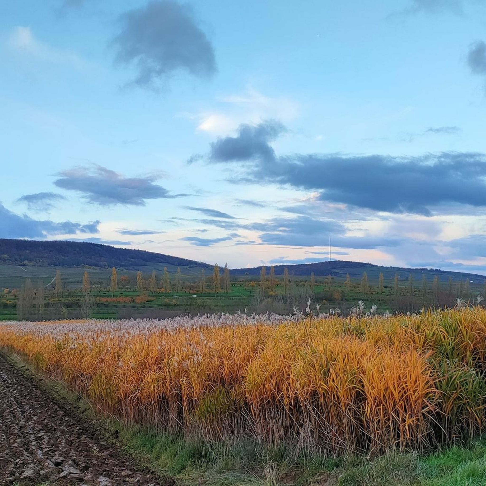
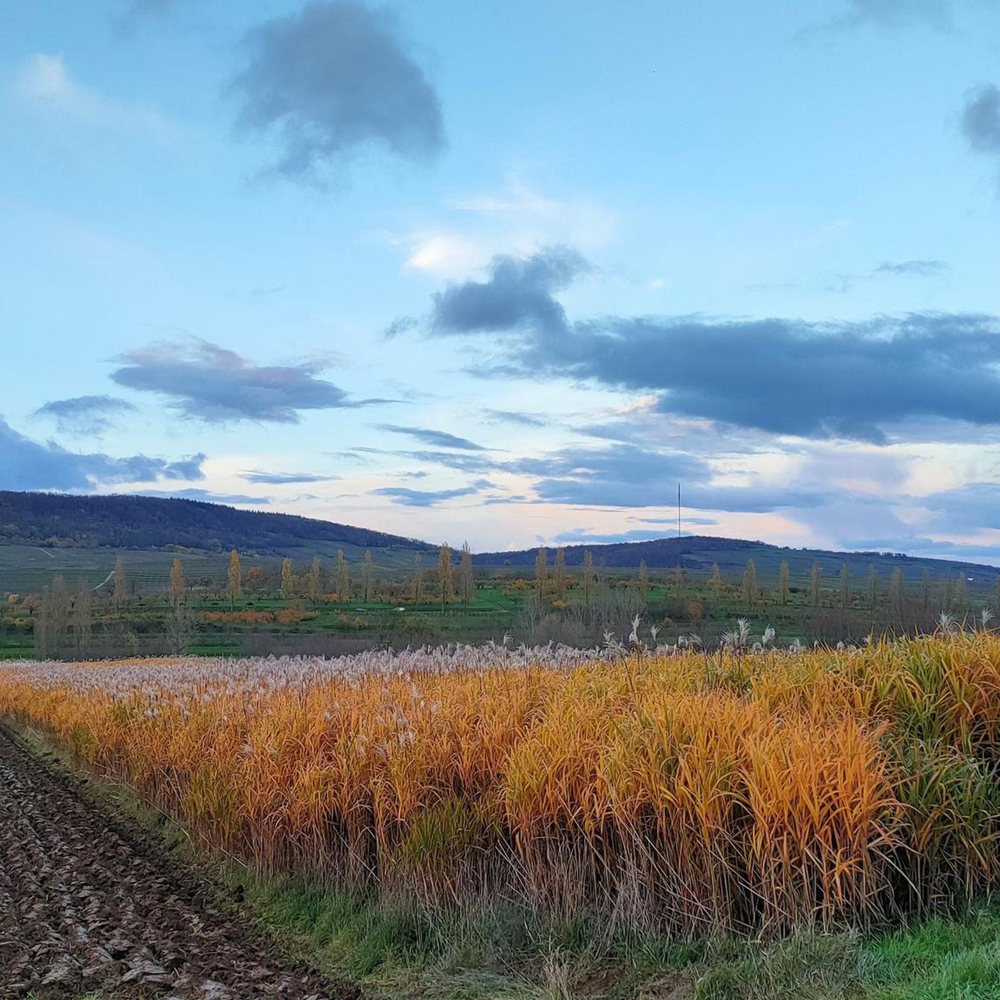
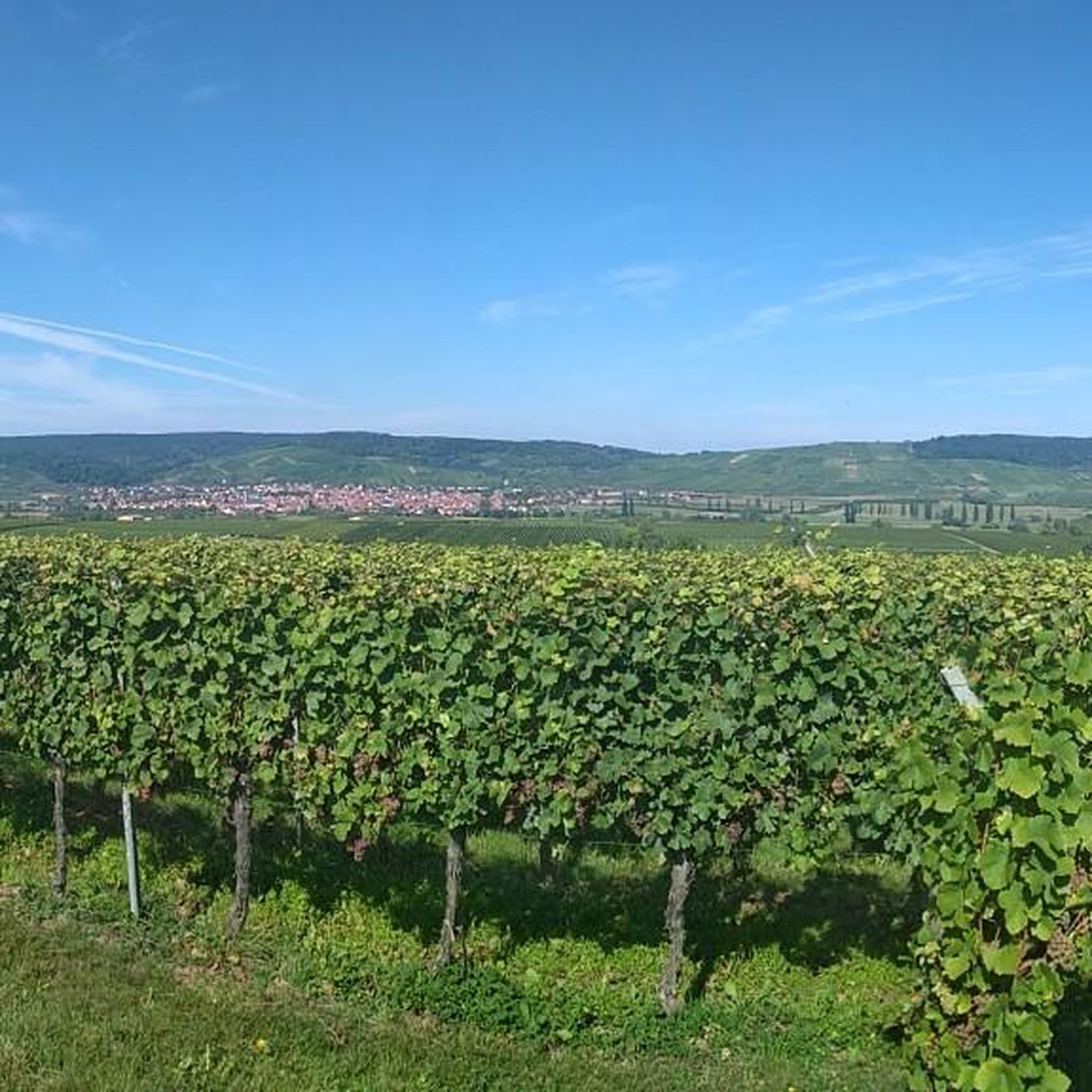
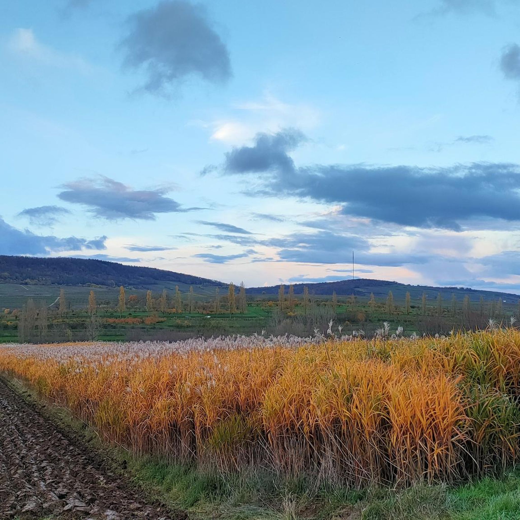
Tips from the Community

Beautiful, easy hiking trail, good to walk
0
0

idyllic riverside cycle path, many cyclists, joggers and walkers
0
0

nice tour from Molsheim via Avolsheim back
0
0

Beautiful panorama of the city through the vineyards from the Geierstein.
0
0

As you walk along the banks of the Bruche River in Avolsheim, you will discover a peaceful route that takes you through lush landscapes and the charming Alsatian countryside, with views of the river that meanders gently along your path. This particular spot offers stunning views of the river.
0
0

Very beautiful viewpoint over the town of WESTHOFFEN, orientation table and benches for picnicking.
0
0

The canal is a feast for the eyes and an oasis from Strasbourg to Soultz-les-Bains. Pure nature.
0
0

Important point during a walk. You will find a pump there as well as a bracket for repair
0
0
Frequently Asked Questions
How many running routes are available around Tränheim?
There are over 370 running routes available around Tränheim, offering a wide variety of options for all skill levels. These routes traverse the diverse landscape of the Alsace region, including vineyards, forests, and rural roads.
What kind of terrain can I expect on running trails in Tränheim?
The running trails around Tränheim feature a varied terrain typical of the Alsace region. You can expect rolling hills, sections through vineyards, agricultural land, and forested paths. Elevation changes are common, providing a mix of open views and sheltered routes.
Are there running routes suitable for beginners in Tränheim?
Yes, Tränheim offers a good selection of routes suitable for beginners. There are over 30 easy running trails, many of which feature relatively flat profiles, making them ideal for a relaxed jog through the local area.
What do other runners say about the trails in Tränheim?
The running routes in Tränheim are highly rated by the komoot community, with an average score of 4.5 stars from over 120 reviews. More than 8,000 runners have explored the area, often praising the varied terrain and scenic beauty of the vineyard paths and forested sections.
Are there challenging running routes with significant elevation around Tränheim?
Yes, for those seeking a challenge, Tränheim offers several difficult running routes with significant elevation gain. An example is the Geierstein – Relais du Geisweg loop from Westhoffen, which covers nearly 20 km with over 500 meters of ascent, taking around 2 hours 25 minutes to complete.
Are the running trails in Tränheim dog-friendly?
Many of the running trails in the Tränheim area are dog-friendly, especially those through forests and rural paths. It's always recommended to keep your dog on a leash, especially when passing through vineyards or near agricultural areas, and to respect local regulations regarding pets.
Are there family-friendly running routes in Tränheim?
Yes, Tränheim has numerous moderate and easy routes that are suitable for families. These trails often feature less challenging terrain and shorter distances, allowing for an enjoyable outing with children. Look for routes that avoid steep climbs and are well-maintained.
What are some interesting landmarks or attractions I can see along the running routes?
While jogging around Tränheim, you can encounter various points of interest. Some routes may pass near historical sites like Molsheim Old Town or offer views of natural features such as the Canal de la Bruche. You might also spot castles like Dachstein Castle or the Ruins of Freudeneck Castle in the wider region.
Are there circular running routes available in Tränheim?
Yes, many of the running routes around Tränheim are designed as circular loops, allowing you to start and finish at the same point. For example, the Geierstein loop from Westhoffen is a moderate 11.6 km circular route, perfect for a scenic run.
Is public transport available to access running trails in Tränheim?
Tränheim is a village in the Bas-Rhin department of France. While local buses might connect to nearby towns, direct public transport access to specific trailheads can be limited. It's advisable to check local bus schedules or consider driving to the starting points of your chosen routes.
Are there any cafes or refreshment stops along the running routes in Tränheim?
While many routes pass through rural areas, some may lead you near villages where you can find cafes or bakeries. For example, the Lock House No. 3 – Cyclists' Refreshment Stop is a known spot along the Canal de la Bruche that could be incorporated into a longer run.
What are the best times of year to go running in Tränheim?
Spring and autumn generally offer the most pleasant conditions for running in Tränheim, with mild temperatures and beautiful scenery as vineyards change color. Summer can be warm, especially at midday, so early morning or late afternoon runs are recommended. Winter running is possible, but trails might be muddy or icy, especially in shaded forest sections.
Most popular attractions around Tränheim

Get inspired with the komoot mobile app


Explore more
Browse the best Running Trails & Routes in other regions.
