The best running trails around Scharrachbergheim-Irmstett
4.5
(126)
7,179
runners
17
runs
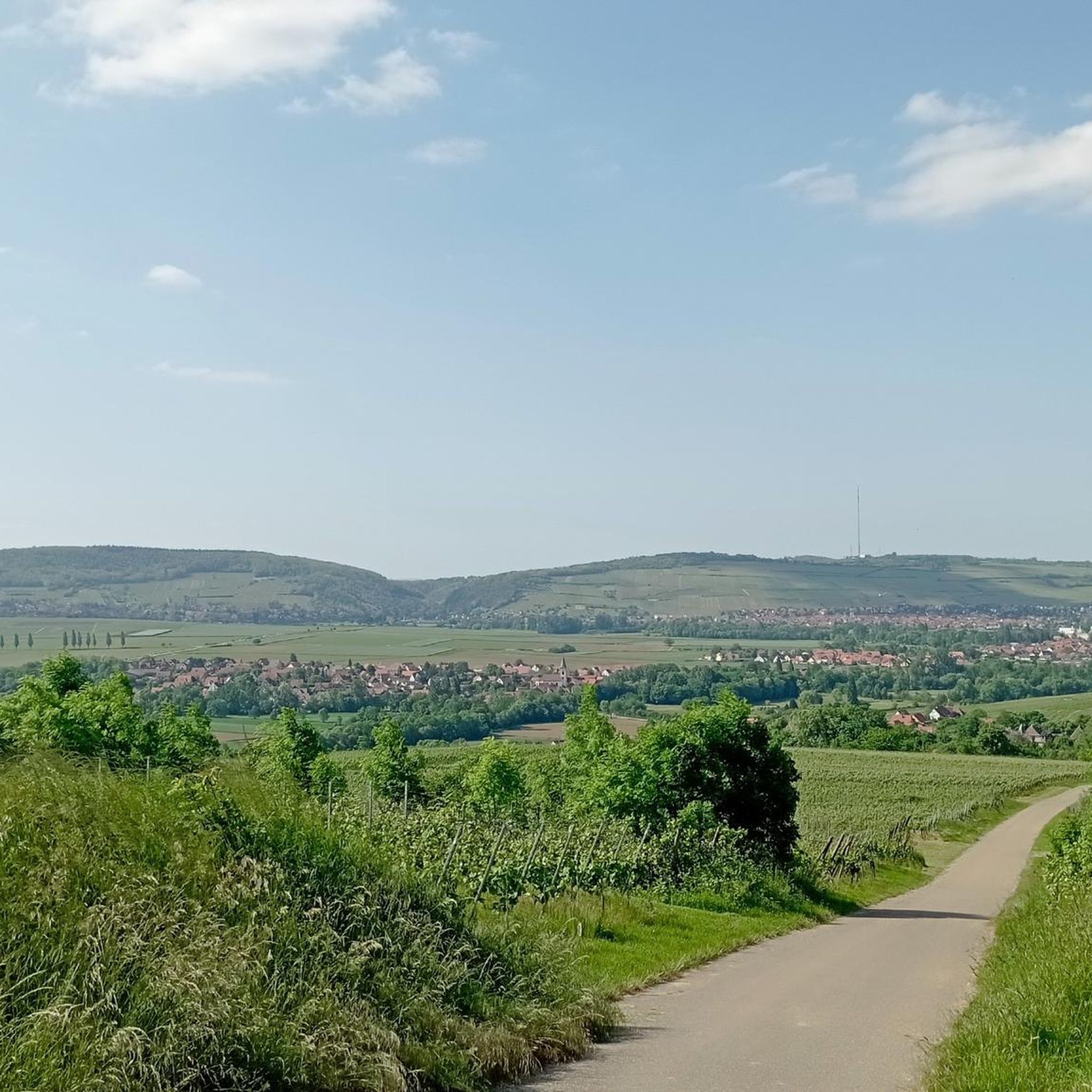
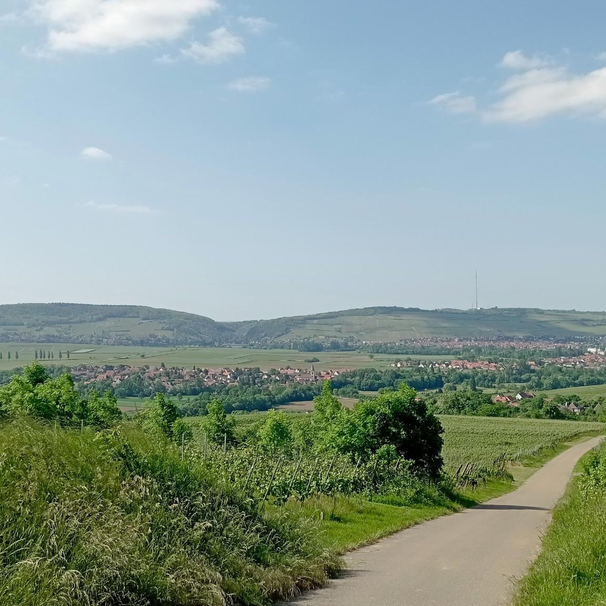
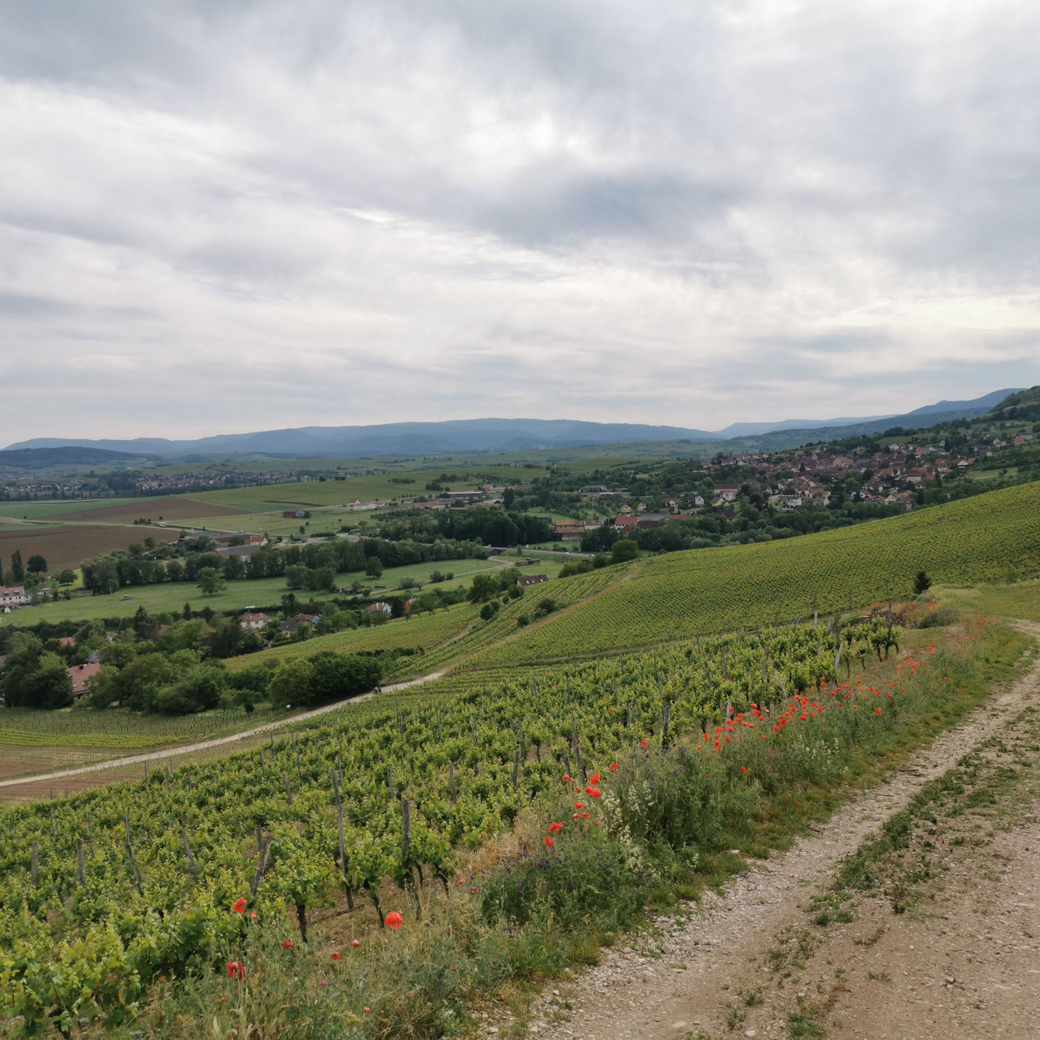
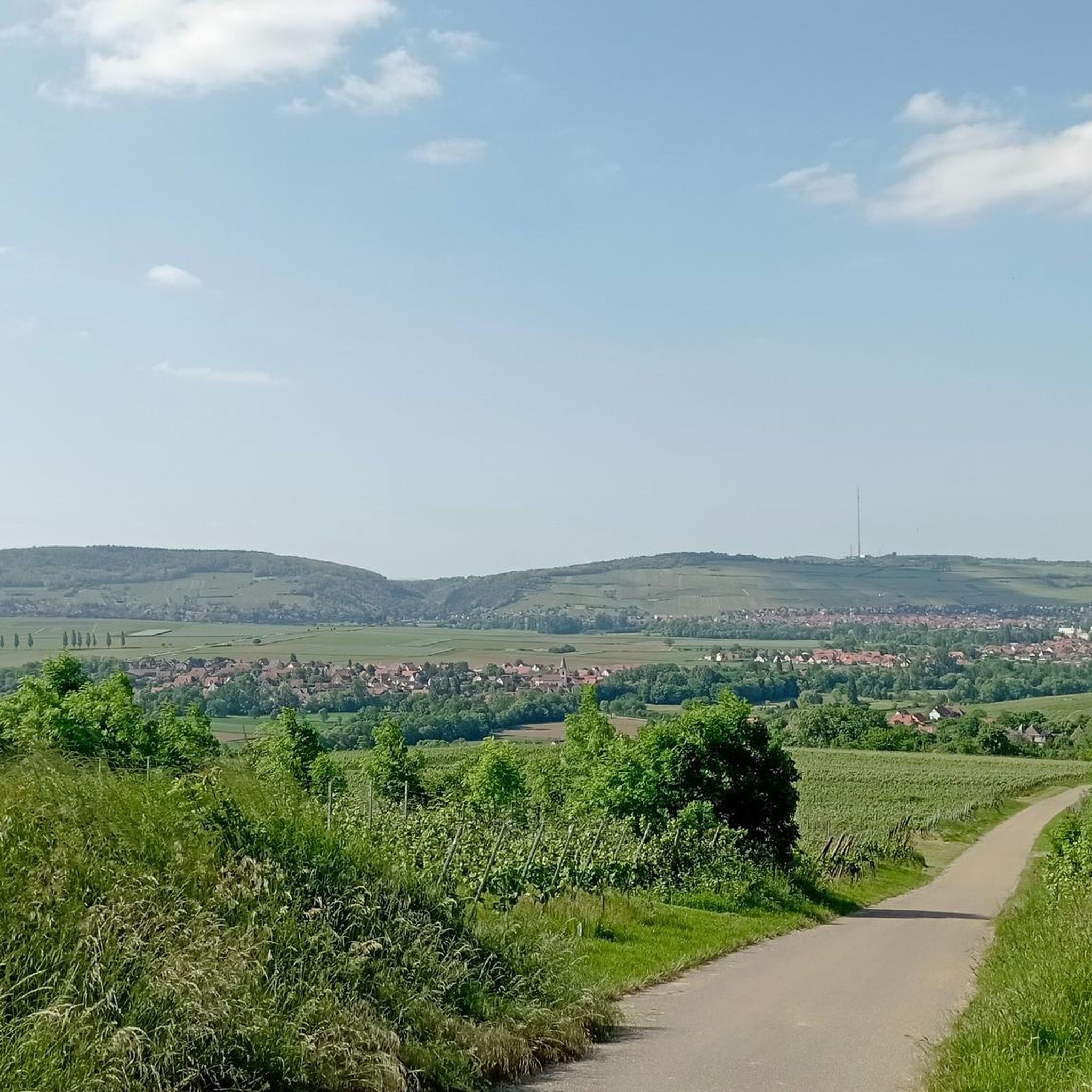
Jogging routes around Scharrachbergheim-Irmstett traverse a varied landscape in the Bas-Rhin department of Alsace, France. The region is characterized by rolling vineyards of the Couronne d'Or, scenic hills such as Scharrach Hill and Horn, and tranquil river paths along the Mossig and Canal de la Bruche. This combination offers diverse terrain for running, from gentle slopes to more challenging ascents.
Best jogging routes around Scharrachbergheim-Irmstett
- The most popular jogging route is Brunnen am Straßenrand – Refuge des amis de la Marine loop from Scharrachbergheim-Irmstett, a 15.5 miles (25.0 km) trail that takes 3 hours 9 minutes to complete. This challenging route offers extensive views over the vineyards and surrounding countryside.
- Another top favourite among local runners is Soultz-les-Bains train station loop from Scharrachbergheim-Irmstett, a moderate 4.1 miles (6.6 km) path. This route features relatively flat sections, suitable for a steady pace through the local area.
- Local runners also love the Schlosss Scharrag loop from Scharrachbergheim-Irmstett, a 8.0 miles (12.9 km) trail leading through agricultural plains and past local landmarks, often completed in about 1 hour 25 minutes.
- Jogging around Scharrachbergheim-Irmstett is defined by vineyard trails, river paths, and local hills. The network offers options for different ability levels, from gentle runs along canals to more demanding routes with significant elevation gain.
- The routes in Scharrachbergheim-Irmstett are highly rated by the komoot community with an average score of 4.5 stars from over 100 reviews. More than 7000 runners have used komoot to explore Scharrachbergheim-Irmstett's varied terrain.
Last updated: September 29, 2026
3.0
(2)
177
runners
Hard run. Very good fitness required. Mostly paved surfaces. Suitable for all skill levels.
58
runners
Moderate run. Good fitness required. Mostly paved surfaces. Suitable for all skill levels.

29
runners
Moderate run. Good fitness required. Mostly paved surfaces. Suitable for all skill levels.
5.0
(1)
24
runners
Moderate run. Good fitness required. Mostly paved surfaces. Suitable for all skill levels.
27
runners
11.1km
01:11
40m
40m
Moderate run. Good fitness required. Mostly paved surfaces. Suitable for all skill levels.
Get access to more routes and recommendations from other explorers.
Already have an account?
Our route recommendations are based on thousands of hikes, rides, and runs completed by other people on komoot.
Start today with a free account
Your next adventure awaits.
Tips from the Community

idyllic riverside cycle path, many cyclists, joggers and walkers
0
0

nice tour from Molsheim via Avolsheim back
0
0

As you walk along the banks of the Bruche River in Avolsheim, you will discover a peaceful route that takes you through lush landscapes and the charming Alsatian countryside, with views of the river that meanders gently along your path. This particular spot offers stunning views of the river.
0
0

The canal is a feast for the eyes and an oasis from Strasbourg to Soultz-les-Bains. Pure nature.
0
0

Important point during a walk. You will find a pump there as well as a bracket for repair
0
0

Air terminal and repair along the Bruche canal with picnic tables in the shade
0
0


Very nice Romanesque chapel, with incredible medieval frescoes inside and some lovely but scattered carved stones. Of course, time has done its work, like the various works and layouts. But for those who know how to read between the lines of history, it is a treasure.
0
1
Frequently Asked Questions
How many running routes are available in Scharrachbergheim-Irmstett?
There are 13 distinct running routes around Scharrachbergheim-Irmstett listed on komoot, offering a variety of distances and difficulty levels for joggers.
What kind of terrain can I expect on the jogging routes around Scharrachbergheim-Irmstett?
The region offers a diverse landscape for running. You'll find routes traversing rolling vineyards of the Couronne d'Or, scenic hills like Scharrach Hill and Horn, and tranquil river paths along the Mossig and Canal de la Bruche. This means you can choose from gentle slopes to more challenging ascents.
Are there any easy or beginner-friendly running routes in the area?
While there are no routes specifically graded as 'easy' in the guide, several moderate routes feature relatively flat sections. For example, the Soultz-les-Bains train station loop from Scharrachbergheim-Irmstett is a moderate 4.1 miles (6.6 km) path with minimal elevation gain, suitable for a steady pace.
Can I find challenging running trails with significant elevation gain?
Yes, Scharrachbergheim-Irmstett offers several challenging routes. The Brunnen am Straßenrand – Refuge des amis de la Marine loop from Scharrachbergheim-Irmstett is a difficult 15.5 miles (25.0 km) trail with over 640 meters of elevation gain, providing extensive views over the vineyards and countryside. Another difficult option is the Colline Horn – Sacre Coeur (Horn) loop from Scharrachbergheim-Irmstett.
Are the running routes in Scharrachbergheim-Irmstett suitable for families?
Many routes along the Canal de la Bruche and Mossig river are well-suited for leisurely walks and jogging, offering flat and easily accessible paths. These are generally good options for families, though specific family-friendly routes are not detailed in this guide. Consider routes with less elevation for a more comfortable family experience.
Are dogs allowed on the jogging trails around Scharrachbergheim-Irmstett?
Generally, dogs are welcome on trails in the Alsace region. However, it's always recommended to keep your dog on a leash, especially in vineyard areas or near agricultural land, and to respect local signage regarding pet regulations.
What are some scenic highlights or landmarks I might encounter while running?
You can expect beautiful panoramic views of the vineyards, the Vosges mountains, and neighboring villages, especially from elevated points like Scharrach Hill and Horn. Routes along the Canal de la Bruche cycle path offer pleasant scenery. You might also pass by local landmarks like the Lock House No. 3 – Cyclists' Refreshment Stop or the Molsheim Old Town if your route extends in that direction.
Are there any circular running routes available?
Yes, many of the routes in the area are designed as loops. Examples include the popular Brunnen am Straßenrand – Refuge des amis de la Marine loop from Scharrachbergheim-Irmstett and the Schlosss Scharrag loop from Scharrachbergheim-Irmstett, allowing you to start and finish in the same location.
Where can I park my car when accessing the jogging trails?
While specific parking spots are not detailed in this guide, Scharrachbergheim-Irmstett is a village with various access points to trails. Look for public parking areas within the village or near popular trailheads. Parking is generally available, especially near the starting points of well-known routes.
Is it possible to reach the running routes by public transport?
The guide mentions the Soultz-les-Bains train station loop, indicating that some routes are accessible via train stations in nearby towns. For detailed public transport information to specific trailheads, it's advisable to check local transport schedules for the Bas-Rhin department.
What is the best time of year to go jogging in Scharrachbergheim-Irmstett?
The region is beautiful year-round, but spring and autumn offer particularly pleasant conditions for running, with mild temperatures and vibrant scenery, especially through the vineyards. Summer can be warm, so early morning or late evening runs are recommended. Winter running is also possible, though some paths might be muddy or require appropriate gear.
What do other runners say about the trails in Scharrachbergheim-Irmstett?
The running routes in Scharrachbergheim-Irmstett are highly rated by the komoot community, with an average score of 4.5 stars from over 100 reviews. More than 7,000 runners have used komoot to explore the varied terrain, often praising the picturesque vineyard trails and the diverse natural scenery.
Are there any routes that pass by cafes or places to rest?
Yes, some routes may pass by local establishments. For instance, the Lock House No. 3 – Cyclists' Refreshment Stop along the Canal de la Bruche is a known cafe. Exploring routes that go through or near villages will also increase your chances of finding cafes or places to rest.
Most popular routes around Scharrachbergheim-Irmstett
Most popular attractions around Scharrachbergheim-Irmstett

Get inspired with the komoot mobile app


Explore more
Browse the best Running Trails & Routes in other regions.
