The best MTB trails around Le Champ-Près-Froges
4.3
(377)
2,657
riders
167
rides
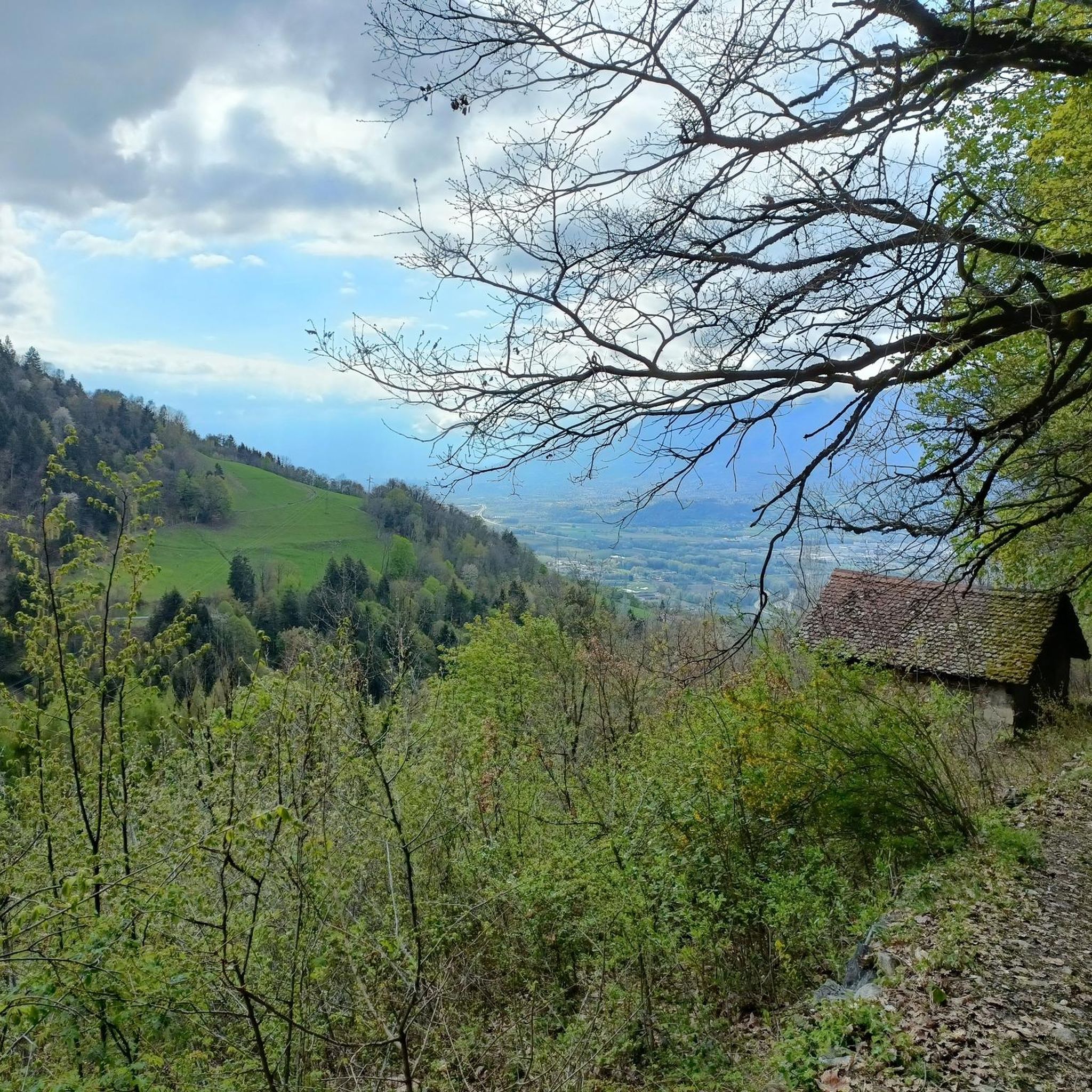
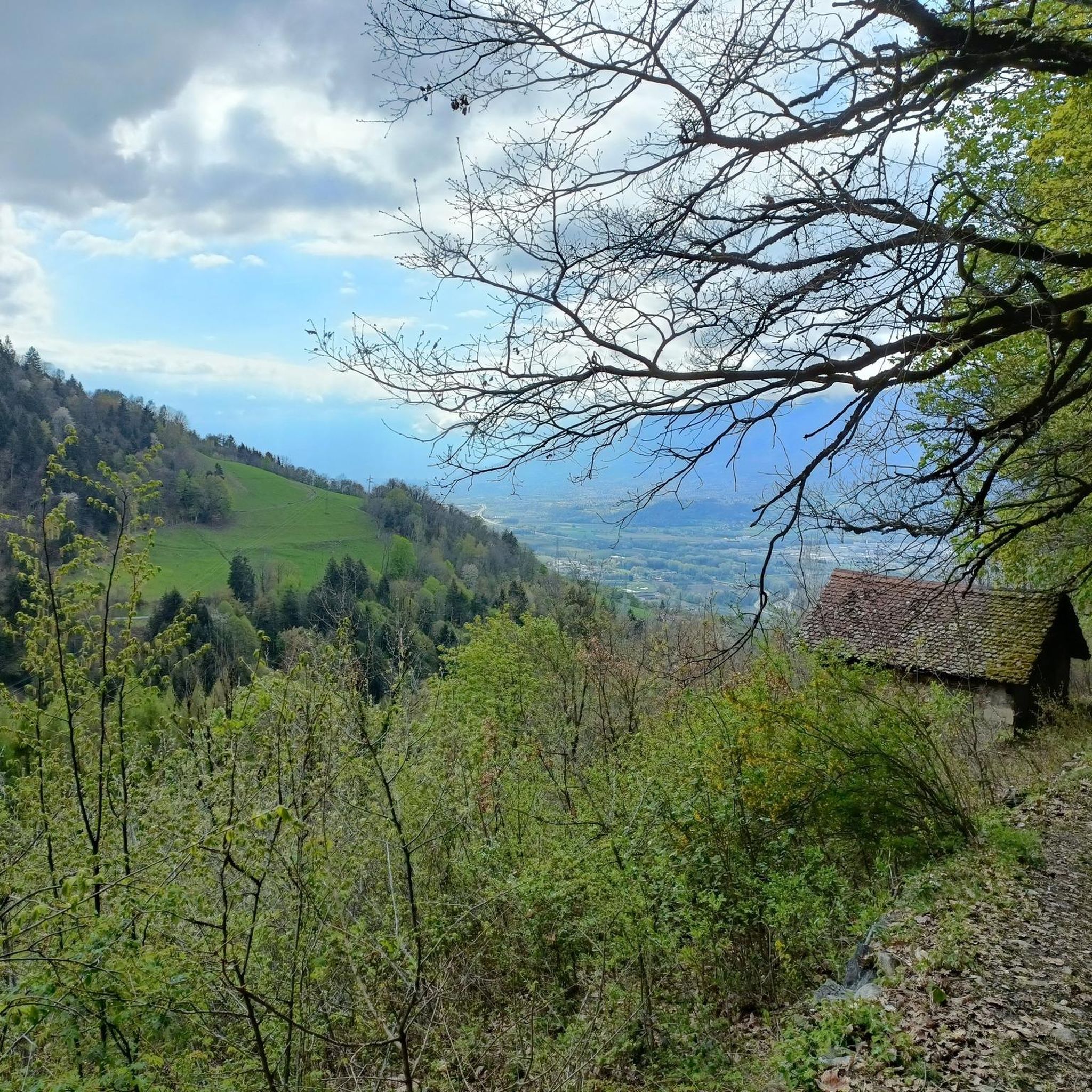
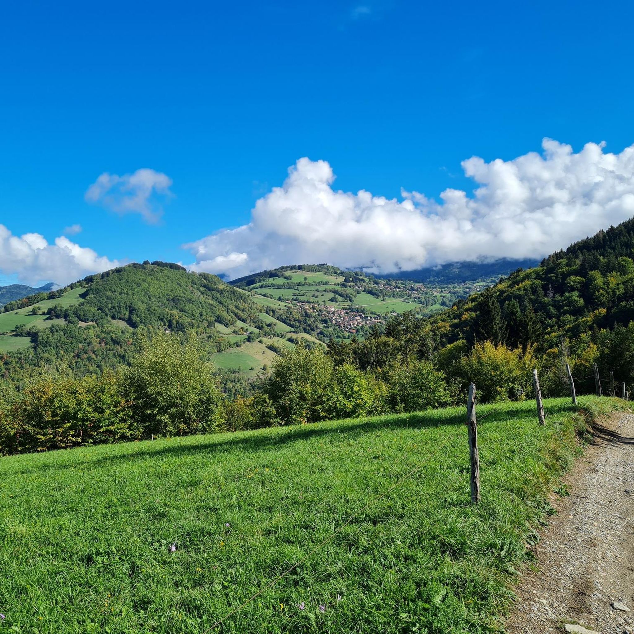
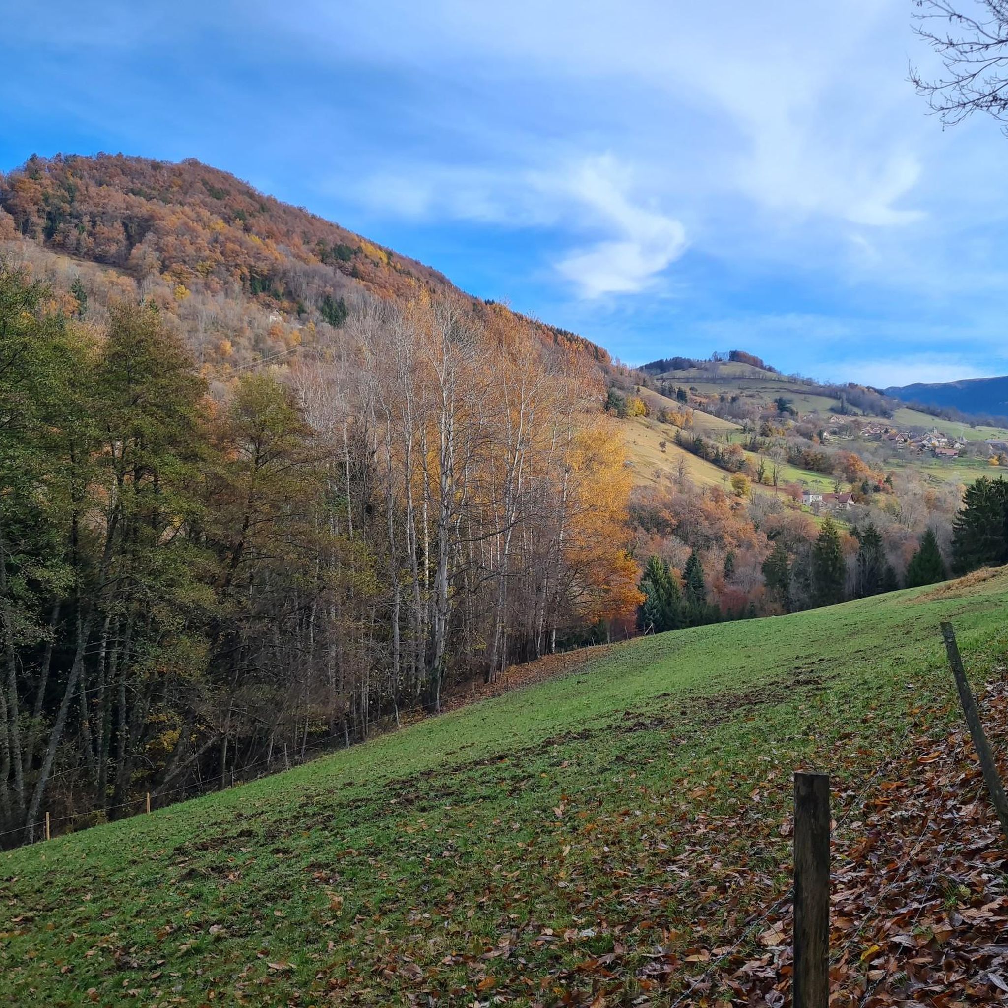
Mountain bike trails around Le Champ-Près-Froges are situated at the foot of the Belledonne massif in the Isère department of France. The region features varied terrain, ranging from the Grésivaudan valley to higher mountain passes, with altitudes starting around 450 meters. Dense forests and numerous trails characterize the landscape, offering diverse environments for mountain biking.
Best mountain bike trails around Le Champ-Près-Froges
- The most popular mountain bike trail is Tour de Montfallet – Tigneux loop from Le Champ-près-Froges, a…
Last updated: October 4, 2026
4.5
(4)
12
riders
17.4km
01:49
570m
580m
Moderate mountain bike ride. Good fitness required. Advanced riding skills necessary.
5.0
(2)
14
riders
20.5km
01:25
40m
40m
Easy mountain bike ride. Great for any fitness level. Suitable for all skill levels.

5.0
(3)
10
riders
32.9km
03:28
1,150m
1,150m
Hard mountain bike ride. Very good fitness required. Advanced riding skills necessary.
4.0
(2)
7
riders
14.4km
01:34
540m
540m
Moderate mountain bike ride. Good fitness required. Suitable for all skill levels.
4.0
(1)
7
riders
15.4km
01:54
720m
720m
Hard mountain bike ride. Good fitness required. Advanced riding skills necessary. Some portions of the route may require you to push your bike.
Get access to more routes and recommendations from other explorers.
Already have an account?
Our route recommendations are based on thousands of hikes, rides, and runs completed by other people on komoot.
Start today with a free account
Your next adventure awaits.

Tips from the Community

Beautiful view of the region, accessible tower, table for lunch, orientation table.
0
0

The bottom of the descent is made up of fairly high steps, for a beginner mountain biker you will have to get off the bike!
0
0

Marks the boundary between the communes of Les Adrets and Laval-en-Belledonne. 984 or 988m, depending on the sources. Monument of the Maquisards
1
0


The Col des Mouilles from Villard Bonnot is 9.7 km long with a total drop of 769 m. The average gradient is 7.87% with maximum gradients of 12%.
1
0

From VILLARD BONNOT: 9.77 km for an average slope of 7.9% (max 12%)
0
0
Frequently Asked Questions
How many mountain bike trails are available around Le Champ-près-Froges?
There are nearly 150 mountain bike trails around Le Champ-près-Froges. This includes a wide range of difficulties, with 13 easy routes, 27 moderate routes, and over 100 challenging trails for experienced riders.
Are there any easy mountain bike trails suitable for beginners or families?
Yes, Le Champ-près-Froges offers several easy mountain bike trails. A great option is the View of the Isère River loop from Le Champ-près-Froges, an easy 20.4 km path with minimal elevation gain, providing scenic views of the river. Another easy route is the Vtt1 loop from Froges, which is 28.4 km long.
What are the best trails for experienced mountain bikers looking for a challenge?
For experienced mountain bikers, the region offers over 100 difficult trails. A notable challenging route is the Col des Mouilles (1020 m) – Tour de Montfallet loop from Le Champ-près-Froges. This 32.9 km trail leads through mountain passes and forested areas, featuring significant elevation changes, and typically takes around 3 hours 28 minutes to complete.
What kind of terrain can I expect on mountain bike trails in Le Champ-près-Froges?
The terrain around Le Champ-près-Froges is highly varied, ranging from the Grésivaudan valley to higher mountain passes. You'll encounter dense forests, challenging ascents, and descents, especially as you approach the Belledonne massif. Some routes, like those leading to the Col du Coq, feature rugged mountain terrain with sections that can be steep dirt and gravel paths.
Are there any circular mountain bike routes available?
Yes, many of the mountain bike routes around Le Champ-près-Froges are circular. Examples include the popular Tour de Montfallet – Tigneux loop from Le Champ-près-Froges, a moderate 17.2 km trail, and the challenging Col des Mouilles (1020 m) – Tour de Montfallet loop from Le Champ-près-Froges.
What are some scenic viewpoints or landmarks I can see while mountain biking?
The region offers breathtaking views and notable landmarks. You can enjoy panoramic vistas from prominent peaks like Dent de Crolles, which offers views over the entire Grésivaudan valley. Mountain passes such as Col du Coq and Bellefont Pass also provide stunning scenery. The Revollat Cross is another viewpoint worth seeking out.
What do other mountain bikers say about the trails in Le Champ-près-Froges?
The mountain bike trails in Le Champ-près-Froges are highly rated by the komoot community, with an average score of 4.4 stars from over 250 reviews. More than 2000 mountain bikers have used komoot to explore the varied terrain, often praising the diverse landscapes and the options available for different ability levels.
Are there any routes that start directly from Le Champ-près-Froges village?
Yes, many trails originate directly from Le Champ-près-Froges. For example, the Tour de Montfallet – Tigneux loop from Le Champ-près-Froges and the View of the Isère River loop from Le Champ-près-Froges both start from the village, providing convenient access to the trail network.
What is the best season for mountain biking in this region?
Le Champ-près-Froges, situated at the foot of the Belledonne massif, offers diverse conditions throughout the year. While specific recommendations depend on the trail's altitude, spring through autumn generally provides the most favorable weather for mountain biking. Higher mountain passes may be inaccessible due to snow in winter, but lower-altitude trails can still be ridden, though conditions should be checked.
Are there any mountain bike trails that offer views of the Isère River?
Yes, the View of the Isère River loop from Le Champ-près-Froges is an easy 20.4 km path specifically designed to provide scenic views of the Isère River and its surrounding areas, with minimal elevation gain.
Are there any trails that explore the Belledonne massif?
Le Champ-près-Froges is located at the foot of the majestic Belledonne massif, and many trails provide access to its diverse landscapes. While not starting directly from the village, the Tigneux – Belledonne loop from Les Adrets is a moderate 14.3 km route that explores the Belledonne area, offering a taste of its challenging terrain and natural beauty.
Most popular routes around Le Champ-Près-Froges
Most popular attractions around Le Champ-Près-Froges

Get inspired with the komoot mobile app


Explore more
Browse the best MTB trails in other regions.
