The best running trails around Mittlach
4.5
(336)
17,315
runners
12
runs
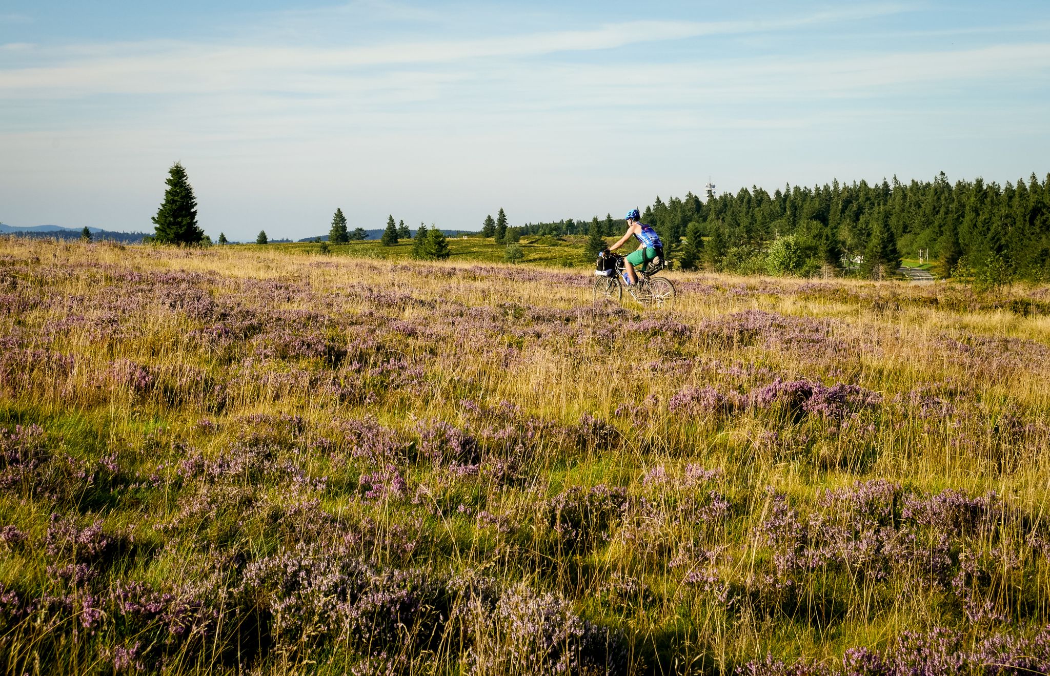
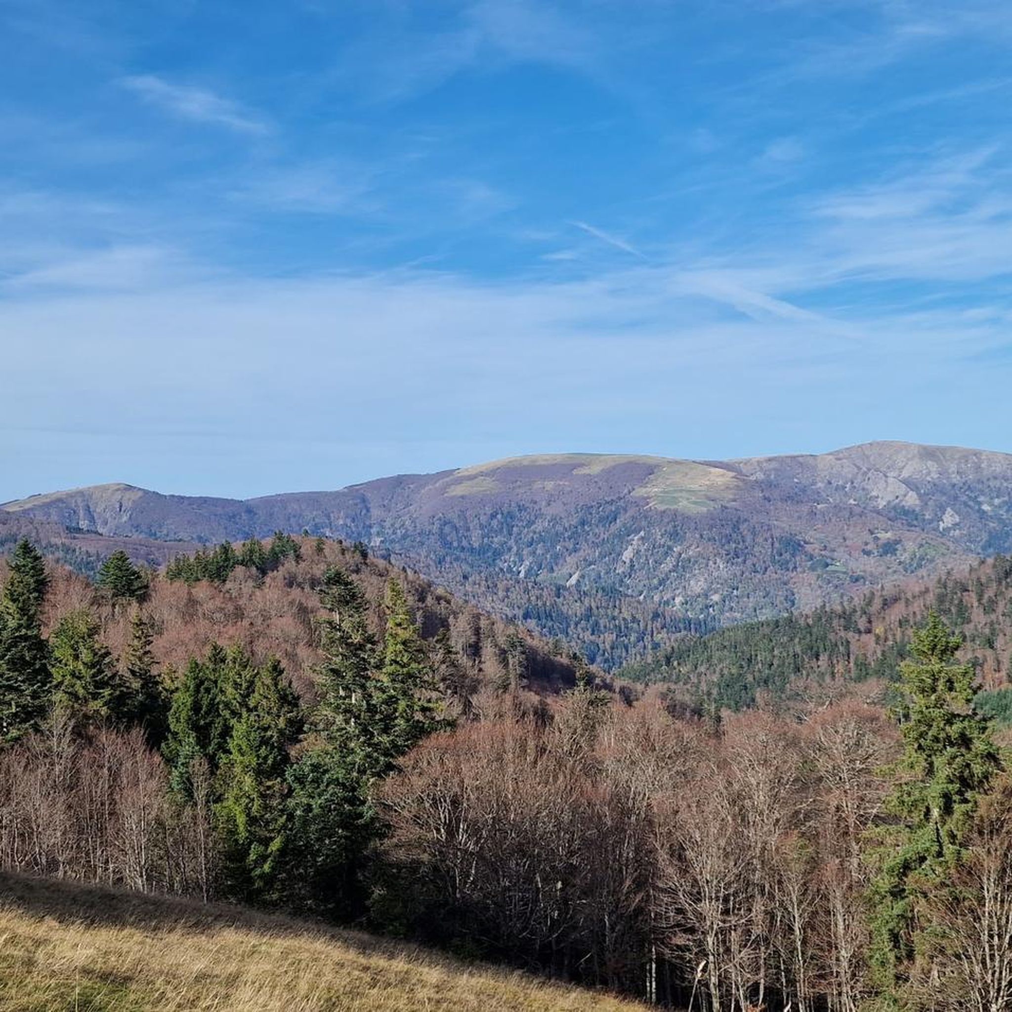
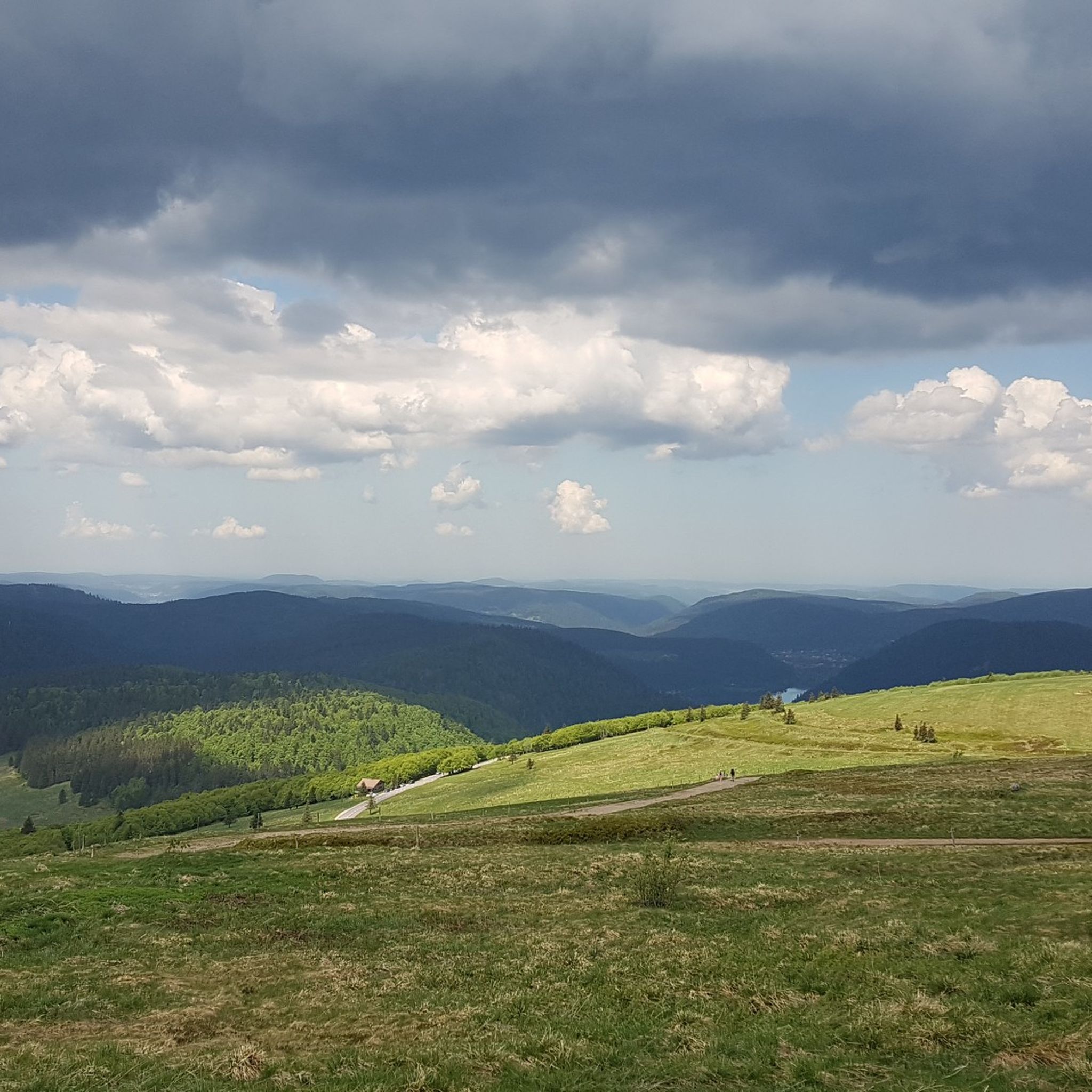
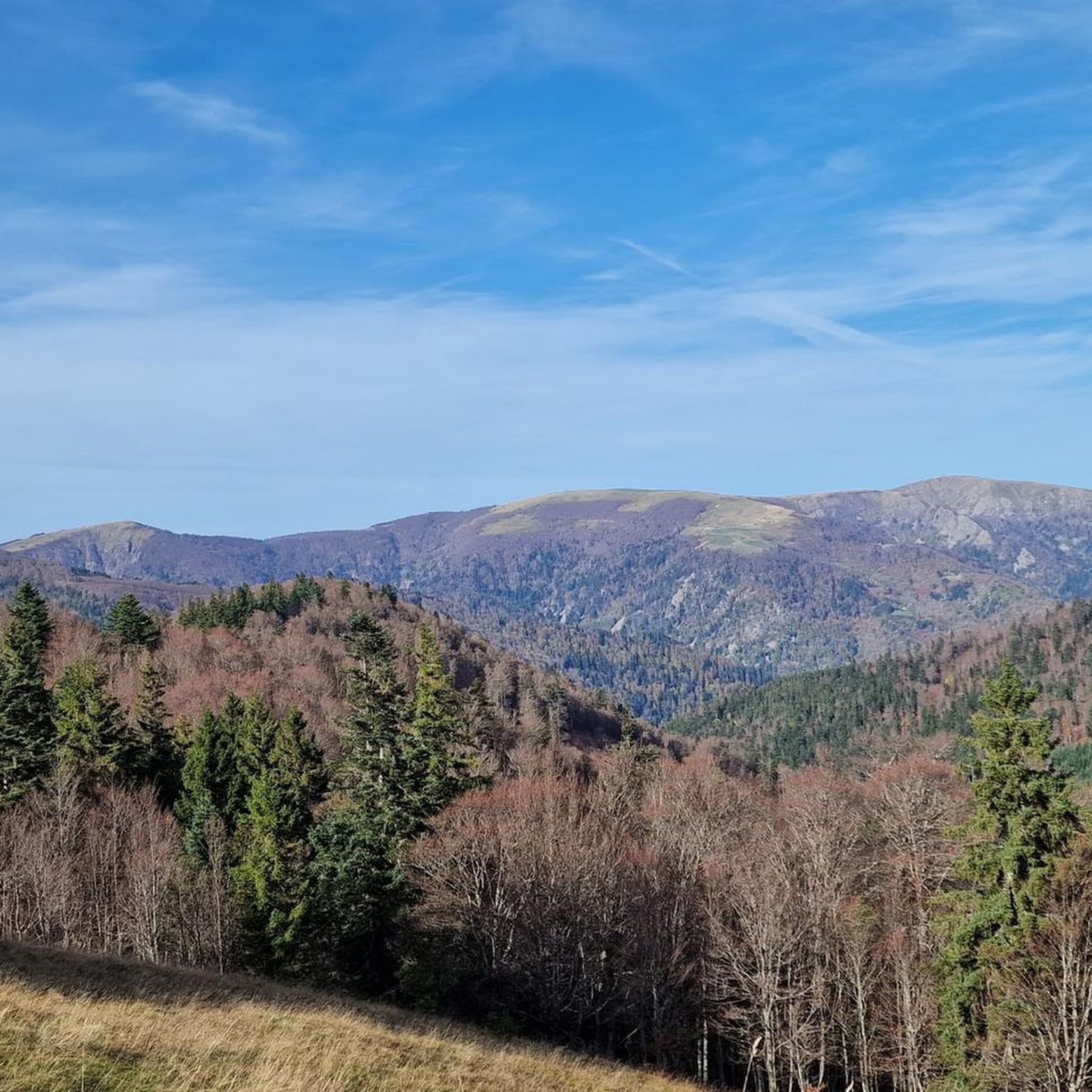
Jogging routes around Mittlach are set within the Vosges Mountains and the Ballons des Vosges Regional Natural Park, offering a diverse landscape for running. The region is characterized by significant forest cover, glacial valleys, and mountain ridges, with elevations ranging from 550m to over 1,300m. This varied terrain provides numerous paths and trails suitable for different running experiences.
Best jogging routes around Mittlach
- The most popular jogging route is Nonselkopf – Lake Lauch loop from Schnepfenried, a 12.0 miles…
Last updated: October 1, 2026
57
runners
28.3km
04:55
1,640m
1,640m
Hard run. Very good fitness required. Sure-footedness, sturdy shoes and alpine experience required.
5.0
(1)
13
runners
Moderate run. Good fitness required. Mostly paved surfaces. Suitable for all skill levels.

9
runners
8.43km
01:05
200m
200m
Hard run. Good fitness required. Sure-footedness, sturdy shoes and alpine experience required.
9
runners
6.74km
00:48
180m
180m
Moderate run. Good fitness required. Mostly paved surfaces. Suitable for all skill levels.
4.0
(1)
7
runners
7.37km
00:48
80m
80m
Moderate run. Good fitness required. Mostly paved surfaces. Suitable for all skill levels.
Get access to more routes and recommendations from other explorers.
Already have an account?
Our route recommendations are based on thousands of hikes, rides, and runs completed by other people on komoot.
Start today with a free account
Your next adventure awaits.

Other adventures around Mittlach

Tips from the Community

De Col van Hahnenbrunnen ligt op een open bergzadel in de Hoge Vogezen, tussen de Markstein‑kam en de Breitfirst. De pas bevindt zich rond 1180 meter hoogte en vormt een overgang tussen de bergweiden (chaumes) van de Route des Crêtes en de beboste hellingen die afdalen naar het dal van de Lauch. Het gebied is genoemd naar oude bergboerderijen (fermes d’altitude) die hier eeuwenlang vee hielden op de hooggelegen weiden.
4
0

The refuge volunteers are very warm. It is possible to eat your packed lunch provided you consume the drinks on sale. Their price is low. In addition, the view is magnificent.
0
0

The Col du Hahnenbrunnen is located on the departmental road D430, the Route des Crêtes, and belongs to the Arrondissement of Thann-Guebwiller. There is also a bus stop there; see more details about seasonally operating buses here: https://www.visit.alsace/de/erlebnisse/erfahrung-kurs-aufs-abenteuer-mit-dem-navette-des-cretes/ There is also the Refuge du Hahnenbrunnen, a simple accommodation option with dormitories. More information about it: https://www.visit.alsace/de/231008596-refuge-du-hahnenbrunnen/
0
0

Pretty little village, ideal for hiking starting and finishing points, as there is a train station.
1
0

From here, you have a truly magnificent view and can reward yourself with a light meal at the summit restaurant. Unfortunately, the hotel at the summit is currently closed. (For about a year.) As of September 2025
0
0

Beautiful 360 degree viewpoint, pleasant to watch with the paragliders taking off right next to it
3
0

Small municipal campground, affordable and reliable. A great starting point for numerous hikes and mountain bike trails.
0
0

Frequently Asked Questions
How many running routes are available around Mittlach?
Mittlach offers a wide selection of running routes, with over 350 trails available for you to explore. These range from easy paths to more challenging mountain runs, catering to various fitness levels.
Are there easy jogging routes suitable for beginners in Mittlach?
Yes, Mittlach has 13 easy running routes perfect for beginners or those looking for a relaxed jog. A good option is the Running loop from Metzeral, a moderate 3.3-mile (5.3 km) trail that takes you through the local countryside.
Can I find family-friendly running trails in the Mittlach area?
For families, the region offers easily accessible paths that are less technical. Consider routes like the Wormsa Trail loop from Mittlach, which is a moderate 3.9-mile (6.3 km) trail, providing a pleasant experience for all skill levels without overly challenging terrain.
Are dogs allowed on the running routes around Mittlach?
Many trails in the Ballons des Vosges Regional Natural Park are dog-friendly, especially those through forests and along less crowded paths. It's always recommended to keep your dog on a leash and check local regulations for specific areas within the park.
What kind of scenery can I expect on the jogging routes in Mittlach?
Jogging in Mittlach offers incredibly diverse scenery. You'll experience the stunning Vosges Mountain ridges, extensive forests covering 70% of the area, and picturesque glacial valleys like the Wormsa. Routes often feature panoramic views, especially from higher elevations, and some pass by serene natural sites like Lake Fischboedle.
Are there any circular running routes near Mittlach?
Yes, many of the running routes in Mittlach are circular, allowing you to start and end at the same point. Popular options include the Nonselkopf – Lake Lauch loop from Schnepfenried, a challenging 12.0-mile (19.4 km) route, or the moderate Wormspel Pass – Hohneck loop from Kastelberg.
What do other runners say about the trails in Mittlach?
The running trails around Mittlach are highly rated by the komoot community, with an average score of 4.5 stars from over 200 reviews. Runners frequently praise the varied terrain, the stunning mountain and forest scenery, and the well-maintained paths that offer a rewarding experience for all levels.
Are there specific routes that offer panoramic views?
Absolutely. Many routes in Mittlach provide exceptional panoramic views, especially those that ascend into the Vosges Mountains. The Hohneck – View from the Hohneck loop from Hohneck offers spectacular vistas towards the Hohneck peak and beyond, while the Nonselkopf – Lake Lauch loop from Schnepfenried also provides expansive views around Lake Lauch.
What are some points of interest or attractions I can see while jogging?
While jogging, you might encounter various points of interest. The region is known for its traditional farm inns, such as Ferme Auberge du Frankenthal or Kahlenwasen Farm Inn, which can be great spots for a break. You'll also pass through areas with historical landmarks related to World War I and natural features like the picturesque Lake Fischboedle.
Is Mittlach a good destination for winter running?
Mittlach, with its significant forest cover, can offer beautiful winter running experiences, especially on lower-altitude paths. However, higher mountain trails may become challenging due to snow and ice. It's advisable to check local conditions and trail reports before heading out in winter and to wear appropriate gear.
Are there running routes with cafes or places to rest nearby?
Yes, some routes, particularly those passing through or near villages or traditional farm inns (Ferme Auberges), offer opportunities for refreshments. Highlights like Ferme Auberge du Frankenthal or Kahlenwasen Farm Inn are examples of places where you might find a cafe or a place to rest along your run.
Where can I find parking for the running trails in Mittlach?
Parking is generally available at the starting points of many popular trails and in the villages themselves. For specific routes, it's often best to check the route details on komoot, as they usually indicate suitable parking areas near the trailhead.
Most popular routes around Mittlach
Most popular attractions around Mittlach

Get inspired with the komoot mobile app


Explore more
Browse the best Running Trails & Routes in other regions.
