The best running trails around Le Puid
4.5
(29)
1,171
runners
63
runs
Jogging routes around Le Puid are set within the Vosges department of northeastern France, characterized by a mid-mountain landscape. The region features expansive pine forests, tranquil ponds, and distinctive peat bogs, offering varied terrain for running. Numerous lakes and reservoirs, such as Lac de la Maix and Lac de la Plaine, provide scenic backdrops for routes. The area is part of the Ballons des Vosges Regional Nature Park, known for its extensive forests and varied topography, from gentle slopes to…
Last updated: July 5, 2026
11
runners
7.99km
01:04
250m
260m
Moderate run. Good fitness required. Mostly paved surfaces. Suitable for all skill levels.
14
runners
25.4km
03:11
790m
790m
Hard run. Very good fitness required. Sure-footedness, sturdy shoes and alpine experience required.

Sign up for free
9
runners
7.00km
00:55
230m
230m
Hard run. Good fitness required. Sure-footedness, sturdy shoes and alpine experience required.
12
runners
9.37km
01:07
160m
160m
Moderate run. Good fitness required. Mostly paved surfaces. Suitable for all skill levels.
5.0
(1)
9
runners
11.4km
01:11
60m
60m
Moderate run. Good fitness required. Mostly paved surfaces. Suitable for all skill levels.
Get access to more routes and recommendations from other explorers.
Sign up for free
Already have an account?
Our route recommendations are based on thousands of hikes, rides, and runs completed by other people on komoot.
Start today with a free account
Your next adventure awaits.
Login or Signup

Tips from the Community

La Fontenelle (hill 627) forms a remarkable “balcony” overlooking the Rabodeau and Hure valleys. This strategic location, initially held by the French, was captured by the Germans on 22 June 1915. After a perfectly coordinated attack, the French recaptured the site on 8 and 9 July 1915 and held it until the end of the war. La Fontenelle was also the scene of a short mine warfare.
1
0


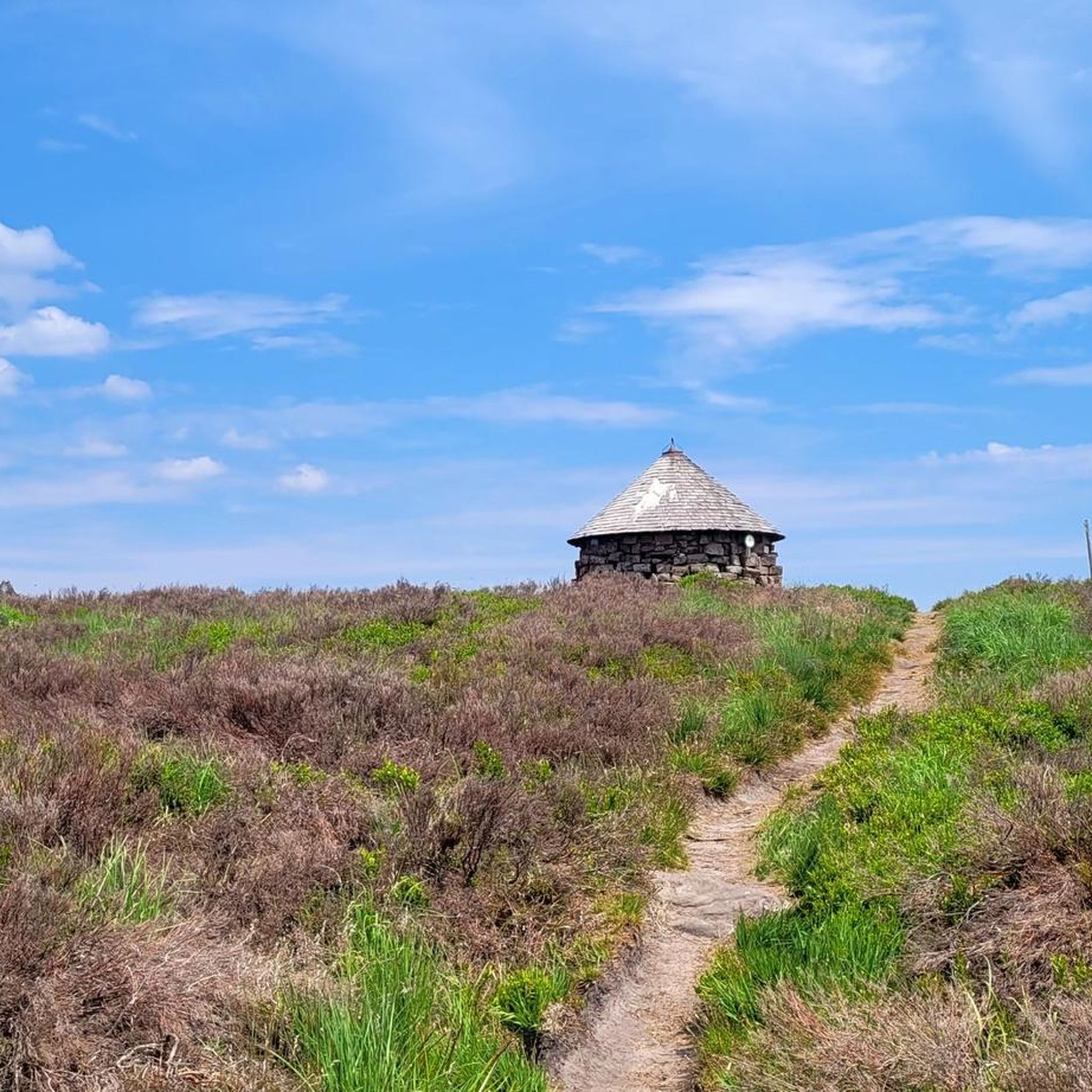
This shelter served as a protected rest room for the German soldiers here at the front during the First World War.
1
0
A machine gun position on the former German front line in World War I.
1
0
There was probably once a fortification here. Today it is a wonderful viewing rock on the western edge of the hiking trail (approx. 100 m dead-end path there).
2
1
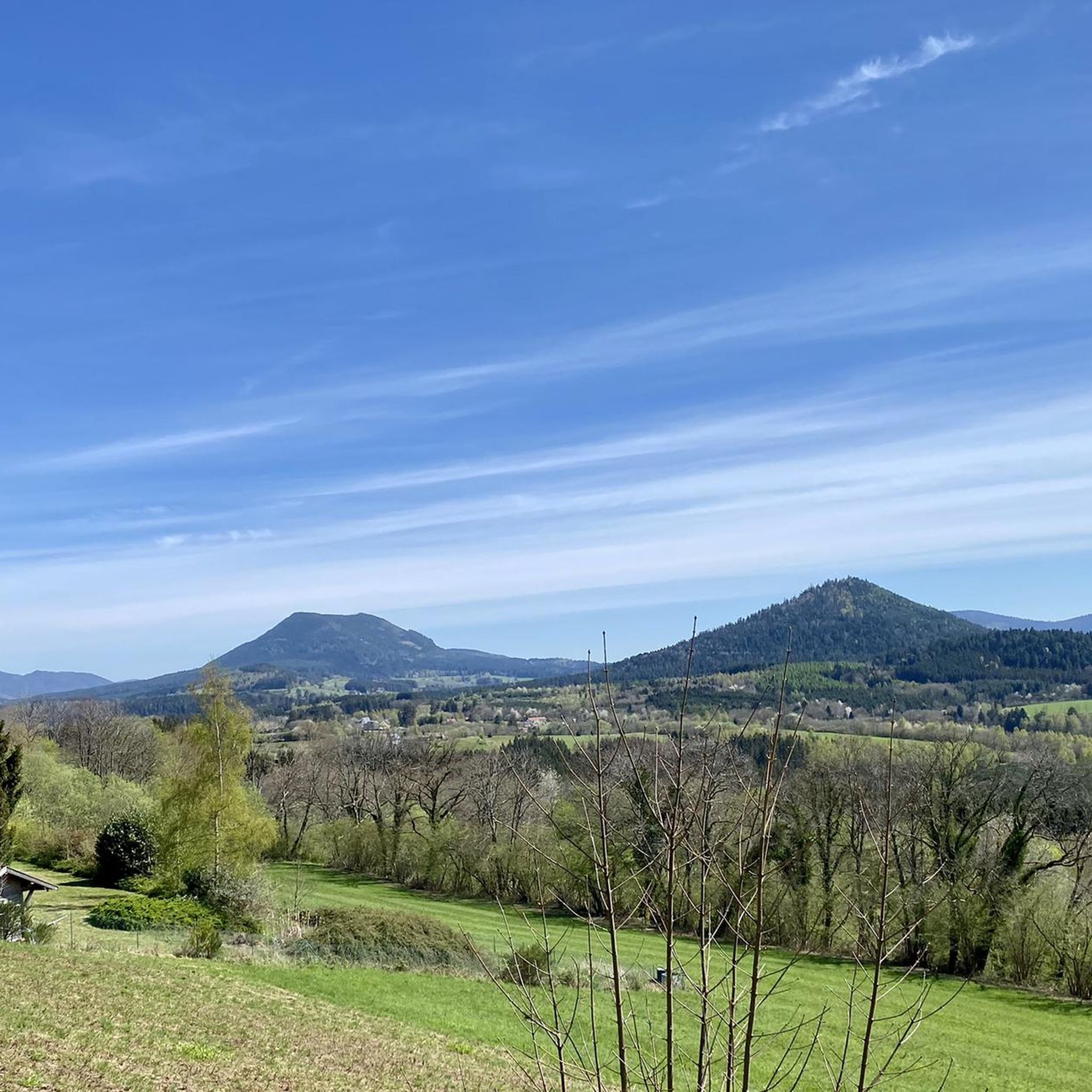
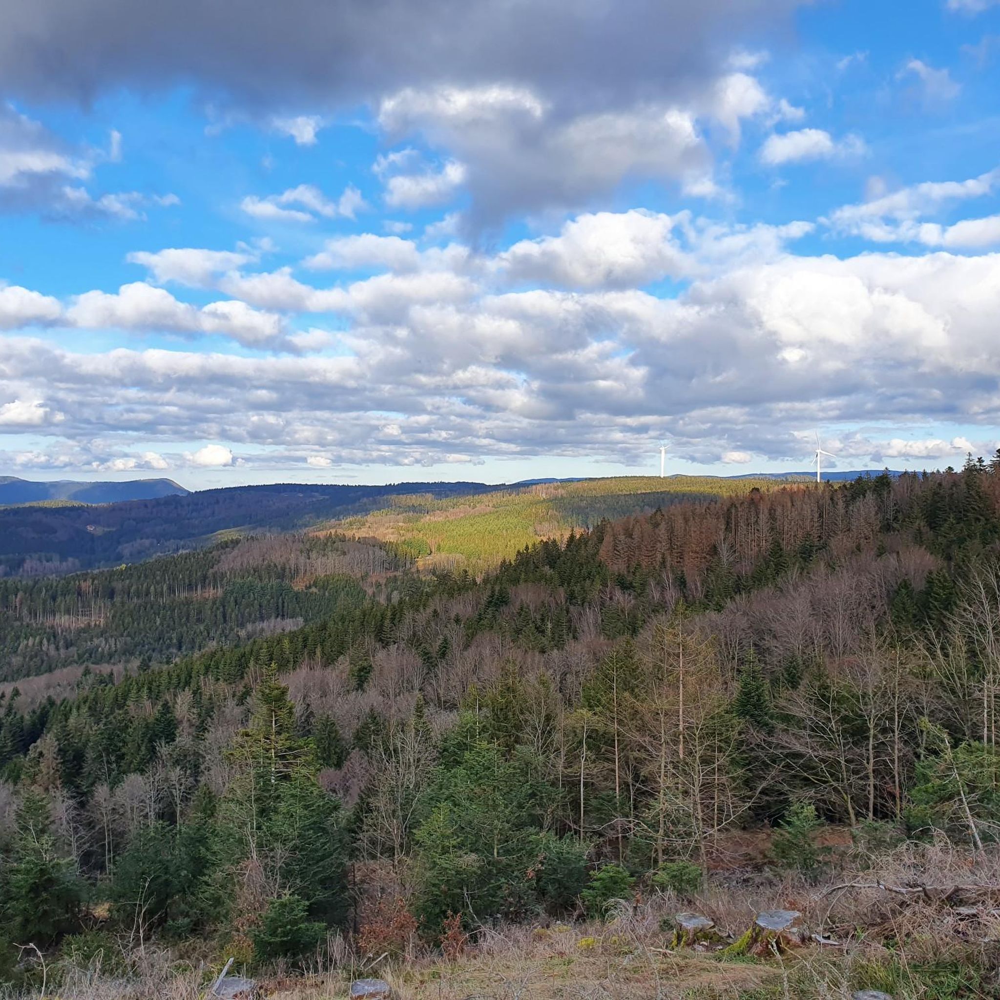
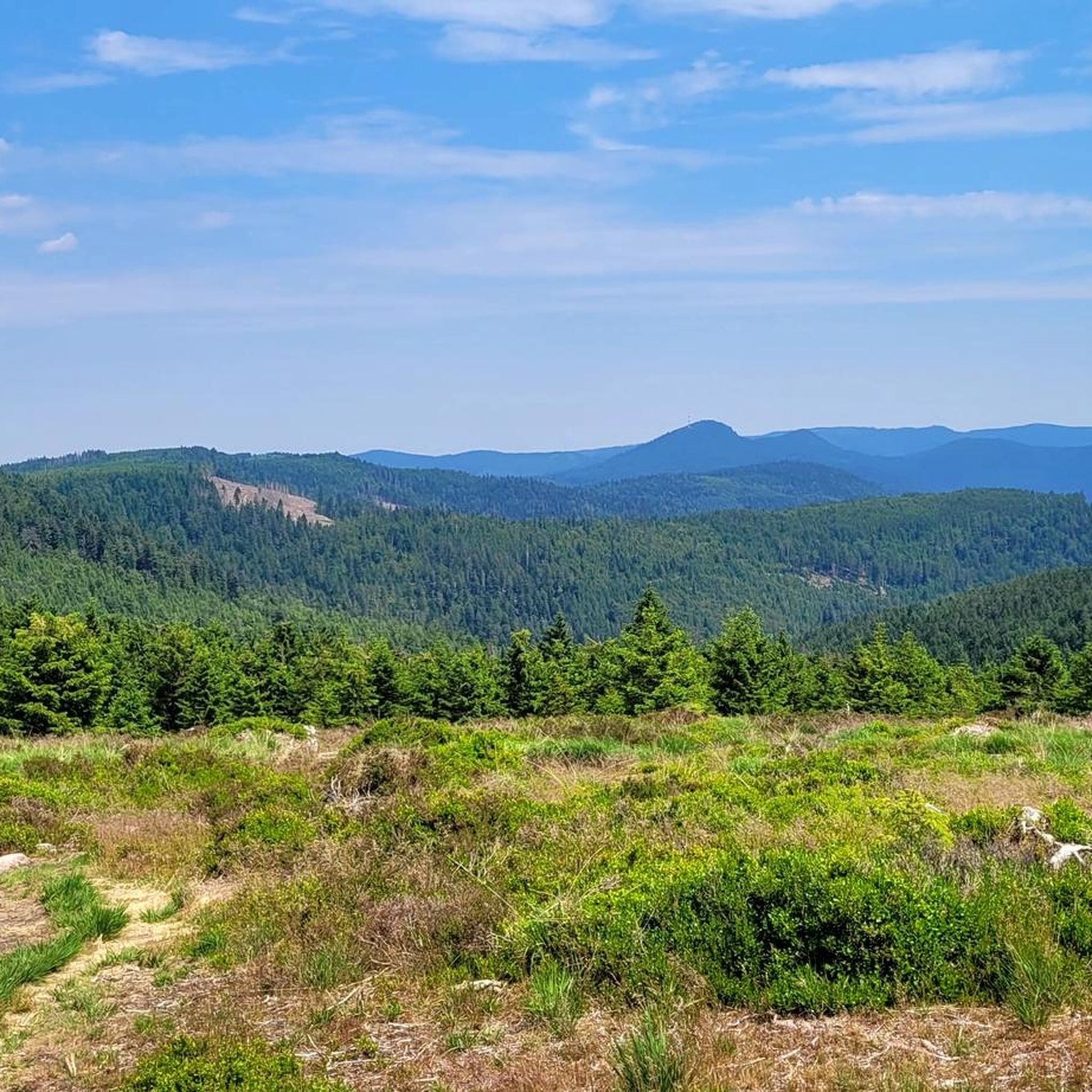
At this viewpoint stands a steel observation capsule from the First World War. It's hard to believe that brutal trench warfare took place here in 1914/15. Today, the landscape offers a peaceful view of meadows and forests.
4
0

Nice city camping, not entered on the card.
0
0

The former capital of the independent territory of Salm-Salm is a rather sleepy little town. A beautiful bike lane ("voie verte") along a former train track connects it to Moyenmoutiers and Étival-Clairefontaine.
2
0
Frequently Asked Questions
What kind of terrain and difficulty can I expect on running routes around Le Puid?
The running routes around Le Puid offer a varied mid-mountain landscape, characterized by expansive pine forests, tranquil ponds, and distinctive peat bogs. You'll find a mix of gentle slopes and more challenging ascents. Out of 65 available routes, there is 1 easy route, 25 moderate routes, and 39 difficult routes, catering to various fitness levels.
Are there any family-friendly running trails in the Le Puid area?
Yes, while many routes offer a challenge, there are options suitable for families. Look for routes categorized as 'easy' or 'moderate' which often feature flatter paths around lakes or through less strenuous forest sections. The region's tranquil ponds and forests provide a pleasant environment for a family jog.
Can I bring my dog on the running trails near Le Puid?
The natural landscapes around Le Puid, including its extensive forests and lake areas, are generally welcoming for dogs. However, it's always recommended to keep your dog on a leash, especially in protected areas like the Ballons des Vosges Regional Nature Park, and to respect local signage regarding pet regulations. Always carry water for your dog and clean up after them.
What are some scenic highlights or landmarks I might encounter while jogging in Le Puid?
The region is rich in natural beauty and historical sites. You might jog past the serene Lac de la Maix, or enjoy views from elevated points like The Hanging Cat, which offers panoramic vistas. The ruins of Salm Castle also provide a historical landmark along some routes.
Are there circular running routes available around Le Puid?
Yes, many of the running routes in the Le Puid area are designed as loops, allowing you to start and finish at the same point. For example, the Côte du Mont loop from Le Saulcy is a moderate 8.0 km path that offers diverse scenery in a circular format.
What do other runners enjoy most about jogging in Le Puid?
The running experience in Le Puid is highly rated by the komoot community, with an average score of 4.4 stars from over 10 reviews. Runners often praise the serene lakes, extensive forests, and the mountainous backdrop that provides both gentle paths and more vigorous routes amidst inspiring natural beauty.
How long are the running trails around Le Puid on average?
The running trails around Le Puid vary significantly in length. You can find shorter routes like the Running loop from Ban-de-Sapt at 6.7 km, to much longer and more challenging options such as the High Rock – Félix Pupi Memorial loop from La Petite-Raon, which spans 25.2 km.
Is public transport available to access running trails in Le Puid?
Le Puid is a small commune, and while public transport options might be limited directly to trailheads, regional bus services connect to nearby towns. It's advisable to check local transport schedules in advance, as many routes are best accessed by car, especially those deeper within the Ballons des Vosges Regional Nature Park.
Where can I find parking near the running routes in Le Puid?
Parking is generally available in the villages and near popular trail starting points around Le Puid. For specific routes, it's often possible to find designated parking areas or roadside spots. Always ensure you park responsibly and do not obstruct local access or private property.
What is the best time of year to go running in Le Puid?
The Vosges region, where Le Puid is located, offers beautiful running conditions throughout much of the year. Spring and autumn provide pleasant temperatures and stunning natural colors. Summer is also great, especially in the shaded forests. Winter running is possible, but be prepared for colder temperatures and potential snow or ice, particularly on higher elevations.
Are there any easy running routes for beginners in Le Puid?
Yes, while many routes have moderate to difficult ratings, there are options suitable for beginners. Look for routes with minimal elevation gain, often found around the tranquil lakes like Lac de la Maix, which provide relatively flat paths. These are ideal for those new to trail running or looking for a more relaxed jog.
Are there any specific regulations or permits needed for running in the Vosges region?
Generally, no specific permits are required for running on public trails in the Vosges region, including around Le Puid. However, as the area is part of the Ballons des Vosges Regional Nature Park, it's important to respect park regulations, stay on marked paths, and protect the natural environment. For more information on the region's nature, you can visit Tourisme Remiremont-Plombières.
Most popular attractions around Le Puid

Get inspired with the komoot mobile app


Explore more
Browse the best Running Trails & Routes in other regions.
