The best walks and hikes around Saint-Quentin-Sur-Isère
4.5
(1006)
8,308
hikers
385
hikes
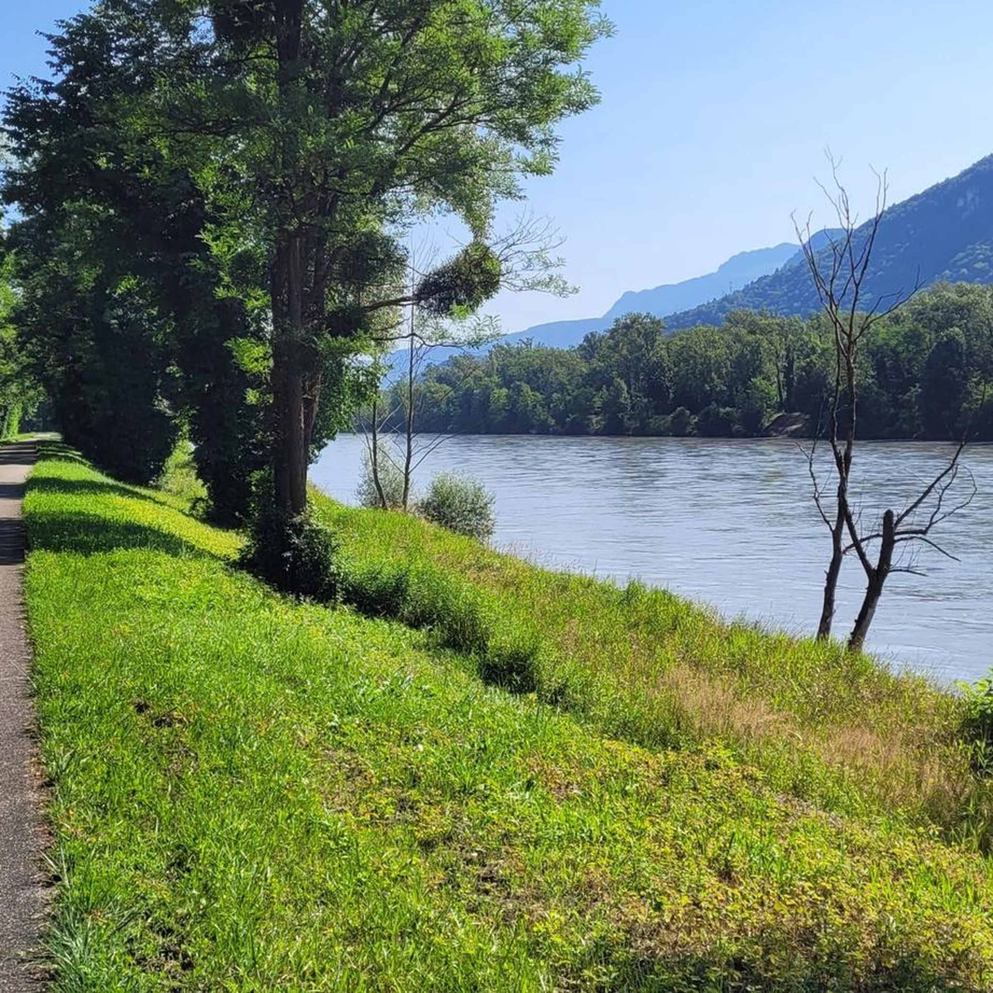
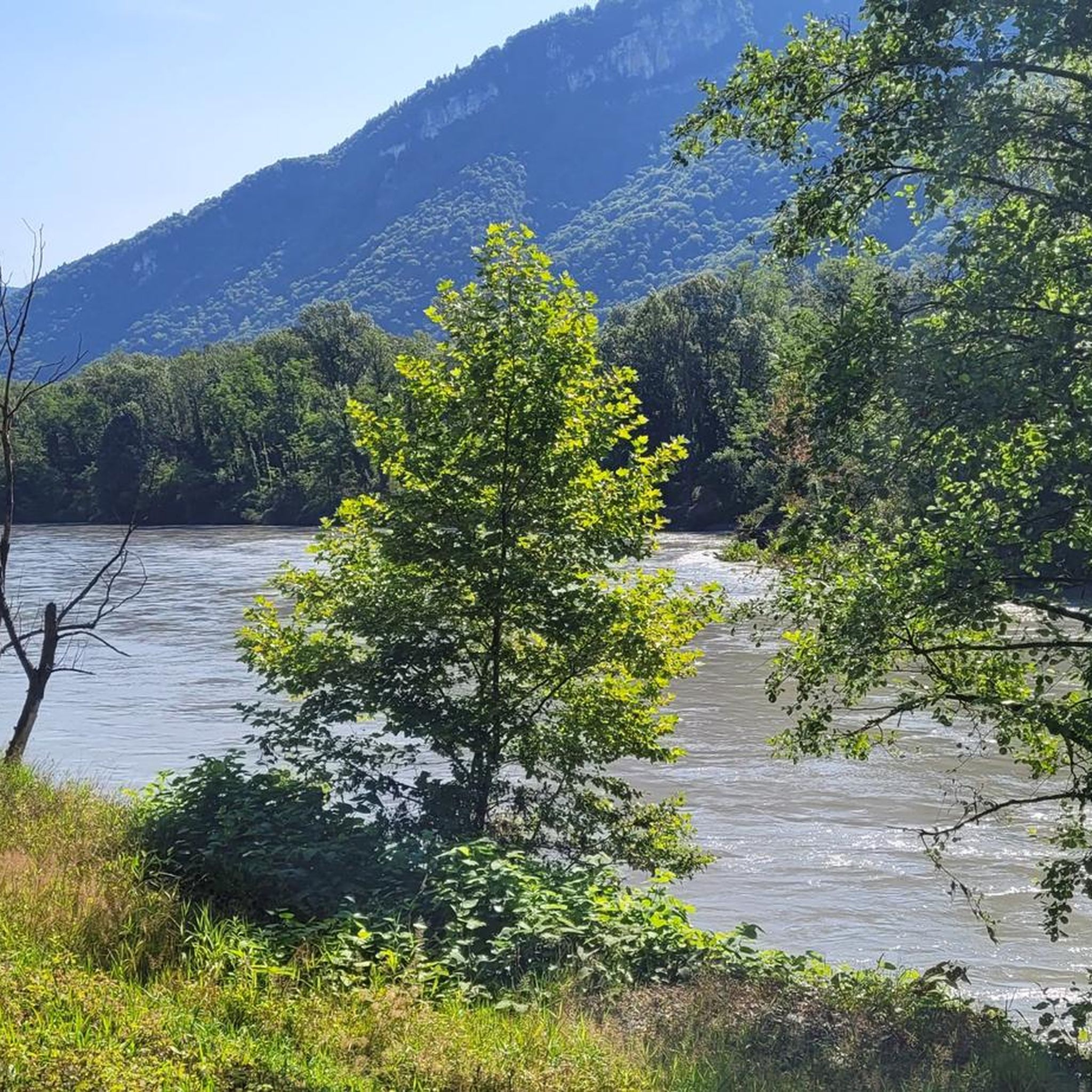
Hiking around Saint-Quentin-Sur-Isère offers diverse landscapes, situated near the Vercors Massif and the Chartreuse Regional Nature Park. The region features pre-Alpine terrain, including deep valleys, limestone cliffs, and dense forests. The Isère River and its valley also provide opportunities for walks along the water.
Best hiking trails around Saint-Quentin-Sur-Isère
- The most popular hiking route is La dent de Moirans – loop in the Vercors regional natural park, a 6.8 miles (10.9 km) trail that takes 3 hours 15 minutes…
Last updated: July 15, 2026
4.7
(58)
309
hikers
10.9km
03:16
330m
330m
Moderate hike. Good fitness required. Easily-accessible paths. Suitable for all skill levels.
5.0
(5)
68
hikers
13.9km
06:09
870m
870m
Hard hike. Very good fitness required. Sure-footedness, sturdy shoes and alpine experience required.

Sign up for free
4.4
(12)
65
hikers
7.90km
02:49
450m
450m
Moderate hike. Good fitness required. Easily-accessible paths. Suitable for all skill levels.
4.4
(10)
99
hikers
10.5km
03:08
320m
320m
Moderate hike. Good fitness required. Easily-accessible paths. Suitable for all skill levels.
4.5
(6)
51
hikers
4.37km
01:44
340m
340m
Moderate hike. Good fitness required. Easily-accessible paths. Suitable for all skill levels.
Get access to more routes and recommendations from other explorers.
Sign up for free
Already have an account?
Our route recommendations are based on thousands of hikes, rides, and runs completed by other people on komoot.
Start today with a free account
Your next adventure awaits.
Login or Signup

Tips from the Community

Apparently, the Saint-Ours Chapel is not really one (it is rather a simple building without religious reference), and was built by a former resident of the commune of Veurey-Voroize, by the name of "Mr Dupuy de Bordes". @ to be continued...
0
0
Coordinates: 45.2930556 5.6077778: Unusual this old "cable car", there is an old quarry below...surely related. Mystery...
0
0

The camp established at this location, the “C3” was created in the vicinity of Autrans-Méaudre in Vercor in March 1943 to cope with the influx of those refusing to participate in the S.T.O. (Compulsory Work Service). The camp, made up of an average of thirty young men, moved many times for security reasons. It was established here from June 1943 until mid-November. The precariousness of the hut exposed to the wind led the resistance fighters to take up their winter quarters at the Gève refuge during the winter of 1943/1944. The Carteaux camp was still used from mid-May 1944 until the Vercors fighting in June and July 1944 and the order to disperse the resistance fighters given on 23 July. Today (summer 2023), thanks to the work of enthusiasts, this forest cabin has been rebuilt as faithfully as possible, on the same site. It remains open to all, so please respect these places.
1
0

Hanging on the edge of a cliff, the path offers spectacular views of the valley and the walls of the Vercors massif.
3
0
Culminating at an altitude of 1,554 meters on the northern ridge of the Vercors massif, the Bec de l'Orient offers magnificent views of Isère and the Chartreuse massif.
1
0
Located on the western ridge of the Vercors massif, this summit culminates at an altitude of 1,609 meters. While overlooking the Fessole meadow, it offers superb views of the Isère valley and the Chambarand.
1
0


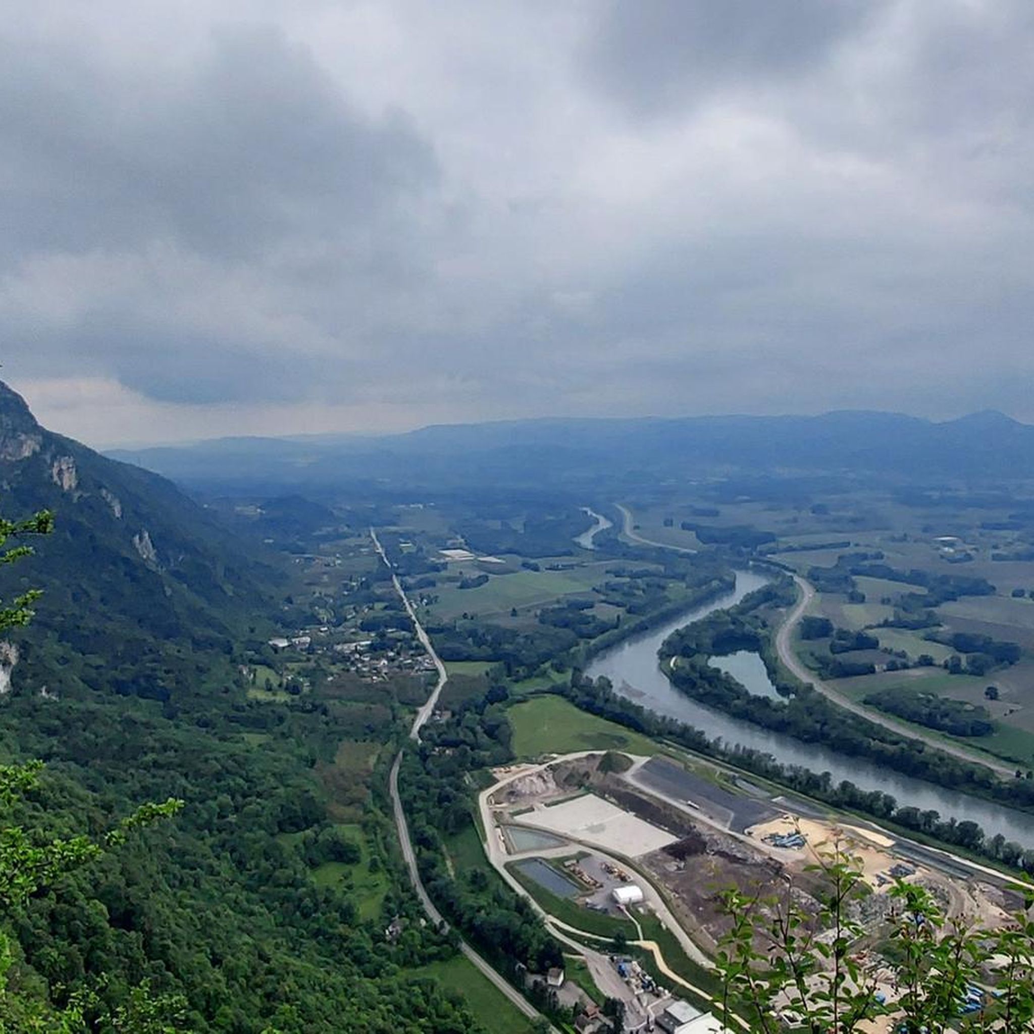
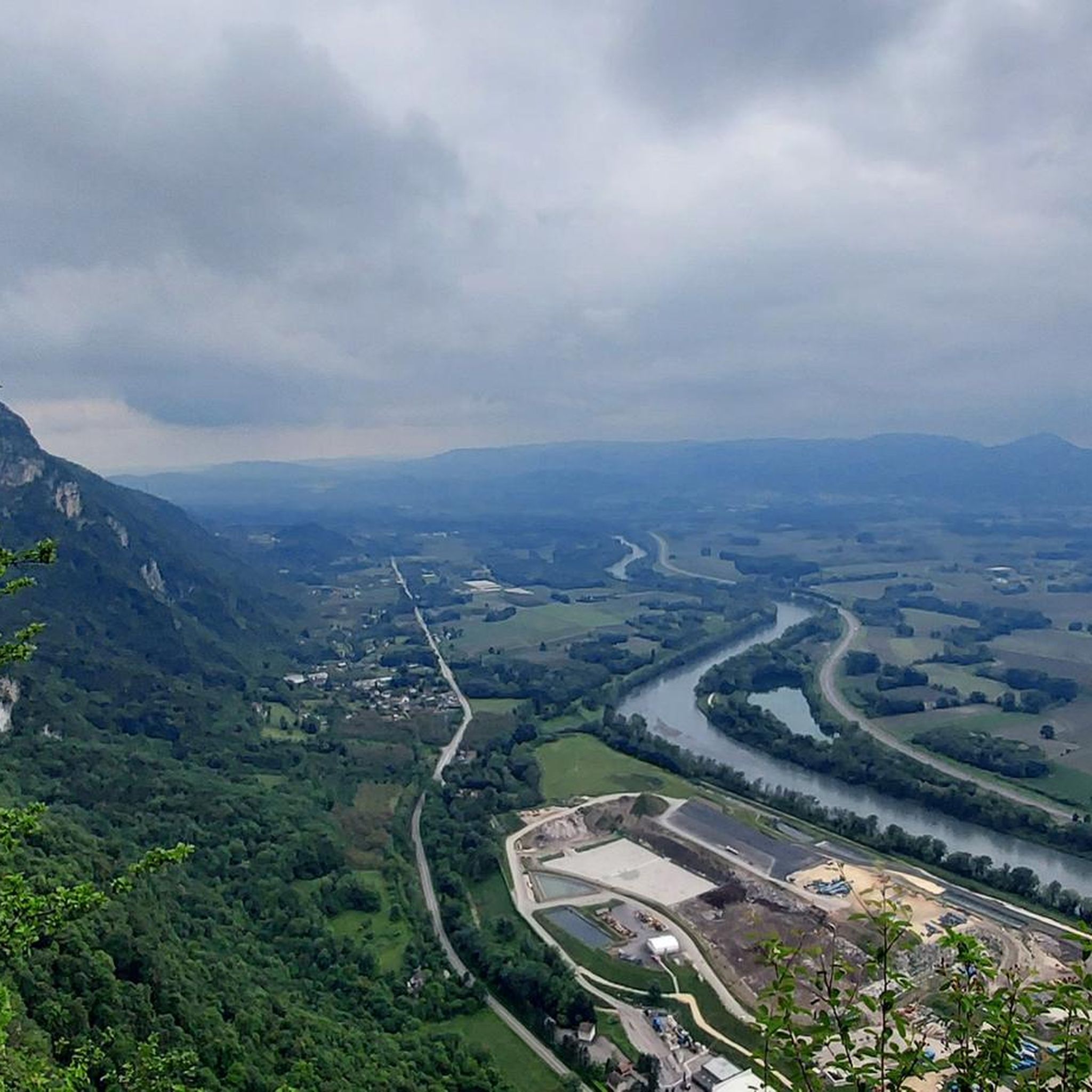
At 988m and with sharp vertigneous cliffs the Dent de Moirans is a summit from which you get stunning views of the plains and the Isère below.
3
0
Frequently Asked Questions
How many hiking trails are available around Saint-Quentin-Sur-Isère?
There are over 340 hiking trails in and around Saint-Quentin-Sur-Isère. This includes a wide range of options, with 81 easy routes, 190 moderate routes, and 74 difficult trails, catering to all experience levels.
Are there easy hiking trails suitable for beginners or families?
Yes, Saint-Quentin-Sur-Isère offers over 80 easy hiking routes. Many of these are pleasant forest walks or paths along the Isère river. The Saint-Ours Chapel – Telepherique loop from Isère is a moderate 7.9 km trail that offers varied terrain and views, often completed in under 3 hours, making it a good option for active families.
What are some notable natural features or viewpoints to discover while hiking?
The region is rich in natural beauty. You can find stunning panoramic views from the La Molière Alpine Pasture, which offers superb vistas of the Alps. The Pas de la Clé also provides spectacular views of the valley and the Vercors massif walls. The unique Saint-Ours Chapel, built into the cliffside, offers an impressive bird's-eye view of the Isère valley.
Are there any circular hiking routes in the area?
Yes, many trails around Saint-Quentin-Sur-Isère are circular. For example, the popular La dent de Moirans – loop in the Vercors regional natural park is a moderate 10.9 km circular route. Another option is the Pas de la Clé – La Buffe Summit loop from Montaud, a challenging 9.8 km loop with significant elevation gain and rewarding views.
What is the best time of year to go hiking in Saint-Quentin-Sur-Isère?
Saint-Quentin-Sur-Isère offers diverse hiking experiences throughout the year. Spring and autumn provide pleasant temperatures and vibrant colors, especially in the forests. Summer is ideal for higher altitude trails in the Vercors and Chartreuse massifs. Even winter offers opportunities for snowshoeing or lower-elevation walks, though conditions can vary.
Can I bring my dog on the hiking trails?
Many trails in the region are dog-friendly, especially those in the lower valleys and forests. However, specific regulations may apply within the Vercors and Chartreuse Regional Nature Parks, particularly concerning protected wildlife areas or during certain seasons. It's always advisable to keep dogs on a leash and check local signage for any restrictions before heading out.
Are there any challenging hikes for experienced trekkers?
Absolutely. For experienced hikers, the region offers several demanding routes. The Pas de la Clé – Bec de l'Orient loop from Montaud is a difficult 14.2 km path featuring significant elevation gain and panoramic views of the Vercors massif. The ascent to Mont Granier is also a well-known challenging endeavor for those seeking a strenuous climb.
Where can I find information about parking for hiking trails?
Parking availability varies by trailhead. Many popular starting points for trails, especially those leading into the Vercors or Chartreuse parks, will have designated parking areas. For specific routes, it's recommended to check the route details on komoot, as users often provide information about parking in their tour descriptions or comments.
What do other hikers enjoy most about hiking in Saint-Quentin-Sur-Isère?
The area is highly rated by the komoot community, with an average score of 4.6 stars from over 800 reviews. Hikers often praise the diverse landscapes, from the deep valleys of the Isère to the limestone cliffs of the Vercors, and the well-maintained trails that offer options for all abilities. The stunning panoramic views from various points are also frequently highlighted.
Are there any trails that feature water elements like lakes or gorges?
Yes, the region offers trails with beautiful water features. The Isère River and its valley provide numerous opportunities for walks along the water. A few kilometers northeast, the magnificent Lac de Paladru offers an 8 km loop trail. The Gorges du Furon are also a notable natural attraction in the vicinity, providing a unique landscape to explore.
Can I access hiking trails using public transport?
While some trailheads might be accessible via local bus services, especially those closer to larger towns, many of the more remote or mountain-based trails may require private transport. It's advisable to research specific public transport routes and schedules in advance if you plan to rely on them for trailhead access.
Most popular routes around Saint-Quentin-Sur-Isère
Most popular attractions around Saint-Quentin-Sur-Isère

Get inspired with the komoot mobile app


Explore more
Browse the best Hikes in other regions.
