The best running trails around Saint-Stail
4.4
(24)
864
runners
92
runs
Jogging routes around Saint-Stail traverse a landscape characterized by rolling hills and dense woodlands, offering varied terrain for runners. The region features moderate ascents and descents, with routes often leading through forested areas and past local landmarks. Runners can expect a mix of natural paths and some paved sections, providing diverse surfaces for different preferences.
Best jogging routes around Saint-Stail
- The most popular jogging route is Le Climont, a 9.3 miles (14.9 km) trail that takes 1 hour 59…
Last updated: July 5, 2026
6
runners
14.9km
01:59
610m
610m
Hard run. Very good fitness required. Sure-footedness, sturdy shoes and alpine experience required.
21
runners
9.25km
01:02
200m
200m
Moderate run. Good fitness required. Mostly paved surfaces. Suitable for all skill levels.

Sign up for free
10
runners
8.06km
00:51
110m
110m
Moderate run. Good fitness required. Mostly paved surfaces. Suitable for all skill levels.
11
runners
7.99km
01:04
250m
260m
Moderate run. Good fitness required. Mostly paved surfaces. Suitable for all skill levels.
11
runners
16.3km
01:56
360m
360m
Hard run. Very good fitness required. Sure-footedness, sturdy shoes and alpine experience required.
Get access to more routes and recommendations from other explorers.
Sign up for free
Already have an account?
Our route recommendations are based on thousands of hikes, rides, and runs completed by other people on komoot.
Start today with a free account
Your next adventure awaits.
Login or Signup

Tips from the Community

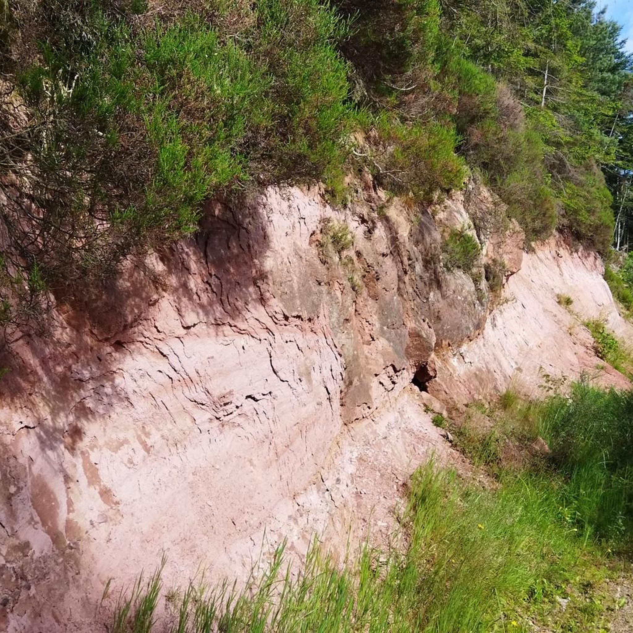
Uphill or downhill, you won't have to focus too much on your feet. This wide dirt road allows you to practice running ascents or rolling descents. You can even allow yourself to look up to appreciate the landscape.
0
0
A tough and technical climb, with slopes that can exceed 25% in some parts. When the forest thins out, the adrenaline takes over and sublimates the landscapes of the valley.
1
0
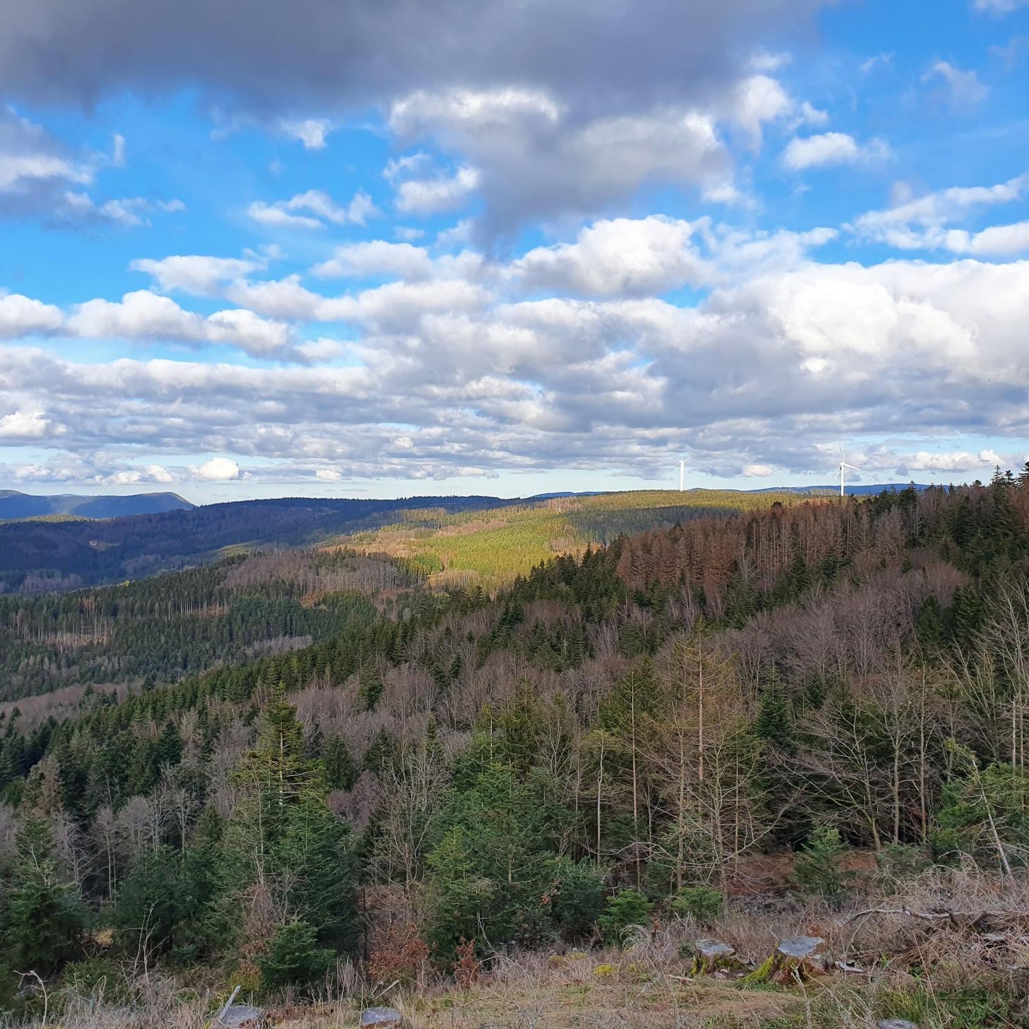
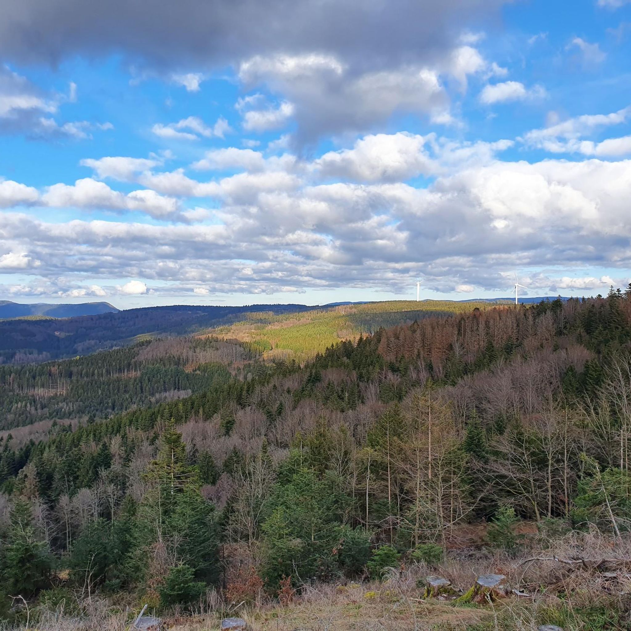
Le Climont is perfect for training, with its technical north face and rolling south face. Depending on what you want to work on, go up one and down the other. Either way, you'll be rewarded with the great views from its tower.
0
0

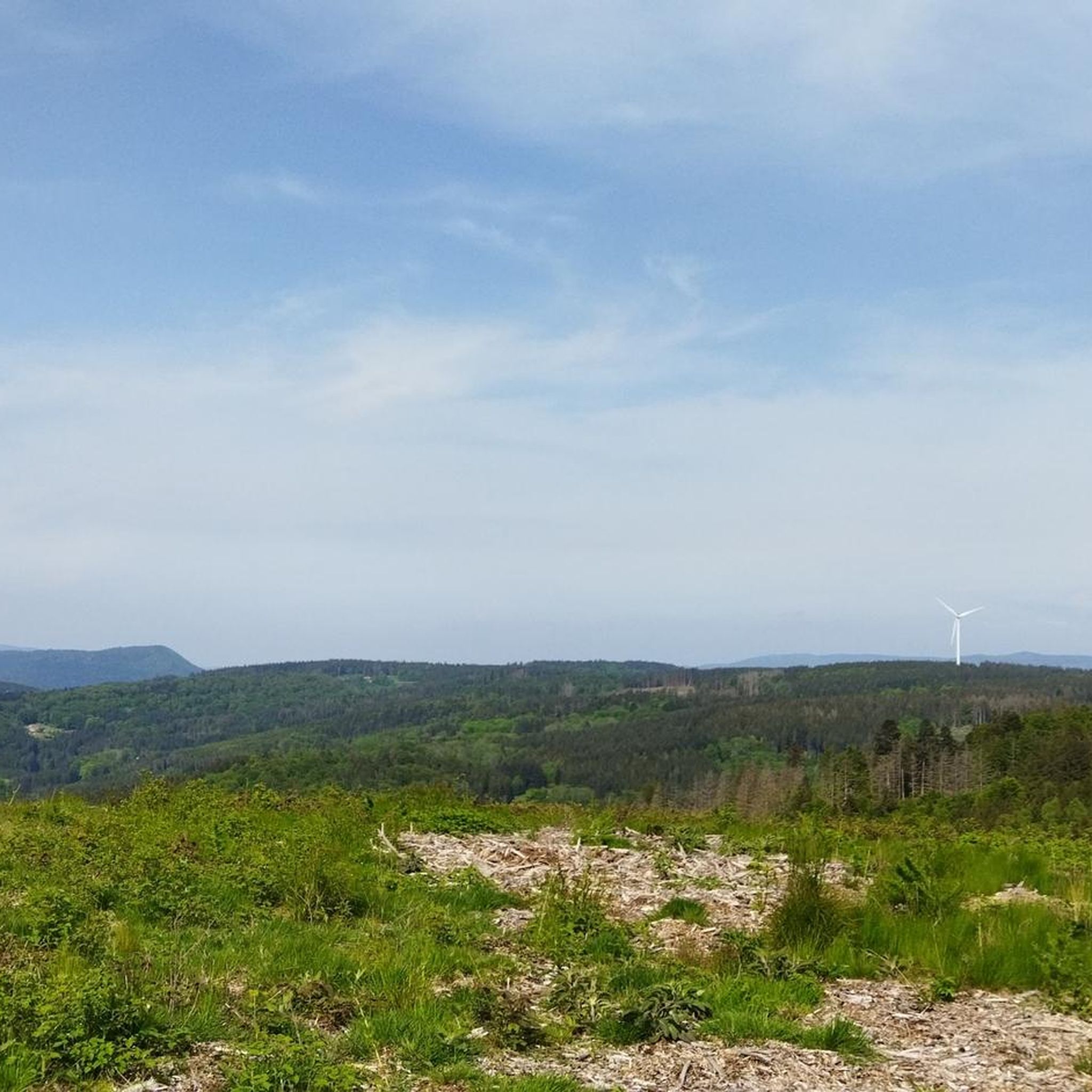
Very nice view of the valley and the village of Plaine
0
0
Frequently Asked Questions
How many running routes are available in Saint-Stail?
There are over 85 running routes around Saint-Stail, offering a wide variety of options for different skill levels and preferences. The region is known for its diverse terrain, including rolling hills and dense woodlands.
Are there easy jogging routes for beginners in Saint-Stail?
Yes, Saint-Stail offers several routes suitable for beginners. There are 3 easy routes, alongside 41 moderate and 41 difficult options. These easier paths typically feature less elevation gain and more gentle terrain, perfect for those new to running or looking for a relaxed jog.
What is the typical length and duration of running trails in Saint-Stail?
Running trails in Saint-Stail vary significantly in length and duration. For example, the Running loop from Saales is a moderate 5.0 miles (8.1 km) path, taking around 51 minutes. More challenging routes, like Le Climont, stretch to 9.3 miles (14.9 km) and can take nearly 2 hours to complete due to significant elevation changes.
Are there any circular running routes in Saint-Stail?
Yes, many of the running routes in Saint-Stail are circular, allowing you to start and finish at the same point. A popular example is the Côte du Mont loop from Le Saulcy, which is 5.0 miles (8.0 km) long and takes you through varied landscapes.
What kind of terrain can I expect on the jogging routes around Saint-Stail?
The terrain around Saint-Stail is characterized by rolling hills and dense woodlands. Runners can expect a mix of natural paths, forest trails, and some paved sections. Routes often feature moderate ascents and descents, providing a varied and engaging running experience.
What do other runners say about the trails in Saint-Stail?
The running routes in Saint-Stail are highly rated by the komoot community, with an average score of 4.4 stars from over 16 reviews. Runners often praise the scenic loops, the challenge of the moderate hills, and the beauty of the forested paths.
Are there any running routes that offer great views in Saint-Stail?
Many routes in Saint-Stail provide excellent views, especially those that traverse higher elevations. The Stone Cross at Carrefour – View of Mont Climont loop from Saâles, for instance, offers panoramic vistas, including views of Mont Climont, as it winds through its 10.1-mile (16.3 km) course.
What is the best time of year for running in Saint-Stail?
Spring and autumn are generally ideal for running in Saint-Stail, offering pleasant temperatures and vibrant natural scenery. Spring brings blooming flora, while autumn showcases beautiful fall foliage. Summer can also be enjoyable, especially in the cooler mornings or evenings, though some routes may be more exposed to sun.
Are there any family-friendly running options in Saint-Stail?
While many routes involve moderate hills, some of the easier and shorter trails can be suitable for families looking for a gentle jog or walk. The region's forested paths offer a pleasant environment for outdoor activity. Always check the route difficulty and length to ensure it matches your family's capabilities.
Can I bring my dog on the running trails in Saint-Stail?
Many trails in Saint-Stail are dog-friendly, especially those through woodlands and natural paths. It's always recommended to keep your dog on a leash, especially in areas with wildlife or near livestock, and to check local regulations for specific routes or protected areas.
What should I wear for jogging in Saint-Stail?
Given the varied terrain and potential for moderate ascents and descents, it's advisable to wear appropriate running shoes with good grip. Layered clothing is recommended to adapt to changing weather conditions, especially during spring and autumn. Don't forget water, especially for longer routes.
Are there any specific landmarks or points of interest along the running routes?
While there are no specific highlights listed, some route names suggest points of interest. For example, the Children's Rock – Wild boar fountain loop from Saâles indicates natural features and local landmarks that runners can discover along their path.
Most popular routes around Saint-Stail
Most popular attractions around Saint-Stail

Get inspired with the komoot mobile app


Explore more
Browse the best Running Trails & Routes in other regions.
