The best running trails around Châtas
4.3
(11)
831
runners
72
runs
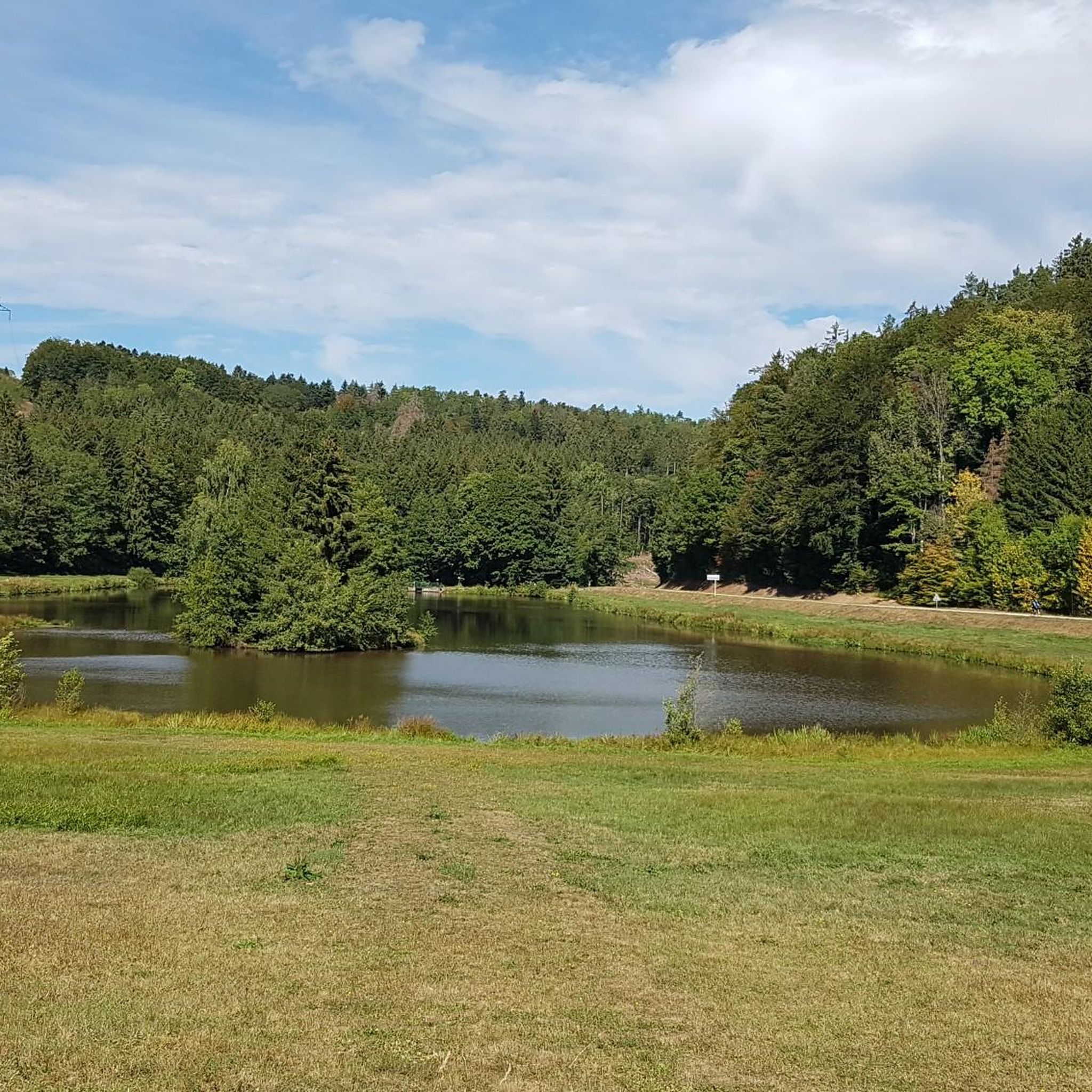
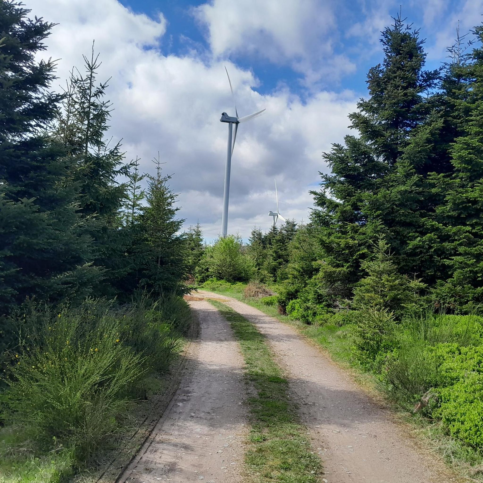
Jogging around Châtas, located in the Vosges mountains, offers diverse landscapes for outdoor activities. The region is characterized by varied terrain, including majestic wooded hills and lush forests, providing numerous running routes. Joggers can explore well-marked trails that traverse forest tracks, old railway lines, and open woodlands. Natural features like lakes and water bodies also contribute to the varied environment for running.
Best jogging routes around Châtas
- The most popular jogging route is View from La Fontenelle loop from Ban-de-Sapt…
Last updated: July 5, 2026
71
runners
27.3km
03:24
810m
800m
Hard run. Very good fitness required. Mostly accessible paths. Some sure footedness required.
10
runners
8.06km
00:51
110m
110m
Moderate run. Good fitness required. Mostly paved surfaces. Suitable for all skill levels.

Sign up for free
11
runners
7.99km
01:04
250m
260m
Moderate run. Good fitness required. Mostly paved surfaces. Suitable for all skill levels.
14
runners
25.4km
03:11
790m
790m
Hard run. Very good fitness required. Sure-footedness, sturdy shoes and alpine experience required.
11
runners
16.3km
01:56
360m
360m
Hard run. Very good fitness required. Sure-footedness, sturdy shoes and alpine experience required.
Get access to more routes and recommendations from other explorers.
Sign up for free
Already have an account?
Our route recommendations are based on thousands of hikes, rides, and runs completed by other people on komoot.
Start today with a free account
Your next adventure awaits.
Login or Signup

Tips from the Community

La Fontenelle (hill 627) forms a remarkable “balcony” overlooking the Rabodeau and Hure valleys. This strategic location, initially held by the French, was captured by the Germans on 22 June 1915. After a perfectly coordinated attack, the French recaptured the site on 8 and 9 July 1915 and held it until the end of the war. La Fontenelle was also the scene of a short mine warfare.
1
0


This shelter served as a protected rest room for the German soldiers here at the front during the First World War.
1
0
A machine gun position on the former German front line in World War I.
1
0
There was probably once a fortification here. Today it is a wonderful viewing rock on the western edge of the hiking trail (approx. 100 m dead-end path there).
2
1
At this viewpoint stands a steel observation capsule from the First World War. It's hard to believe that brutal trench warfare took place here in 1914/15. Today, the landscape offers a peaceful view of meadows and forests.
4
0

Nice city camping, not entered on the card.
0
0

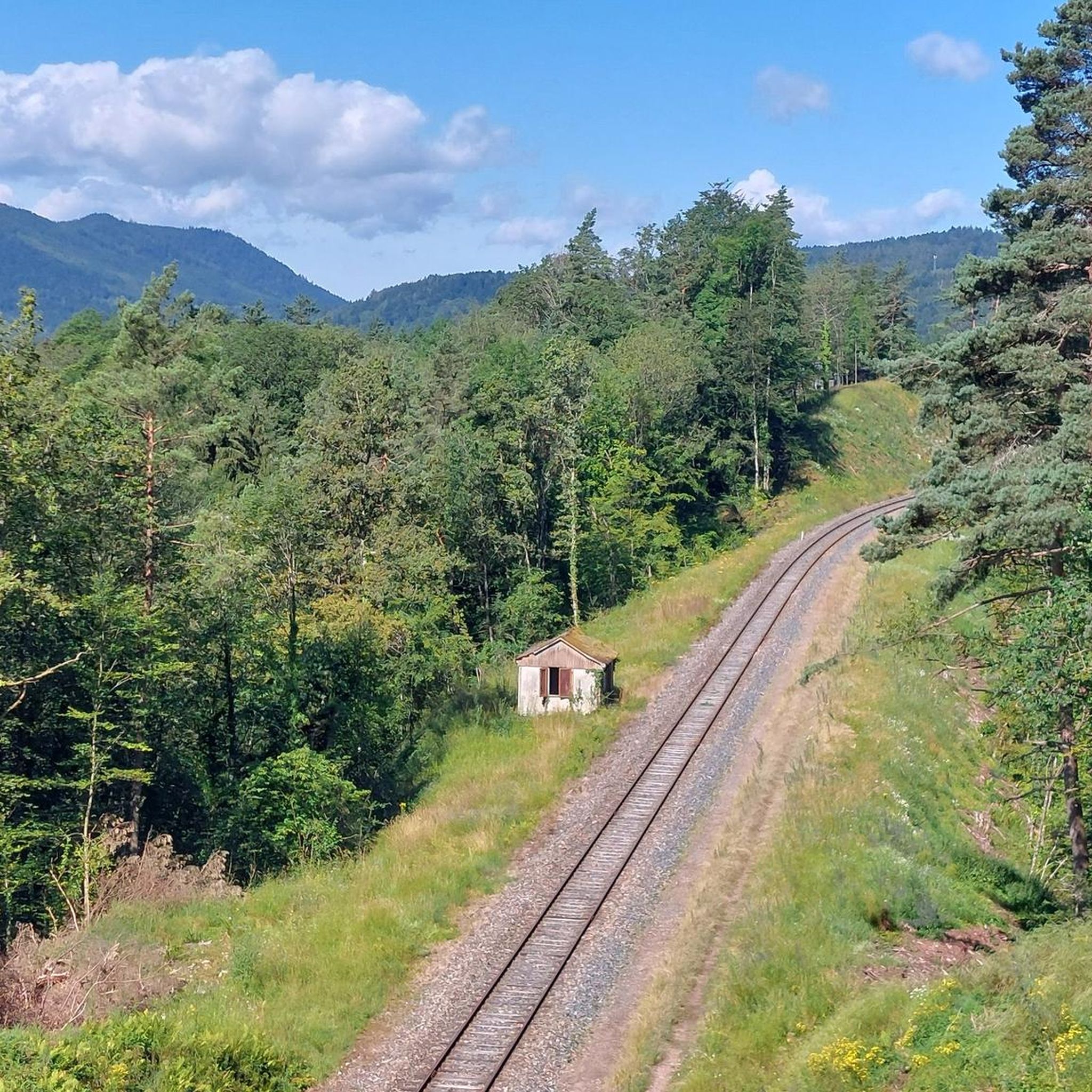
The former capital of the independent territory of Salm-Salm is a rather sleepy little town. A beautiful bike lane ("voie verte") along a former train track connects it to Moyenmoutiers and Étival-Clairefontaine.
2
0
Frequently Asked Questions
How many running routes are available around Châtas?
Châtas offers a wide selection of over 70 running routes, catering to various preferences and fitness levels. These trails wind through the diverse landscapes of the Vosges mountains, providing ample opportunities for outdoor activity.
Are there easy or beginner-friendly jogging routes in the Châtas area?
Yes, Châtas has options for beginners and those seeking an easier run. While many routes are moderate to difficult, there are at least two easy trails available. For a moderate option that's still accessible, consider the Running loop from Saales, which covers about 5 miles (8.1 km) through varied forest terrain.
What kind of scenic views or natural landmarks can I expect on the running trails near Châtas?
The running trails around Châtas are renowned for their majestic wooded hills and panoramic views. Many routes lead to vantage points offering stunning 360-degree vistas. You might encounter natural features like Lac Noir and Lac Blanc, or impressive rock formations such as Dry Fir Rock and Roche des Abris. The View from La Fontenelle loop from Ban-de-Sapt is particularly noted for its panoramic views over the surrounding valleys.
Are the running routes around Châtas dog-friendly?
Generally, the natural trails and forest paths in the Vosges region, including those around Châtas, are suitable for dogs. However, it's always recommended to keep your dog on a leash, especially in areas with wildlife or near agricultural land, and to check local regulations for specific trails or protected areas.
Can I find family-friendly jogging paths in Châtas?
Yes, the region offers family-friendly loops and routes, often with picnic areas, making them suitable for a leisurely run or walk with children. These paths typically feature varied terrain and are well-maintained, providing an enjoyable outdoor experience for all ages.
Are there circular running routes available in Châtas?
Many of the running routes in Châtas are designed as circular loops, allowing you to start and end at the same point. Examples include the Côte du Mont loop from Le Saulcy and the Running loop from Saales, which are popular choices among local runners.
What is the best time of year to go running in Châtas?
Châtas offers beautiful running conditions throughout much of the year. Spring and autumn provide pleasant temperatures and stunning natural colors, while summer is ideal for enjoying the lush forests and lakes. Even winter can be suitable for running, with trails traversing open forests that offer a different kind of beauty, though conditions may vary.
Are there any routes that pass by waterfalls or significant water features?
Yes, the area around Châtas features natural jewels like Lac Noir and Lac Blanc, which offer serene settings for a jog. For a route that specifically highlights a waterfall, consider the challenging Molières Waterfall – Fairy Rocks loop from Saint-Jean-d'Ormont, which includes a significant waterfall feature.
What do other runners say about the trails in Châtas?
The running routes in Châtas are highly rated by the komoot community, with an average score of 4.1 stars from more than 5 reviews. Runners often praise the diverse terrain, the well-marked paths, and the beautiful natural surroundings, including the wooded hills and varied forests.
Are there any historical sites or points of interest along the running trails?
Yes, the region is rich in history and culture. You might encounter sites like Trail of the Hamlets Fallen for France – La Fontenelle or La Bure Celtic Camp. The historic Dukes' Trail, which passes through the Châtas area, also offers opportunities for immersive runs through the Vosges Massif, connecting you with the region's past.
What are the typical distances and difficulty levels for running routes in Châtas?
Running routes in Châtas vary significantly in length and difficulty. You can find moderate paths like the Côte du Mont loop from Le Saulcy, which is about 5 miles (8.0 km), up to more challenging, longer routes such as the Stone Cross at Carrefour – View of Mont Climont loop from Saâles, spanning over 10 miles (16.3 km) with significant elevation changes. The area offers a good mix for all abilities.
Most popular attractions around Châtas

Get inspired with the komoot mobile app


Explore more
Browse the best Running Trails & Routes in other regions.
