The best walks and hikes around Zeinheim
4.5
(357)
2,291
hikers
181
hikes
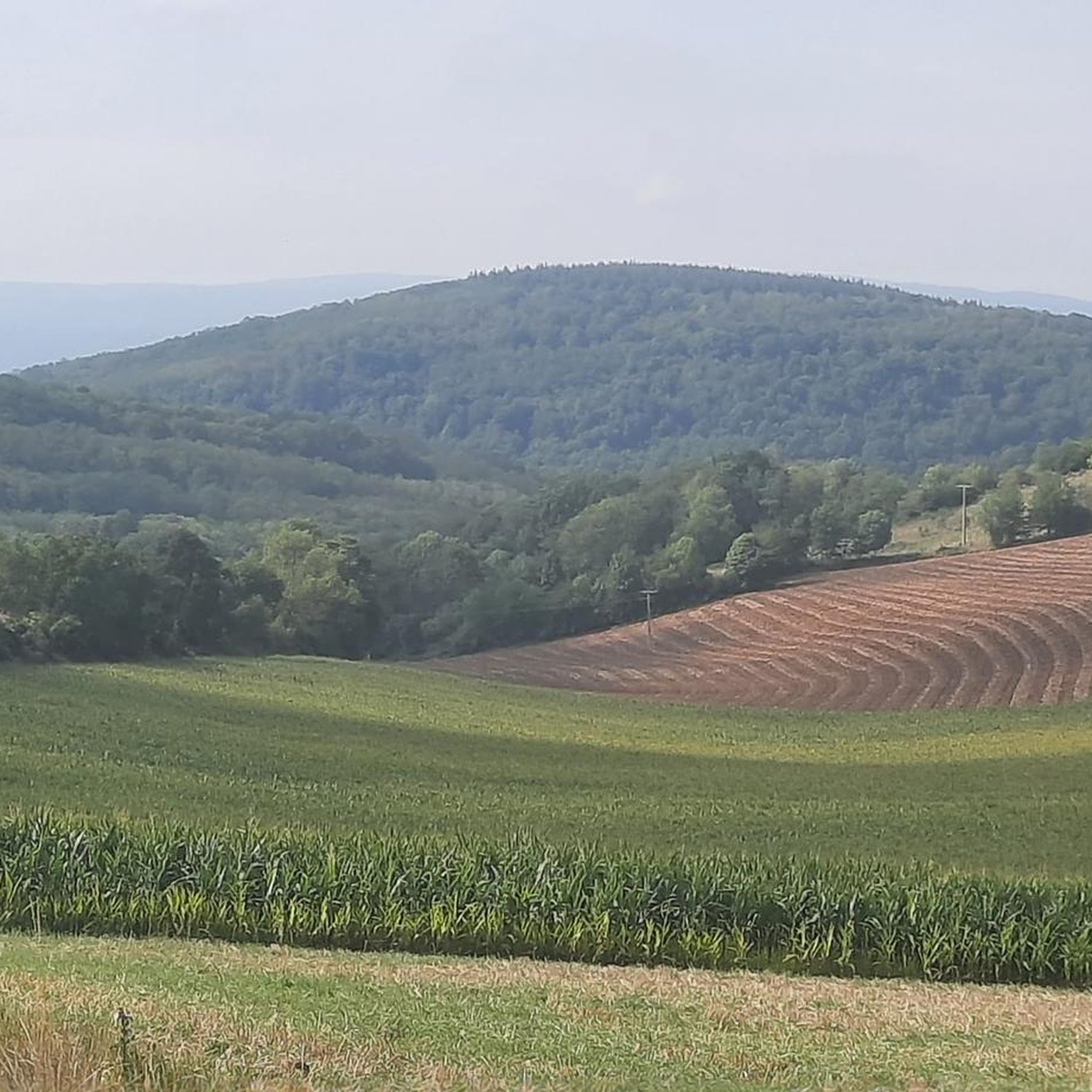
Hiking trails around Zeinheim are situated in the diverse Grand Est region of northeastern France, featuring a varied topography of rolling hills, meadows, and agricultural land. Elevations in the immediate vicinity range from 195 to 268 meters. The broader Bas-Rhin department includes dense forests, vineyards, and unique pink sandstone rock formations, particularly within the Northern Vosges Regional Natural Park. This landscape provides a mix of rural scenery and natural features for outdoor exploration.
Best hiking trails around Zeinheim
- The most…
Last updated: July 1, 2026
4.3
(4)
17
hikers
7.14km
02:06
200m
200m
Moderate hike. Good fitness required. Easily-accessible paths. Suitable for all skill levels.
4.5
(4)
15
hikers
4.23km
01:14
120m
120m
Easy hike. Great for any fitness level. Easily-accessible paths. Suitable for all skill levels.

Sign up for free
4.5
(10)
42
hikers
16.7km
04:46
380m
380m
Moderate hike. Good fitness required. Easily-accessible paths. Suitable for all skill levels.
4.7
(3)
10
hikers
8.29km
02:22
190m
190m
Moderate hike. Good fitness required. Easily-accessible paths. Suitable for all skill levels.
5.0
(1)
6
hikers
10.9km
03:03
220m
220m
Moderate hike. Good fitness required. Easily-accessible paths. Suitable for all skill levels.
Get access to more routes and recommendations from other explorers.
Sign up for free
Already have an account?
Our route recommendations are based on thousands of hikes, rides, and runs completed by other people on komoot.
Start today with a free account
Your next adventure awaits.
Login or Signup


Tips from the Community

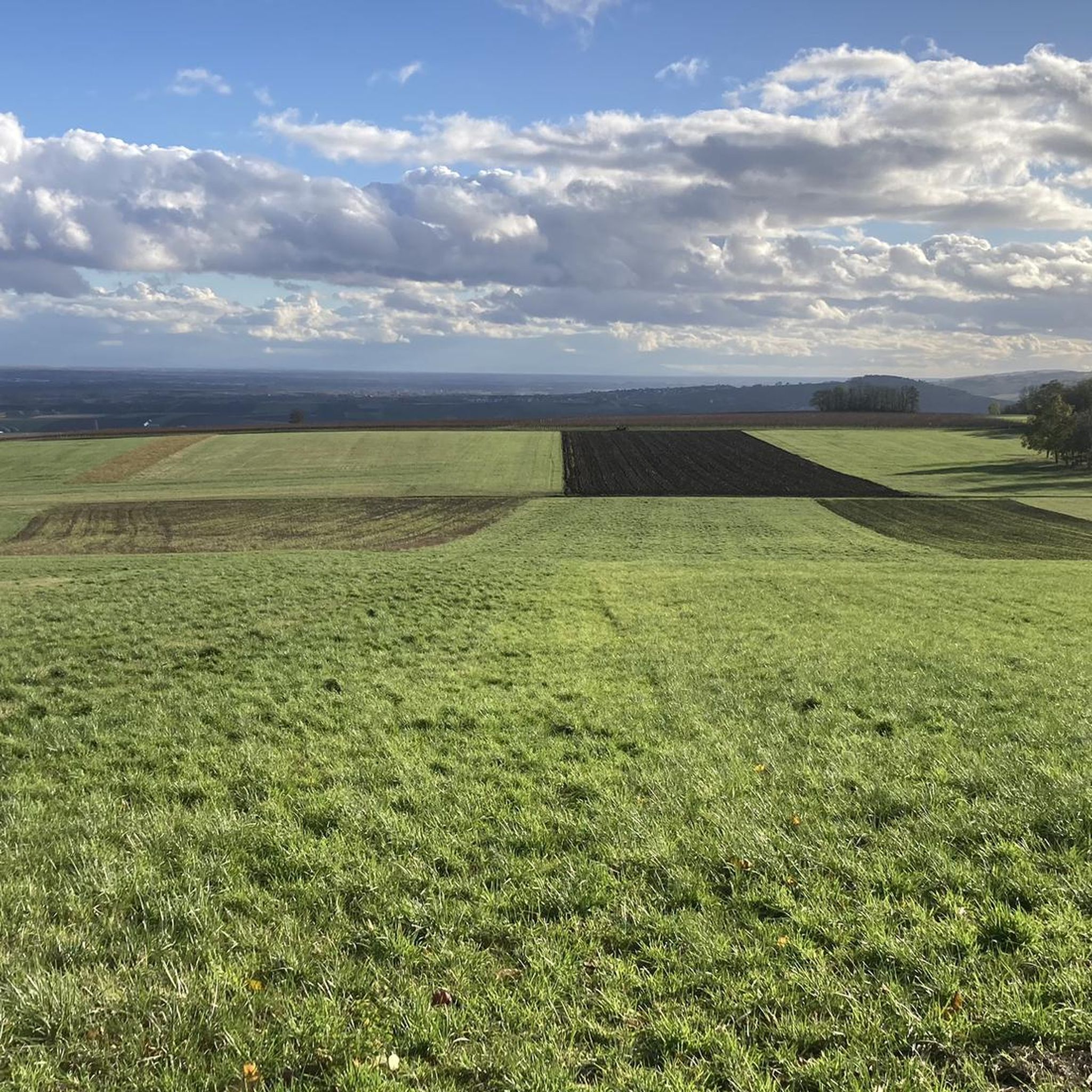
Wonderful, magnificent all-round view. Almost 360 degrees. Strasbourg Cathedral, Black Forest, Vosges... Impressive and a special reward for the climb. heart expanding
0
0

Well-preserved chapel at the vineyard. Nice stop option on the passing hiking trail
0
0

A beautiful Way of the Cross with a wonderful view of the vineyards on Marlenheim.
1
0

Beautifully preserved place of worship..🤗
1
0


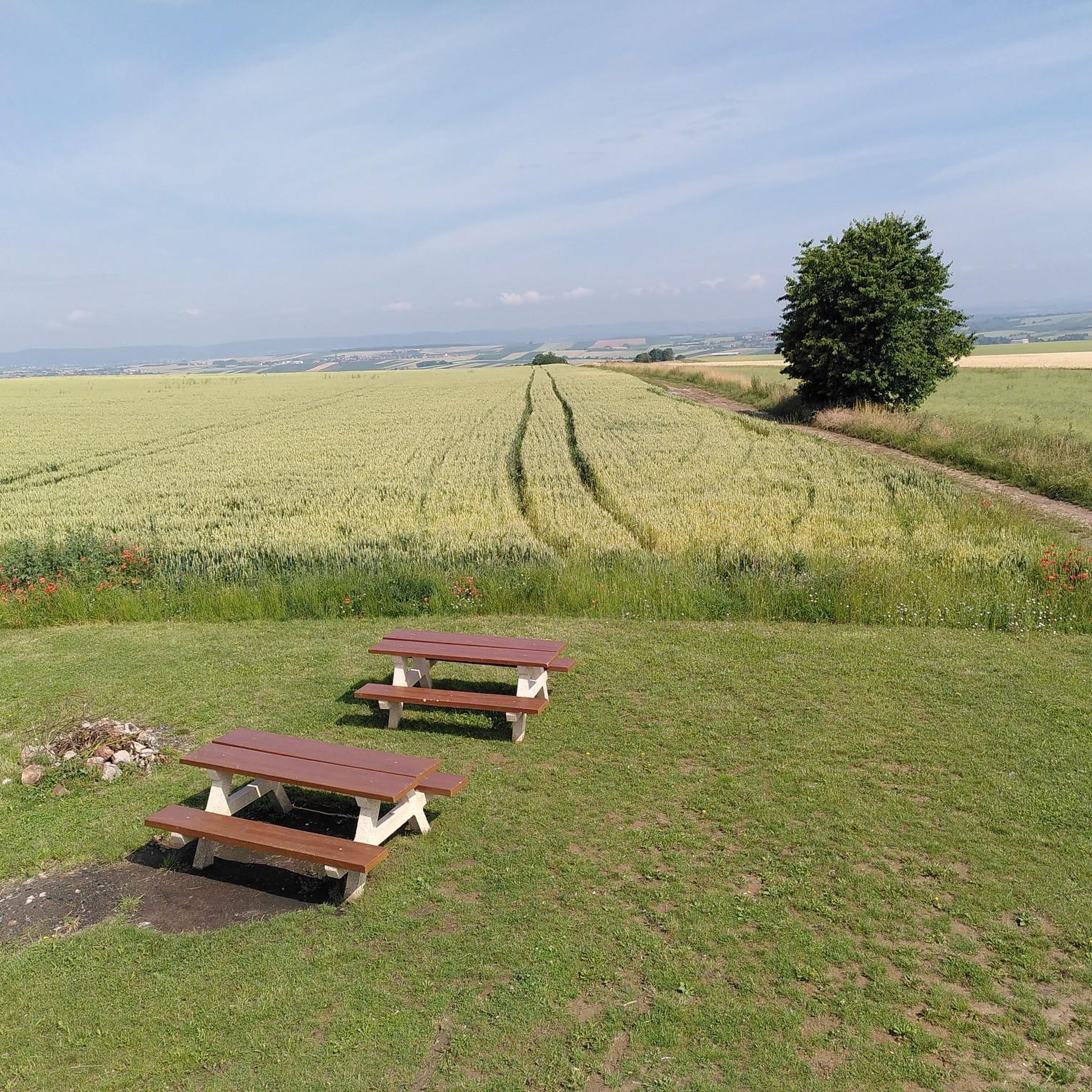
Picnic spot and viewpoint
2
0
Frequently Asked Questions
What kind of terrain can I expect on hikes around Zeinheim?
The immediate area around Zeinheim features a varied topography of rolling hills, meadows, and agricultural land, with elevations ranging from 195 to 268 meters. Further afield in the Bas-Rhin department, you'll find dense forests, vineyards, and unique pink sandstone rock formations, especially within the Northern Vosges Regional Natural Park. This provides a mix of rural scenery and natural features for exploration.
Are there any easy hiking trails suitable for beginners or leisurely walks?
Yes, there are plenty of options for easier walks. Out of over 180 routes, 63 are classified as easy. An example of a shorter, easy trail is the Goeftberg Viewpoint – Saint Wendelin Chapel loop from Hohengœft, which is 2.9 miles (4.6 km) long and typically takes about 1 hour 20 minutes.
Can I find circular hiking routes in the Zeinheim area?
Yes, many of the trails around Zeinheim are designed as loops, offering convenient circular walks. For instance, the Saint Wendelin Chapel – Goeftberg Viewpoint loop from Hohengœft is a popular moderate circular trail, covering 4.4 miles (7.1 km). Another option is the Saint Wendelin Chapel loop from Rangen, which is 8.2 miles (8.2 km) long.
What are the best times of year to go hiking near Zeinheim?
The region is enjoyable for hiking across multiple seasons. Spring and autumn offer pleasant temperatures and beautiful scenery, with blooming fields in spring and vibrant foliage in autumn. Summer is also suitable, though some trails might be more exposed to the sun. The diverse landscapes, from rolling hills to forests, provide varied experiences throughout the year.
Are there any family-friendly hiking options around Zeinheim?
Many of the easier and moderate trails are suitable for families. The varied terrain, including meadows and agricultural fields, offers engaging walks for children. Shorter loop trails, like the Goeftberg Viewpoint – Saint Wendelin Chapel loop from Hohengœft, are ideal for families looking for a less strenuous outing.
Are dogs allowed on the hiking trails near Zeinheim?
Generally, dogs are welcome on hiking trails in the region. However, it's always advisable to keep them on a leash, especially when passing through agricultural areas, near livestock, or in nature reserves. Always ensure you clean up after your pet to maintain the natural environment for everyone.
What kind of landmarks or points of interest can I see while hiking?
While hiking around Zeinheim, you can encounter various points of interest. The region is known for its charming rural landscapes. Nearby attractions include the Cycle path on the old railroad line, the historic Marmoutier Abbey Church, and the intriguing Villa Meteor. These offer opportunities to combine nature with cultural exploration.
Where can I find parking for hiking trails in Zeinheim?
Parking is generally available near the starting points of many trails, especially in and around villages like Hohengœft, which serves as a common access point for several popular routes. Specific parking information is often detailed on individual komoot tour pages, so check the route you plan to hike for the most accurate details.
Are there any cafes or restaurants near the hiking routes in Zeinheim?
Zeinheim and its surrounding villages offer local amenities where you can find places to eat or grab a drink. While specific establishments vary, you can often find cafes or restaurants in the larger nearby towns or villages, providing opportunities for refreshments before or after your hike.
What do other hikers say about the trails around Zeinheim?
The hiking trails around Zeinheim are highly regarded by the komoot community, boasting an average rating of 4.5 stars from over 300 reviews. Hikers frequently praise the well-maintained paths, the peaceful rural scenery, and the diverse landscapes that offer enjoyable experiences for various skill levels.
Are there any longer or more challenging hikes available?
Yes, for those seeking a greater challenge, there are longer and more demanding routes. For example, the Goeftberg Viewpoint – Chapelle de Hohenhoeft loop from Hohengœft is a moderate 10.4 miles (16.7 km) path with significant elevation gain, exploring the local hills and taking around 4 hours 45 minutes to complete. The region offers 111 moderate and 7 difficult trails.
How accessible are the hiking trails by public transport?
While Zeinheim is a small commune, the broader Bas-Rhin department has public transport options. However, direct access to specific trailheads might require some planning. It's recommended to check local bus schedules or regional train services to nearby towns and then consider local connections or a short taxi ride to reach your desired starting point.
Most popular attractions around Zeinheim

Get inspired with the komoot mobile app


Explore more
Browse the best Hikes in other regions.
