The best running trails around Lubine
4.0
(30)
2,046
runners
158
runs
Jogging around Lubine offers a diverse landscape for runners, characterized by its forested hills and valleys within the Vosges mountains. The region features varied terrain, from gentle paths along streams to more challenging ascents leading to elevated viewpoints. These running routes provide opportunities to explore the natural environment, often winding through dense woodlands and offering glimpses of the surrounding countryside.
Best jogging routes around Lubine
- The most popular jogging route is Le Climont, a 9.3 miles (14.9 km) trail…
Last updated: July 5, 2026
6
runners
14.9km
01:59
610m
610m
Hard run. Very good fitness required. Sure-footedness, sturdy shoes and alpine experience required.
10
runners
8.06km
00:51
110m
110m
Moderate run. Good fitness required. Mostly paved surfaces. Suitable for all skill levels.

Sign up for free
11
runners
16.3km
01:56
360m
360m
Hard run. Very good fitness required. Sure-footedness, sturdy shoes and alpine experience required.
6
runners
8.86km
01:12
330m
330m
Hard run. Very good fitness required. Sure-footedness, sturdy shoes and alpine experience required.
4.0
(1)
12
runners
11.8km
01:30
350m
350m
Hard run. Very good fitness required. Mostly paved surfaces. Suitable for all skill levels.
Get access to more routes and recommendations from other explorers.
Sign up for free
Already have an account?
Our route recommendations are based on thousands of hikes, rides, and runs completed by other people on komoot.
Start today with a free account
Your next adventure awaits.
Login or Signup

Tips from the Community

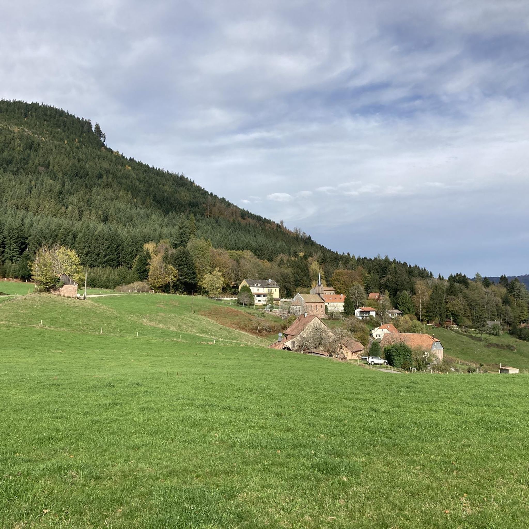
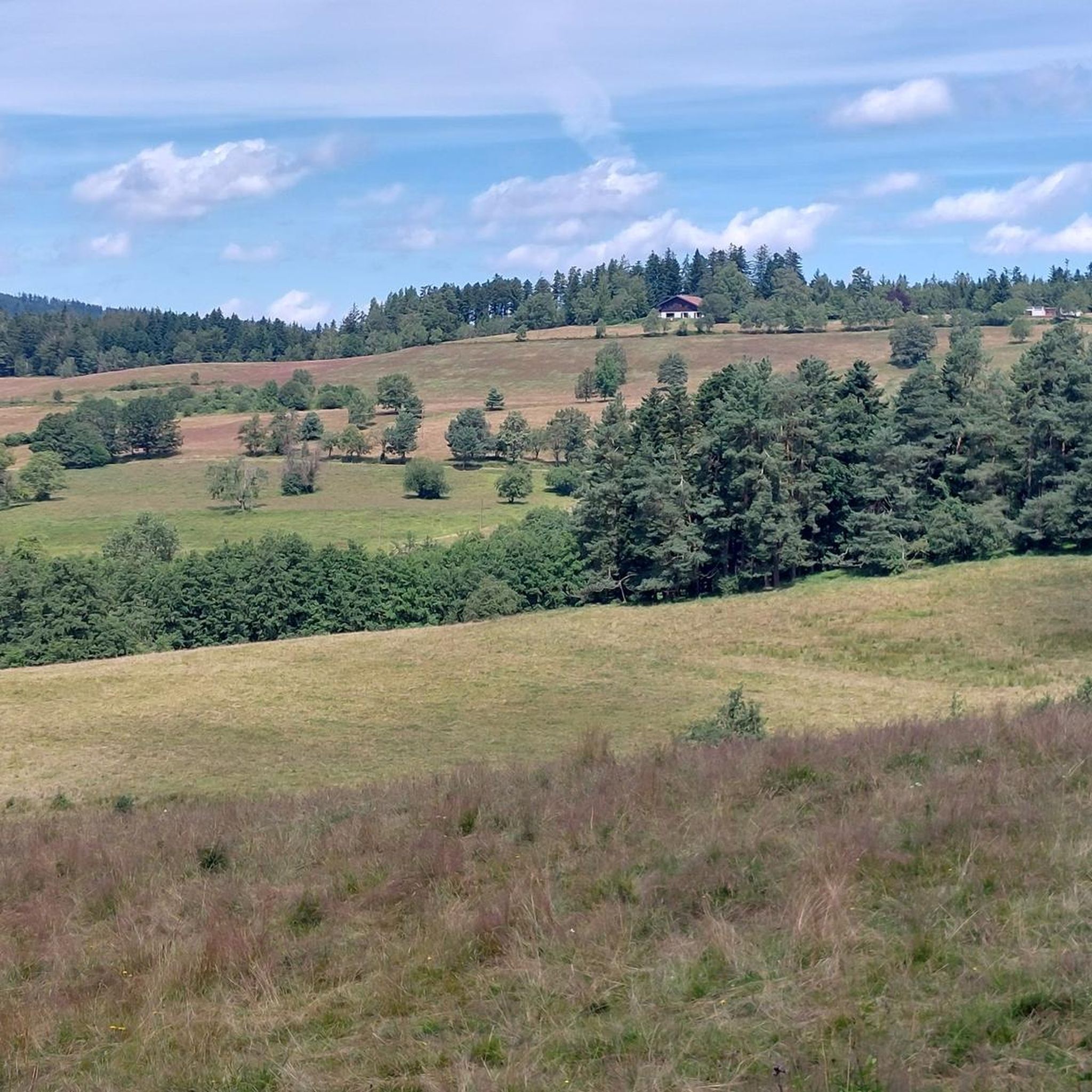
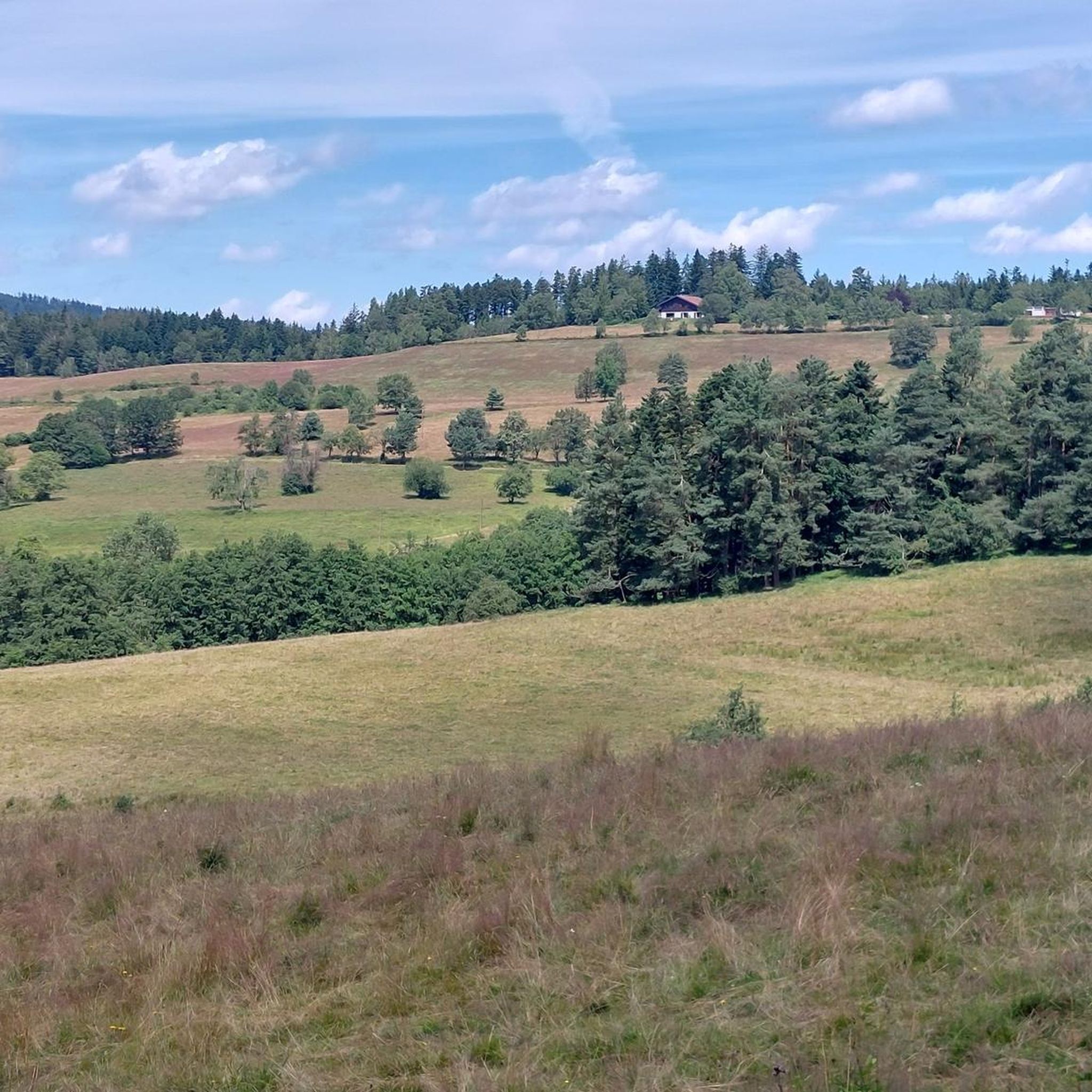
Uphill or downhill, you won't have to focus too much on your feet. This wide dirt road allows you to practice running ascents or rolling descents. You can even allow yourself to look up to appreciate the landscape.
0
0
A tough and technical climb, with slopes that can exceed 25% in some parts. When the forest thins out, the adrenaline takes over and sublimates the landscapes of the valley.
1
0
Le Climont is perfect for training, with its technical north face and rolling south face. Depending on what you want to work on, go up one and down the other. Either way, you'll be rewarded with the great views from its tower.
0
0

Very nice view of the Bruche valley and the surrounding area.
1
0

Hike to the children's rock starting from the road to the Saâles sanatorium
2
0
Frequently Asked Questions
How many running routes are available around Lubine?
Lubine and its surrounding area offer a wide selection of running routes, with over 140 trails mapped on komoot. This includes a diverse mix of easy, moderate, and challenging paths through the Vosges mountains.
Are there any easy jogging routes suitable for beginners in Lubine?
Yes, Lubine features several easy jogging paths perfect for beginners or those looking for a relaxed run. There are 6 routes specifically graded as easy, offering gentle terrain through the region's natural beauty.
Can I find circular running trails in the Lubine area?
Many of the running routes around Lubine are designed as loops, allowing you to start and finish at the same point. For example, the Running loop from Saales is a popular moderate circular path, and the View from Mont Climont – Julius Tower (Tour du Climont) loop from Ranrupt offers a more challenging circular experience.
What kind of views can I expect on running routes around Lubine?
The running routes in Lubine often lead through dense forests and rolling hills, providing scenic viewpoints of the Vosges mountains. Trails like the Stone Cross at Carrefour – View of Mont Climont loop from Saâles offer panoramic vistas, and the View from Mont Climont – Julius Tower (Tour du Climont) loop from Ranrupt takes you to a prominent tower with expansive views.
Are there any family-friendly running paths in Lubine?
While many routes in Lubine involve significant elevation, there are easier paths suitable for families. Look for the 6 routes graded as 'easy' on komoot, which typically feature less challenging terrain and shorter distances, making them more accessible for a family outing.
What do other runners enjoy most about jogging in Lubine?
The running trails in Lubine are highly rated by the komoot community, with an average score of 4.2 stars from over 20 reviews. Runners often praise the diverse landscape, the quiet woodlands, and the variety of routes catering to different fitness levels, from gentle paths to challenging ascents.
Are dogs allowed on the running trails in Lubine?
Generally, dogs are welcome on most trails in the Vosges region, including those around Lubine, especially if kept on a leash. However, it's always advisable to check local signage or specific park regulations for any restrictions, particularly in nature reserves or protected areas.
What are some notable landmarks or attractions I might see while running in Lubine?
As you run through Lubine, you might encounter several interesting points. The Julius Tower (Tour du Climont) is a prominent landmark offering great views. Other natural attractions include the Champ du Feu summit and the Roche des Abris. Some routes may also pass by historical sites like La Roche Castle.
What is the best time of year for running in Lubine?
Spring and autumn are often considered ideal for running in Lubine, with pleasant temperatures and vibrant natural scenery. Spring brings blooming flora, while autumn offers stunning fall foliage. Summer can also be great, especially in the cooler mornings or evenings, though some trails might be more exposed to sun. Winter running is possible, but be prepared for colder temperatures and potentially snowy or icy conditions, especially at higher elevations.
Are there any running routes in Lubine that are less crowded or considered 'hidden gems'?
While popular routes like Le Climont attract many, the extensive network of over 140 trails means you can often find quieter paths. Exploring some of the less-trafficked moderate or difficult routes, such as the Voyemont loop from Provenchères-et-Colroy, can lead you to more secluded sections of the forest and offer a more tranquil running experience.
How long do running routes in Lubine typically take to complete?
The duration of running routes in Lubine varies significantly based on distance and difficulty. Shorter, easier paths might take less than an hour, while more challenging routes like Le Climont (9.3 miles / 14.9 km) can take around 2 hours, and the View from Mont Climont – Julius Tower (Tour du Climont) loop from Ranrupt (9.3 miles / 14.9 km) typically takes about 2 hours and 5 minutes.
Most popular attractions around Lubine

Get inspired with the komoot mobile app


Explore more
Browse the best Running Trails & Routes in other regions.
