The best running trails around Gemaingoutte
4.7
(24)
1,677
runners
104
runs
Jogging around Gemaingoutte offers a diverse range of terrain within the Vosges Massif in eastern France. The region is characterized by extensive pine forests, high-altitude meadows, and mountainous landscapes, with elevations varying from 424 to 986 meters. An extensive network of trails, including sections of the GR de Pays de La Ligne Bleue des Vosges, provides varied topography for runners. This area features invigorating climbs and scenic backdrops, including views over the Petite Lièpvre valley.
Best jogging routes around Gemaingoutte
…Last updated: October 1, 2026
5.0
(1)
150
runners
20.5km
02:55
940m
940m
Hard run. Very good fitness required. Sure-footedness, sturdy shoes and alpine experience required.
120
runners
41.7km
05:35
1,670m
1,670m
Hard run. Very good fitness required. Mostly accessible paths. Some sure footedness required.

73
runners
10.8km
01:34
500m
500m
Hard run. Very good fitness required. Sure-footedness, sturdy shoes and alpine experience required.
24
runners
12.3km
01:29
380m
380m
Hard run. Very good fitness required. Mostly accessible paths. Some sure footedness required.
23
runners
17.4km
02:20
700m
700m
Hard run. Very good fitness required. Mostly accessible paths. Some sure footedness required.
Get access to more routes and recommendations from other explorers.
Already have an account?
Our route recommendations are based on thousands of hikes, rides, and runs completed by other people on komoot.
Start today with a free account
Your next adventure awaits.
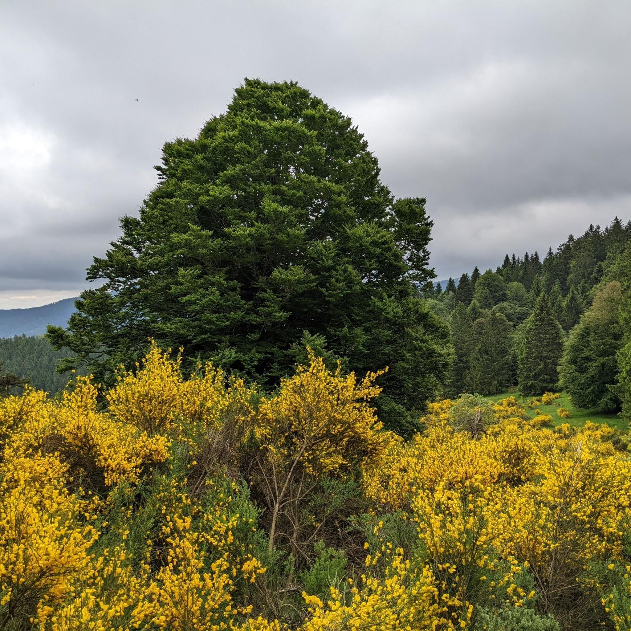
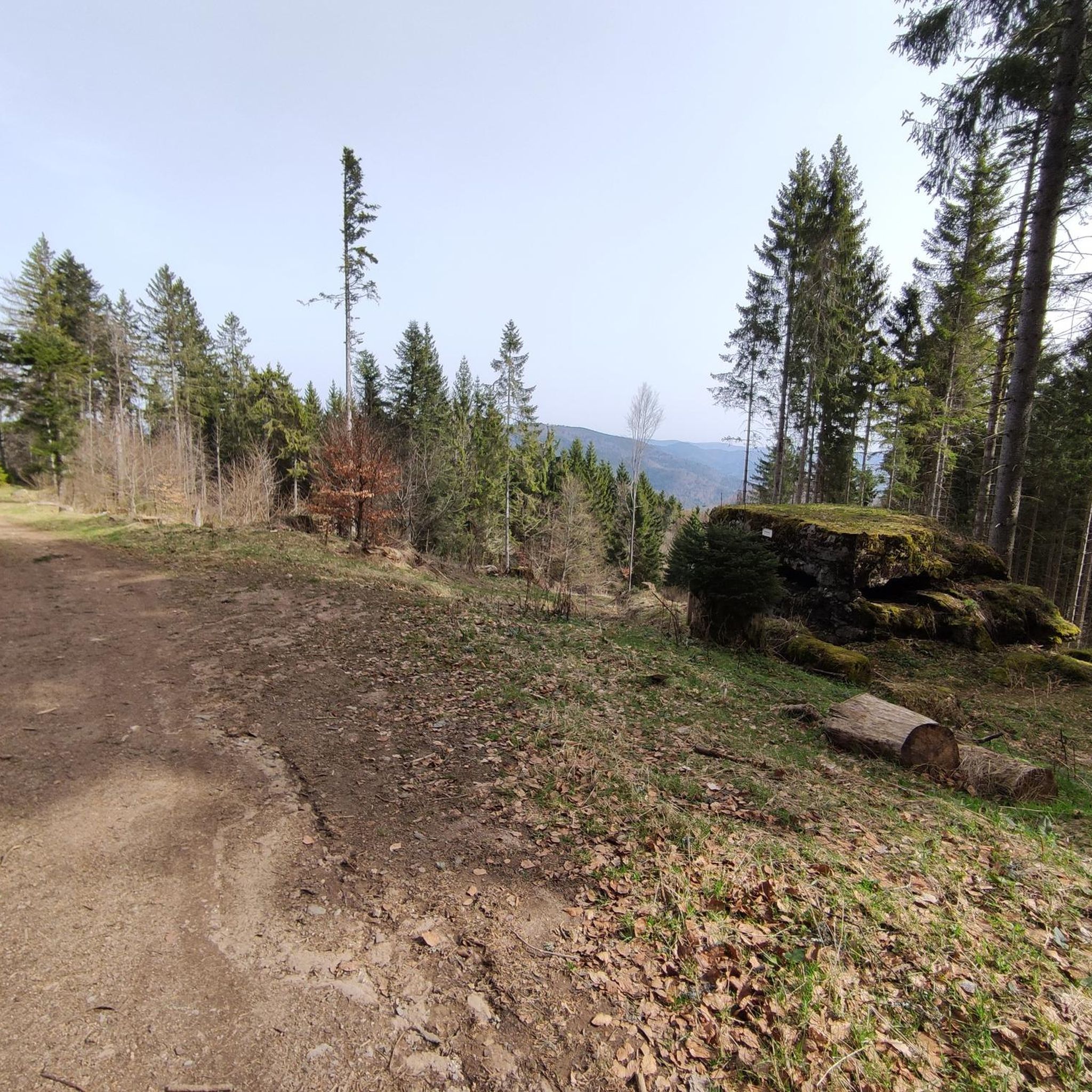
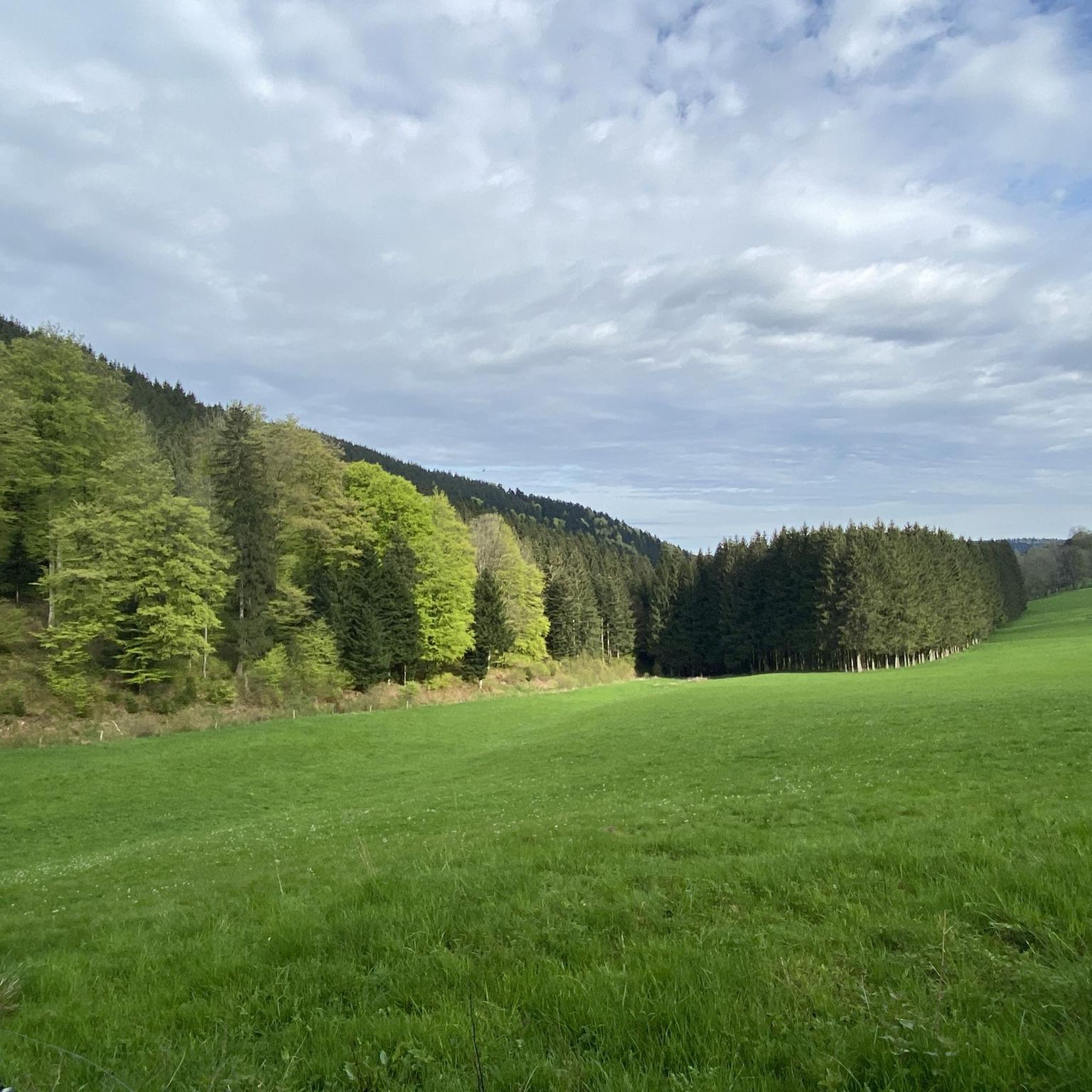

Tips from the Community

Nice shelter, viewpoint 200m further, good camping possibilities!
1
0

Magnificent 360° view, there is a refuge 100m further down in case of bad weather
0
0


Nestled in a valley between wooded hills, this peaceful village is a gateway to the Vosges. During the First World War, it was close to the front, which is still visible in the area via bunkers, trenches and memorials. Today, Ban-de-Laveline is a popular base for hikers and cyclists, with routes to the Col d’Hermanpaire, the Spitzemberg and the nature reserve around the Tête de Raves. In the village itself, you will find a sober Église Saint-Laurent, a classic Monument aux Morts, and a peaceful atmosphere that invites you to explore.
9
0

Worth a stop not only when it rains: Refuge "Pierre des Trois Bans"
0
0

interesting hike, bunker area, no difficulty
0
0
nice area with possibility of shelter and making a fire (outside risk periods)
0
0
Beautiful shelter for 2 to 3 people max.
0
0
Frequently Asked Questions
How many running routes are available around Gemaingoutte?
There are over 85 running routes documented around Gemaingoutte on komoot, offering a wide variety of options for different fitness levels and preferences. These trails are highly rated by the komoot community, with an average score of 4.7 stars.
What kind of terrain can I expect on the jogging trails near Gemaingoutte?
The jogging trails around Gemaingoutte offer diverse terrain typical of the Vosges region. You can expect to run through high-altitude meadows, experience varied topography with invigorating climbs, and enjoy scenic views over the Petite Lièpvre valley. Many routes are part of or connect to the extensive GR® de Pays de La Ligne Bleue des Vosges network, providing well-maintained paths suitable for running.
Are there running routes suitable for beginners in Gemaingoutte?
Yes, while many routes offer a challenge, there are a few easier running paths around Gemaingoutte. These routes typically feature less elevation gain and shorter distances, making them ideal for those new to trail running or looking for a more relaxed jog. You can find 3 easy routes listed on komoot.
Can I find challenging trail running options in the Gemaingoutte area?
Absolutely. Gemaingoutte is an excellent destination for challenging trail running, with 40 difficult routes available. These often involve significant elevation changes and longer distances, such as the Little Brézouard – Bagenelles Pass loop from Échery, which covers over 41 km with substantial climbs, offering extensive views across the mountainous landscape.
Are there any circular running routes around Gemaingoutte?
Yes, many of the running routes in Gemaingoutte are designed as circular loops, allowing you to start and finish at the same point. Examples include the View of Ban de Laveline – Ban-de-Laveline loop from Ban-de-Laveline, which offers scenic vistas, and the Belvédère de Sorémont loop from Ban-de-Laveline, leading through varied terrain.
What interesting landmarks or natural features can I see along the running routes?
The running routes around Gemaingoutte offer several points of interest. You might encounter various mountain passes like Bagenelles Pass or Fréland Pass, which provide superb viewpoints. Natural monuments such as the Three Little Tables Rock are also accessible, offering unique sights during your run.
Are there any running routes that pass by historical sites?
Yes, some routes in the vicinity offer glimpses of historical significance. For instance, the Overview of the mines – Entrance to the Mines of Saxen loop from Échery takes you near old mining areas. Additionally, the Orbey World War I military cemetery is another notable historical site in the broader region that could be combined with a run.
Is Gemaingoutte a good place for family-friendly jogging?
While Gemaingoutte itself is a smaller locality, its proximity to broader attractions in the Vosges means there are options for families. Look for the easier-rated routes, which tend to be shorter and have less elevation, making them more suitable for families with children. The region's natural beauty provides a refreshing environment for outdoor activities for all ages.
Are the running trails in Gemaingoutte dog-friendly?
Generally, the natural trails in the Vosges region, including those around Gemaingoutte, are dog-friendly. However, it's always advisable to keep your dog on a leash, especially in areas with wildlife or near livestock. Check local signage for any specific restrictions, particularly within nature reserves or protected areas.
What is the best season for running in Gemaingoutte?
The Vosges region, including Gemaingoutte, is beautiful throughout the year. Spring and autumn offer pleasant temperatures and vibrant scenery, making them ideal for running. Summer can be warm but provides long daylight hours, while winter offers a unique experience for those prepared for colder conditions and potential snow, especially on higher-altitude trails.
Are there options for parking near the running routes in Gemaingoutte?
Given Gemaingoutte's setting within a region popular for outdoor activities, parking is generally available at common trailheads or in nearby villages like Échery or Ban-de-Laveline, which serve as starting points for many routes. It's recommended to check specific route descriptions on komoot for detailed parking information.
Can I access the running trails around Gemaingoutte using public transport?
Access to some trailheads in the Vosges region is possible via public transport, though options might be limited directly in Gemaingoutte due to its smaller size. Larger nearby towns may offer bus services that connect to villages closer to trail starting points. Planning your route in advance and checking local transport schedules is recommended.
Most popular attractions around Gemaingoutte

Get inspired with the komoot mobile app


Explore more
Browse the best Running Trails & Routes in other regions.
