The best running trails around Hohwald
4.2
(78)
3,693
runners
34
runs
Jogging around Hohwald offers diverse landscapes within the Vosges mountains, characterized by dense forests, hilly terrain, and numerous mountain streams. The region features altitudes ranging from 450 to nearly 1100 meters, providing varied elevation for different running intensities. Extensive woodlands, primarily composed of pine and fir trees, offer shaded paths, while geological formations like Lausitzer granite add visual interest to many routes. This area is known for its natural tranquility and extensive network of trails.
Best jogging routes around Hohwald
- The most popular jogging route is Au Champ du Feu – Kreuzweg Pass (768 m) loop from Le Hohwald, a 9.5 miles (15.3 km) trail that takes 1 hour 54 minutes to complete, featuring significant elevation gain through forested hills.
- Another top favourite among local runners is La Rothlach – Rothlach Inn loop from La Rothlach, a difficult 8.9 miles (14.4 km) path. This route winds through varied forest landscapes with moderate climbs and scenic views.
- Local runners also love the Landsberg Castle – Mount Sainte-Odile loop from La Rothlach, a 16.5 miles (26.6 km) trail leading through dense forests and past historical sites, often completed in about 3 hours 26 minutes.
- Jogging around Hohwald is defined by dense forests, hilly terrain, and refreshing mountain streams, including the Hohwald Waterfall. The extensive network of marked trails offers options for different ability levels, from easy paths to more challenging ascents.
- The routes in Hohwald are highly rated by the komoot community with an average score of 4.2 stars from over 60 reviews. More than 3,700 runners have used komoot to explore Hohwald's varied terrain.
Last updated: October 8, 2026
4.5
(2)
55
runners
15.4km
01:54
530m
530m
Hard run. Very good fitness required. Sure-footedness, sturdy shoes and alpine experience required.
5.0
(1)
46
runners
14.4km
01:44
260m
260m
Moderate run. Good fitness required. Mostly paved surfaces. Suitable for all skill levels.

68
runners
Hard run. Very good fitness required. Mostly paved surfaces. Suitable for all skill levels.
29
runners
26.6km
03:27
780m
780m
Hard run. Very good fitness required. Sure-footedness, sturdy shoes and alpine experience required.
14
runners
20.1km
02:30
670m
670m
Hard run. Very good fitness required. Sure-footedness, sturdy shoes and alpine experience required.
Get access to more routes and recommendations from other explorers.
Already have an account?
Our route recommendations are based on thousands of hikes, rides, and runs completed by other people on komoot.
Start today with a free account
Your next adventure awaits.
Popular around Hohwald

Sentier de l'Europe (GR 5) – Montbéliard to Abreschviller
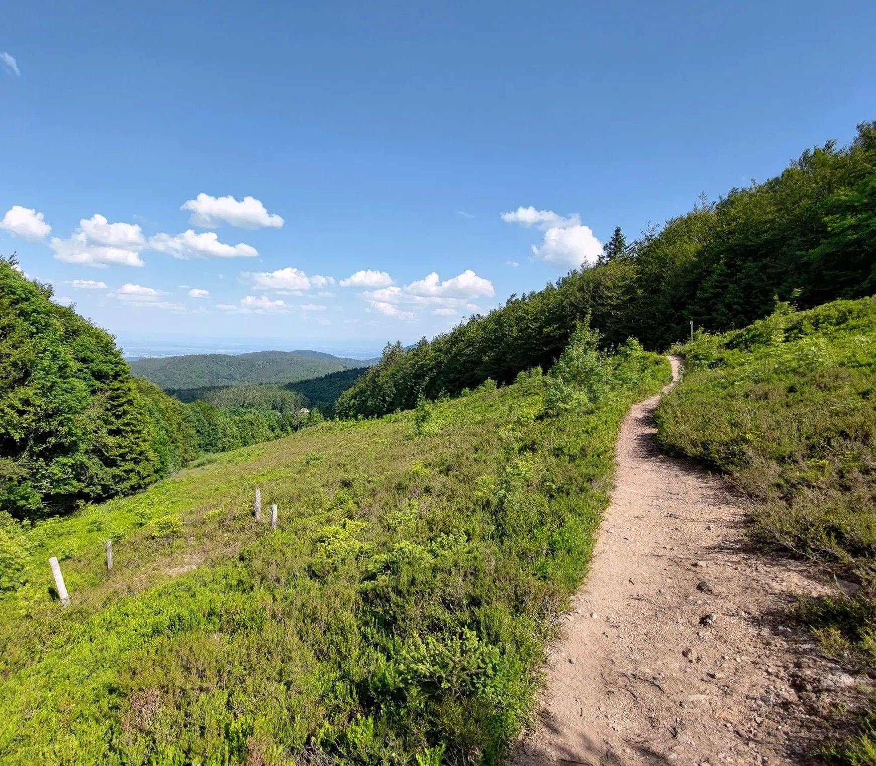
From one slope to the other – Crossing the Champ du Feu
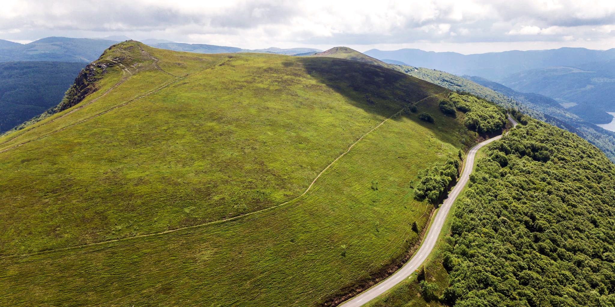
Beautiful passes In the Vosges Mountains
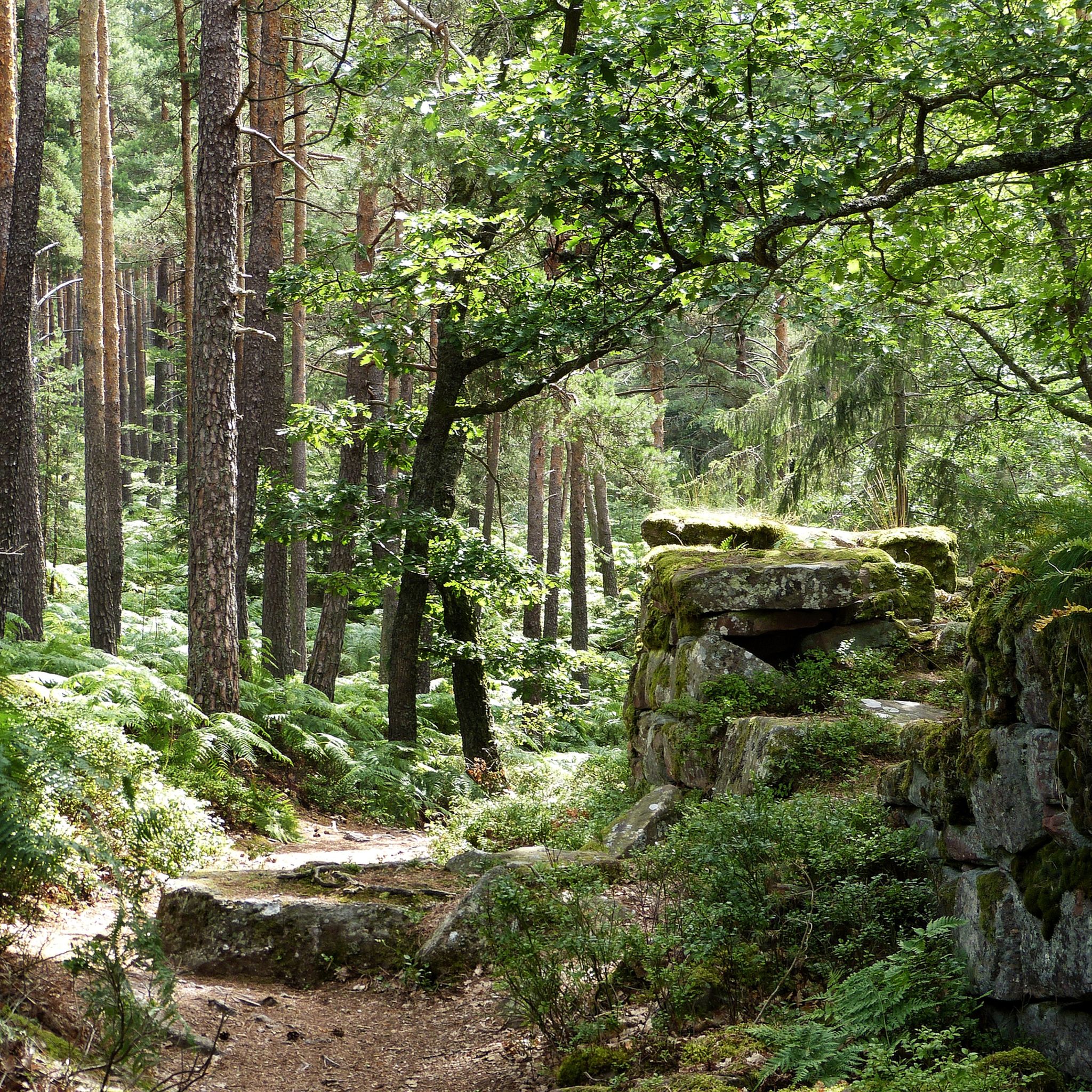
Hiking around Hohwald
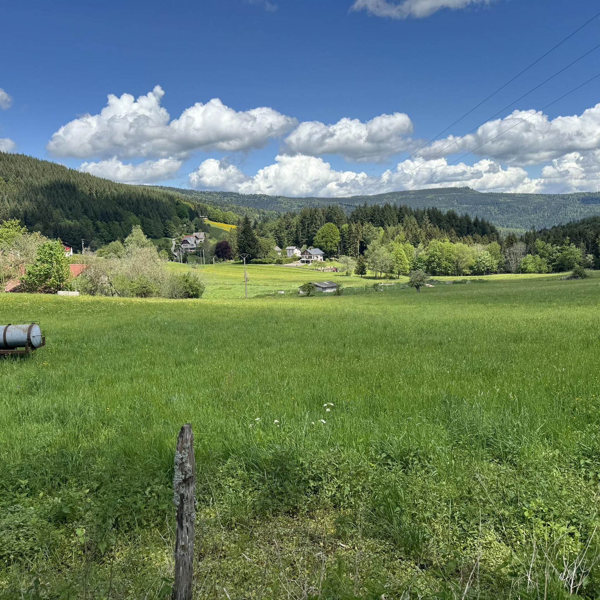
MTB Trails around Hohwald
Cycling around Hohwald
Road Cycling Routes around Hohwald

Gravel biking around Hohwald
Mountain Hikes around Hohwald


Tips from the Community

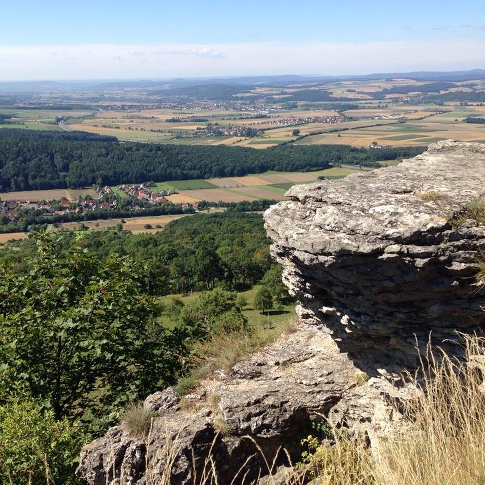
Beautiful viewpoint of the Rhine valley and the Black Forest. The Panoramafelsen is located at 780 m.
0
0
This imposing sandstone block is located below the enclosure of the Pagan Wall (Mur Païen), about fifty meters away. Before the expansion of the forest, this rock offered an excellent vantage point (Lauerposten) to monitor the access to Mont Sainte-Odile on the road from Barr. As proof of the importance of this place, the watchstone was connected to the main enclosure by a cross-wall of the same construction as the Pagan Wall. The sandstone blocks were connected to each other by a system of oak dowels and mortises (Mortaises et Tenons).
0
0

Very good place to stop for refreshments!
0
0

Magnificent waterfall on the edge of the GR5. 🥰
0
0
Champ du Feu, at 1099 meters, is the highest mountain in the Bas-Rhin department of the Vosges in Alsace. It is located between the villages of Belmont and Le Hohwald and consists of an extensive high plateau with forests, meadows, and moorlands. The area is a popular nature and recreational area. In summer, it is mainly used for hiking, mountain biking, and nature observation. In winter, there is a small ski resort with cross-country trails and simple slopes for winter sports. The stream La Serva originates from Champ du Feu and later forms the Cascade de la Serva. In clear weather, the summit offers wide views over the Vosges, the Rhine plain, and as far as the Black Forest. The area is particularly known for its tranquil nature, high moors, sunrises and starry skies, as well as well-marked hiking trails.
0
0
Champ du Feu, at 1099 meters, is the highest mountain in the Bas-Rhin department of the Vosges in Alsace. It lies between the towns of Belmont and Le Hohwald and consists of an extensive high plateau with forests, meadows, and moorlands. The area is a popular nature and recreational area. In summer, it is mainly used for hiking, mountain biking, and nature observation. In winter, there is a small ski area with cross-country trails and simple slopes for winter sports. The brook La Serva originates from Champ du Feu, later forming the Cascade de la Serva. In clear weather, the summit offers wide views over the Vosges, the Rhine plain, and as far as the Black Forest. The area is particularly known for its tranquil nature, high moors, sunrises and starry skies, as well as well-marked hiking trails.
0
0

Frequently Asked Questions
How many running routes are available in Hohwald?
Hohwald boasts an extensive network of trails, with over 30 dedicated running routes available on komoot. The region itself offers more than 120 kilometers of marked paths, providing a wide variety of options for all abilities.
Are there running routes that feature waterfalls in Hohwald?
Yes, the Hohwald Waterfall, also known as the Andlau Waterfall or Kreuzweg Waterfall, is a significant natural attraction. Several loop trails lead to this beautiful cascade, allowing you to enjoy the scenic beauty and tranquil ambiance while running. You can find routes that pass by this feature, often tumbling through mossy rock ledges deep within the forest.
What kind of terrain can I expect on the running trails in Hohwald?
The terrain in Hohwald is quite varied, characterized by dense forests, hilly landscapes, and refreshing mountain streams. You'll encounter paths through extensive woodlands, primarily composed of pine and fir trees, offering cool, shaded runs. The elevation ranges from 450 to nearly 1100 meters, providing opportunities for both gentle uphill climbs and more challenging ascents. Geological formations like Lausitzer granite also add visual interest to many routes.
Are there easy running routes suitable for beginners in Hohwald?
Yes, while Hohwald offers many challenging trails, there are also easier, accessible paths suitable for all skill levels. For instance, komoot lists at least one easy route, and many moderate trails can be enjoyed at a slower pace. The extensive network allows you to choose routes that match your fitness level, from gentle forest paths to more demanding ascents.
What are some notable landmarks or attractions I can see along the running routes?
Hohwald's running routes offer opportunities to discover various points of interest. You might pass by significant mountain passes like Kreuzweg Pass, or natural monuments such as Saint Odile's Spring and the Rocher des Géants. The Champ du Feu summit also offers panoramic views.
Are there circular running routes available in Hohwald?
Yes, many of the running routes in Hohwald are designed as loops, allowing you to start and finish at the same point. For example, the Étang de Zundelkopf loop from Le Hohwald is a moderate 8.7 km trail. These circular paths are convenient for exploring the diverse landscapes without needing to retrace your steps.
What do other runners enjoy most about the trails in Hohwald?
The running trails in Hohwald are highly rated by the komoot community, with an average score of 4.2 stars from over 60 reviews. Runners often praise the natural tranquility, the extensive pine forests, and the varied terrain that provides both shaded paths and challenging ascents. The refreshing mountain air and scenic views are also frequently highlighted.
Can I bring my dog on the running trails in Hohwald?
Hohwald is generally a dog-friendly region, with many trails winding through natural forest areas. However, it's always recommended to check local signage or specific route details for any restrictions, especially in nature reserves. Always keep your dog on a leash and ensure you clean up after them to preserve the natural environment for everyone.
What are the best times of year to go running in Hohwald?
Hohwald's trails are accessible year-round, with each season offering unique attractions. During warmer months, the dense forests provide cool, shaded paths, making it ideal for refreshing runs. In autumn, the changing foliage offers stunning scenery. Even in winter, many trails remain accessible, providing a unique experience, though conditions may require appropriate gear.
Are there running routes with good panoramic views in Hohwald?
Absolutely. The hilly nature of Hohwald, including locations like the Kreuzweg Pass, offers beautiful, unobstructed views of the surrounding massif, the village, and peaks like Neuntelstein and Ungersberg. On clear days, you might even spot landmarks like Haut-Koenigsbourg. Open quarries in the forest also provide panoramic views of steep cliffs, adding to the visual interest of your run.
Where can I find parking for the running trails in Hohwald?
Hohwald is well-equipped for visitors, and you can typically find parking areas near popular trailheads and starting points for running routes. The Col du Kreuzweg, for instance, is a known starting point for several loops and offers pleasant stopovers, likely including parking facilities. It's advisable to check specific route descriptions for recommended parking locations.
Are there any running routes that offer significant elevation gain for a more challenging workout?
Yes, Hohwald's mountainous backdrop provides ample opportunities for challenging runs with significant elevation gain. Routes like Landsberg Castle – Mount Sainte-Odile loop from La Rothlach, which covers 26.6 km with over 770 meters of ascent, are perfect for those seeking a demanding workout. The varied elevation allows for diverse intensity levels.
Most popular routes around Hohwald
Most popular attractions around Hohwald

Get inspired with the komoot mobile app


Explore more
Browse the best Running Trails & Routes in other regions.
